Lake Ottawa Pavilion
The Lake Ottawa Pavilion is closed for the entire 2026 season due to rehabilitation work on the interior and exterior of the building. This is a day-use only facility with no overnight camping permitted.
About
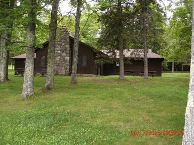
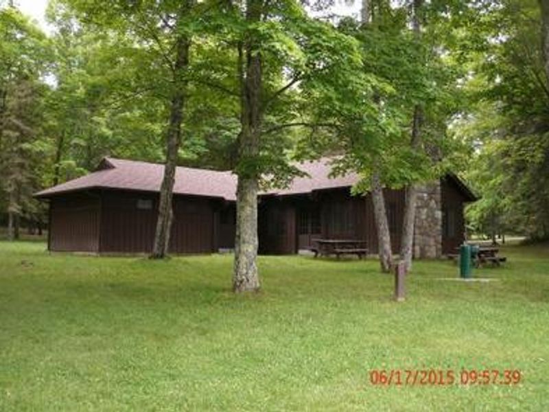
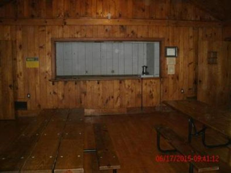
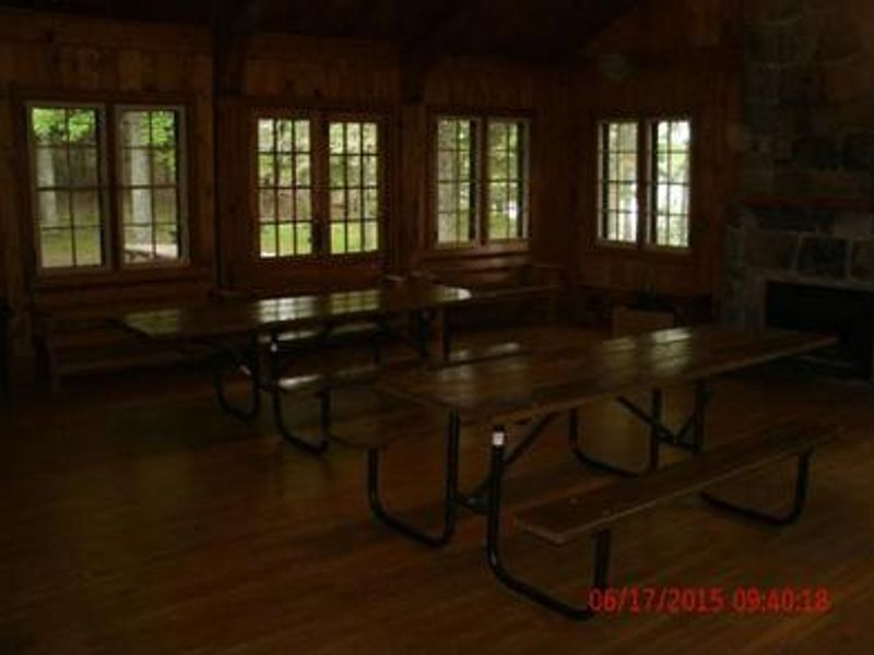
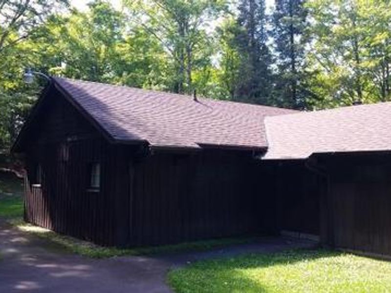
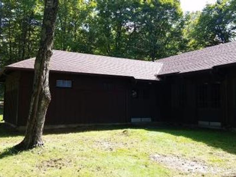
Lake Ottawa Pavilion is a historic day-use facility located within the Lake Ottawa Recreation Area in Ottawa National Forest, approximately 5 miles southwest of Iron River, Michigan. The pavilion was constructed by the Civilian Conservation Corps in the late 1930s and features a large enclosed gathering space complete with original log picnic tables, limited seating, and a distinctive stone fireplace. The surrounding day-use area offers excellent recreational opportunities including a swimming beach on Lake Ottawa's clear waters with natural sandy bottom, water fountains, picnic tables, and grills. Flush toilets and change rooms are co-located within the pavilion structure. An athletic field provides space for family activities. This is a day-use only facility with no overnight camping allowed. Operating hours are 6 a.m. to 10 p.m. daily. Groups exceeding 75 people require a special use permit. The nearby Lake Ottawa Campground offers overnight camping options, and the Ge Che hiking trail provides approximately nine miles of hiking through northern hardwood forest.
Directions
From Iron River, Michigan: Travel west on US Highway 2 to M-73. Turn left (south) on M-73 and travel approximately 3/4 mile to Lake Ottawa Road. Turn right (west) on Lake Ottawa Road and travel approximately 4 miles to the Lake Ottawa Recreation Area. Follow the signs to the day use area.
Amenities
| Water | Yes |
| Fires Allowed | — |
| Toilets | Yes |
| Dump Station | No |
| Wifi | — |
| Pets Allowed | — |
| Showers | No |
| Electric Hookups | — |
| Water Hookups | — |
| Sewer Hookups | — |
| Camp Store | No |
| Price | $100 |
Vehicle
| Max RV Length | — |
| Max Trailer Length | — |
| Big Rig Friendly | — |
| Pull Through Sites | No |
Contact
| mdsimpson@fs.fed.us | |
| Phone | +1 (906) 358-4724 |
Cell Service
| AT&T | Yes |
| Verizon | None |
| T-Mobile | None |
Availability
Photos
Community Posts
No posts yet. Be the first to share your experience!