Lake Ottawa Campground
Closed for winter season. Opens May 15 and operates through September 30, with the gate closing at noon CT on September 30. Sixteen sites are reservable via Recreation.gov; fifteen sites are first-come, first-served. The Lake Ottawa Pavilion is closed for the 2026 season due to rehabilitation work.
From Recreation.gov
**The Lake Ottawa Pavilion will be closed for the 2026 season due to rehabilitation work needed to the interior and exterior of the building.** Please check back for updates and the status of this facility. We are sorry for any inconvenience and thank you for your patience.
About
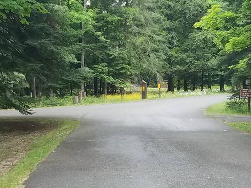
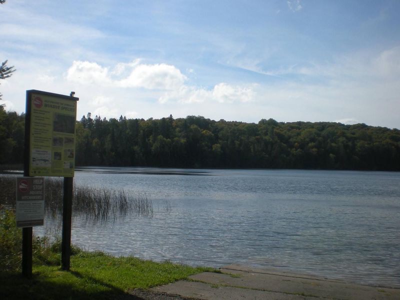
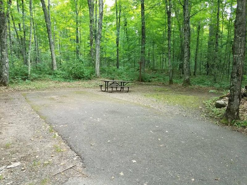
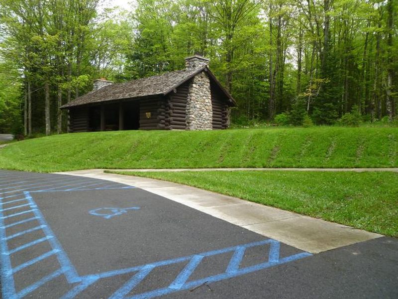
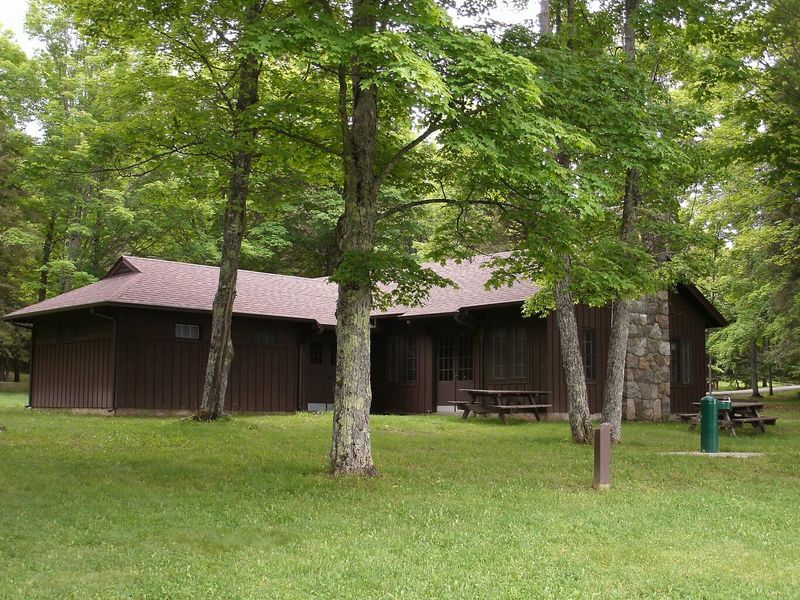
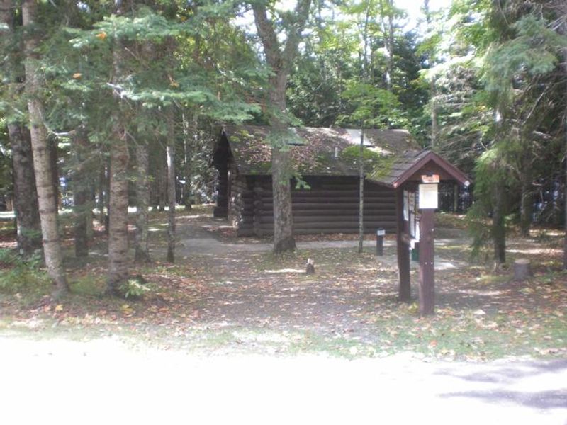
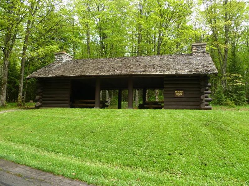
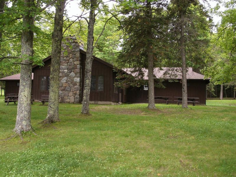
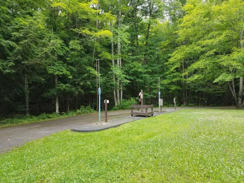
Lake Ottawa Campground occupies a scenic forested setting on the Iron River Ranger District of Ottawa National Forest, approximately 5 miles southwest of Iron River, Michigan. The campground is 95% surrounded by National Forest land and sits adjacent to Lake Ottawa, a deep cold-water lake supporting a variety of game fish including bass, northern pike, and panfish. Historic Civilian Conservation Corps structures from the 1930s, including two log toilet buildings with flush toilets and wash basins, add character to the site. The campground offers 32 standard nonelectric sites equipped with picnic tables and fire rings. Amenities include a pressurized potable water system and RV dump station. Sixteen sites accept reservations through Recreation.gov while fifteen remain first-come, first-served. Maximum stay is 14 consecutive days per location, with a limit of 8 people and 2 motorized vehicles per site. Recreation opportunities include fishing and boating on Lake Ottawa via a boat ramp with ample trailer parking, swimming at the adjacent beach, and hiking the 9-mile Ge-Che Trail accessible from the campground. The nearby day-use area features a CCC-era recreation building, athletic field, and picnic facilities.
Directions
From Iron River, MI: Travel west on US-2, turn south on M-73, travel approximately 3/4 mile, turn west on Lake Ottawa Road and travel approximately 4 miles to the campground. From Watersmeet, MI: Travel 28 miles east on US-2, turn south on M-73, travel approximately 3/4 mile, turn west on Lake Ottawa Road and travel approximately 4 miles to the campground.
Amenities
| Water | Yes |
| Fires Allowed | Yes |
| Toilets | Yes |
| Dump Station | Yes |
| Wifi | — |
| Pets Allowed | — |
| Showers | No |
| Electric Hookups | — |
| Water Hookups | — |
| Sewer Hookups | — |
| Camp Store | — |
| Price | $22 |
Vehicle
| Max RV Length | — |
| Max Trailer Length | — |
| Big Rig Friendly | — |
| Pull Through Sites | No |
Contact
| Phone | +1 (906) 396-5428 |
Cell Service
| AT&T | Yes |
| Verizon | None |
| T-Mobile | None |
Availability
Photos


Community Posts
No posts yet. Be the first to share your experience!