Devil Creek Campground
Opens May 22, 2026 for the season. Operates Memorial Day weekend through September. Seven sites are reservable through Recreation.gov; six sites are first-come-first-served.
Northern Region Camping & Target Restrictions, Pallet Prohibition
This order defines the maximum length of occupation at a single location or cumulatively at any number of locations within a calendar year, within the states of Montana, North Dakota, South Dakota, and Idaho
Weed Free Forage & Mulch Products Order for the Northern Region
It is illegal to possess, store or transport straw, hay, grain, seed or other forage or mulch products on Forest Service lands without documentation that the product is certified as “weed free” by a state certification process that meets or exceeds the North American Weed Free Forage standards.
R1-2023-02 - NCDE Food and Wildlife Attractant Storage Order
Northern Continental Divide Ecosystem Food/Wildlife Attractant Storage Order for the Flathead, Lolo, Kootenai, Helena-Lewis and Clark, and Beaverhead-Deerlodge National Forests within the Northern Continental Divide Ecosystem.
About
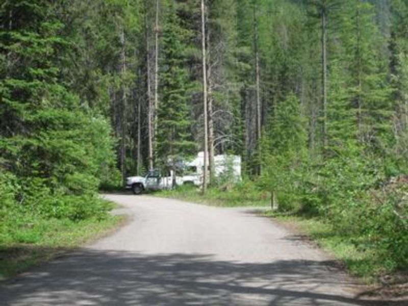
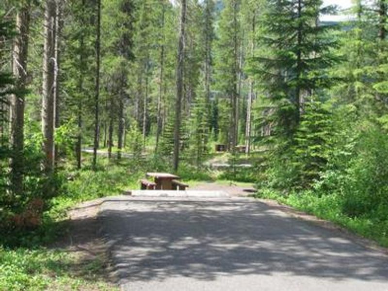
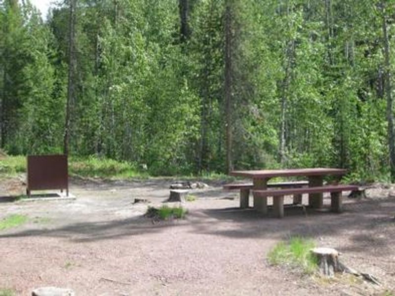
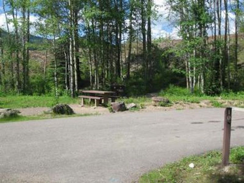
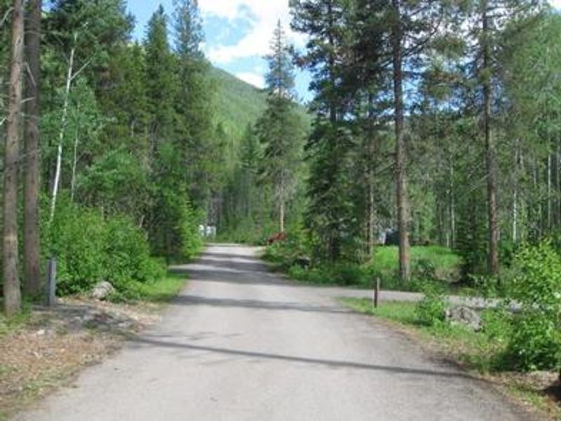
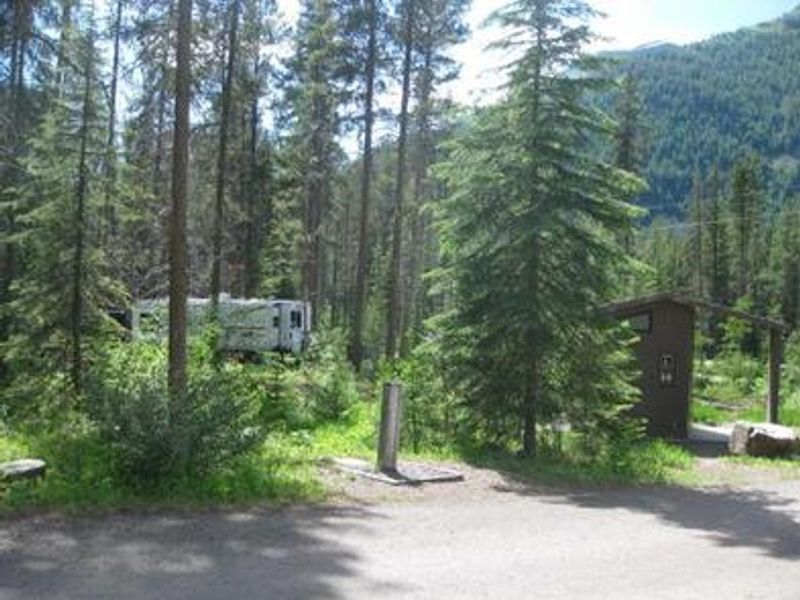
Devil Creek Campground occupies a scenic wooded setting 32 miles southeast of West Glacier and six miles west of Marias Pass in Flathead National Forest. The campground sits at 4,360 feet elevation in a conifer forest along US Highway 2, offering easy access to Glacier National Park's western entrance. The drive along Highway 2 provides stunning mountain scenery and opportunities for wildlife viewing. The campground has 13 sites total, with 7 available for reservation through Recreation.gov and 6 walk-up first-come-first-served sites. Each site features a picnic table and campfire ring with grill. Amenities include accessible vault toilets and drinking water spigots for jug filling. Campground roads and parking spurs are paved, and the maximum trailer length is 40 feet. Devil Creek Trail #167 departs from the campground area and provides access into the Spotted Bear Wilderness for hiking and backpacking. A food storage order is in effect, and firewood should not be transported between locations. The stay limit is 16 consecutive nights.
Directions
From West Glacier, head east on US Highway 2 approximately 32 miles. From East Glacier Park, take US Highway 2 west approximately 19 miles. The campground is located six miles west of Marias Pass.
Amenities
| Water | Yes |
| Fires Allowed | Yes |
| Toilets | Yes |
| Dump Station | No |
| Wifi | No |
| Pets Allowed | — |
| Showers | No |
| Electric Hookups | — |
| Water Hookups | — |
| Sewer Hookups | — |
| Camp Store | No |
| Price | $22 |
Vehicle
| Max RV Length | 40ft |
| Max Trailer Length | 40ft |
| Big Rig Friendly | No |
| Pull Through Sites | No |
Contact
| Phone | +1 (406) 752-7924 |
Cell Service
| AT&T | None |
| Verizon | None |
| T-Mobile | None |
Availability
Photos
Community Posts
No posts yet. Be the first to share your experience!