USA 250 Shirt →
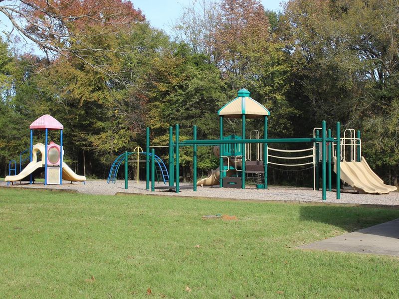
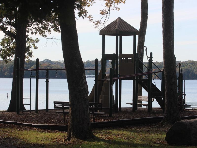
COOK DAY USE AREA - playground
Closed

This is a day-use only facility with no overnight camping. The area is currently closed but reopens May 26, 2026. Group shelter reservations are available through Recreation.gov. A $5 per vehicle day-use fee applies.

Flash Flood Warning issued July 22 at 1:49AM CDT until July 22 at 3:00AM CDT by NWS Nashville TN

1:49 AM — 3:00 AM

FFWOHX The National Weather Service in Nashville has extended the * Flash Flood Warning for... Davidson County in middle Tennessee... Smith County in middle Tennessee... Wilson County in middle Tennessee... * Until 300 AM CDT. * At 149 AM CDT, Doppler radar indicated thunderstorms producing heavy rain across the warned area. Between 4 and 5 inches of rain have fallen. Flooding impacts will continue, but no additional rainfall is expected. Flash flooding is ongoing or expected to begin shortly. HAZARD...Flash flooding caused by thunderstorms. SOURCE...Radar. IMPACT...Flash flooding of small creeks and streams, urban areas, highways, streets and underpasses as well as other poor drainage and low-lying areas. * Some locations that will experience flash flooding include... Lebanon, Carthage, Nashville, Madison, Hendersonville, Brentwood, La Vergne, Mount Juliet, Goodlettsville, Millersville, Nolensville, Forest Hills, Oak Hill, Coopertown, Belle Meade, Lakewood, Ridgetop, Watertown, Gordonsville and Belinda City.

Flood Watch issued July 21 at 12:59PM CDT until July 22 at 7:00AM CDT by NWS Nashville TN

July 21st, 12:59 PM — 7:00 AM

* WHAT...Flooding caused by excessive rainfall continues to be possible. * WHERE...A portion of Middle Tennessee, including the following counties, Bedford, Cannon, Cheatham, Clay, Coffee, Cumberland, Davidson, De Kalb, Dickson, Fentress, Giles, Hickman, Humphreys, Jackson, Lawrence, Lewis, Macon, Marshall, Maury, Overton, Perry, Pickett, Putnam, Rutherford, Smith, Sumner, Trousdale, Van Buren, Warren, Wayne, White, Williamson and Wilson. * WHEN...From 6 PM CDT this evening through Wednesday morning. * IMPACTS...Excessive runoff may result in flooding of rivers, creeks, streams, and other low-lying and flood-prone locations. * ADDITIONAL DETAILS... - Thunderstorms with locally torrential downpours will develop across Middle Tennessee this evening producing rainfall totals greater than 2 inches which could cause flash flooding. - http://www.weather.gov/safety/flood

About

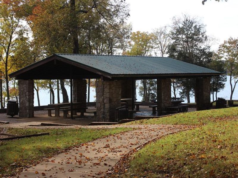
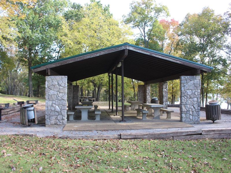
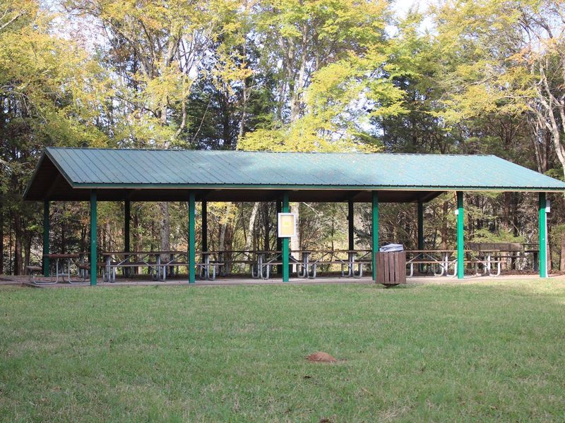
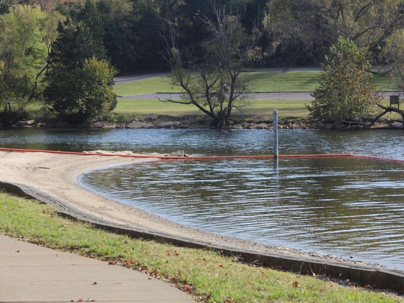
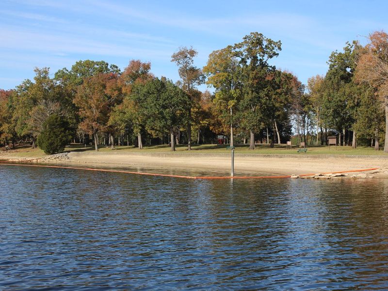
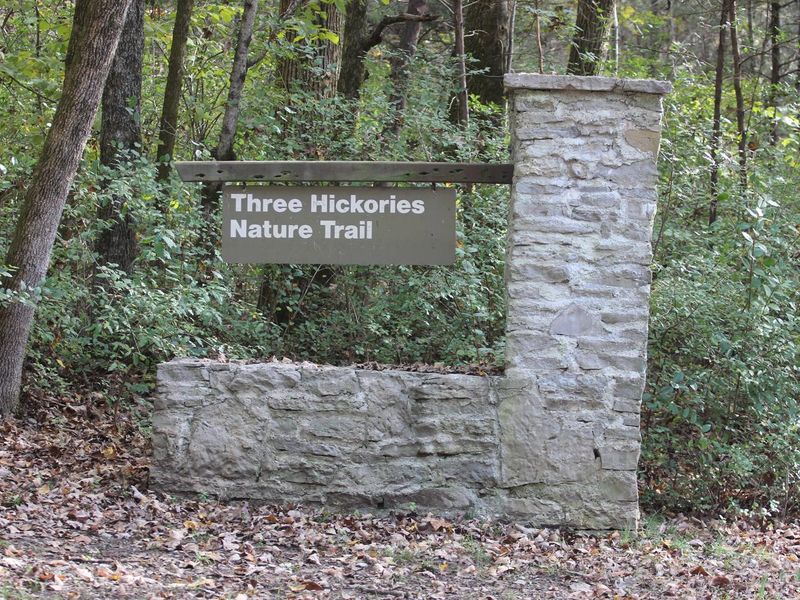
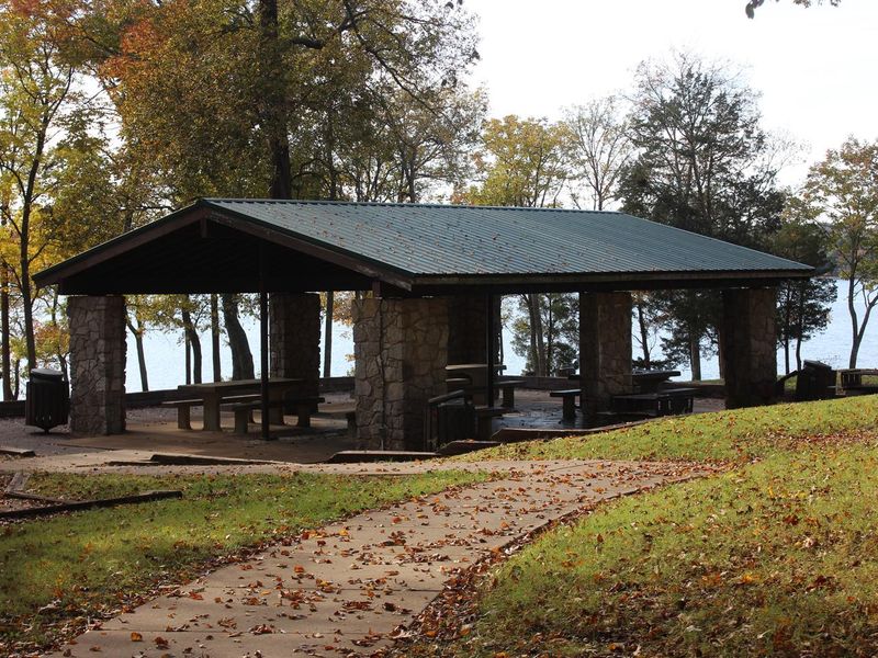
Cook Day Use Area is a lakeside recreation site on J. Percy Priest Lake, located about ten miles east of downtown Nashville. The facility features two large group shelters with electric hookups that can be reserved for events, accommodating 75 and 100 guests respectively. Amenities include a sandy swimming beach, a large playground surrounded by grassy areas, a boat ramp, and flush restrooms. The Three Hickories Nature Trail offers a 1.6-mile hike through the wooded area within the recreation area. This is a day-use only facility with no overnight camping. A $5 day-use fee is charged per vehicle upon entry. Pets are prohibited. Activities other than picnicking in the group shelters must be pre-approved by the Resource Manager.

Directions

From downtown Nashville, take I-40 east for 7 miles to exit 221B. Turn right on Old Hickory Boulevard, left on Bell Road, right on New Hope Road and right on Stewarts Ferry Pike. Follow the signs to the picnic shelters.

Amenities

Water
Fires Allowed
Toilets Yes
Dump Station
Wifi
Pets Allowed No
Showers
Electric Hookups
Water Hookups
Sewer Hookups
Camp Store
Price $50

Vehicle

Max RV Length
Max Trailer Length
Big Rig Friendly
Pull Through Sites No

Contact

Phone +1 (615) 889-1975

Cell Service

AT&T None
Verizon Yes
T-Mobile Yes

Availability

Photos

COOK DAY USE AREA - playground
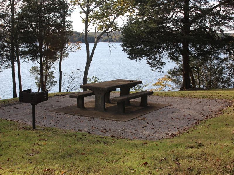
Picnic Area
Cook Day Use - Shelter 1
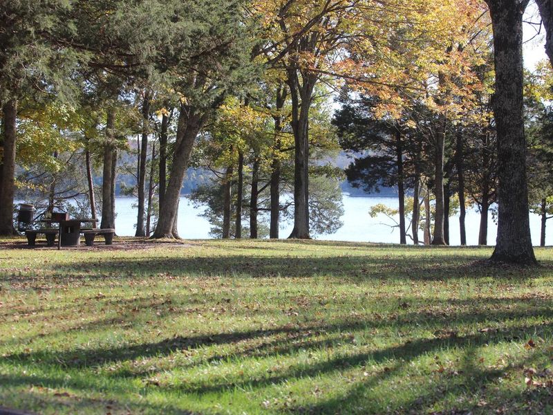
Cook Day Use Area
Side View
COOK DAY USE AREA - shelter 1
COOK DAY USE AREA - playground
COOK DAY USE AREA - SWIM BEACH
Beach Area
COOK DAY USE AREA - THREE HICKORIES TRAIL
COOK DAY USE AREA - SHELTER 2

Community Posts

No posts yet. Be the first to share your experience!