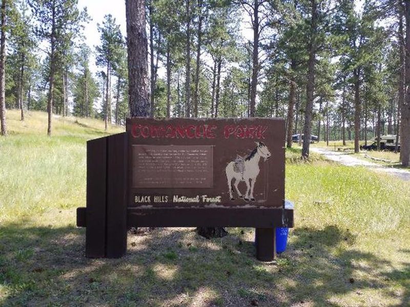
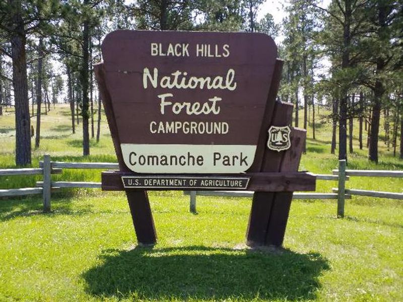
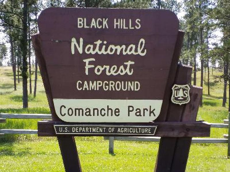
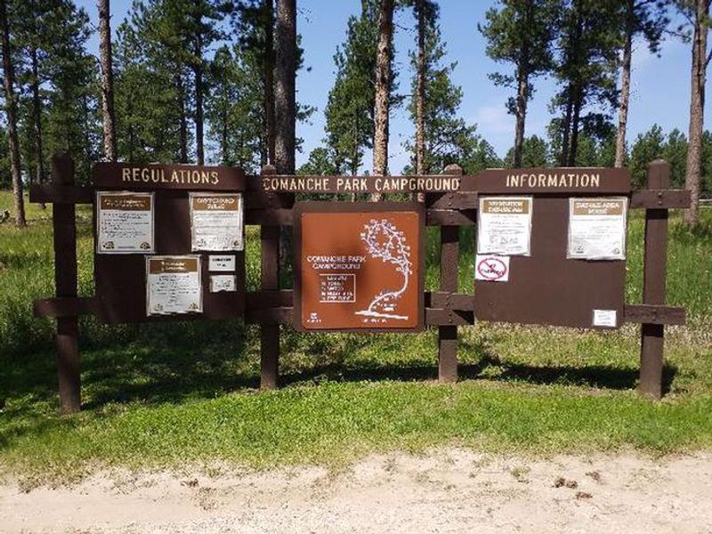
Comanche Park
The campground is open for reservations via Recreation.gov. There is a temporary water outage; bring all the water you need including drinking water. Stage 1 fire restrictions are in effect in portions of Black Hills National Forest, though campfires in established fire rings remain permitted at this campground.
From Recreation.gov
Our facility is experiencing a temporary water outage. Please bring all the water you’ll need for your visit, including drinking water.
From Recreation.gov
**Please Note: **One RV with tow vehicle per single site or one vehicle per tent site. Most sites can accommodate 1 extra vehicle that is not included with the reservation fee. ** Extra vehicles will be charged a per night fee that is collected at the campground.**
Wheeled Vehicles in Wilderness
This order describes the prohibition of wheeled vehicles in all National Forest Wilderness Areas of the Rocky Mountain Region and any exceptions thereof.
About
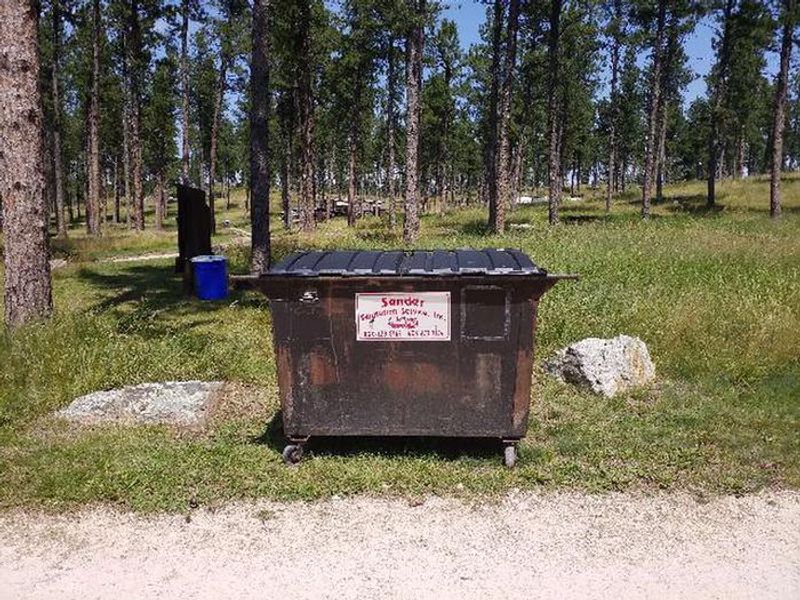
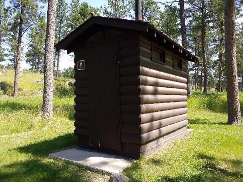
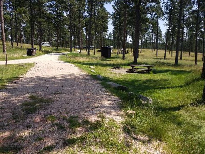
Situated 6.5 miles west of Custer, South Dakota, Comanche Park Campground provides a relaxing base for exploring the southern Black Hills National Forest. The campground occupies an open Ponderosa pine forest with 20 spacious standard nonelectric sites. Towering pine trees offer full shade coverage, and each site accommodates tents, trailers, pickup campers, pop-ups, fifth wheels, and RVs with driveways up to 58 feet on gravel surfaces. The campground is equipped with vault toilets, picnic tables at each site, and campfire rings where fires are permitted. A dumpster is available for trash disposal. Pets are welcome with a $2 per night fee and must be kept leashed and attended. Generators are permitted between 6 a.m. and 10 p.m. Comanche Park is the closest campground to Jewel Cave National Monument, the second longest cave in the world at over 159 miles of mapped passages. Day trips to Custer State Park, Crazy Horse Memorial, Wind Cave National Park, and Black Elk Peak (the highest point east of the Rockies) are easily accessible.
Directions
In Custer, SD, at the intersection of Mt. Rushmore Rd (State Rt. 89/US Rt. 16) and 5th St (State Rt. 89/US Rt. 385), take Rt. 16 west 5.8 miles to campground sign. Turn left at sign into campground.
Amenities
| Water | No |
| Fires Allowed | Yes |
| Toilets | Yes |
| Dump Station | — |
| Wifi | — |
| Pets Allowed | Yes |
| Showers | No |
| Electric Hookups | — |
| Water Hookups | — |
| Sewer Hookups | — |
| Camp Store | — |
| Price | $26 |
Vehicle
| Max RV Length | 63ft |
| Max Trailer Length | 63ft |
| Big Rig Friendly | Yes |
| Pull Through Sites | No |
Contact
| Phone | +1 (605) 574-4402 |
Cell Service
| AT&T | None |
| Verizon | None |
| T-Mobile | None |
Availability
Photos

Community Posts
No posts yet. Be the first to share your experience!