Cienega Picnic Site
This is a day-use group picnic site only; no overnight camping is permitted. The site operates weekdays only from May 15 through October 15. Reservations are required through Recreation.gov. Visitors must bring their own water as water lines are not operational.
Cannabis Possession Prohibited
Order 03-00-00-21-002 prohibits possessing, storing, or transporting a cannabis plant, any part of a cannabis plant, or any substance derived from a cannabis plant within the Southwestern Region National Forests in the State of New Mexico and the National Grasslands in the states of Texas and…
Mountainair and Sandia Ranger Districts Stage 1 Fire Restriction Lifted
(Albuquerque, NM – September 17, 2026) — The Cibola National Forest & National Grasslands terminates Stage I Fire Restrictions previously on the Mountainair, and Sandia Ranger Districts.Pursuant to 16 U.S.C. 551 and Title 36 CFR 261.50(a), the prohibitions listed in Order Number Order…
Mountainair Ranger District - Capilla Temporary Road and Area Closure Order 03-03-04-26-16
The Cibola National Forest and National Grasslands has issued a road and area closure order (Order 03-03-04-26-16) for National Forest Road (NFR) 245, starting at the forest boundary to Capilla Peak Lookout to include New Canyon and Capilla Peak Campground Areas as depicted on the attached map.The…
About
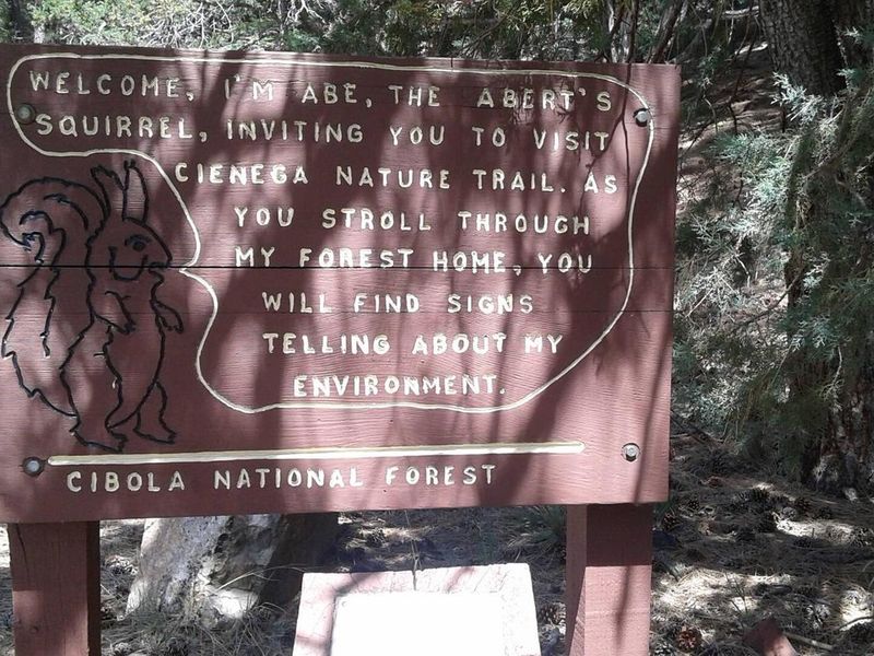
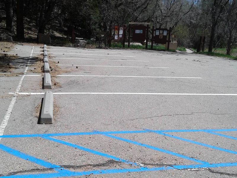
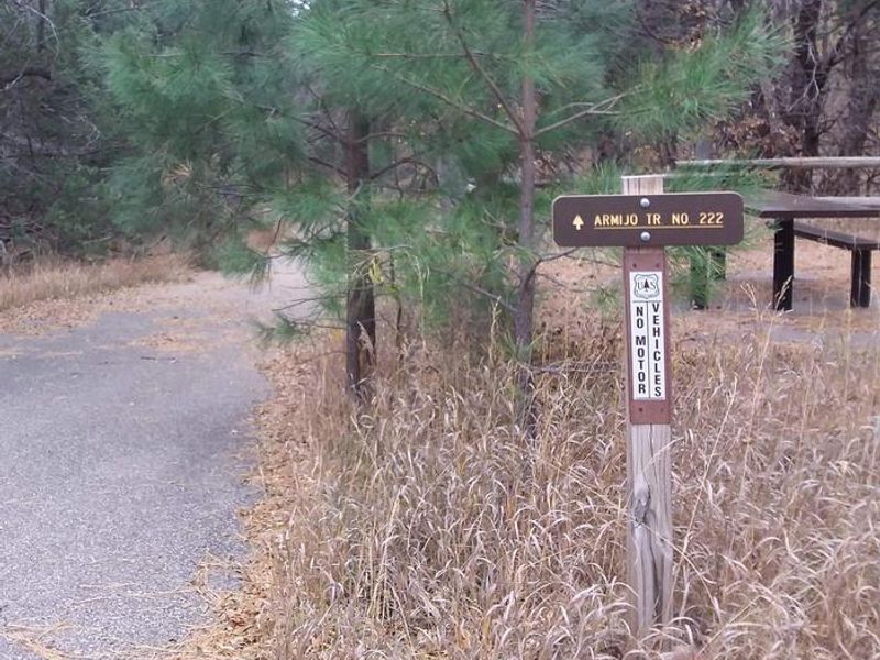
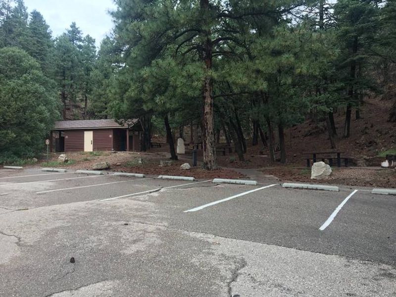
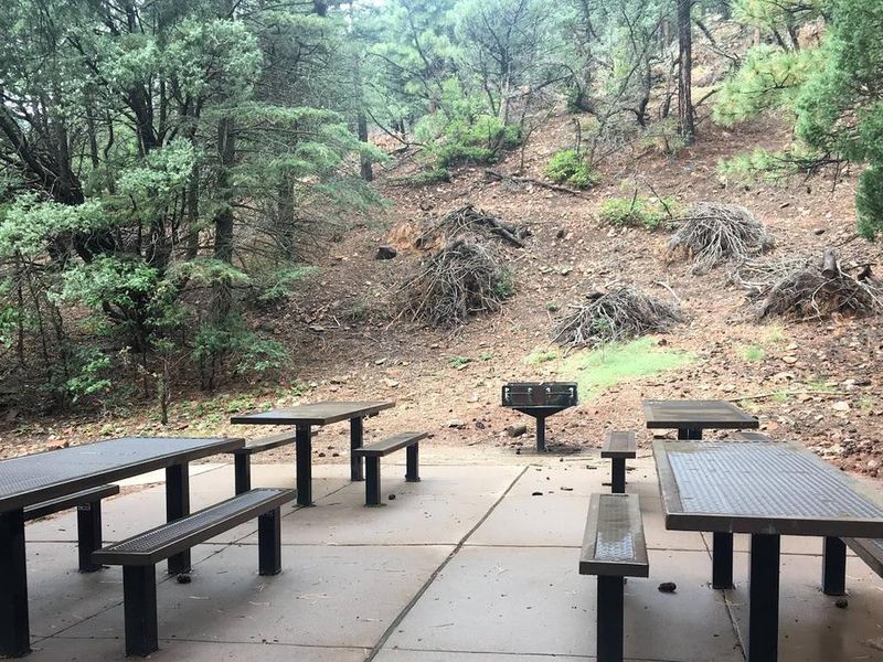
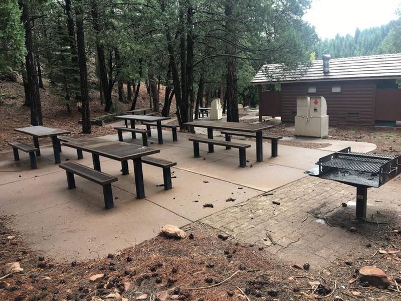
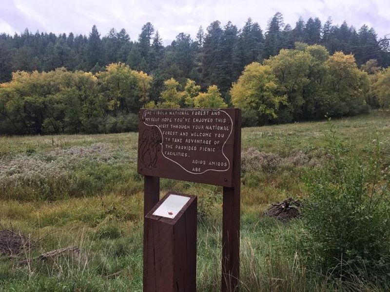
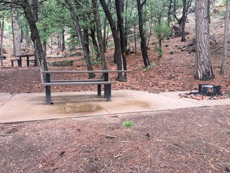
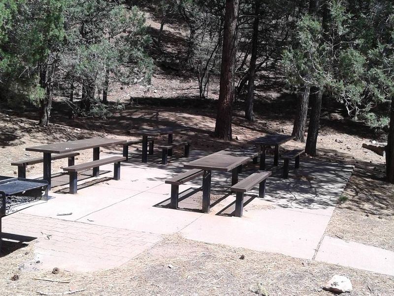
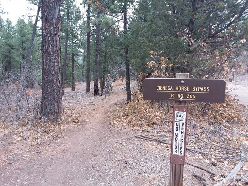
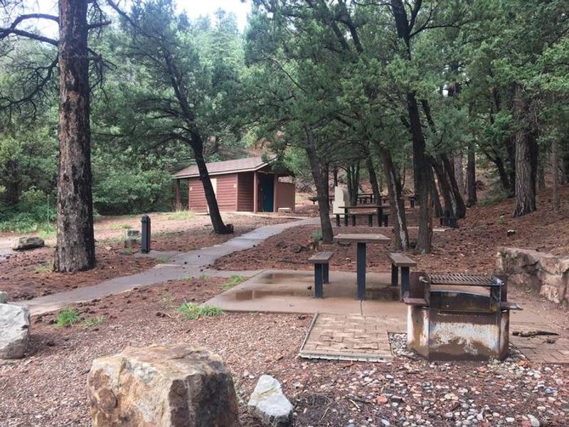
Cienega Picnic Site is a beautiful, shaded day-use group picnic area nestled in the Sandia Mountains of Cibola National Forest. The fairly flat site sits along a mountain stream that has created a wet meadow, drawing birds and other wildlife. Surrounded by trees and an interpretive trail/sidewalk, the site accommodates up to 50 people for events ranging from picnics to weddings. The accessible interpretive trail was cooperatively built by the New Mexico Association for the Blind and the Forest Service, designed for visitors with disabilities or limited mobility. An accessible patio near the trailhead provides a suitable gathering spot. From the picnic area, visitors can access hiking and horseback riding trails, including a nearly 10-mile round-trip route to the mountain crest through fir forests abundant with wildflowers. There is no overnight camping at Cienega. Water lines were retired in the mid-2000s due to freezing pipe issues, so visitors must bring their own water. Grills, bear-proof trash containers, and vault toilets are provided. No shelter other than natural tree shade is available.
Directions
From Albuquerque, drive east on I-40 to Exit 175. Proceed north on Highway 14 about 7 miles to Highway 536. Turn onto Highway 536 and wind your way up. Look for signage for Cienega and Sulphur picnic sites on your left. As you turn into the entrance, Sulphur is directly to the right and Cienega entrance is further up and to your left. The road to Cienega continues for about a half mile drive into the woods.
Nearby Campgrounds
Location
Amenities
| Water | No |
| Fires Allowed | Yes |
| Toilets | Yes |
| Dump Station | No |
| Wifi | No |
| Pets Allowed | — |
| Showers | No |
| Electric Hookups | — |
| Water Hookups | — |
| Sewer Hookups | — |
| Camp Store | No |
| Price | $65 |
Vehicle
| Max RV Length | — |
| Max Trailer Length | — |
| Big Rig Friendly | — |
| Pull Through Sites | No |
Contact
| Phone | +1 (505) 281-3304 |
Cell Service
| AT&T | Yes |
| Verizon | Yes |
| T-Mobile | None |
Availability
Photos
Community Posts
No posts yet. Be the first to share your experience!