Balsam Mt. Campground
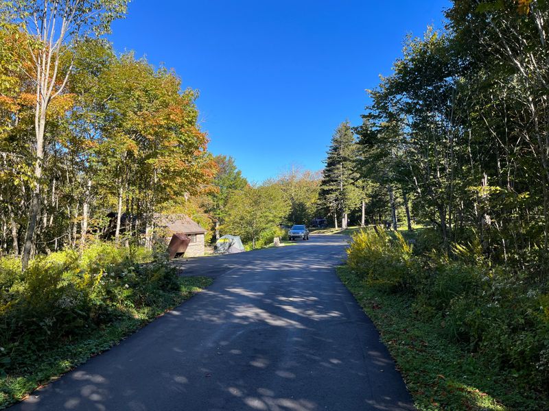
Open seasonally from Memorial Day weekend through mid-October. Reservations required via Recreation.gov up to six months in advance. Potable water and flush toilets are available during the operating season. The access road prohibits motorhomes over 25 feet and any vehicle towing a trailer.
About
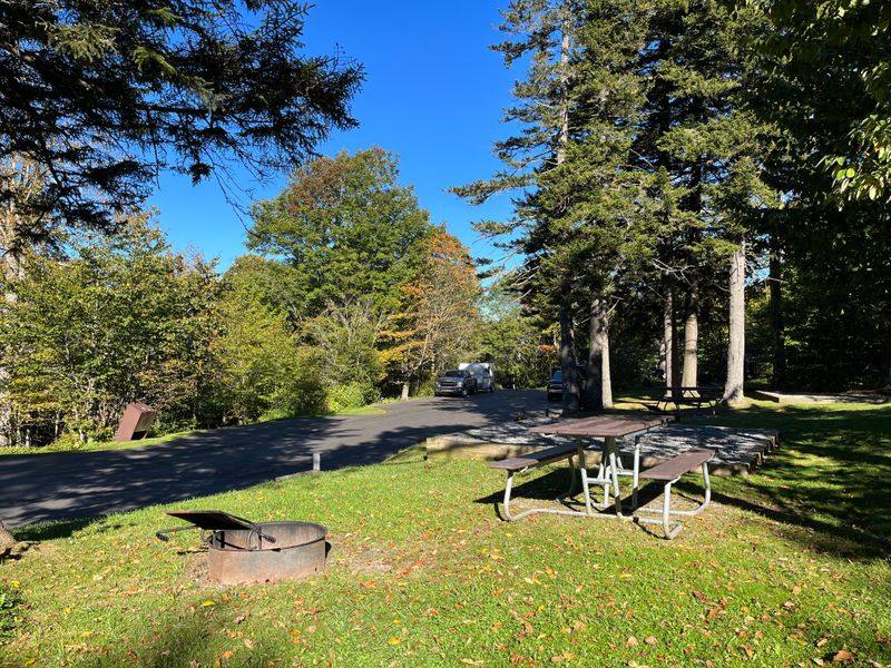
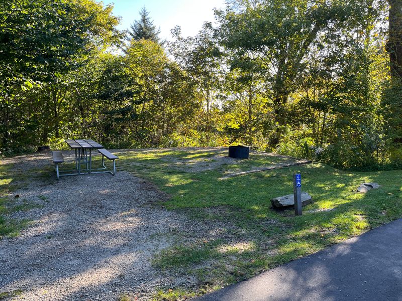
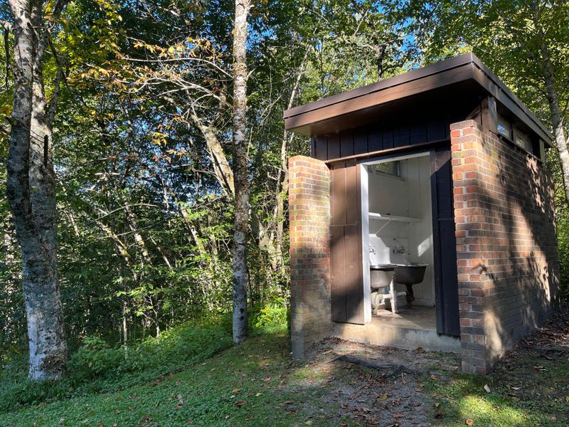
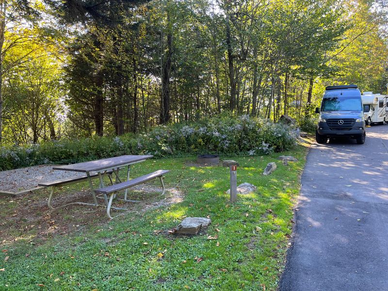
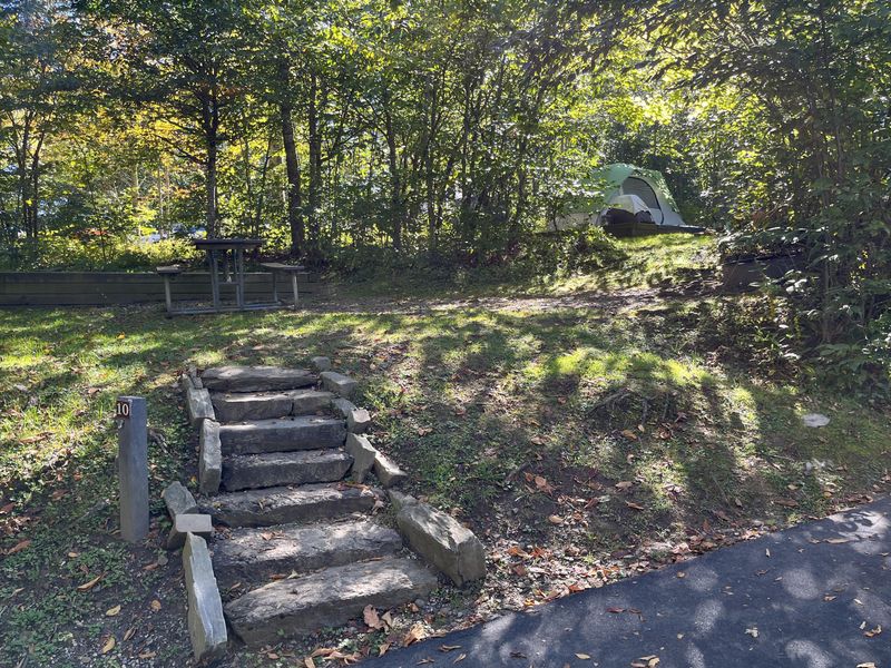
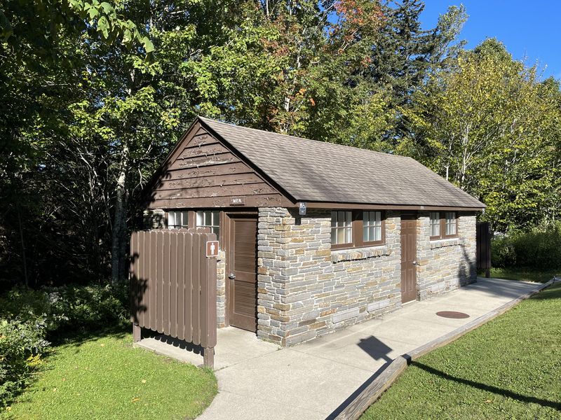
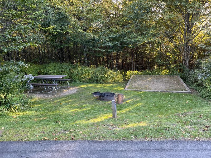
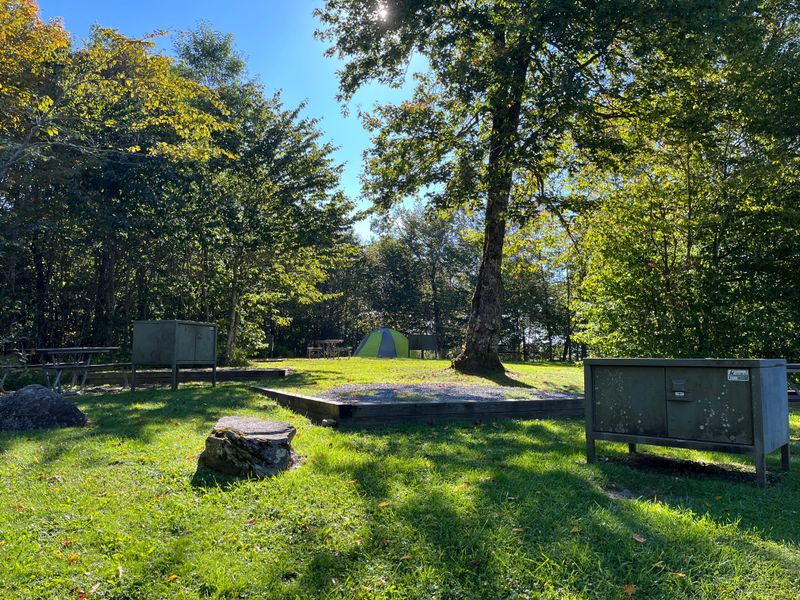
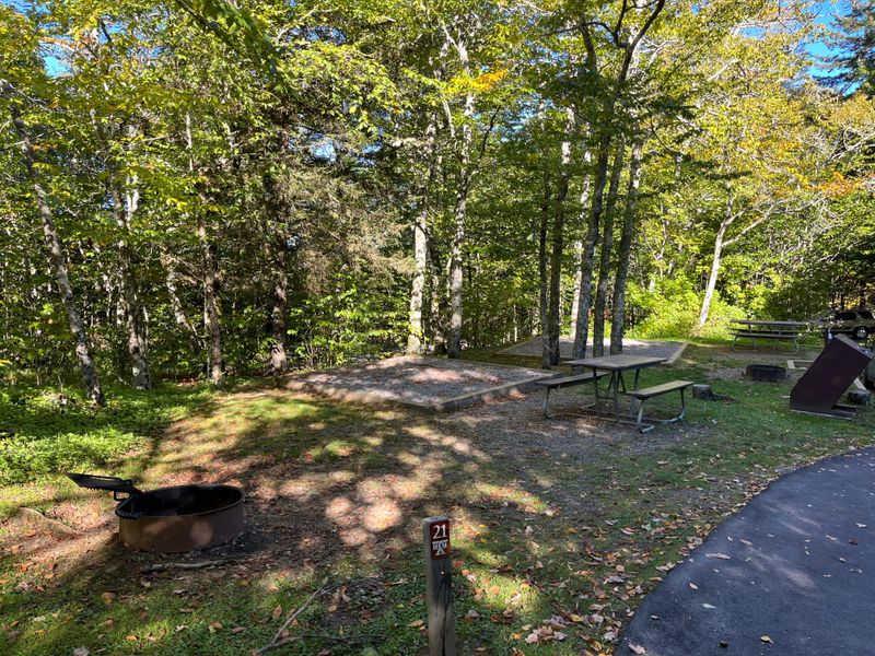
Balsam Mountain Campground occupies one of the most remote and peaceful corners of Great Smoky Mountains National Park, perched at 5,310 feet elevation in the Cataloochee-Balsam Mountain area. The high altitude creates a notably cooler climate than lower park campgrounds, with summer daytime temperatures rarely exceeding 70°F and nighttime lows dipping to 50°F. Heavy rainfall characterizes the area, so campers should come prepared with layers and rain gear. The campground offers 42 sites suitable for tents and small RVs up to 24 feet. Each site includes a fire ring and picnic table, with bear-proof food storage lockers distributed throughout. Flush toilets and potable water are available seasonally, though there are no showers, hookups, or dump station. The restrooms lack lighting. An amphitheater hosts seasonal ranger programs. Access is via Heintooga Ridge Road, which connects to the Blue Ridge Parkway. The road prohibits buses, motorhomes over 25 feet, and any vehicle towing a trailer. Only RVs with slide-outs on one side can camp here due to parallel parking requirements. Cell coverage is extremely limited, so reservations must be made before arrival.
Directions
From the Blue Ridge Parkway at Milepost 458.2, turn onto Heintooga Ridge Road and follow it approximately 8.5 miles to the campground. The road prohibits buses, motorhomes over 25 feet, and vehicles towing trailers.
Amenities
| Water | Yes |
| Fires Allowed | Yes |
| Toilets | Yes |
| Dump Station | No |
| Wifi | No |
| Pets Allowed | Yes |
| Showers | No |
| Electric Hookups | — |
| Water Hookups | — |
| Sewer Hookups | — |
| Camp Store | No |
| Price | $30 |
Vehicle
| Max RV Length | 24ft |
| Max Trailer Length | 24ft |
| Big Rig Friendly | No |
| Pull Through Sites | — |
Contact
| GRSM_Smokies_Information@nps.gov | |
| Phone | +1 (865) 436-1200 |
Cell Service
| AT&T | None |
| Verizon | Yes |
| T-Mobile | None |
Photos
Community Posts
No posts yet. Be the first to share your experience!