Brickhill Bluff Wilderness Campsite
Open for camping. Wilderness areas close during managed hunts from October through January. Mainland parking lot closes June 2, 2026 for rehabilitation. Ferry does not operate Tuesdays and Wednesdays from December through February.
Flood Watch issued October 10 at 2:04AM EDT until October 10 at 8:00PM EDT by NWS Jacksonville FL
* WHAT...Flash flooding caused by excessive rainfall continues to be possible. * WHERE...A portion of southeast Georgia, including the following areas, Appling, Atkinson, Bacon, Brantley, Clinch, Coastal Camden, Coastal Glynn, Coffee, Echols, Inland Camden, Inland Glynn, Jeff Davis, Northeastern Charlton, Northern Ware, Pierce, Southern Ware, Wayne and Western Charlton. * WHEN...Through this evening. * IMPACTS...Excessive runoff may result in flooding of rivers, creeks, streams, and other low-lying and flood-prone locations. * ADDITIONAL DETAILS... - A lifting warm front and moisture from the remnants of Tropical Cyclone Isaias passing northwest of the area will bring rounds of moderate to heavy showers and thunderstorms across areas of Southeast Georgia and the Suwannee Valley of Northeast Florida today. Additional rainfall amounts of 1 to 3 inches are likely with locally higher amounts possible. - http://www.weather.gov/safety/flood
Rip Current Statement issued October 10 at 9:44AM EDT until October 11 at 6:00AM EDT by NWS Jacksonville FL
* WHAT...Dangerous rip currents. * WHERE...Southeast Georgia Beaches. * WHEN...Through late tonight. * IMPACTS...Rip currents can sweep even the best swimmers away from shore into deeper water.
Scam Warning - Book ferry tickets through concessioner site only
Valid ferry tickets can only be purchased through the website www.cumberlandislandferry.com. Check site carefully before purchasing. Only valid tickets will be honored.
About
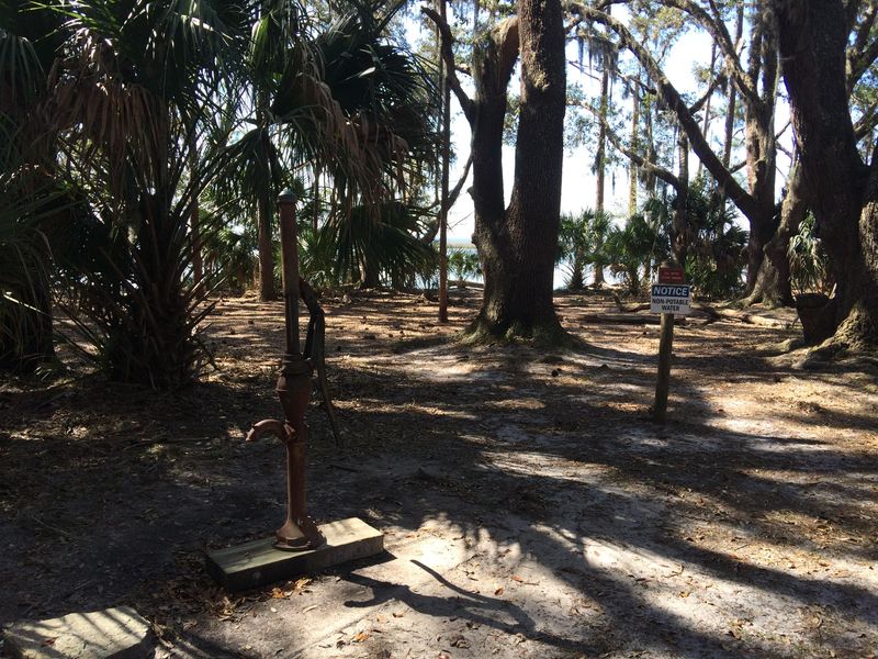
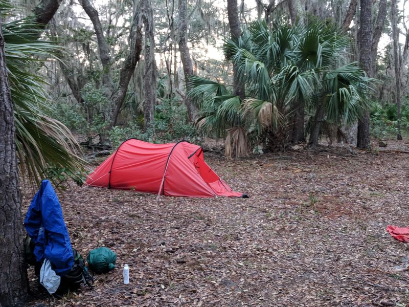
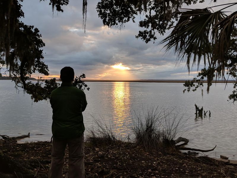
Brickhill Bluff Wilderness Campsite sits in the designated wilderness on the northern end of Cumberland Island, Georgia's largest and southernmost barrier island. At 10.5 miles from the Sea Camp ferry dock, it is the most remote campground on the island and requires serious backcountry preparation. The site overlooks the Brickhill River on the island's western side, offering solitude that few visitors to the island experience. This is true primitive camping with no established facilities. A hand-pump well provides water that must be treated before drinking. There are no toilets; campers must dig 6-inch catholes at least 70 paces from the campsite and water sources. Fires are strictly prohibited in the wilderness area, though portable camp stoves are allowed for cooking. All food and trash must be hung to protect from raccoons and other wildlife, and everything must be packed out. Access is by ferry to Sea Camp dock followed by the long hike, or by private boat to Plum Orchard dock which is closer to the campsite. Kayakers can paddle directly to the bluff. No carts, wheeled coolers, or bicycles are permitted in the wilderness. The wilderness area closes during managed hunts from October through January each year. Reservations are required through Recreation.gov up to six months in advance.
Directions
Cumberland Island is only accessible by boat. Take the ferry from St. Marys, GA and disembark at Sea Camp dock, then hike 10.5 miles north on island trails to Brickhill Bluff. Private boaters can use Plum Orchard dock, which is closer. Kayakers may paddle directly to the site. No wheeled vehicles, carts, or bicycles are permitted in the wilderness area.
Nearby Campgrounds
Amenities
| Water | No |
| Fires Allowed | No |
| Toilets | No |
| Dump Station | No |
| Wifi | No |
| Pets Allowed | No |
| Showers | No |
| Electric Hookups | — |
| Water Hookups | — |
| Sewer Hookups | — |
| Camp Store | No |
| Price | $9 |
Vehicle
| Max RV Length | — |
| Max Trailer Length | — |
| Big Rig Friendly | No |
| Pull Through Sites | No |
Contact
| Phone | +1 (912) 882-4336 |
Cell Service
| AT&T | Yes |
| Verizon | Yes |
| T-Mobile | None |
Photos
Community Posts
No posts yet. Be the first to share your experience!