Blanco River Group Campground
Open for the season through September. Stage 1 fire restrictions currently in effect. Reservations required via Recreation.gov. The campground is behind a locked gate; combination provided upon booking. Check-in 2:00 PM, check-out 12:00 PM. Quiet hours 10 PM to 6 AM.
Wheeled Vehicles in Wilderness
This order describes the prohibition of wheeled vehicles in all National Forest Wilderness Areas of the Rocky Mountain Region and any exceptions thereof.
Weed Free Forage Products
The purpose of this Order is to prevent the introduction or spread of noxious weeds.
Cave Closure and Restrictions
The purpose of this Order is to reduce the spread of the fungus that causes White nose syndrome and to protect bat species during critical biological periods.
About
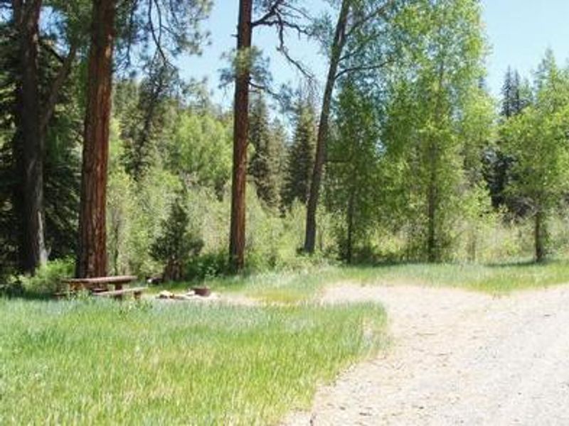
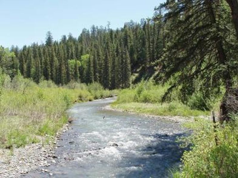
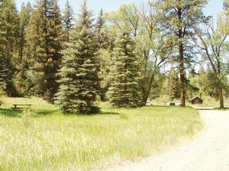
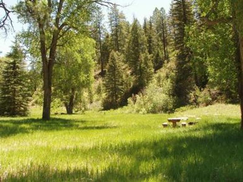
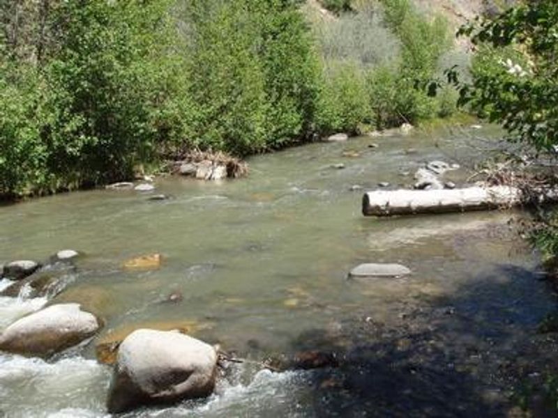
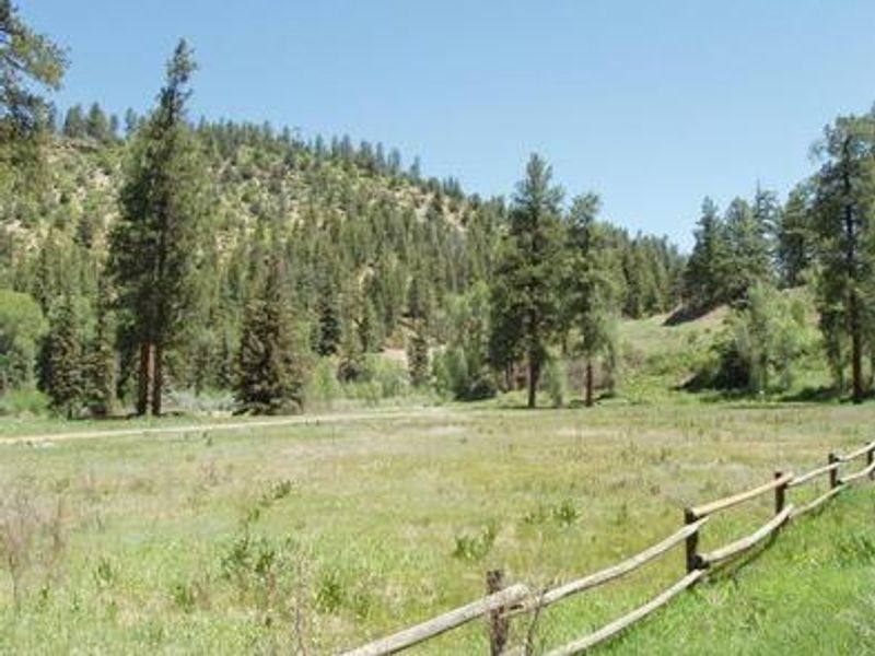
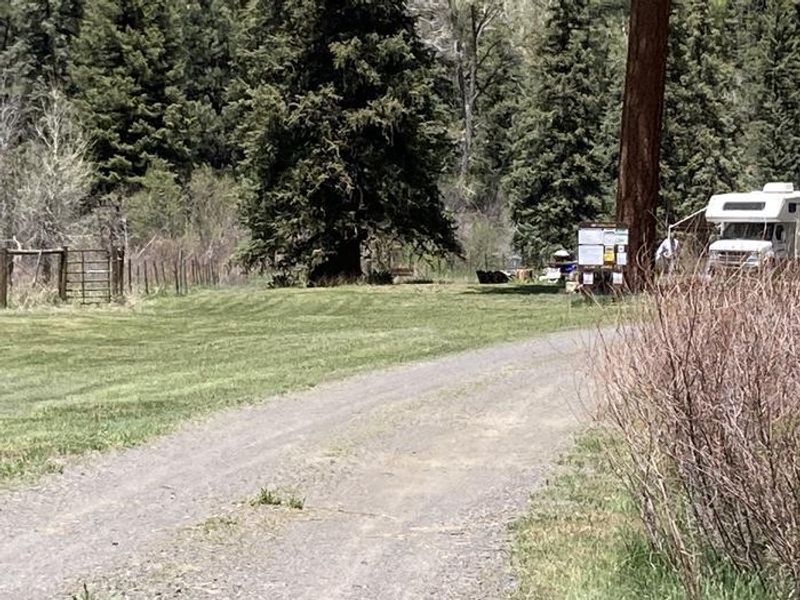
Blanco River Group Campground sits on the banks of the Blanco River, surrounded by ponderosa pines and cottonwoods in a fairly level river bottom setting. Located about 15 miles southeast of Pagosa Springs via Highway 84 and Forest Road 656, it serves as a convenient stopping point between Pagosa Springs, Colorado and Chama, New Mexico. The group site accommodates up to 100 people with 15 fenced acres and a full mile of private river access. The campground features three picnic areas with large banquet-style tables, vault toilets, and potable water. Fire grates are provided at each camping area, and the grounds include horseshoe pits and a volleyball court (bring your own net and ball). Four of the seven parking spurs accommodate large RVs up to 35 feet, with ample tent space throughout. The Blanco River offers good fishing for stocked trout on this lightly fished stretch. Nearby trails include the Navajo Peak Trail, V-Rock Trail (accessible from Buckles Lake Road about 7 miles south), and Leche Creek Trail via Blanco Basin Road. The campground is behind a locked gate; the combination lock code is sent with your reservation confirmation from Recreation.gov.
Directions
From Pagosa Springs, travel south on Highway 84 approximately 11.5 miles, then turn left onto Forest Road 656. The campground is located approximately 2 miles down FR 656.
Location
Amenities
| Water | Yes |
| Fires Allowed | Yes |
| Toilets | Yes |
| Dump Station | No |
| Wifi | No |
| Pets Allowed | — |
| Showers | No |
| Electric Hookups | — |
| Water Hookups | — |
| Sewer Hookups | — |
| Camp Store | No |
| Price | $140 |
Vehicle
| Max RV Length | 35ft |
| Max Trailer Length | — |
| Big Rig Friendly | No |
| Pull Through Sites | No |
Contact
| SM.FS.PagosaRD@usda.gov | |
| Phone | +1 (970) 264-2268 |
Cell Service
| AT&T | None |
| Verizon | None |
| T-Mobile | None |
Availability
Photos
Community Posts
No posts yet. Be the first to share your experience!