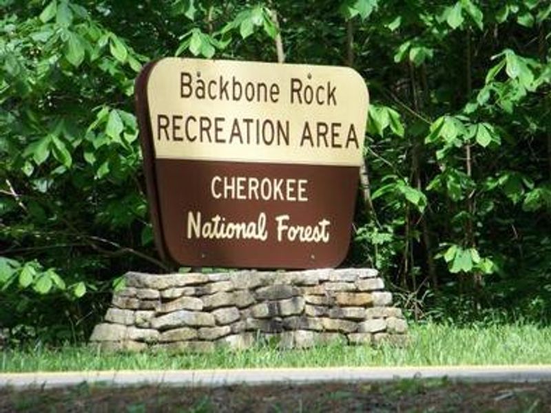
Backbone Rock Campground
Open for the 2026 season from April 27 through October 13. Gate hours are 7 AM to 10 PM. Check-in 2-10 PM, check-out 11 AM. Maximum stay 14 consecutive days. Bear country: all food and scented items must be stored in bear-resistant containers or suspended. Alcohol prohibited.
Flood Watch issued July 21 at 1:45PM EDT until July 22 at 8:00PM EDT by NWS Morristown TN
* WHAT...Flash flooding caused by excessive rainfall is possible. * WHERE...Portions of east Tennessee, including the following areas, Anderson, Blount Smoky Mountains, Campbell, Claiborne, Cocke Smoky Mountains, Grainger, Hamblen, Hancock, Hawkins, Jefferson, Johnson, Knox, Loudon, Morgan, North Sevier, Northwest Blount, Northwest Carter, Northwest Cocke, Northwest Greene, Roane, Scott TN, Sevier Smoky Mountains, Southeast Carter, Southeast Greene, Sullivan, Unicoi, Union and Washington TN and southwest Virginia, including the following areas, Lee, Russell, Scott VA, Washington VA and Wise. * WHEN...From midnight EDT tonight through Wednesday evening. * IMPACTS...Excessive runoff may result in flooding of rivers, creeks, streams, and other low-lying and flood-prone locations. * ADDITIONAL DETAILS... - Periods of showers and thunderstorms are expected tonight into Wednesday. Locations that receive multiple rounds or extended periods of locally heavy rainfall could experience flash flooding. Locations that have recently seen flooding need less rainfall to have additional flooding, and should take additional rounds of heavy rain and storms seriously. - http://www.weather.gov/safety/flood
Campsite limitations
Specific Camping prohibitions1. Camping for more than 14 days in developed and dispersed areas. Camping in anylocation is limited to 14 consecutive days. On the 14th consecutive day, the camper andparty must leave that area/campground for a minimum of seven days before returning foranother stay. If…
Peavine Sheeds Road Closure for repairs
Forest Service begins phased construction to Peavine Sheeds Road, FS 221, south of Parksville Lake in the Ocoee Ranger District. Phase 1 will disrupt access beginning July 16 from 35.0072,-84.6889 to 34.9889, -84.6339 as depicted in the graphic. Major repairs will address storm damage. Marked…
About
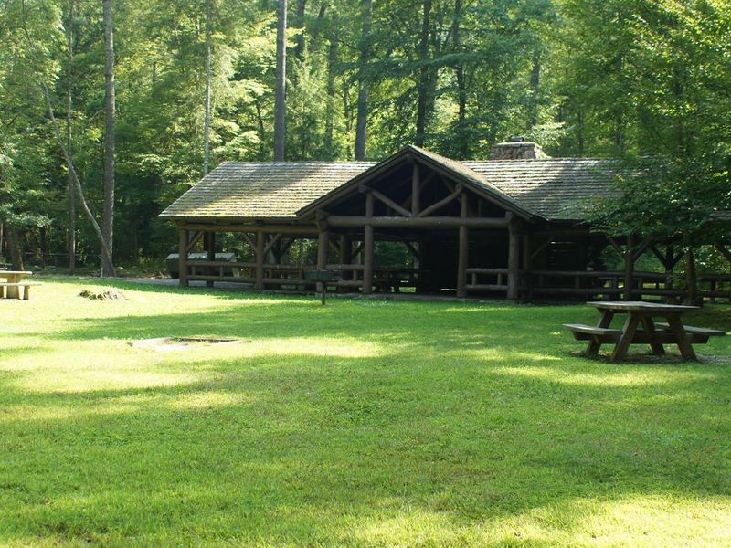
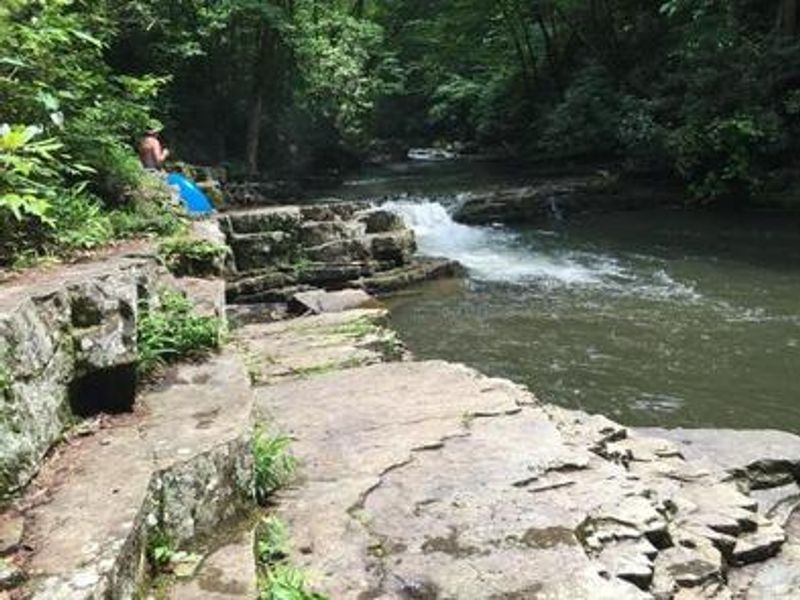
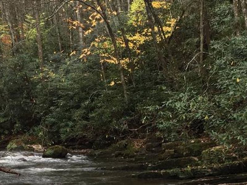
Backbone Rock Campground sits along beautiful Beaverdam Creek in the Cherokee National Forest at an elevation of 2,100 feet. The creek provides a popular swimming area during hot summer months, and Beaverdam Creek is stocked with trout for fishing. The campground's namesake, Backbone Rock, features a tunnel originally blasted through the rock ridge to accommodate a historic railway line. The campground offers 10 sites: 8 single sites ($10/night, 5 people max, 2 vehicles) and 2 double sites ($20/night, 10 people max, 4 vehicles). Each site has a fire ring, picnic table, and lantern holder. Flush toilets and potable water are available. A historic Civilian Conservation Corps-built stone pavilion with lawn is reservable for $50/day, making this an excellent option for group retreats. The Backbone Rock Trail (#53) trailhead is approximately a quarter mile south on TN Highway 133, providing a 4-mile route connecting to the Appalachian National Scenic Trail. Backbone Falls Trail (#198) is a 0.4-mile loop to the falls. Damascus, VA is roughly 5 minutes north.
Directions
Take Highway TN 133 north from Highway 91. The campground is on Highway 133, just north of Backbone Rock.
Nearby Campgrounds
Amenities
| Water | Yes |
| Fires Allowed | Yes |
| Toilets | Yes |
| Dump Station | No |
| Wifi | No |
| Pets Allowed | Yes |
| Showers | No |
| Electric Hookups | — |
| Water Hookups | — |
| Sewer Hookups | — |
| Camp Store | No |
| Price | $10 |
Vehicle
| Max RV Length | — |
| Max Trailer Length | — |
| Big Rig Friendly | — |
| Pull Through Sites | No |
Contact
| wataugarec@gmail.com | |
| Phone | +1 (423) 735-1500 |
Cell Service
| AT&T | None |
| Verizon | None |
| T-Mobile | None |
Availability
Photos
Community Posts
No posts yet. Be the first to share your experience!