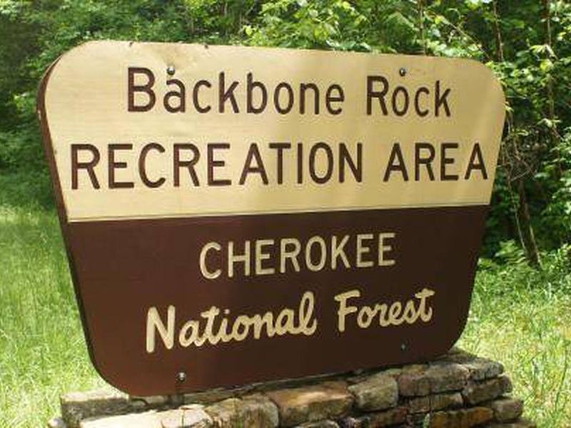
Backbone Rock Recreation Area Pavilions
Open for the season. This is a day-use pavilion facility, not an overnight campground. The vault toilets in the day-use area are open. Groups of 75 or more must contact the Watauga Ranger District for a special use permit. Bear country rules apply for food storage.
Flood Watch issued July 21 at 1:45PM EDT until July 22 at 8:00PM EDT by NWS Morristown TN
* WHAT...Flash flooding caused by excessive rainfall is possible. * WHERE...Portions of east Tennessee, including the following areas, Anderson, Blount Smoky Mountains, Campbell, Claiborne, Cocke Smoky Mountains, Grainger, Hamblen, Hancock, Hawkins, Jefferson, Johnson, Knox, Loudon, Morgan, North Sevier, Northwest Blount, Northwest Carter, Northwest Cocke, Northwest Greene, Roane, Scott TN, Sevier Smoky Mountains, Southeast Carter, Southeast Greene, Sullivan, Unicoi, Union and Washington TN and southwest Virginia, including the following areas, Lee, Russell, Scott VA, Washington VA and Wise. * WHEN...From midnight EDT tonight through Wednesday evening. * IMPACTS...Excessive runoff may result in flooding of rivers, creeks, streams, and other low-lying and flood-prone locations. * ADDITIONAL DETAILS... - Periods of showers and thunderstorms are expected tonight into Wednesday. Locations that receive multiple rounds or extended periods of locally heavy rainfall could experience flash flooding. Locations that have recently seen flooding need less rainfall to have additional flooding, and should take additional rounds of heavy rain and storms seriously. - http://www.weather.gov/safety/flood
Campsite limitations
Specific Camping prohibitions1. Camping for more than 14 days in developed and dispersed areas. Camping in anylocation is limited to 14 consecutive days. On the 14th consecutive day, the camper andparty must leave that area/campground for a minimum of seven days before returning foranother stay. If…
Peavine Sheeds Road Closure for repairs
Forest Service begins phased construction to Peavine Sheeds Road, FS 221, south of Parksville Lake in the Ocoee Ranger District. Phase 1 will disrupt access beginning July 16 from 35.0072,-84.6889 to 34.9889, -84.6339 as depicted in the graphic. Major repairs will address storm damage. Marked…
About
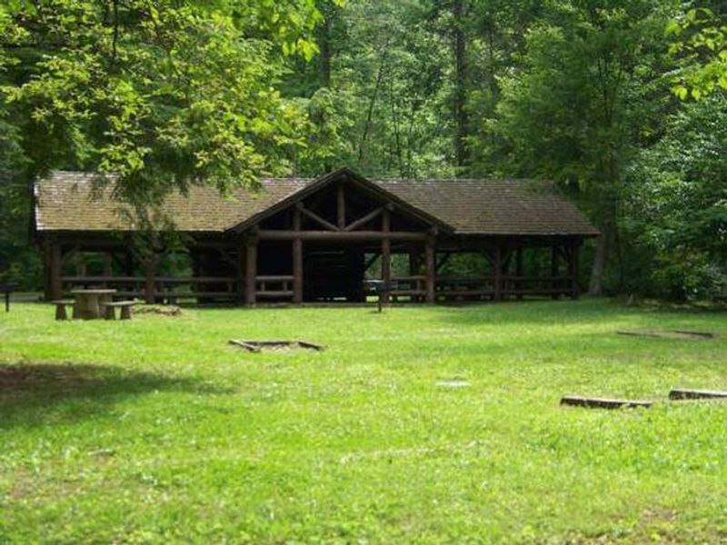
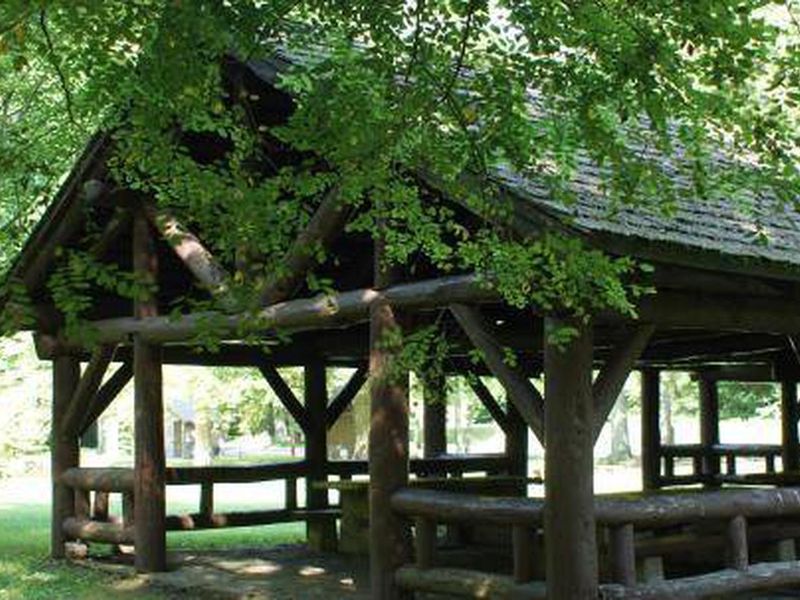
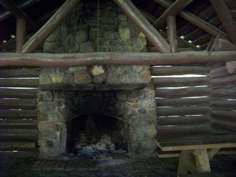
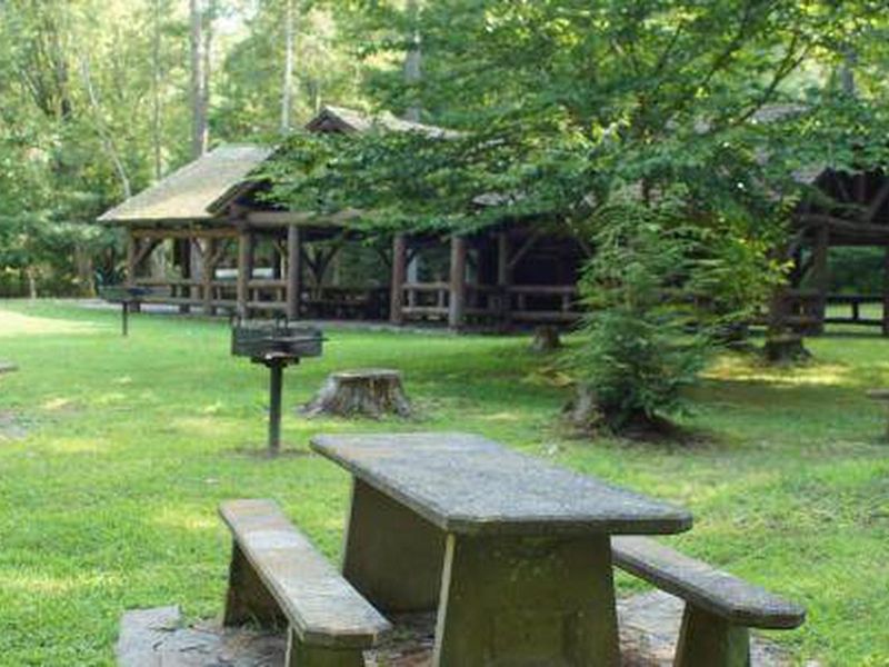
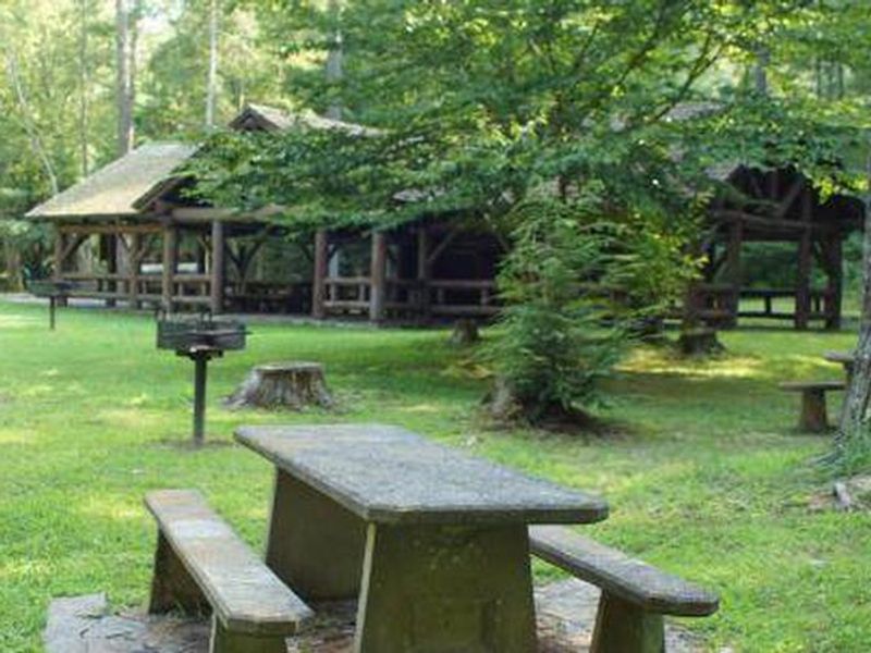
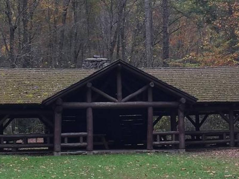
Backbone Rock Recreation Area Pavilions offers a reservable CCC-era stone pavilion for day-use group gatherings in Cherokee National Forest. Located along scenic Beaverdam Creek in northern Johnson County, Tennessee, the facility features a large covered pavilion with a stone fireplace, concrete and wooden picnic tables, accessible pedestal grills, and vault toilets. The pavilions underwent historic preservation repairs completed in September 2024 to ensure these 1930s-era structures remain safe for generations. The recreation area is named for a distinctive spur ridge on Holston Mountain that ends abruptly at a bend in Beaverdam Creek. A tunnel drilled through the rock in 1901 for railroad access is locally known as "The Shortest Tunnel in the World." Hikers can access trails leading to the top of Backbone Rock and to Backbone Rock Falls, with connections to the Appalachian National Scenic Trail. Beaverdam Creek offers excellent fishing. This is a day-use facility only; overnight camping is available at the adjacent Backbone Rock Campground. Damascus, Virginia is five miles north for any in-town needs.
Directions
From Bristol, TN take US 421 south for 20 miles to Shady Valley. Turn left onto TN 133 for 8 miles to Backbone Recreation Area. From Abingdon, VA take US 58 east for 15 miles to Damascus. Turn right onto VA 716 for 5 miles to the recreation area (VA 716 becomes TN 133 at the state line).
Nearby Campgrounds
Amenities
| Water | Yes |
| Fires Allowed | Yes |
| Toilets | Yes |
| Dump Station | No |
| Wifi | No |
| Pets Allowed | Yes |
| Showers | No |
| Electric Hookups | — |
| Water Hookups | — |
| Sewer Hookups | — |
| Camp Store | No |
| Price | $50 |
Vehicle
| Max RV Length | — |
| Max Trailer Length | — |
| Big Rig Friendly | — |
| Pull Through Sites | No |
Contact
| Phone | +1 (423) 735-1500 |
Cell Service
| AT&T | None |
| Verizon | None |
| T-Mobile | None |
Availability
Photos

Community Posts
No posts yet. Be the first to share your experience!