Crabtree Falls Campground
Closed for the entire 2026 season due to impacts from Hurricane Helene. No camping is available.
Flash Flood Warning issued September 23 at 3:05AM EDT until September 23 at 5:45AM EDT by NWS Greenville-Spartanburg SC
At 305 AM EDT, Doppler radar indicated thunderstorms producing heavy rain across the warned area. Between 2.5 and 4 inches of rain have fallen. Flash flooding is ongoing but flood waters have started to recede. HAZARD...Flash flooding caused by thunderstorms. SOURCE...Radar indicated. IMPACT...Flash flooding of small creeks and streams, urban areas, highways, streets and underpasses as well as other poor drainage and low-lying areas. Some locations that will experience flash flooding include... Lake Lure, Chimney Rock Village, Chimney Rock State Park, Bat Cave and Gerton. Rutherford County Emergency Management reports that flood waters are receding from the roadways as only very light rainfall is present. Flood stage has dropped to 6.58 feet at the Rocky Broad River near Bat Cave. Some campgrounds below Bat Cave in Rutherford County near Lake Lure may be evacuated as a precaution.
Flood Advisory issued September 23 at 1:54AM EDT until September 23 at 4:30AM EDT by NWS Greenville-Spartanburg SC
* WHAT...Flooding caused by excessive rainfall continues. * WHERE...Northwestern Burke County in western North Carolina... Northeastern McDowell County in western North Carolina... * WHEN...Until 430 AM EDT. * IMPACTS...Minor flooding in low-lying and poor drainage areas. * ADDITIONAL DETAILS... - At 153 AM EDT, Doppler radar indicated heavy rain due to thunderstorms. Minor flooding is ongoing or expected to begin shortly in the advisory area. Between 2 and 3.5 inches of rain have fallen. - McDowell County Emergency Manager reports high water along Martin Branch and Peppers Creek in northern McDowell County. - Some locations that will experience flooding include... Linville Falls, B.R. Parkway-Little Switzerland To Linville, B.R. Parkway-Linville Falls To Grandfather, Ashford, Jonas Ridge and North Cove. - http://www.weather.gov/safety/flood
Flood Advisory issued September 23 at 12:13AM EDT until September 23 at 4:15AM EDT by NWS Greenville-Spartanburg SC
* WHAT...Flooding caused by excessive rainfall is expected. * WHERE...East Central Buncombe County in western North Carolina... West Central McDowell County in western North Carolina... Southeastern Yancey County in western North Carolina... * WHEN...Until 415 AM EDT. * IMPACTS...Minor flooding in low-lying and poor drainage areas. * ADDITIONAL DETAILS... - At 1211 AM EDT, Doppler radar indicated heavy rain due to thunderstorms. Minor flooding is ongoing or expected to begin shortly in the advisory area. Between 1 and 2.5 inches of rain have fallen. - Some locations that will experience flooding include... B.R. Parkway-Craggy To Little Switzerland, Mount Mitchell State Park, B.R. Parkway-Little Switzerland To Linville, Montreat, Busick, Little Switzerland and Woodlawn. - http://www.weather.gov/safety/flood
About
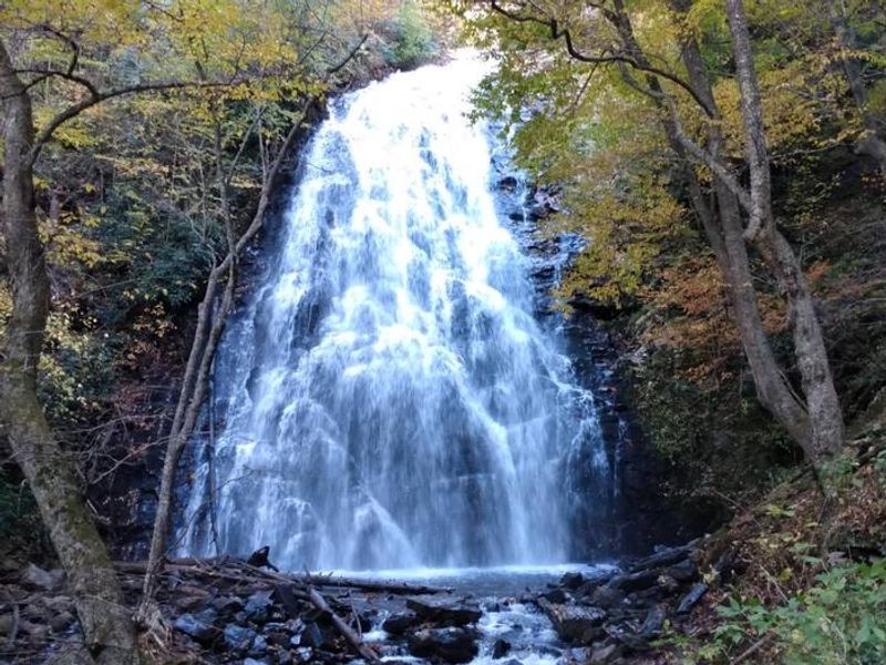
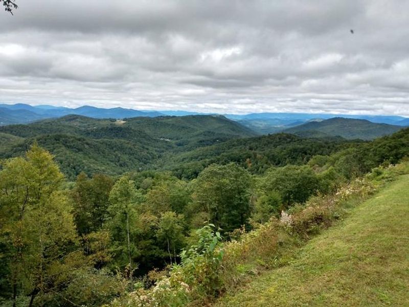
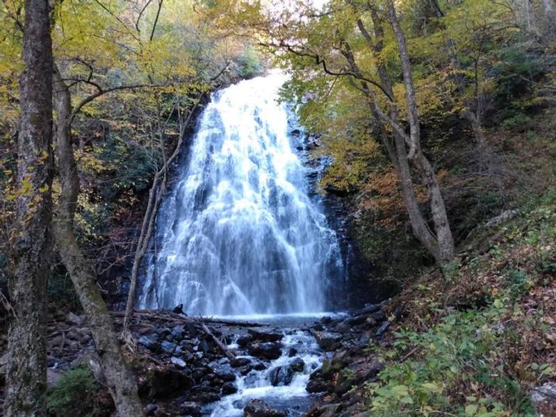
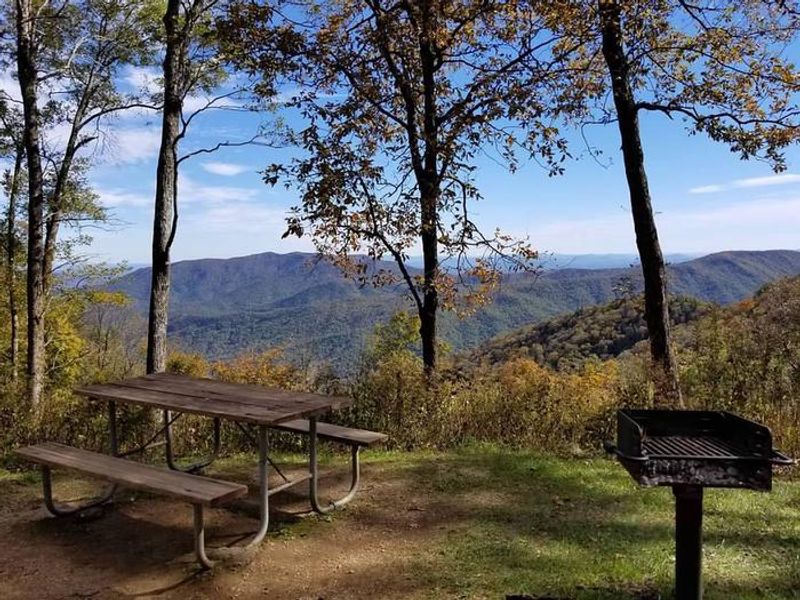
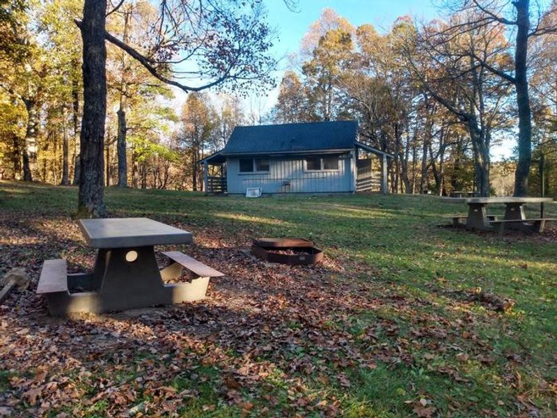
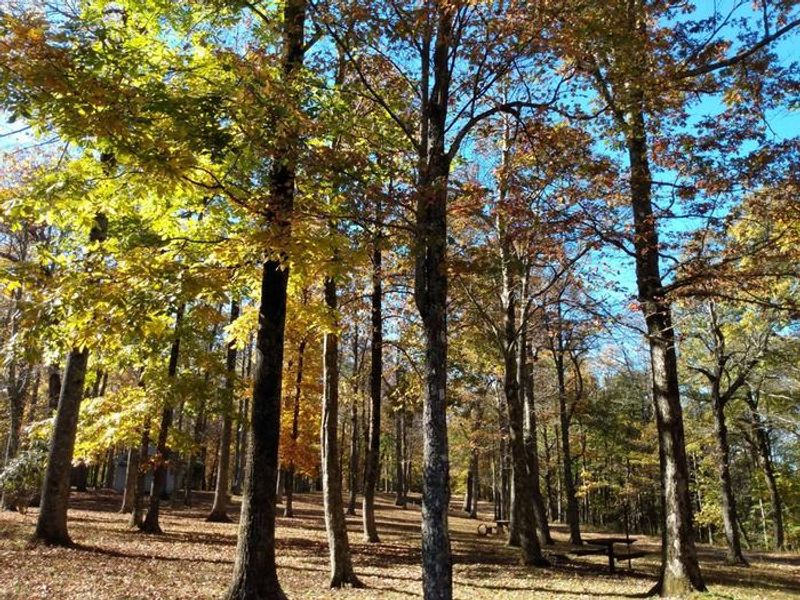
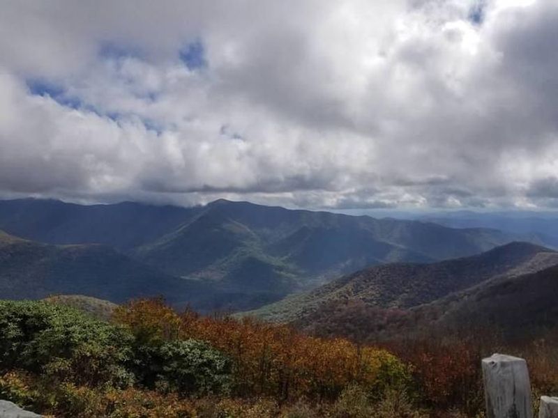
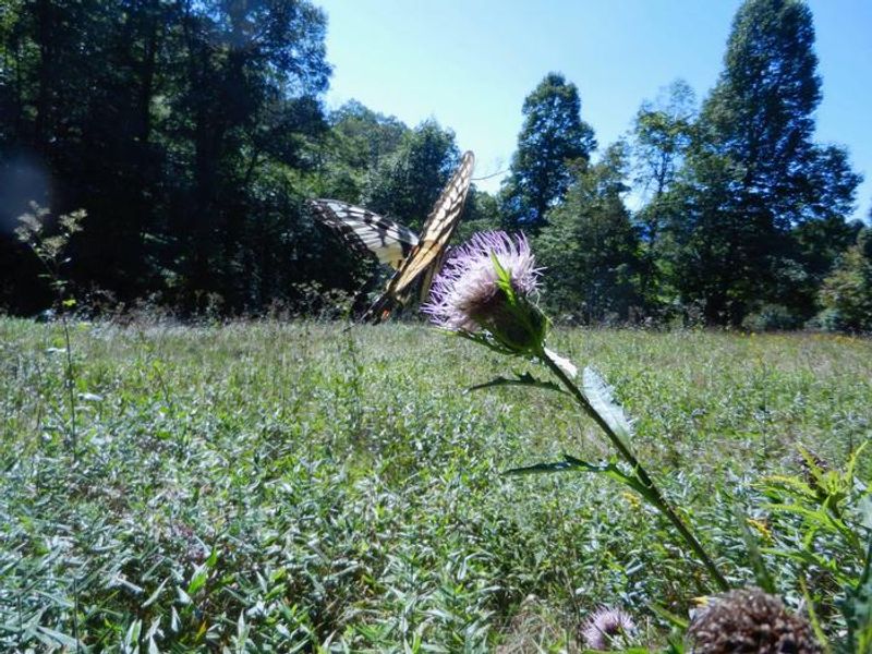
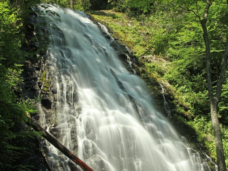
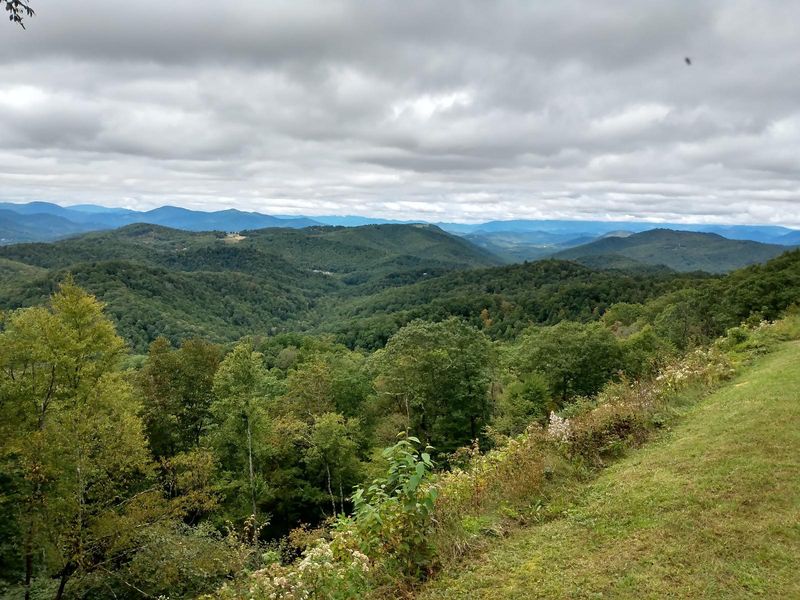
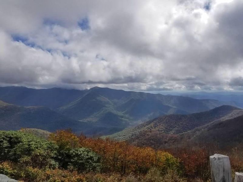
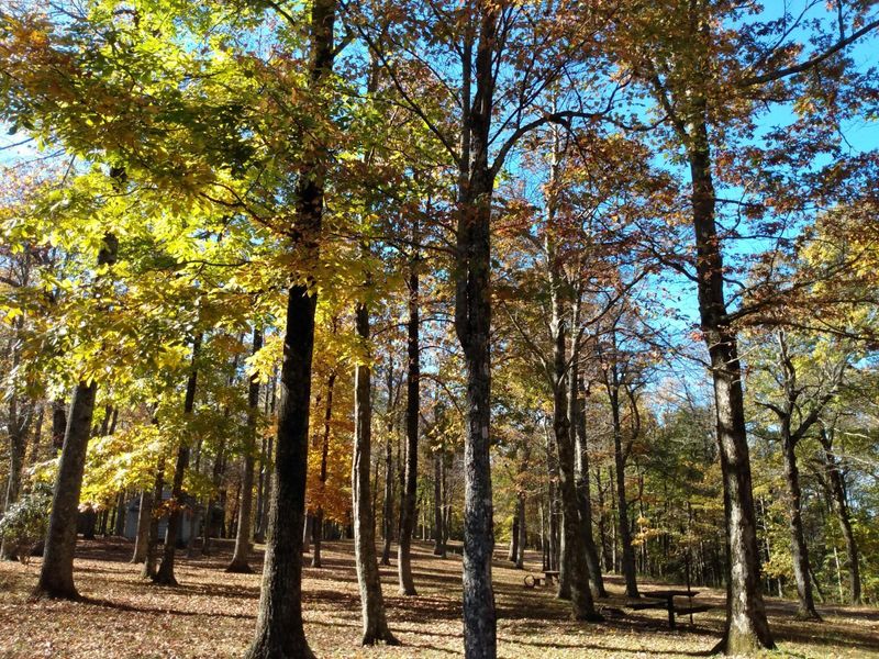
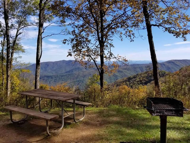
Named for the crabapple trees that once dotted the landscape with pink blossoms, Crabtree Falls Campground occupies a 253-acre recreation area along the Blue Ridge Parkway at Milepost 339.5. The campground blends open meadows with towering oak, birch, and hickory forests, punctuated by rhododendron thickets that burst with wildflowers in spring. Wildlife is abundant here; deer, coyote, and barred owls frequent the area, especially when mist settles in. The main draw is Crabtree Falls, a 70-foot waterfall accessible via a 3-mile loop trail rated moderate to strenuous. The path features towering trees, wildflowers, and many stairs. Mount Mitchell State Park, the highest peak east of the Mississippi, lies just 15 miles south, while the restored Green Knob Lookout Tower offers panoramic views 10 miles away. The campground has 81 sites total: 27 reservable through Recreation.gov and 54 first-come, first-served. Amenities include flush toilets, potable water, a dump station, picnic tables, fire rings, food storage lockers, and firewood for sale. There are no showers or hookups. Four sites are ADA accessible with accessible restrooms.
Directions
From Asheville, take the Blue Ridge Parkway north about 40 miles to Milepost 339.5.
Nearby Campgrounds
Amenities
| Water | Yes |
| Fires Allowed | Yes |
| Toilets | Yes |
| Dump Station | Yes |
| Wifi | No |
| Pets Allowed | Yes |
| Showers | No |
| Electric Hookups | — |
| Water Hookups | — |
| Sewer Hookups | — |
| Camp Store | No |
| Price | $30 |
Vehicle
| Max RV Length | 55ft |
| Max Trailer Length | — |
| Big Rig Friendly | — |
| Pull Through Sites | No |
Contact
| Phone | +1 (828) 675-5444 |
Cell Service
| AT&T | None |
| Verizon | None |
| T-Mobile | None |
Availability
Photos
Community Posts
No posts yet. Be the first to share your experience!