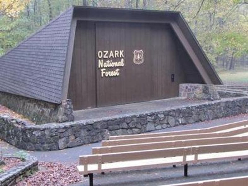
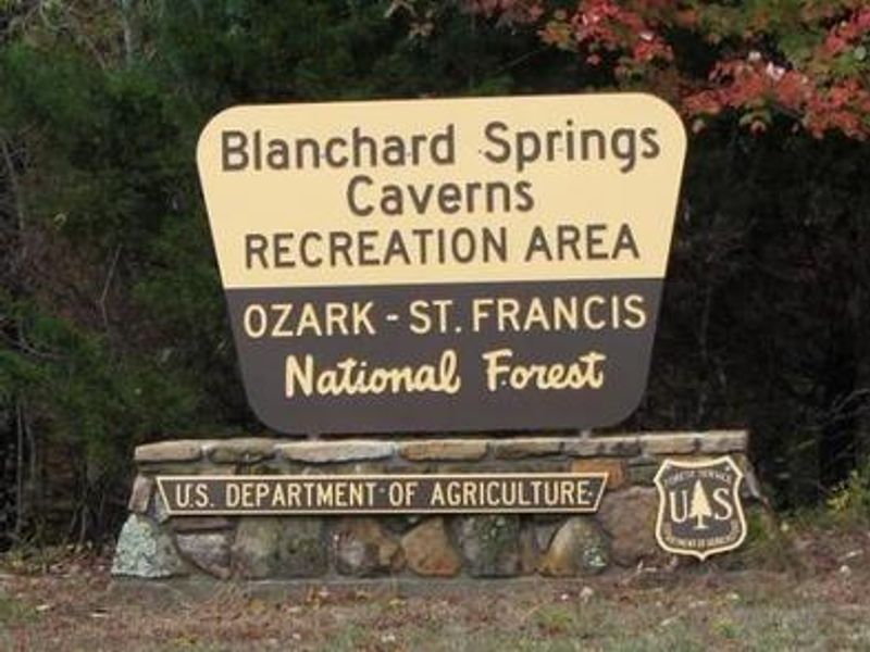
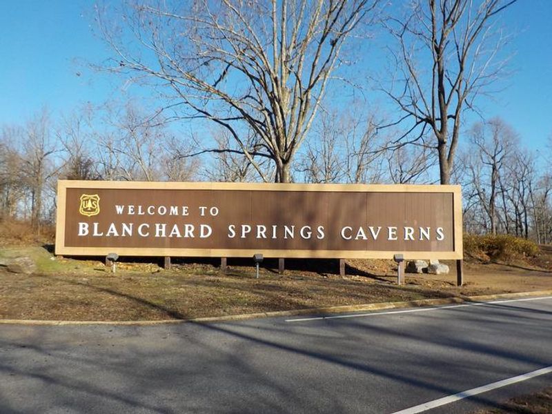
Blanchard Springs Recreation Area
Temporarily closed as of May 19, 2026 due to flood stage water levels at the creek crossing. Day-use area, group campsites, and caverns remain accessible. The campground season typically runs May 1 through late fall. Individual sites are first-come, first-served; group sites are reservable via Recreation.gov.
About
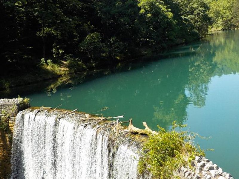
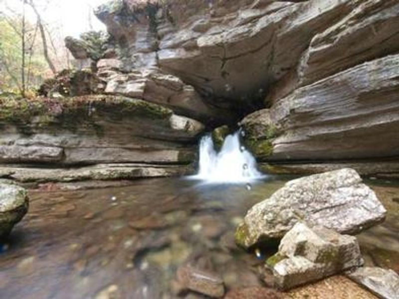
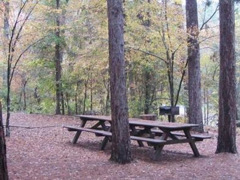
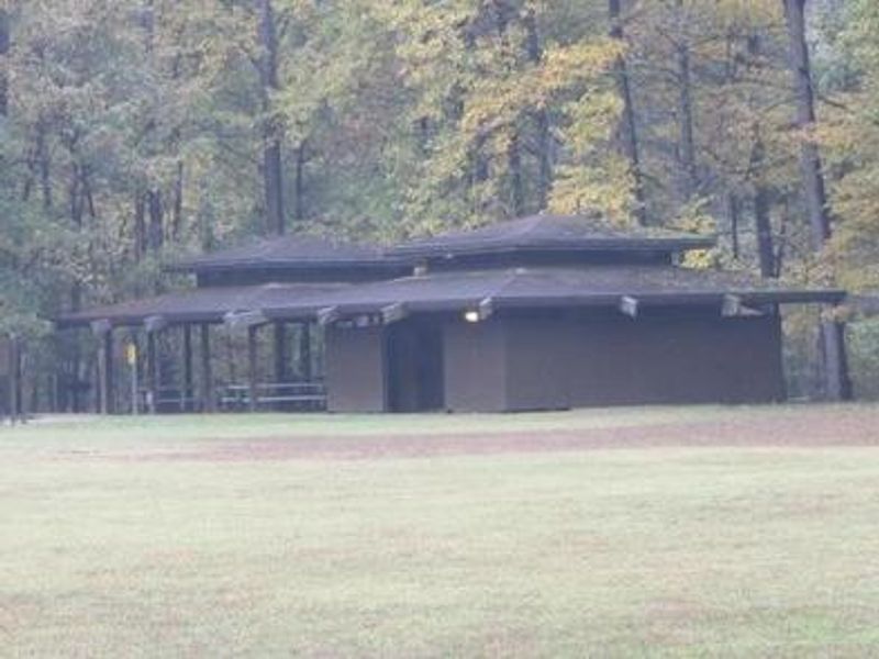
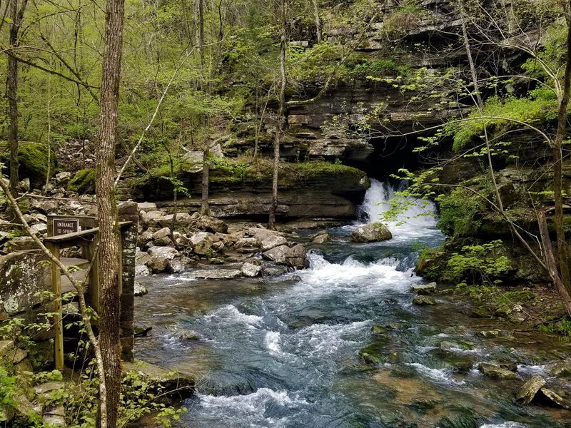
Blanchard Springs Recreation Area sits in the heart of the Ozark Mountains within the Ozark-St. Francis National Forest. The campground features 17 individual sites and 2 group sites (one accommodating 8-50 people, the other 8-30) nestled among stately yellow pines with views of picturesque rock bluffs and clear-flowing streams. All sites include picnic tables, grills, and campfire rings. The facility provides flush toilets, drinking water, and a dump station, making it suitable for tent camping and smaller RVs, though no electrical hookups are available. The recreation area serves as an excellent base for exploring the surrounding Ozark landscape. Mirror Lake offers accessible rainbow trout fishing, while North Sylamore Creek provides swimming opportunities. Hikers can access the 25-mile North Sylamore Trail, which connects to the Ozark Highlands Trail. Mountain bikers have 50 miles of the Syllamo Mountain Bike Trail system nearby. Blanchard Springs Caverns, adjacent to the campground, offers three tour options including the paved Dripstone Trail, the more adventurous Wild Cave Tour, and the family-friendly Discovery Trail. The visitor center provides exhibits and interpretive programs about the cave system and local ecology.
Directions
From Mountain View, take Highway 5-9-14 north for 5 miles to Allison. At Allison, take Highway 14 west for 8 miles toward the town of Fifty Six. Turn right at the Blanchard Springs Recreation Area sign. GPS directions have led visitors off-course; bring a map.
Amenities
| Water | Yes |
| Fires Allowed | Yes |
| Toilets | Yes |
| Dump Station | Yes |
| Wifi | No |
| Pets Allowed | — |
| Showers | No |
| Electric Hookups | — |
| Water Hookups | — |
| Sewer Hookups | — |
| Camp Store | No |
| Price | $15 - $60 |
Vehicle
| Max RV Length | — |
| Max Trailer Length | 25ft |
| Big Rig Friendly | No |
| Pull Through Sites | No |
Contact
| Phone | +1 (870) 757-2211 |
Cell Service
| AT&T | None |
| Verizon | Yes |
| T-Mobile | None |
Availability
Photos
Community Posts
No posts yet. Be the first to share your experience!