Sutton Lake Picnic Shelters
The picnic shelters are available for reservation via Recreation.gov or on a first-come, first-served basis. This is a day-use facility only; overnight camping is not permitted at the shelters. Nearby campgrounds offer overnight options.
Flood Warning issued September 23 at 8:02PM EDT until September 24 at 1:15AM EDT by NWS Charleston WV
* WHAT...Flooding caused by excessive rainfall is expected. * WHERE...Southeastern Roane County in central West Virginia... West Central Braxton County in north central West Virginia... Southeastern Calhoun County in north central West Virginia... North Central Clay County in north central West Virginia... Southwestern Gilmer County in north central West Virginia... * WHEN...Until 115 AM EDT. * IMPACTS...Flooding of rivers, creeks, streams, and other low-lying and flood-prone locations is imminent or occurring. Low-water crossings are inundated with water and may not be passable. * ADDITIONAL DETAILS... - At 801 PM EDT, local law enforcement reported flooded roadways due to heavy rainfall from thunderstorms earlier this evening. Flooding is ongoing. Between 2 and 3 inches of rain have fallen. - Some locations that will experience flooding include... Big Otter, Arnoldsburg, Nicut, Chloe, Orma, Nebo, Shock, Rosedale, Millstone, Servia, and Tariff. - This includes Interstate 79 between mile markers 36 and 45. - http://www.weather.gov/safety/flood
About
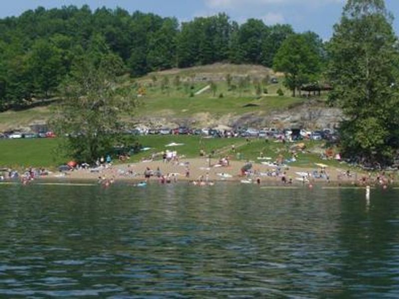
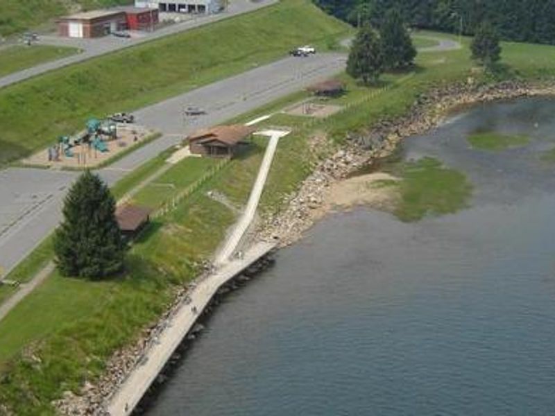
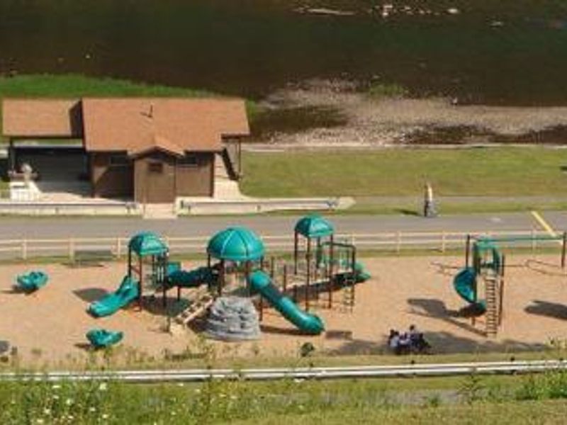
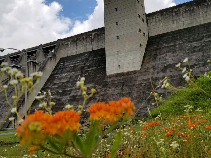
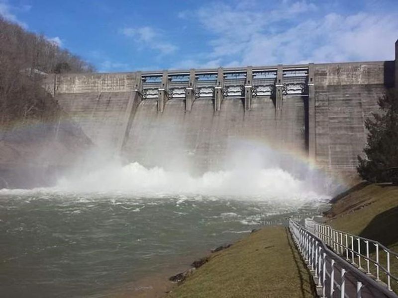
Sutton Lake Picnic Shelters are day-use facilities managed by the U.S. Army Corps of Engineers, located approximately 70 miles north of Charleston and 60 miles south of Clarksburg in central West Virginia. The five shelters are split between two locations: the Downstream Area (Shelters 1, 2, and 3) overlooks the Elk River below Sutton Dam, while the Bee Run Day Use Area (Shelters 4 and 5) offers views of Sutton Lake itself. Each shelter accommodates groups with six to eight picnic tables and a large charcoal grill, with water and electric hookups available at Shelters 1-4. The Downstream Area features a playground, fishing pier, small boat access, horseshoe pits, and cornhole. The Bee Run Area includes a large beach, playground, and proximity to Sutton Lake Marina. Both areas have flush toilets. These are day-use facilities, not campgrounds. Overnight camping is available at nearby Gerald Freeman, Bakers Run, and Bee Run Campgrounds. Alcohol is prohibited at Sutton Lake. Shelter 1 and Shelter 4 are ADA accessible, though Shelter 4 does not have direct ADA access to restroom facilities.
Directions
Shelters 1, 2, and 3 are at Sutton Dam. From I-79, take Exit 62 toward Sutton/Gassaway. Turn left on SR-4 approximately 2 miles into Sutton. Turn right at the stop sign, cross the Elk River, and turn left to the dam. Shelters 4 and 5 are at Bee Run Day Use Area. From I-79, take Exit 67 toward Flatwoods. Turn right on SR-4, go 1 mile to SR-15 and turn left. Continue a mile to Bee Run Day Use Area and turn right. GPS directions may not be accurate.
Amenities
| Water | Yes |
| Fires Allowed | Yes |
| Toilets | Yes |
| Dump Station | No |
| Wifi | — |
| Pets Allowed | — |
| Showers | No |
| Electric Hookups | Yes |
| Water Hookups | Yes |
| Sewer Hookups | No |
| Camp Store | No |
| Price | $60 |
Vehicle
| Max RV Length | — |
| Max Trailer Length | — |
| Big Rig Friendly | — |
| Pull Through Sites | No |
Contact
| suttonlake@usace.army.mil | |
| Phone | +1 (304) 765-2816 |
Cell Service
| AT&T | Yes |
| Verizon | Yes |
| T-Mobile | None |
Availability
Photos

Community Posts
No posts yet. Be the first to share your experience!