Jackson Flats
Currently closed for the season. The campground typically opens in late April or early May and operates through early fall. Reservations are required and managed by Mountain High Resort.
Heat Advisory issued August 2 at 8:28PM PDT until August 5 at 8:00PM PDT by NWS Los Angeles/Oxnard CA
* WHAT...Temperatures of 95 to 105 degrees expected. * WHERE...Eastern San Gabriel Mountains, Interstate 5 Corridor, San Luis Obispo County Interior Valleys, San Luis Obispo County Mountains, Santa Barbara County Interior Mountains, Santa Susana Mountains, Southern Ventura County Mountains, and Western San Gabriel Mountains and Highway 14 Corridor. * WHEN...From 10 AM Monday to 8 PM PDT Wednesday. * IMPACTS...Hot temperatures may cause heat illnesses.
National Forest System Roads
Follow California Vehicle Code on National Forest System Roads
Fireworks and Explosives are always Prohibited
Fireworks and explosives (including explosive targets) are always prohibited on national forest lands. The prohibition of fireworks and exploding targets on national forest system lands is part of a set of permanent fire safety regulations in the Code of Federal Regulations (CFR), listed below.…
About
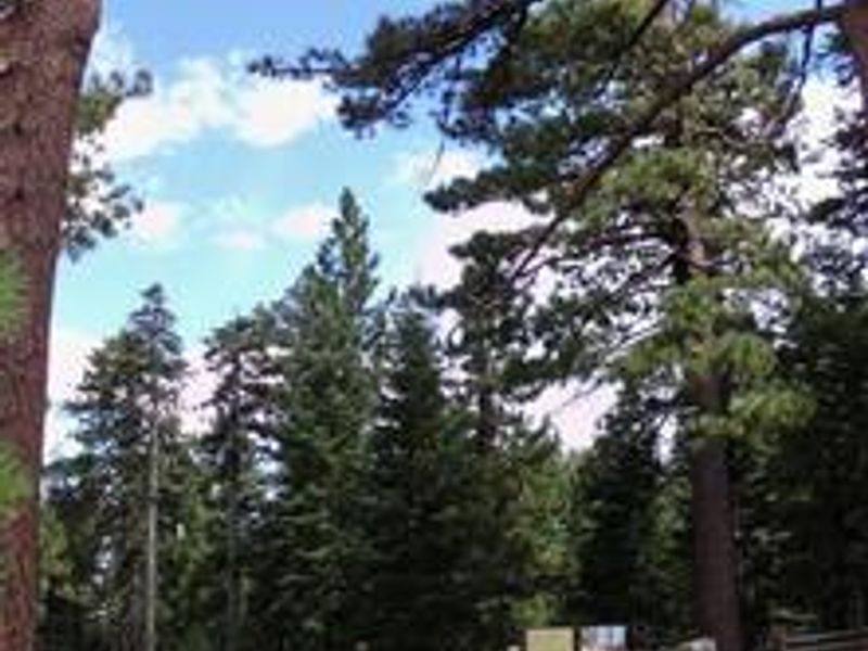
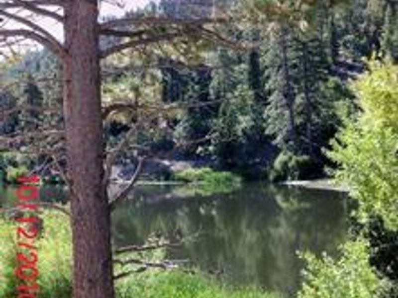
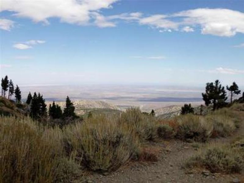
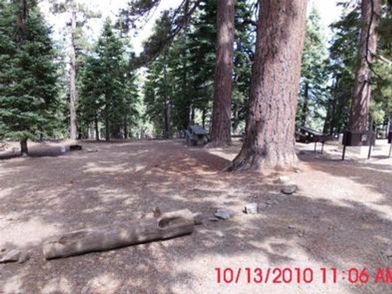
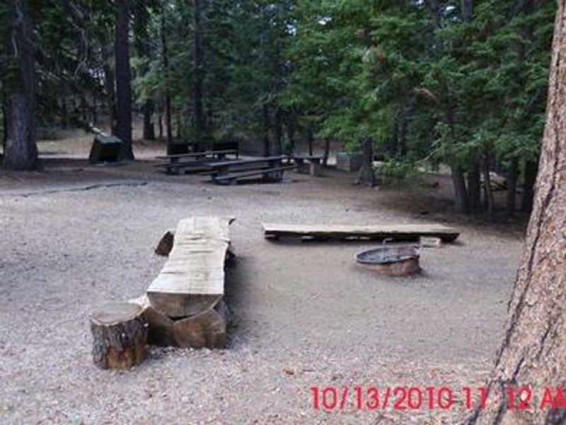
Jackson Flats is a group tent camping facility nestled at 7,500 feet in the San Gabriel Mountains, adjacent to Grassy Hollow Visitor Center. The campground features five walk-in tent sites spread among pine and fir groves, with Sites 1-3 accommodating up to 40 people and Sites 4-5 holding 30 people, for a total capacity of 180 campers. Each group site includes long picnic tables, a food preparation table, bear-proof food storage lockers, a large BBQ grill, and a group fire ring. Three restroom buildings with flush toilets are distributed throughout the campground. Potable water spigots are available at each group area. Two large gathering areas with central fire pits provide communal space. The campground connects to the Pacific Crest Trail via a short spur and offers access to the Jackson Flat Geological Trail and Interpretive Trail. The nearby Grassy Hollow Visitor Center hosts nature programs and guided hikes on summer Saturdays. This is a walk-in tent-only facility with severely limited parking; vehicles may only enter sites to load and unload gear.
Directions
From Wrightwood, turn left onto CA-2 W/Angeles Crest Highway and go 6.1 miles. Look for signs and turn right. Drive 1.2 miles past Grassy Hollow Visitor Center and into the campground.
Location
Amenities
| Water | Yes |
| Fires Allowed | Yes |
| Toilets | Yes |
| Dump Station | No |
| Wifi | No |
| Pets Allowed | — |
| Showers | No |
| Electric Hookups | — |
| Water Hookups | — |
| Sewer Hookups | — |
| Camp Store | No |
| Price | $180 |
Vehicle
| Max RV Length | — |
| Max Trailer Length | — |
| Big Rig Friendly | No |
| Pull Through Sites | No |
Contact
| campgrounds@mthigh.com | |
| Phone | +1 (760) 316-7828 |
Cell Service
| AT&T | None |
| Verizon | Yes |
| T-Mobile | None |
Availability
Photos

Community Posts
No posts yet. Be the first to share your experience!