West Fork Campground
Open for the 2026 season. The campground operates mid-May through September. Note: October 2025 flooding repositioned the river away from sites that were previously alongside it. 15 sites are reservable via Recreation.gov; 13 sites are first-come-first-serve.
Wheeled Vehicles in Wilderness
This order describes the prohibition of wheeled vehicles in all National Forest Wilderness Areas of the Rocky Mountain Region and any exceptions thereof.
Weed Free Forage Products
The purpose of this Order is to prevent the introduction or spread of noxious weeds.
Cave Closure and Restrictions
The purpose of this Order is to reduce the spread of the fungus that causes White nose syndrome and to protect bat species during critical biological periods.
About
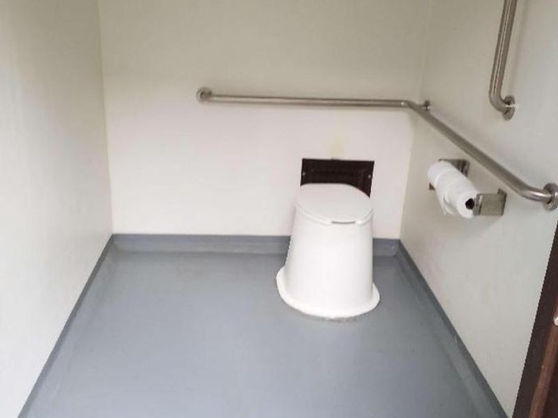
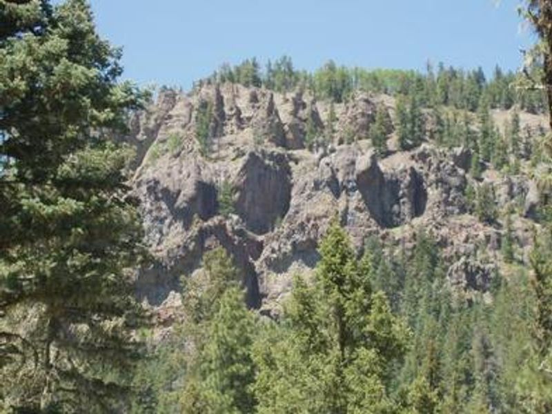
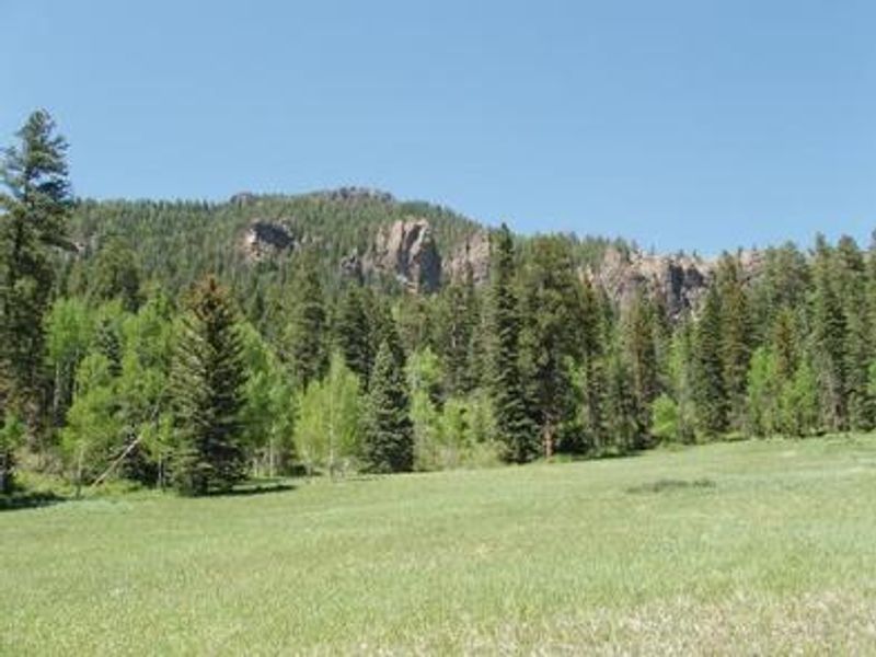
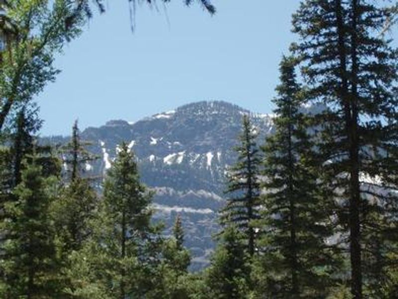
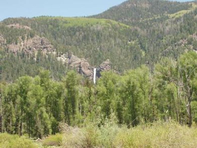
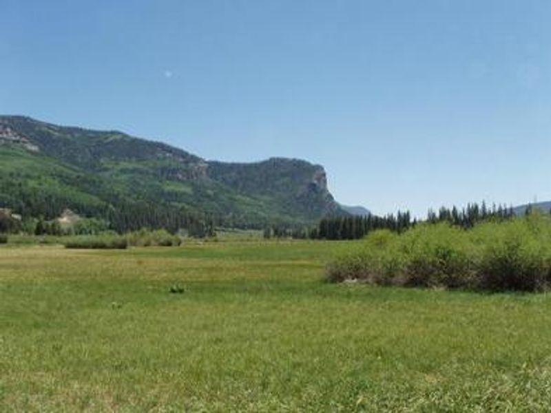
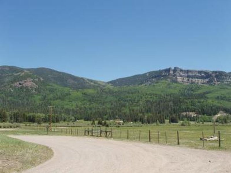
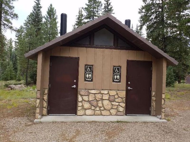
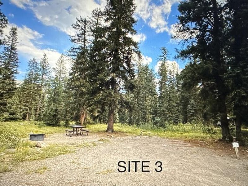
West Fork Campground is situated in San Juan National Forest between Wolf Creek Pass and Pagosa Springs, Colorado. The secluded 10-acre campground features 28 sites nestled among mixed conifers, offering both sun and shade. While the West Fork San Juan River can be heard from the campground, note that October 2025 flooding repositioned the river away from sites that were previously alongside it. The campground serves as an excellent basecamp for exploring the Weminuche Wilderness. The West Fork Trail (also known as the Rainbow Trail) begins about a mile beyond the campground and leads into the wilderness. Trailheads for Windy Pass and Treasure Mountain Trails are located across Highway 160 from the West Fork Road turnoff. Treasure Falls, an impressive 100-foot waterfall with a short hike to its base, is located about three miles from the campground. Fishing opportunities exist on the West Fork and nearby Wolf Creek, though these are heavily fished streams requiring skill and patience. The campground provides vault toilets, potable water, picnic tables, and fire grates at each site. Quiet hours are observed from 10pm to 6am, and generator use should be limited to one hour at a time.
Directions
From Pagosa Springs, CO: Travel east on U.S. Highway 160 for 13.5 miles, then turn northwest on Forest Road 648 for 1.5 miles to the campground entrance.
Amenities
| Water | Yes |
| Fires Allowed | Yes |
| Toilets | Yes |
| Dump Station | No |
| Wifi | No |
| Pets Allowed | Yes |
| Showers | No |
| Electric Hookups | — |
| Water Hookups | — |
| Sewer Hookups | — |
| Camp Store | No |
| Price | $32 |
Vehicle
| Max RV Length | 45ft |
| Max Trailer Length | 45ft |
| Big Rig Friendly | No |
| Pull Through Sites | No |
Contact
| SM.FS.PagosaRD@usda.gov | |
| Phone | +1 (970) 264-2268 |
Cell Service
| AT&T | None |
| Verizon | None |
| T-Mobile | None |
Availability
Photos
Community Posts
No posts yet. Be the first to share your experience!