Open
Open year-round. Vehicle access (4WD/AWD required) is available mid-April through mid-November. From mid-November through mid-April, the last 1.5 miles of road are closed and the lookout is only accessible by hiking, skiing, snowshoeing, or snowmobiling. Reservations required via Recreation.gov with a minimum 2-night stay on weekends.
About
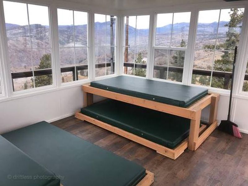
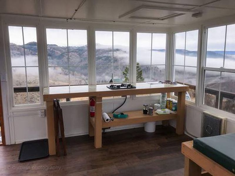
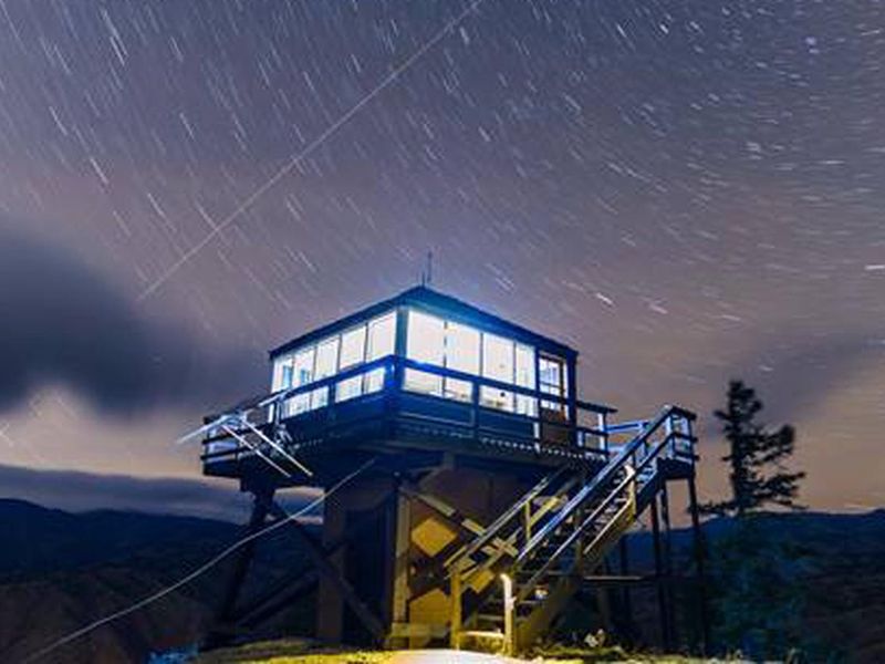
The Steliko Lookout is a historic fire lookout built in 1947 and used by Forest Service personnel until the 1990s. Today it serves as a unique overnight rental managed by nonprofits TREAD and Discover Entiat. The 16x16 cabin sits at an elevation of 2,586 feet and sleeps four on single foam mattresses (two regular frames, two trundle-style). The cabin includes two foldable tables, a bench, a two-burner propane stove, a wall-mounted propane heater, a backup Little Buddy heater, and solar-powered LED lights with USB charging.
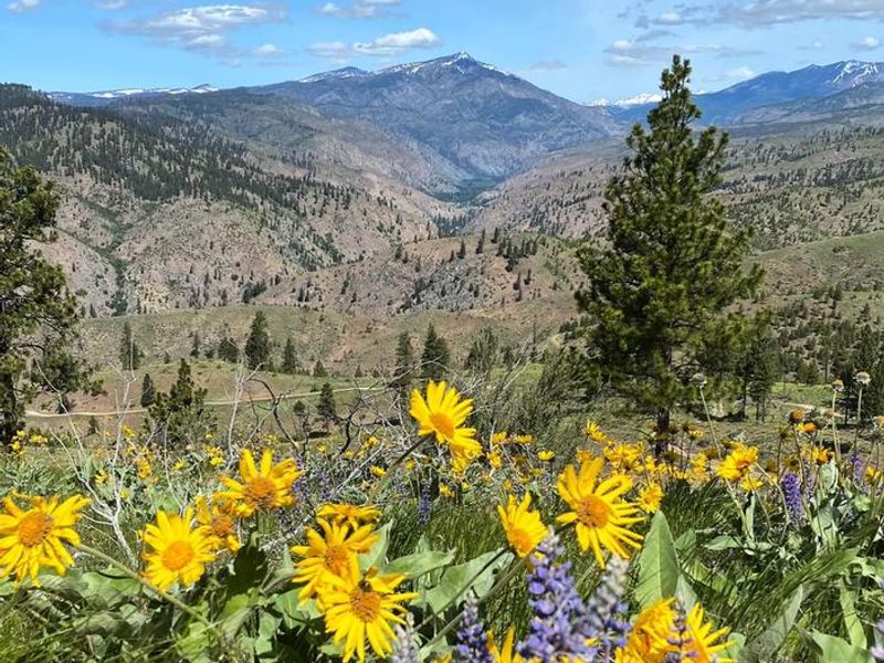
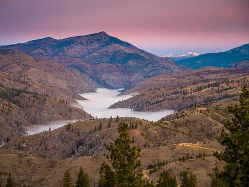
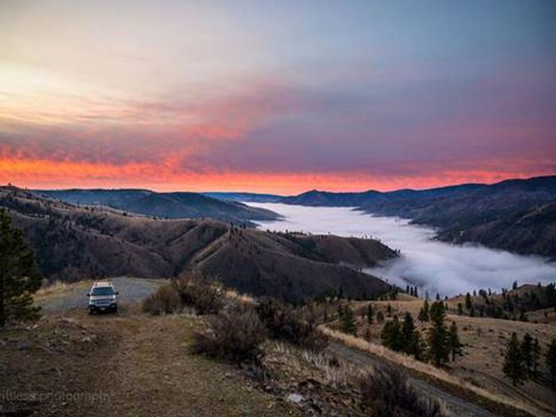
Views from the lookout include Tyee Mountain, Stormy Mountain, and the Waterville Plateau to the east. The surrounding open hillsides bloom with balsamroot and lupine in spring, and mule deer frequent the area. The Steliko Ridge trail begins adjacent to the lookout and extends approximately four miles along the ridge to the north, open to hiking, mountain biking, horseback riding, and dirt bikes.
Guests must bring all water for drinking, cooking, and washing, as well as bedding, cookware, and trash bags. The facility is pack-in/pack-out. No campfires, pets, or tent/trailer/RV camping are permitted at the site. Access requires a 30-foot walk from the parking area to the cabin.
Directions
From Entiat, WA, travel 10.3 miles west on the Entiat River Road (County Road 19). Turn right on NF Road 5310, drive past the Forest Service buildings and continue up the road (4WD required) for 1.5 miles. Stay straight on 5310-110 at the 5310/5310-110 junction. Follow 5310-110 to the lookout.