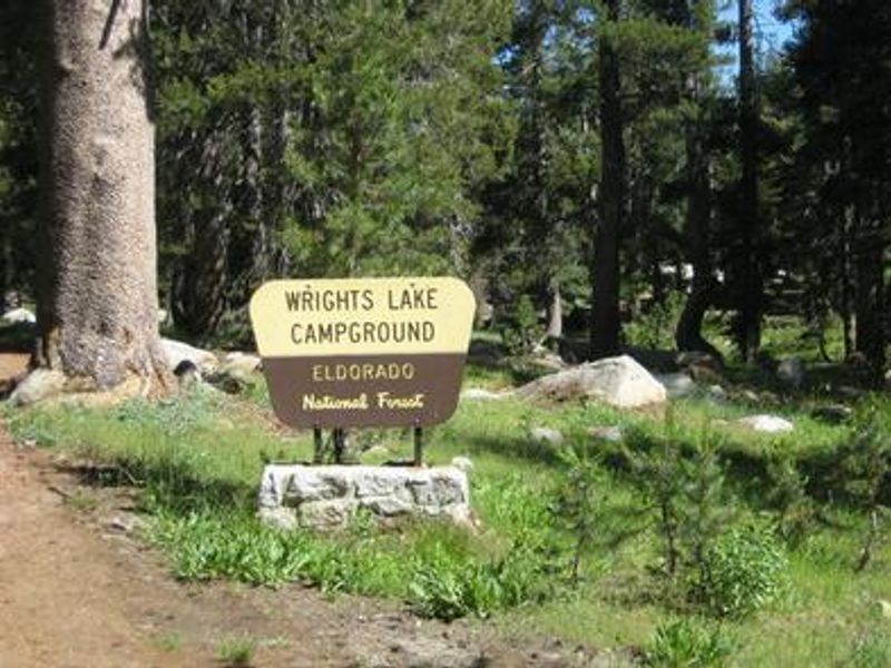
Wrights Lake
Closed until July 31, 2026 due to the Wrights Lake Recreation Improvement Project. The campground may open earlier to first-come-first-served camping if construction projects finish ahead of schedule. After July 31, certain campsites may experience temporary closures as renovation work continues. Heavy equipment will be present in the area.
From Recreation.gov
***Notice***- Wrights Lake Recreation Area will be undergoing some exciting renovations in 2026. While we do not have a full scope of work and timing to share yet, we want to inform the public that there may be some disruptions to their stay come the 2026 season. More details to follow.
From Recreation.gov
Due to the Wrights Lake Recreation Improvement Project, Wrights Lake Campground will be **closed until July 31**, but may open up to first come first serve if certain projects are finished early. After that, certain campsites may experience temporary closures. Please use caution while traveling through the Wrights Lake area as construction operations and heavy equipment will be present. Trailheads and day use will still be accessible once conditions allow but may have temporary closures during this time.
National Forest System Roads
Follow California Vehicle Code on National Forest System Roads
About
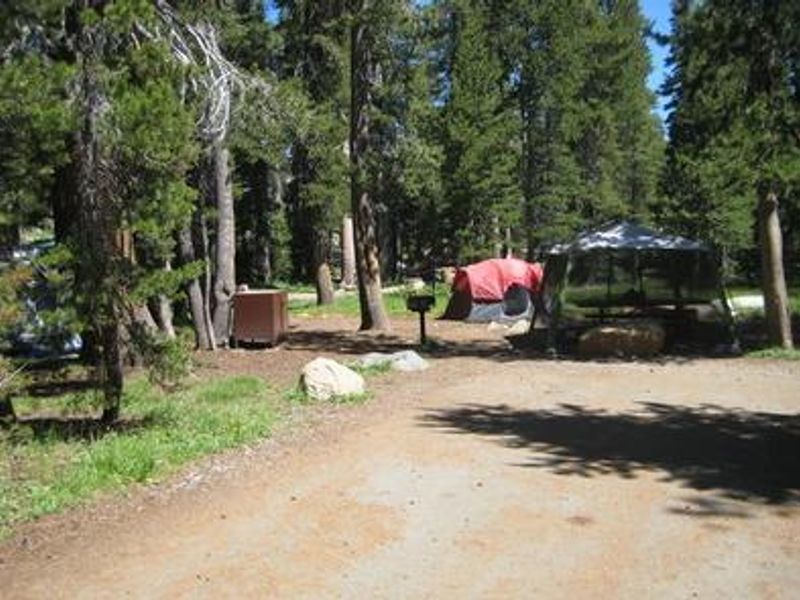
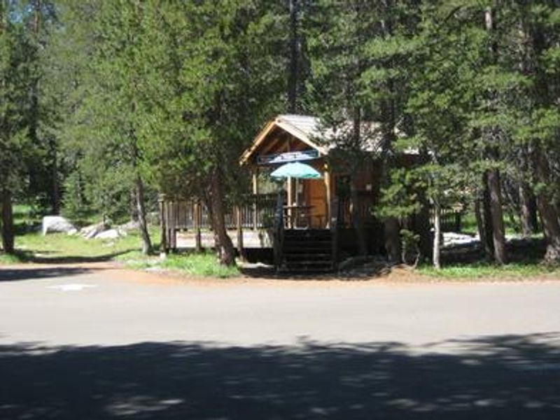
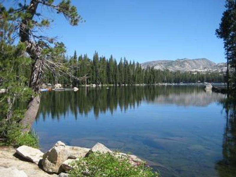
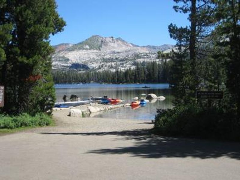
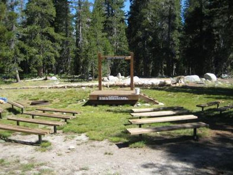
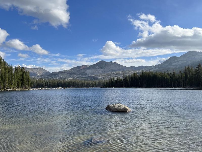
Wrights Lake Campground is a high-elevation destination in Eldorado National Forest, positioned at nearly 7,000 feet in the Sierra Nevada timber belt. The campground provides immediate access to Wrights Lake, a serene 40-acre body of water where motorboats are prohibited, making it ideal for peaceful fishing, swimming, and paddle sports. Sites are set among pine and fir trees with some nestled against giant granite boulders for natural privacy. The location serves as a primary gateway to Desolation Wilderness, with multiple trailheads nearby including Bloodsucker, Rockbound, and Twin Lakes trails. Day-use wilderness permits are self-issued at trailheads; overnight permits require a stop at Pacific Ranger Station. Beyond hiking, visitors enjoy mountain biking on Barrett Lake Jeep Trail and seasonal educational programs at the campground amphitheater. Each of the 67 standard sites includes a picnic table and fire ring with grill. The campground has vault toilets and potable water from faucets. There are no hookups or showers. A separate 15-site equestrian campground is also in the Wrights Lake area. Reservations are handled through Recreation.gov, though some first-come-first-served sites are available.
Directions
From Placerville, take Highway 50 east for approximately 23 miles. Turn left (north) onto Ice House Road (Forest Road 3) and continue for 11 miles. Turn right onto Wrights Lake Tie Road (Forest Road 32) and drive 9 miles. Turn left onto Wrights Lake Road (Forest Road 4) and continue 2 miles to the campground.
Amenities
| Water | Yes |
| Fires Allowed | Yes |
| Toilets | Yes |
| Dump Station | No |
| Wifi | — |
| Pets Allowed | Yes |
| Showers | No |
| Electric Hookups | — |
| Water Hookups | — |
| Sewer Hookups | — |
| Camp Store | — |
| Price | $36 - $72 |
Vehicle
| Max RV Length | 99ft |
| Max Trailer Length | 99ft |
| Big Rig Friendly | — |
| Pull Through Sites | No |
Contact
| info@royalelkparkmanagement.com | |
| Phone | +1 (530) 644-2324 |
Cell Service
| AT&T | None |
| Verizon | None |
| T-Mobile | None |
Availability
Photos
Community Posts
No posts yet. Be the first to share your experience!