West Point Campground
The campground operates seasonally from June through October. Reservations are available through Recreation.gov starting 6 months in advance. Some sites are first-come, first-served. Maximum stay is 14 days per year within the district.
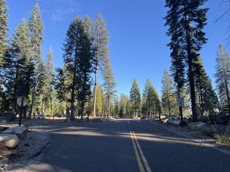
National Forest System Roads
Follow California Vehicle Code on National Forest System Roads
Fireworks and Explosives are always Prohibited
Fireworks and explosives (including explosive targets) are always prohibited on national forest lands. The prohibition of fireworks and exploding targets on national forest system lands is part of a set of permanent fire safety regulations in the Code of Federal Regulations (CFR), listed below.…
Fire Restrictions are in Effect Forest Wide
Fire Restrictions are in effect forest wide. No campfires except in existing stoves, charcoal grills, or fire rings provided in the Recreation Sites listed in Exhibit A in the Forest Order and actively serviced by a camp host.No charcoal firesCamp stoves, lanterns and propane fire rings are…
About
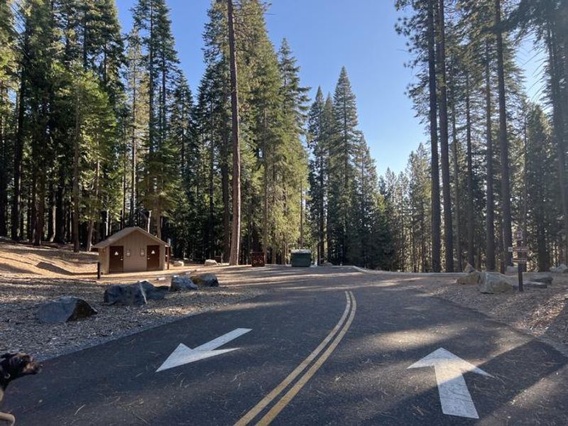
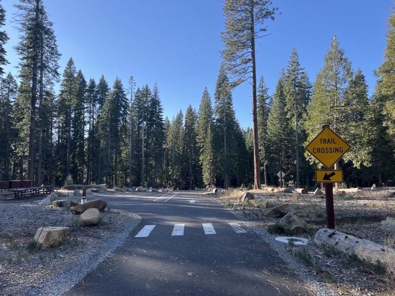
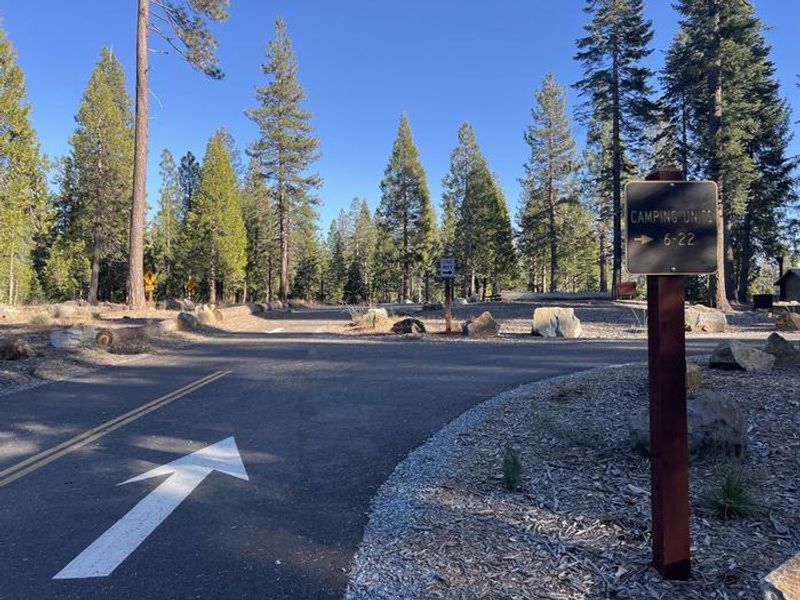
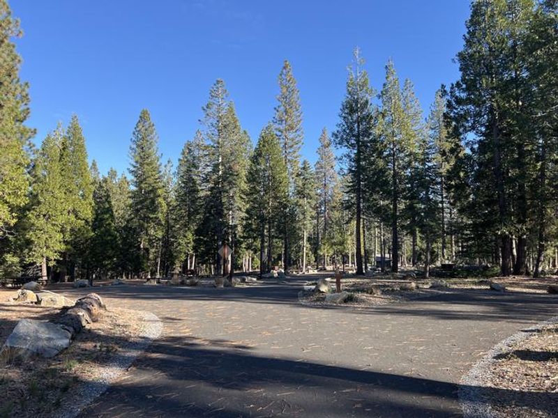
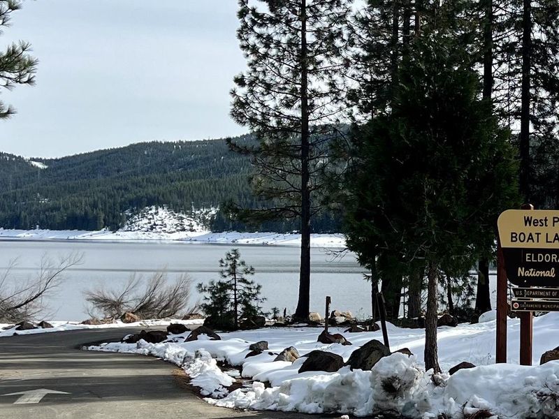
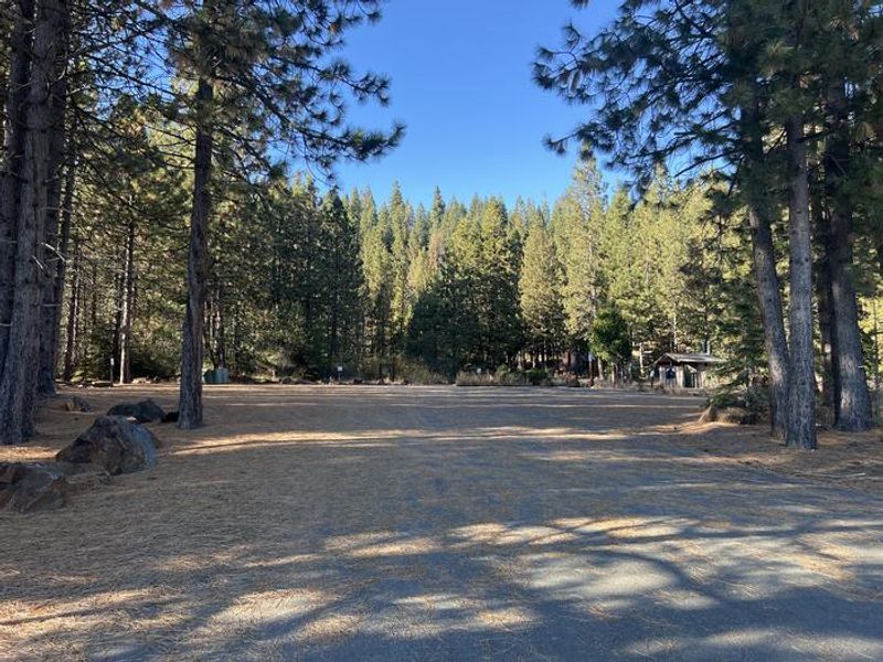
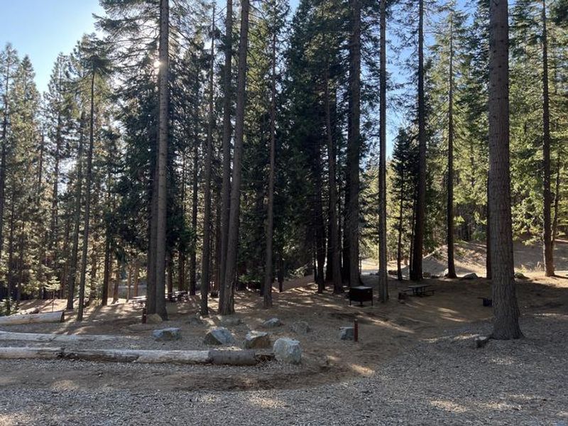
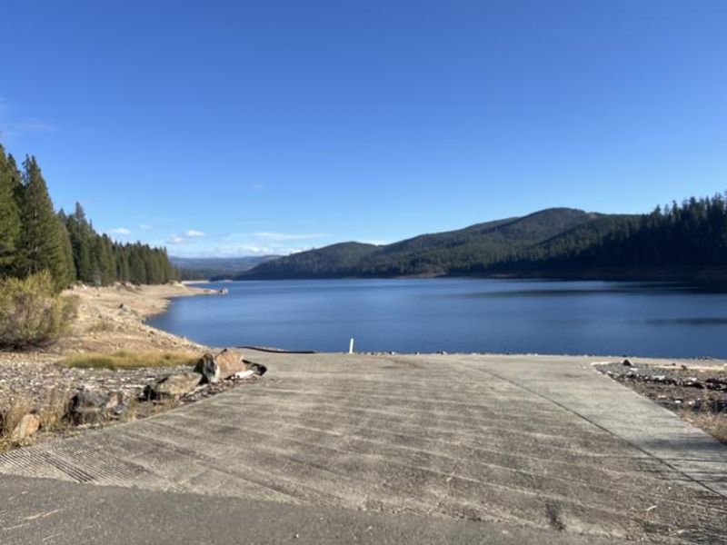
West Point Campground occupies a prime location on the northwest shore of Union Valley Reservoir in California's Eldorado National Forest. At 4,875 feet elevation among cedar and ponderosa pines, the campground offers 22 sites ranging from single ($36/night) to triple capacity ($108/night), plus a 30-person group site ($145/night). Walk-in tent sites (1-5) provide a more secluded experience, while other sites accommodate RVs and trailers with paved driveways up to 50 feet. Amenities include vault toilets, potable water from faucets, fire rings, grills, picnic tables, and bear-proof food storage boxes. No hookups or showers are available; the nearest dump station is at Yellowjacket Campground. A campground host is present during the operating season. The adjacent boat ramp provides direct access to Union Valley Reservoir for boating, fishing, swimming, and kayaking. The Desolation Wilderness is nearby for day hikes or overnight backpacking trips into the Sierra high country.
Directions
From Highway 50, 23 miles east of Placerville, turn north on Ice House Road (Forest Road 3). Go 7 miles, turn left on Peavine Ridge Road for 3 miles, then right on Bryant Springs Road. Continue 5 miles north across the dam to just past West Point Boat Ramp on the right.
Amenities
| Water | Yes |
| Fires Allowed | Yes |
| Toilets | Yes |
| Dump Station | No |
| Wifi | No |
| Pets Allowed | Yes |
| Showers | No |
| Electric Hookups | — |
| Water Hookups | — |
| Sewer Hookups | — |
| Camp Store | No |
| Price | $36 - $145 |
Vehicle
| Max RV Length | — |
| Max Trailer Length | — |
| Big Rig Friendly | — |
| Pull Through Sites | No |
Contact
| info@royalelkparkmanagement.com | |
| Phone | +1 (530) 644-2324 |
Cell Service
| AT&T | Yes |
| Verizon | Yes |
| T-Mobile | Yes |
Useful Links
| View on Recreation.gov | |
| USFS West Point Campground |
Availability
Photos


Community Posts
No posts yet. Be the first to share your experience!