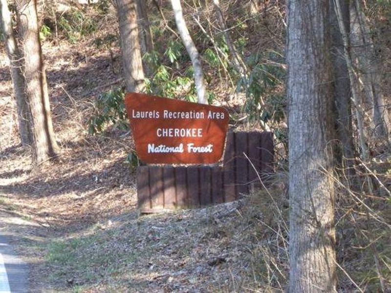
The Laurels Picnic Area Pavilions
Open for the 2026 season from March 16 through October 13. This is a day-use picnic area only; no overnight camping is allowed. Pavilions are reservable through Recreation.gov. No fee for general picnicking.
Campsite limitations
Specific Camping prohibitions1. Camping for more than 14 days in developed and dispersed areas. Camping in anylocation is limited to 14 consecutive days. On the 14th consecutive day, the camper andparty must leave that area/campground for a minimum of seven days before returning foranother stay. If…
Spring Creek Road (NFSR 27) access interruption
An access interruption is now scheduled to begin on Spring Creek Rd (NFSR 27) with Phase 1 construction work beginning September 22, 2026. This will be a two-phase closure. During Phase 1, the Spring Creek Shooting Range will be accessible from Route 315 Tellico-Reliance Rd. During Phase 2, start…
Little Gassaway Road (NFSR 45) access interruption
An access interrupted is now scheduled on the Little Gassaway Road (NFSR 45) during road construction and culvert replacement beginning Sept 28. Access to Thunder Rock Campground remains open. A temporary gate will be installed just after Thunder Rock Campground.
About
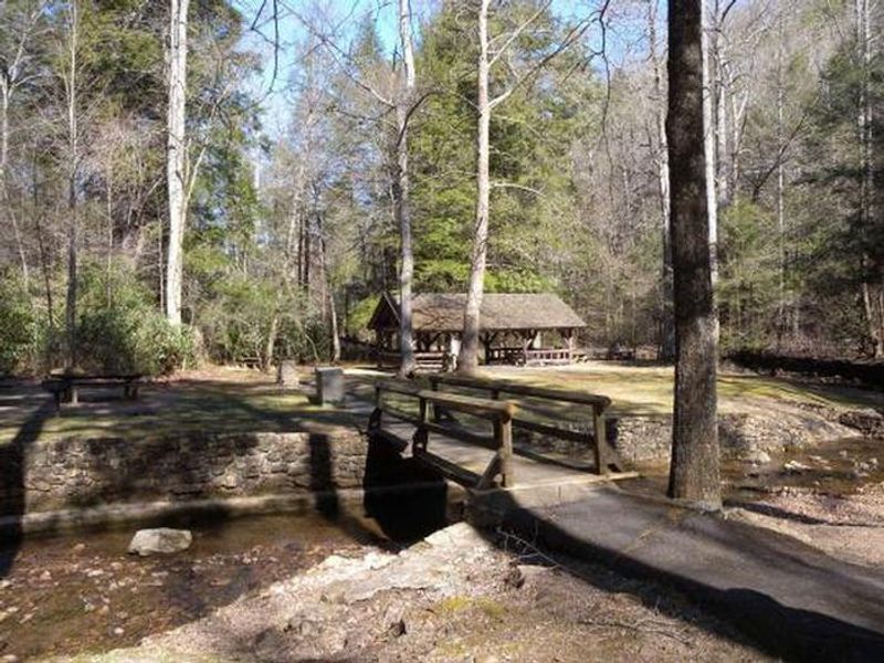
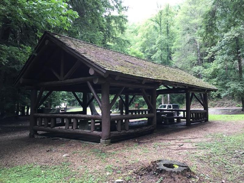
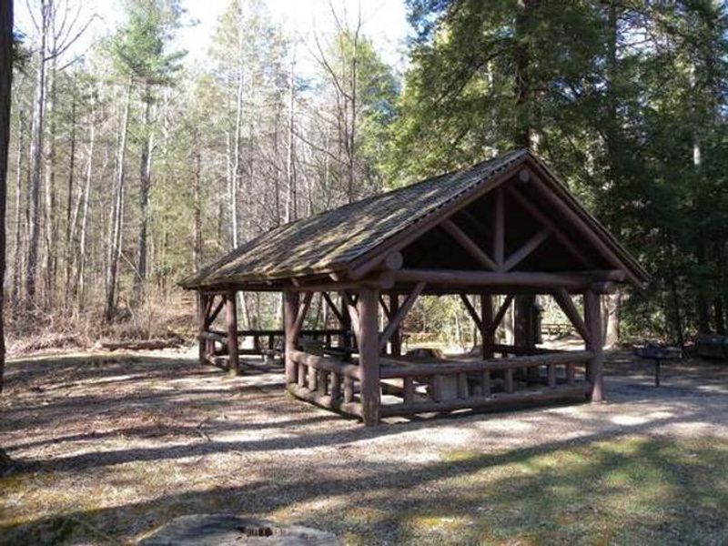
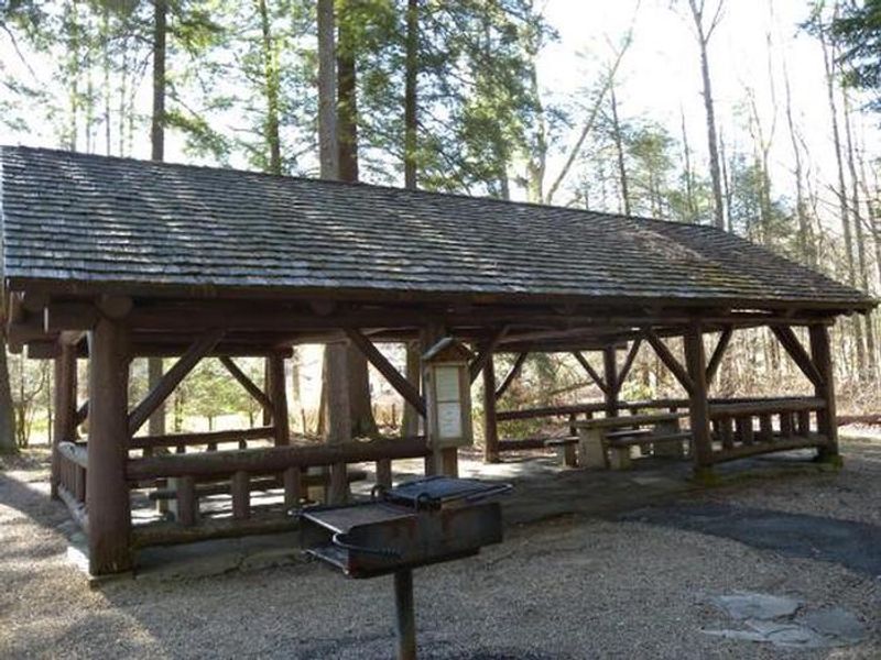
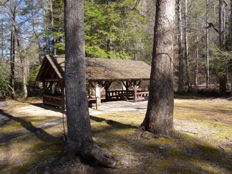
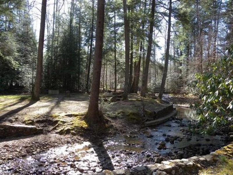
The Laurels Picnic Area has been a popular gathering spot since the early days of East Tennessee, originally serving as a common evening stopover for farmers from North Carolina taking produce to markets in Johnson City. The Civilian Conservation Corps constructed the current facilities in the early 1930s, and the site is named for the native Rhododendron that thrives in the area, locally known as "laurel." This day-use facility features two pavilions available for group reservations, each equipped with picnic tables and charcoal grills. Honeycomb Creek flows through the picnic area and is popular with visitors on warm summer days. Foot paths meander through the surrounding woods. Groups of 75 or more must contact the ranger station for a special use permit. This is a day-use area only with no overnight camping. Visitors should be aware this is bear country: all food must be stored in bear-resistant containers or vehicles, never left on tables. Alcohol is prohibited. Pets must remain on 6-foot leashes.
Directions
From Johnson City, take I-26 E to Okalona exit. Turn left, drive under I-26 to TN 359. Turn right onto TN 359. Travel 1.4 miles, then turn right onto TN 361 for 3.7 miles to The Laurels.
Amenities
| Water | No |
| Fires Allowed | — |
| Toilets | Yes |
| Dump Station | No |
| Wifi | No |
| Pets Allowed | Yes |
| Showers | No |
| Electric Hookups | — |
| Water Hookups | — |
| Sewer Hookups | — |
| Camp Store | No |
| Price | $30 |
Vehicle
| Max RV Length | — |
| Max Trailer Length | — |
| Big Rig Friendly | — |
| Pull Through Sites | No |
Contact
| Phone | +1 (423) 735-1500 |
Cell Service
| AT&T | Yes |
| Verizon | Yes |
| T-Mobile | None |
Availability
Photos
Community Posts
No posts yet. Be the first to share your experience!