Watauga Point Recreation Area
This is a day-use picnic area only with no overnight camping. The 2026 season runs April 6 through October 13, sunrise to sunset. The pavilion and shady area are reservable for $30/day; general picnicking is free and first-come, first-served.
Campsite limitations
Specific Camping prohibitions1. Camping for more than 14 days in developed and dispersed areas. Camping in anylocation is limited to 14 consecutive days. On the 14th consecutive day, the camper andparty must leave that area/campground for a minimum of seven days before returning foranother stay. If…
Spring Creek Road (NFSR 27) access interruption
An access interruption is now scheduled to begin on Spring Creek Rd (NFSR 27) with Phase 1 construction work beginning September 22, 2026. This will be a two-phase closure. During Phase 1, the Spring Creek Shooting Range will be accessible from Route 315 Tellico-Reliance Rd. During Phase 2, start…
Little Gassaway Road (NFSR 45) access interruption
An access interrupted is now scheduled on the Little Gassaway Road (NFSR 45) during road construction and culvert replacement beginning Sept 28. Access to Thunder Rock Campground remains open. A temporary gate will be installed just after Thunder Rock Campground.
About
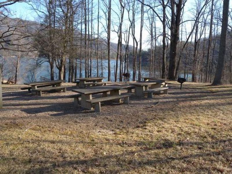
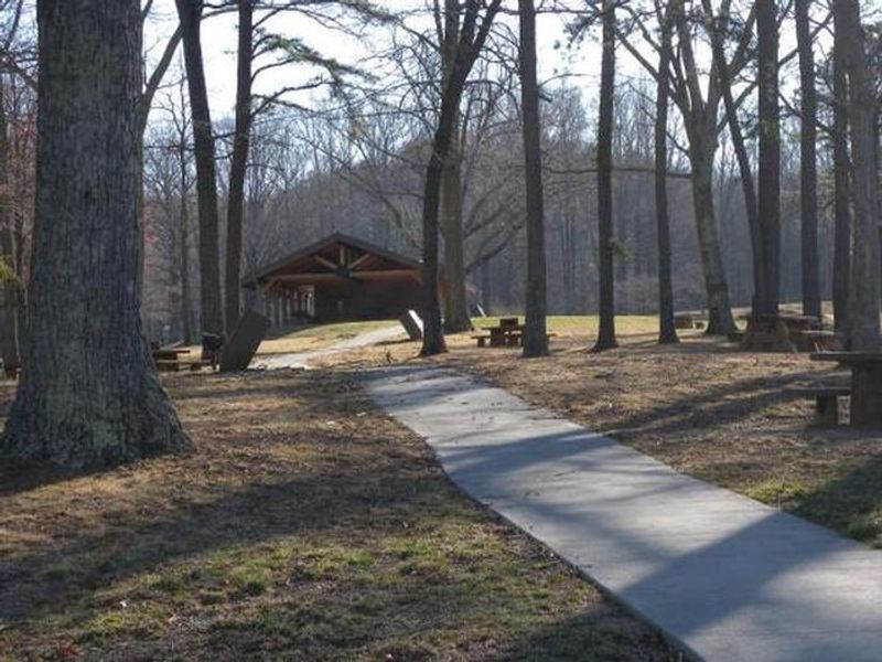
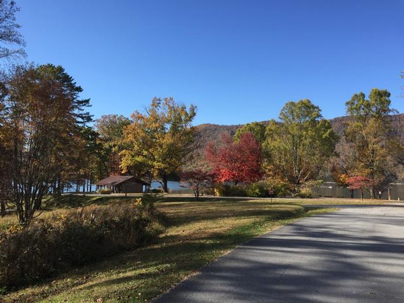
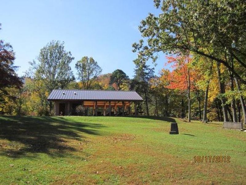
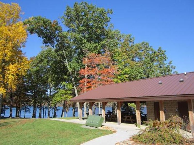
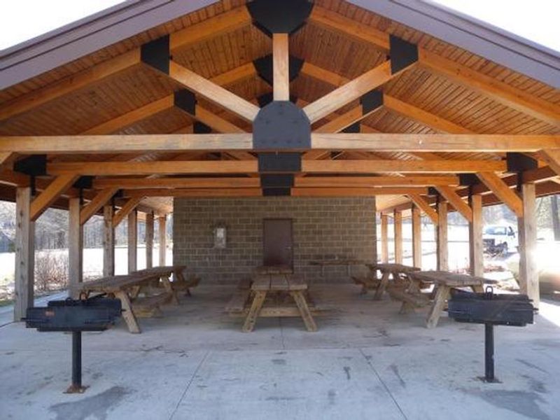
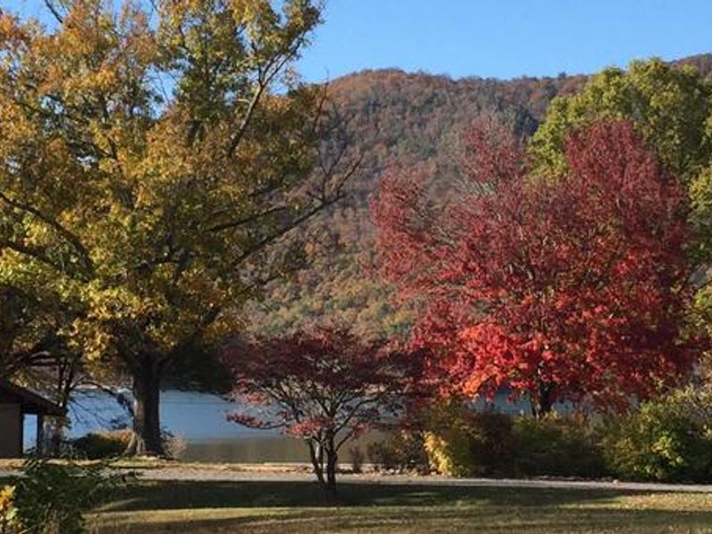
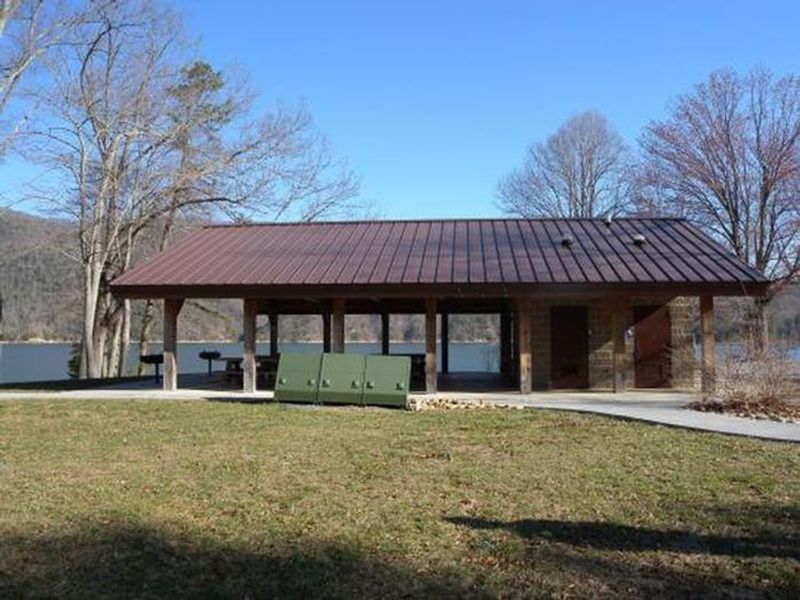
Watauga Point Recreation Area sits on the southern shore of Watauga Lake in Carter County, Tennessee, within the Cherokee National Forest. At more than 1,900 feet elevation, Watauga is the highest reservoir in the state. The recreation area offers sweeping views of the lake and the Big Laurel Branch Wilderness on the opposite shore. This is strictly a day-use facility with no overnight camping permitted. Large shade trees scattered throughout grassy areas create a park-like setting for picnicking, sunbathing, and relaxing by the water. The site includes a covered pavilion with electricity, six picnic tables, and two large grills, as well as a separate shady area with five tables and two grills. A gravel trail loops through the nearby forest for a short woodland walk. Boaters and anglers use Watauga Point as a lakeside base for fishing trips on the 6,400-acre reservoir. For overnight stays, nearby Cardens Bluff Campground offers lakeshore camping approximately three miles away.
Directions
From Elizabethton, take US 19E/321 south for five miles to Hampton. Turn left on US 321/TN 67 south for six miles, then turn left into Watauga Point.
Amenities
| Water | No |
| Fires Allowed | — |
| Toilets | Yes |
| Dump Station | No |
| Wifi | No |
| Pets Allowed | Yes |
| Showers | No |
| Electric Hookups | — |
| Water Hookups | — |
| Sewer Hookups | — |
| Camp Store | No |
| Price | $30 |
Vehicle
| Max RV Length | — |
| Max Trailer Length | — |
| Big Rig Friendly | — |
| Pull Through Sites | No |
Contact
| Phone | +1 (423) 735-1500 |
Cell Service
| AT&T | Yes |
| Verizon | Yes |
| T-Mobile | Yes |
Useful Links
| View on Recreation.gov | |
| USFS - Watauga Point Picnic Area |
Availability
Photos
Community Posts
No posts yet. Be the first to share your experience!