Target Tree Campground
The campground is open for the 2026 season, operating May through September. Both reservable and first-come, first-served sites are available. Quiet hours 10pm to 6am. Check-in at 2pm, check-out at noon. Limited to 14 consecutive nights per 30-day period.
Wheeled Vehicles in Wilderness
This order describes the prohibition of wheeled vehicles in all National Forest Wilderness Areas of the Rocky Mountain Region and any exceptions thereof.
Weed Free Forage Products
The purpose of this Order is to prevent the introduction or spread of noxious weeds.
Cave Closure and Restrictions
The purpose of this Order is to reduce the spread of the fungus that causes White nose syndrome and to protect bat species during critical biological periods.
About
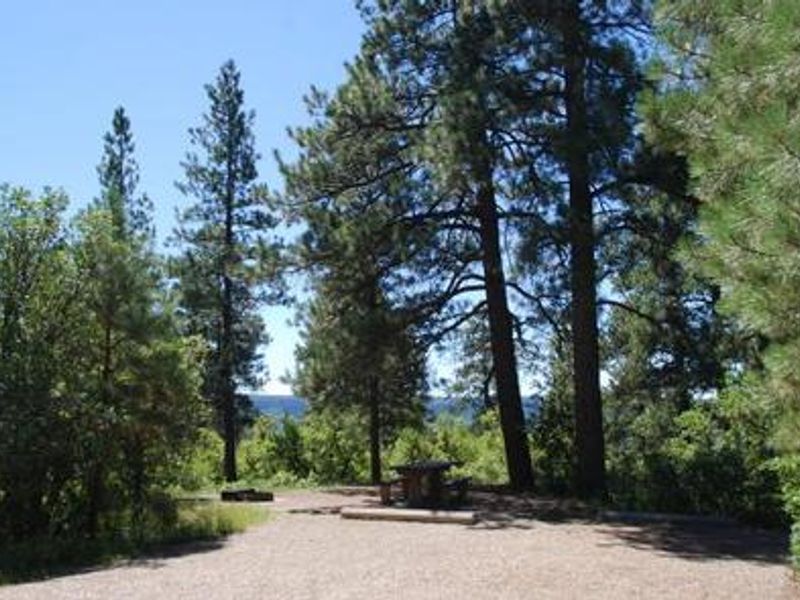
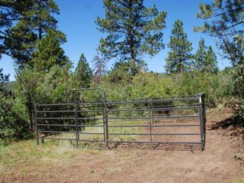
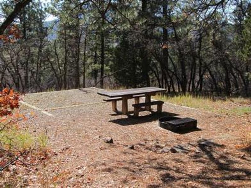
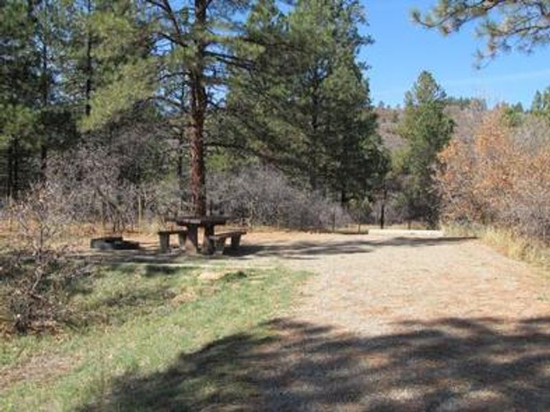
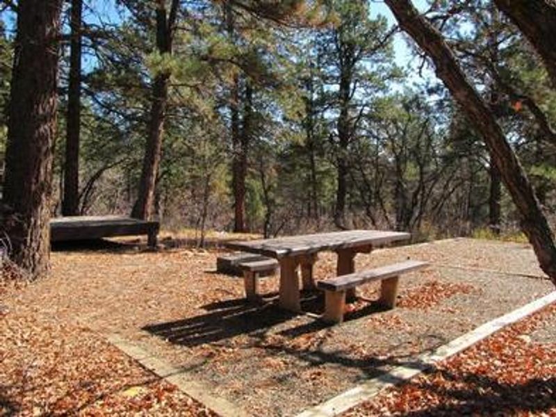
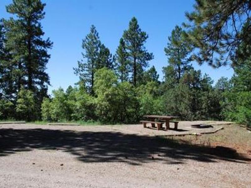
Target Tree Campground, also known by its Ute name "IVIKUKUCH," is located 7 miles east of Mancos on a south-facing hillside in the San Juan National Forest at 7,643 feet elevation. The campground takes its name from the historic practice of the Ute Indians, who used Ponderosa pines in the area for target practice and harvested sap and bark as food supplements. A short, accessible interpretive trail allows visitors to view one of these historic scarred trees. The campground features 28 sites spread beneath Ponderosa pine and Gambel oak forest, with 17 barrier-free accessible sites and three sites with corrals for overnight horse camping. Most sites are shady but can get hot on sunny days, cooling significantly at night. Pull-through sites are available, though most large sites require mechanical leveling for RVs. The maximum RV length is 45 feet. Amenities include potable water, three accessible composting vault toilets, picnic tables, and fire grates. There are no electrical hookups, dump station, showers, or firewood sales. The campground is known for excellent birding opportunities. Its location makes it ideal for day trips to Mesa Verde National Park, the Anasazi Heritage Center in Dolores, Canyon of the Ancients, and Hovenweep National Monument.
Directions
From Mancos, take US Highway 160 east for 7 miles. The campground is on the north (left) side of the highway. Turn left at the campground sign and follow the gravel road 0.3 miles to the campground. From Durango, take US Highway 160 west for 20 miles to the campground sign.
Amenities
| Water | Yes |
| Fires Allowed | Yes |
| Toilets | Yes |
| Dump Station | No |
| Wifi | No |
| Pets Allowed | Yes |
| Showers | No |
| Electric Hookups | — |
| Water Hookups | — |
| Sewer Hookups | — |
| Camp Store | No |
| Price | $24 |
Vehicle
| Max RV Length | 60ft |
| Max Trailer Length | 60ft |
| Big Rig Friendly | Yes |
| Pull Through Sites | No |
Contact
| Phone | +1 (970) 882-7296 |
Cell Service
| AT&T | Yes |
| Verizon | Yes |
| T-Mobile | Yes |
Availability
Photos
Community Posts
No posts yet. Be the first to share your experience!