Snowslide
Open for the season. Sites are first-come, first-served at $22/night. Fire restrictions in effect through December 2027 limit fires to Forest Service-provided metal grates only. No services available between September and May.
Hydrologic Outlook issued October 28 at 2:42PM MDT by NWS Grand Junction CO
ESFGJT Low pressure begins to dig southward from the PACNW on Friday, tapping into a fetch of Pacific moisture that will evolve into an atmospheric river streaming into the Desert Southwest this weekend. Showers and thunderstorms develop on Friday and Saturday across the region. Lighter rainfall totals Friday and Saturday will reflect, initially lower, moisture. However, a few thunderstorms could produce impactful downpours on saturated soils left over from last weekend's historic rainfall. Deeper moisture develops Saturday night and early Sunday. This is expected to produce heavier and more widespread rainfall across southeast UT and southwest CO Sunday and Monday, mostly below 10000 feet. While rivers are forecast to remain below action stage, a growing concern lies in the potential for runoff around saturated hillsides in the region. This could produce rock, mud, and debris flows onto roadways, as well as flash flood prone burn scars, washes, slot canyons, and arroyos. Early estimates predict an area of 1 to 2 inches of new rainfall for portions of southeast UT and southwest CO. This is a preliminary forecast that hinges on slight shifts in a strong moisture plume impacting the region. It also attempts to capture the most statistically likely outcome, despite stronger and weaker outlier predictions. Outdoor enthusiasts, motorists, and residents of recent flood impacted areas are encouraged to remain abreast of the developing forecast in the coming days.
Wheeled Vehicles in Wilderness
This order describes the prohibition of wheeled vehicles in all National Forest Wilderness Areas of the Rocky Mountain Region and any exceptions thereof.
Weed Free Forage Products
The purpose of this Order is to prevent the introduction or spread of noxious weeds.
About
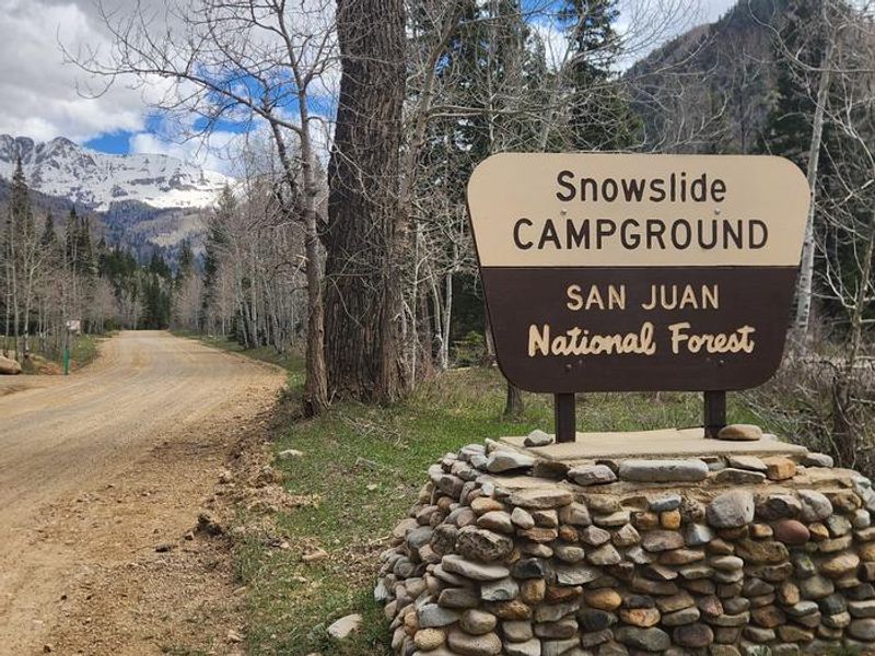
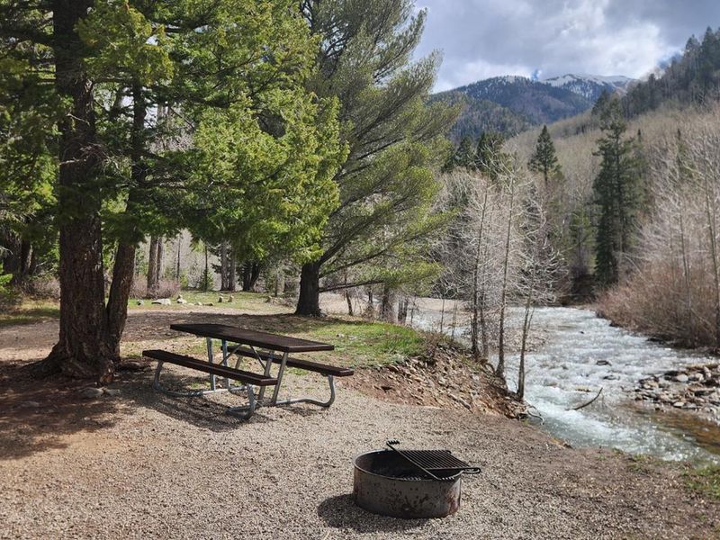
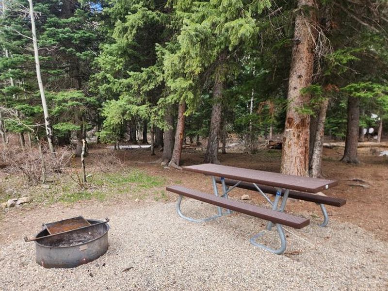
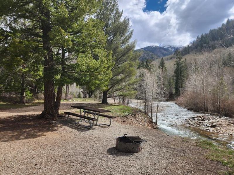
Snowslide Campground is nestled in scenic La Plata Canyon in the Columbine Ranger District of San Juan National Forest, about 17 miles from Durango. The campground features 13 first-come, first-served sites set among pine trees, with several sites offering direct access to the La Plata River. This is a primitive campground with vault toilets, picnic tables at each site, and Forest Service-provided fire grates. There is no potable water at Snowslide; however, water is available at Kroeger Campground directly across the road. Campers must pack out all trash. The campground accommodates RVs up to 35 feet, though all vehicles with wheels must fit within the parking spur as no overflow parking exists. Dogs are allowed but must remain leashed and never left unattended. The area is popular with mountain bikers who ride the Colorado Trail from Kennebec Pass down to Junction Creek near Durango. Fire restrictions are in effect through December 2027, limiting fires to the metal fire grates provided by the Forest Service. Beyond the campground, the road becomes rugged 4WD terrain leading to high-country trailheads.
Directions
From Durango, head 12 miles west on US Highway 160. Turn north on County Road 124 at Hesperus and drive 5 miles. The paved road becomes gravel at the National Forest boundary. Access is via 2WD gravel road; beyond the campgrounds the road becomes rugged 4WD.
Amenities
| Water | No |
| Fires Allowed | Yes |
| Toilets | Yes |
| Dump Station | No |
| Wifi | No |
| Pets Allowed | Yes |
| Showers | No |
| Electric Hookups | — |
| Water Hookups | — |
| Sewer Hookups | — |
| Camp Store | No |
| Price | $22 |
Vehicle
| Max RV Length | 35ft |
| Max Trailer Length | — |
| Big Rig Friendly | No |
| Pull Through Sites | No |
Contact
| Phone | +1 (970) 884-2512 |
Cell Service
| AT&T | None |
| Verizon | None |
| T-Mobile | None |
Availability
Photos
Community Posts
No posts yet. Be the first to share your experience!