Stevens Creek Campground
Open for camping. All 53 sites are first-come, first-served using the Recreation.gov Scan & Pay app. Potable water is available seasonally from late May through mid-September. Stage 1 fire restrictions are in effect; campfires permitted only in designated metal fire grates. The Stevens Creek boat ramp is currently closed.
About
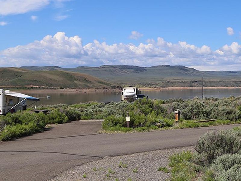
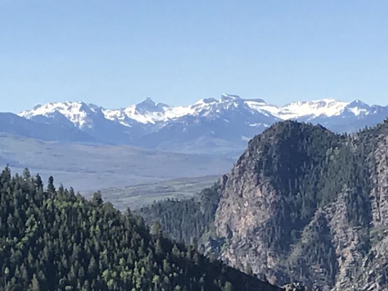
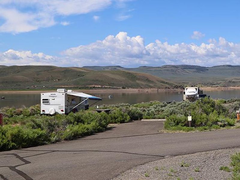
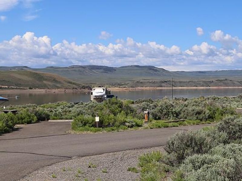
Stevens Creek Campground is located on the north shore at the eastern end of Blue Mesa Reservoir within Curecanti National Recreation Area. At 7,540 feet elevation, the campground features a semi-arid shrubland landscape dominated by sagebrush and rabbitbrush with no natural shade. The 53 sites are divided across three loops (A, B, and C) and can accommodate everything from tents to large RVs up to 55 feet in length. The campground is popular with boaters due to its proximity to the reservoir, though the Stevens Creek boat ramp is currently closed. Stand-up paddleboarding, fishing, canoeing, and bird watching are common activities. The 1.5-mile Neversink Trail nearby meanders along the Gunnison River upstream of Blue Mesa Reservoir. All sites are first-come, first-served using the Recreation.gov Scan & Pay system. Amenities include vault toilets year-round, potable water from late May through mid-September, trash collection, fire grates at each site, and a seasonal fish cleaning station. There are no hookups, showers, or dump station on-site. Cell phone reception is limited.
Directions
From Gunnison, travel 12 miles west along U.S. Highway 50. The campground is on the south side of the highway near mile marker 146.
Amenities
| Water | Yes |
| Fires Allowed | Yes |
| Toilets | Yes |
| Dump Station | No |
| Wifi | No |
| Pets Allowed | Yes |
| Showers | No |
| Electric Hookups | — |
| Water Hookups | — |
| Sewer Hookups | — |
| Camp Store | No |
| Price | $20 |
Vehicle
| Max RV Length | 48ft |
| Max Trailer Length | 40ft |
| Big Rig Friendly | Yes |
| Pull Through Sites | No |
Contact
| Phone | +1 (970) 641-2337 |
Cell Service
| AT&T | None |
| Verizon | None |
| T-Mobile | None |
Availability
Photos
Community Posts
No posts yet. Be the first to share your experience!