South Branch Trail Camp Group Site
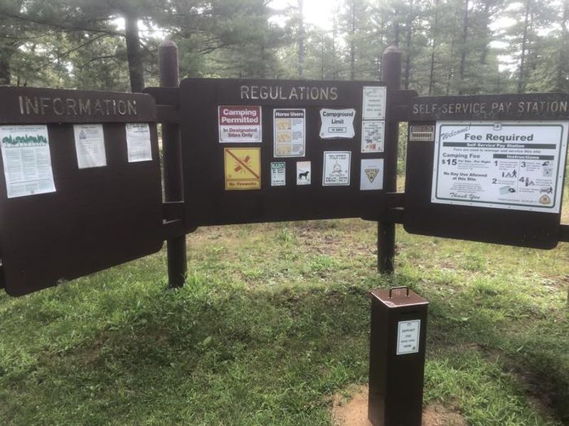
Opens May 15 for the 2026 season. The group site operates May 15 through September 30. Reservations required via Recreation.gov. Water is available but requires campers to bring a 5,000+ watt generator to operate the electric pump.
About
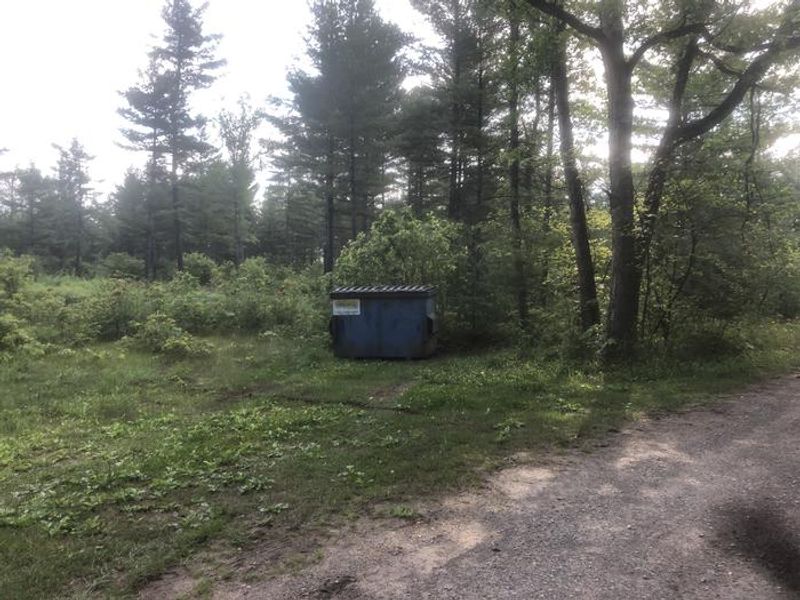
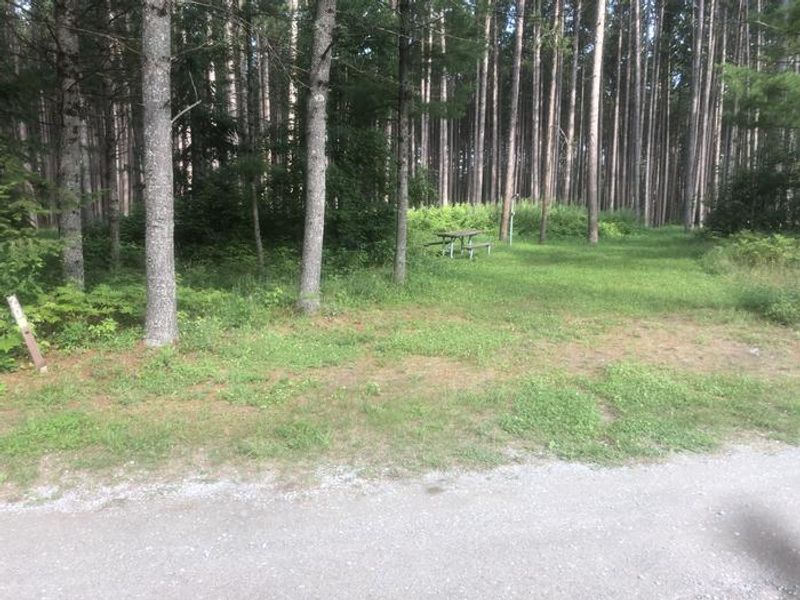
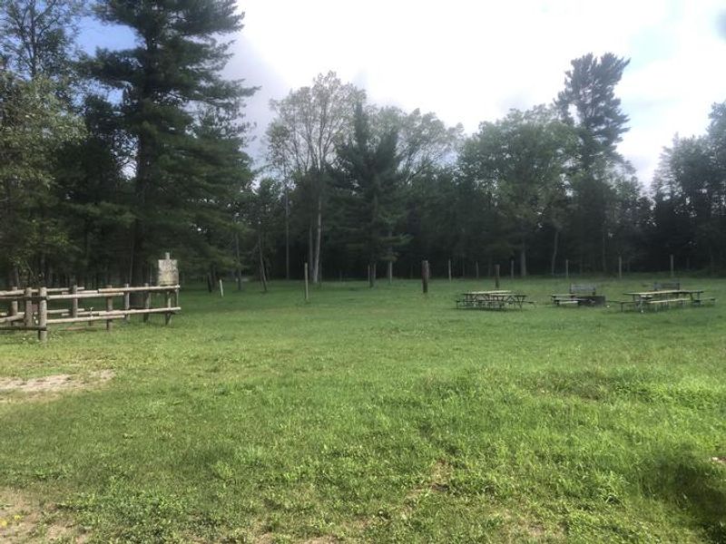
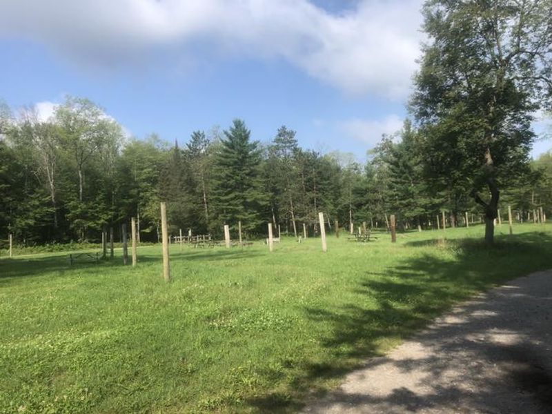
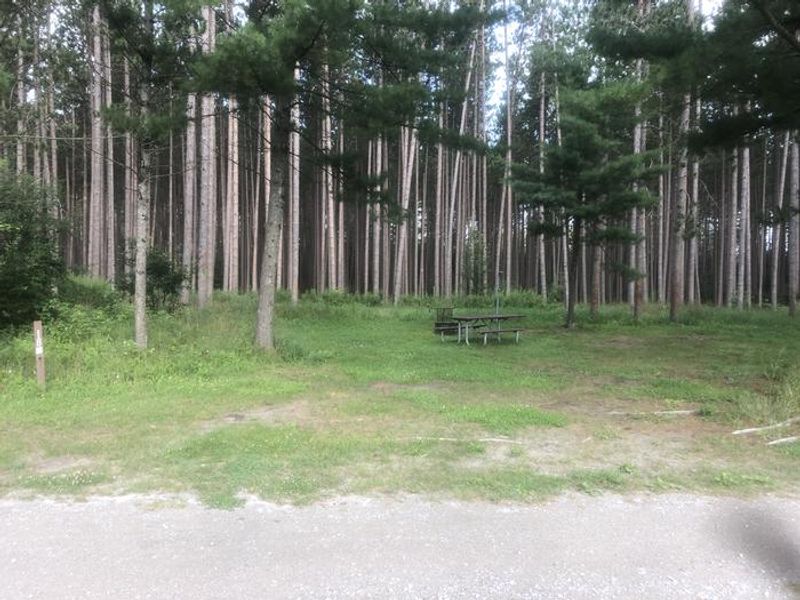
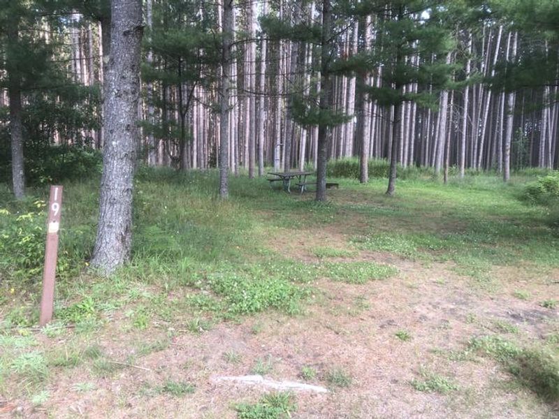
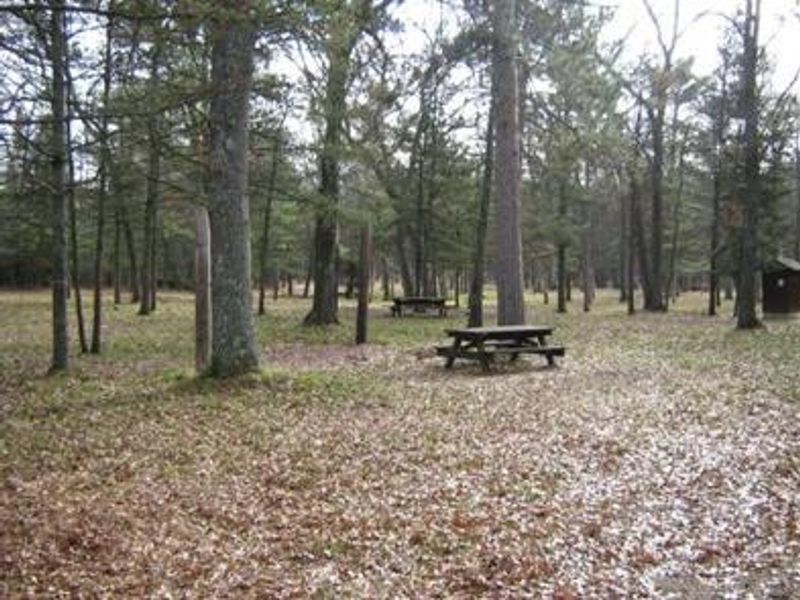
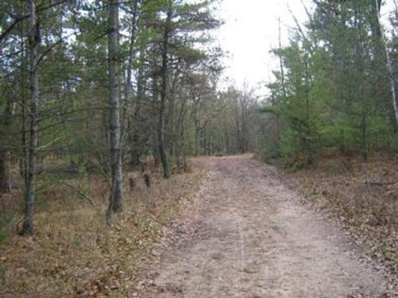
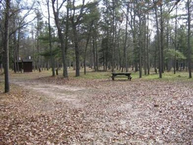
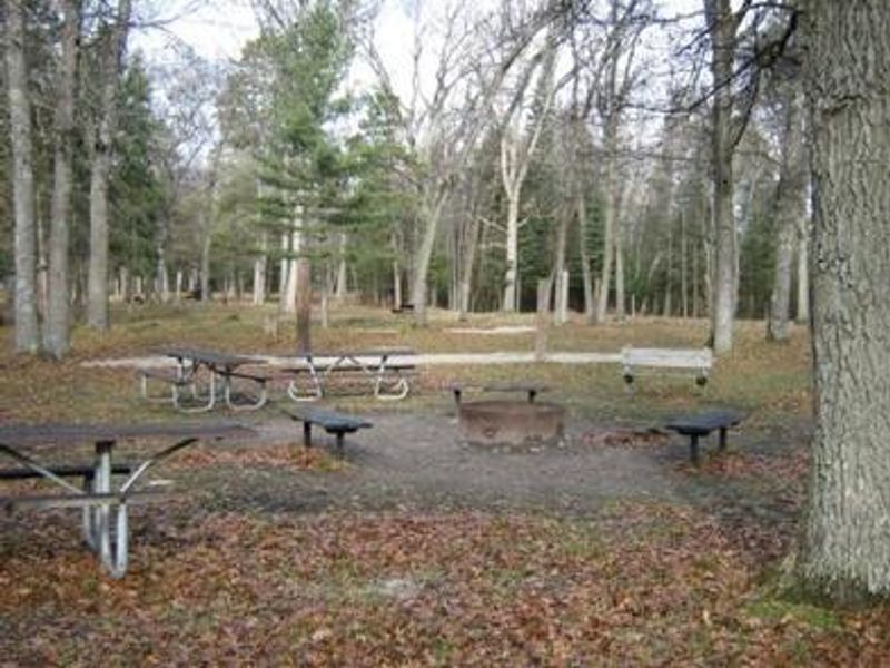
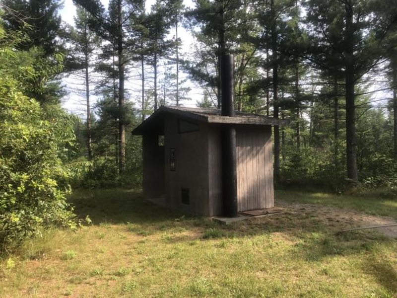
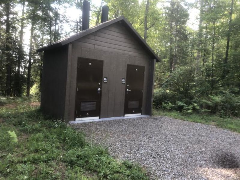
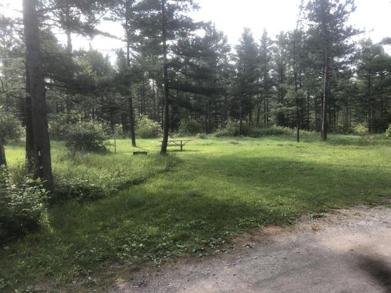
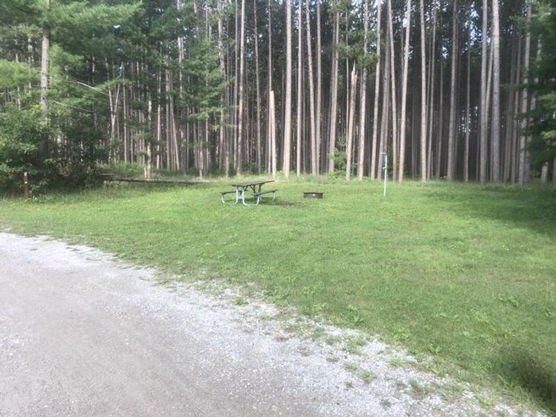
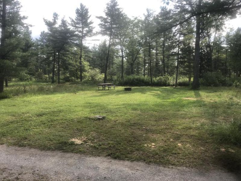
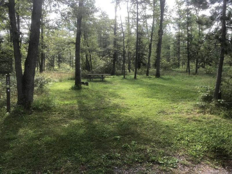
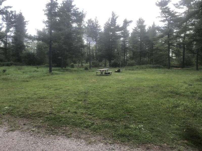
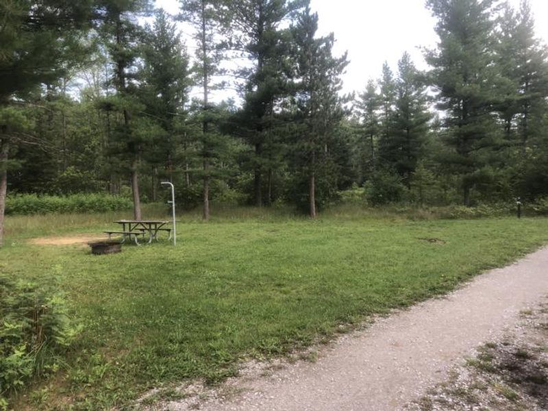
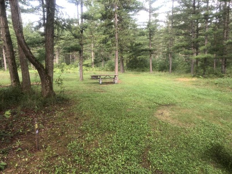
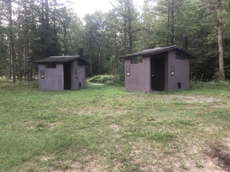
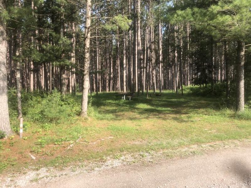
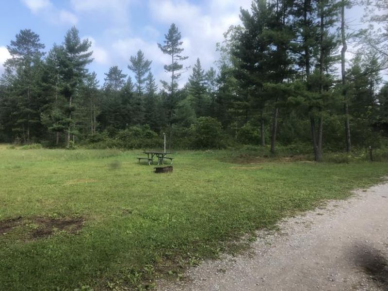
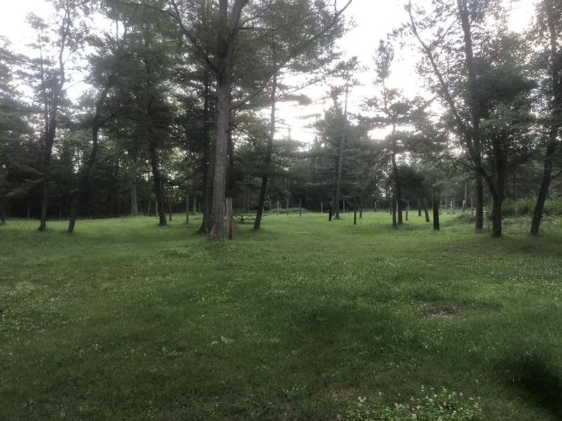
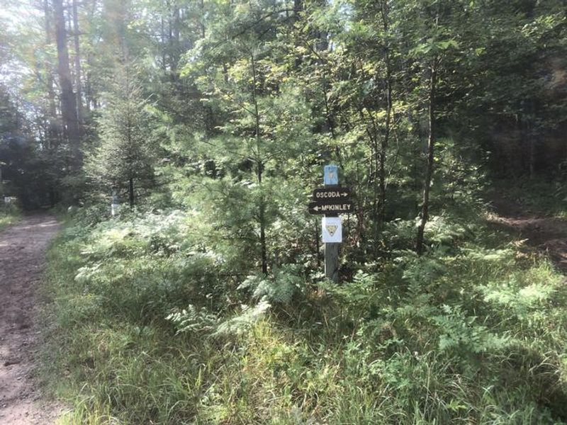
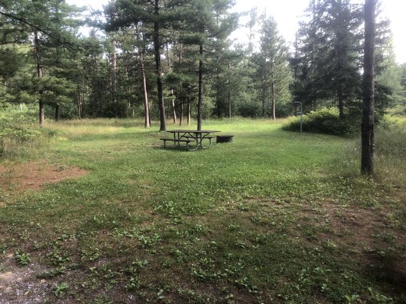
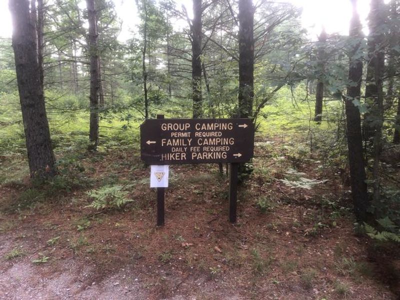
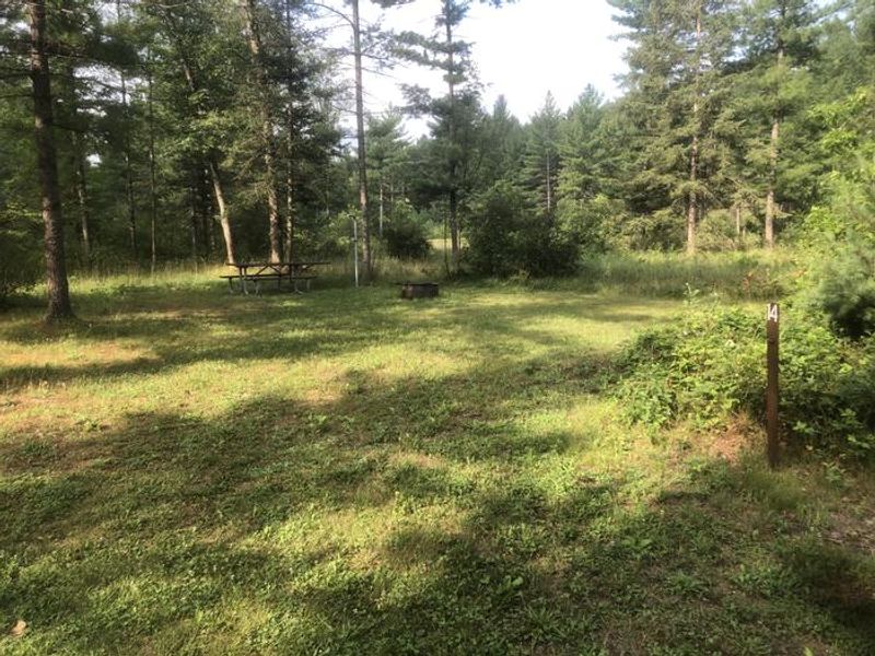
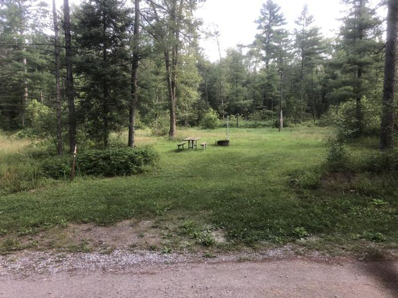
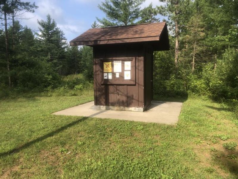
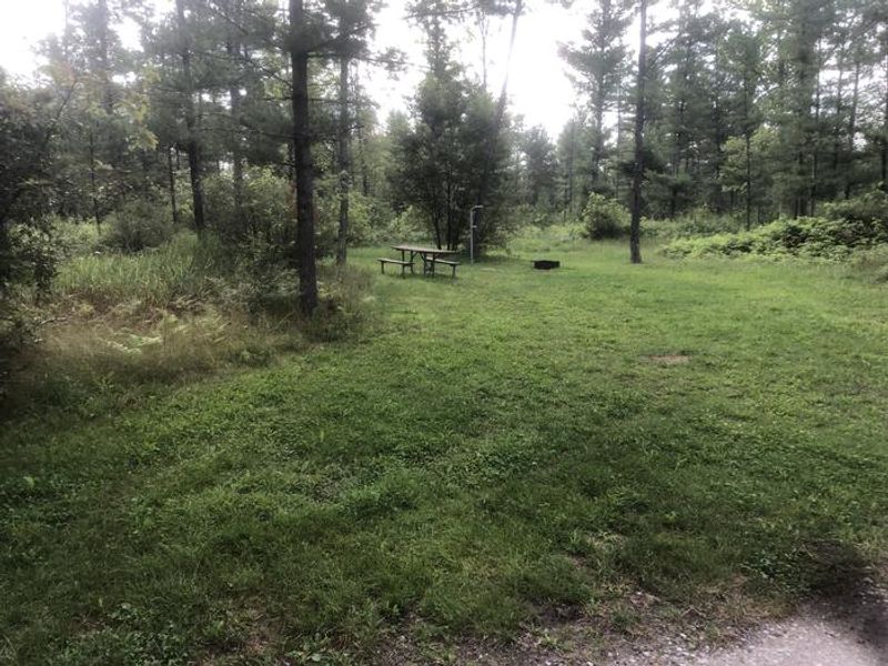
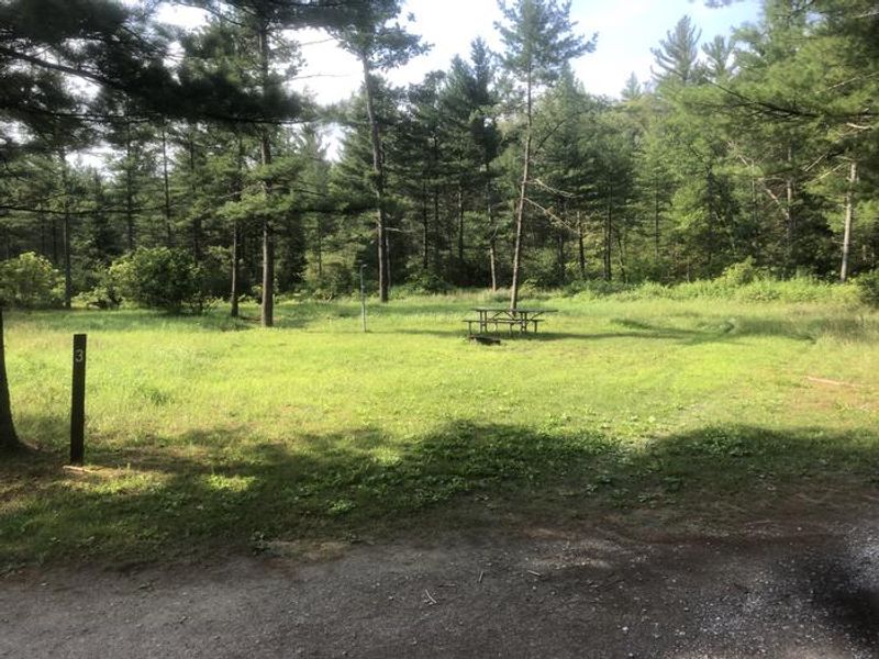
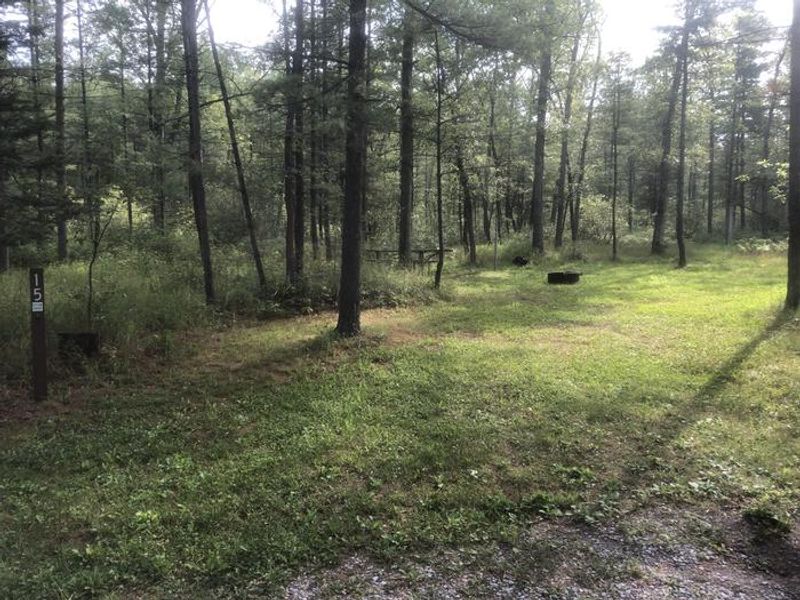
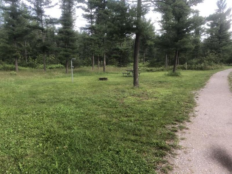
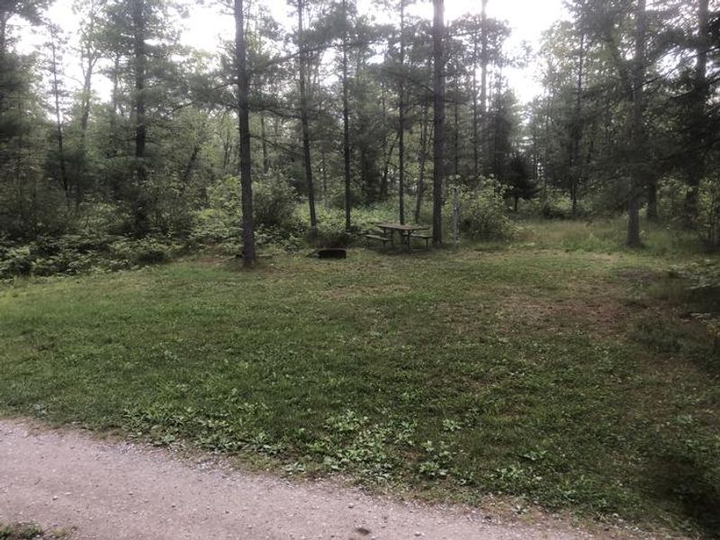
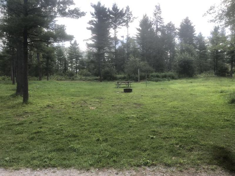
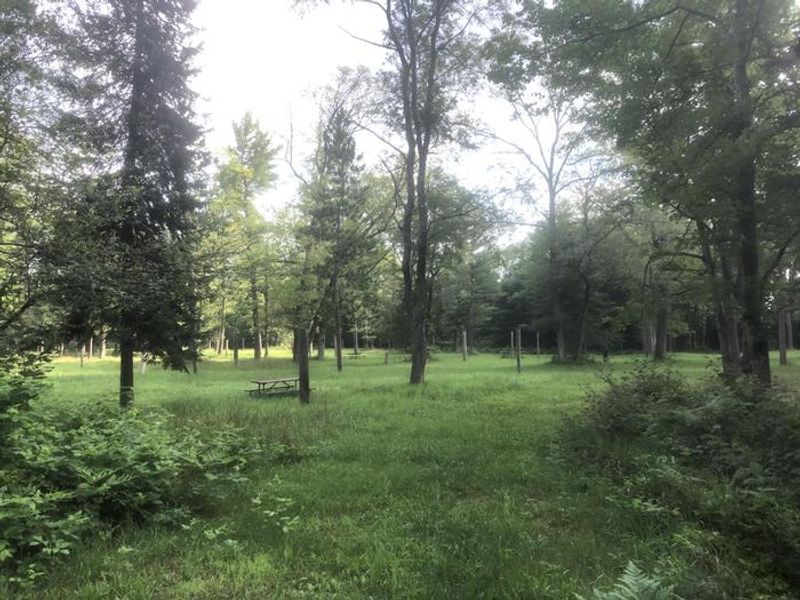
South Branch Trail Camp Group Site is a premier equestrian group camping destination in Michigan's Huron National Forest, located adjacent to the South Branch River. The spacious site can accommodate up to 250 campers and 65 vehicles, making it ideal for large horse camping groups, trail riding clubs, and organized events. The campground sits in a scenic stand of oak and pine at approximately 880 feet elevation. The site offers direct access to the 240-mile Michigan Shore-to-Shore Horseback Riding and Hiking Trail, which stretches from Empire near Lake Michigan to Oscoda on Lake Huron. Facilities include three sets of vault toilets, picket posts for horses, and a day-use horse parking area. Water is available via an electric pump, though campers must provide a 5,000+ watt generator to operate it on the group side. While priority is given to equestrian campers, the site welcomes all visitors. The campground is near the Au Sable River Semi-Primitive Nonmotorized Area, and Lake Huron is a short drive to the east.
Directions
From Tawas, travel west on M-55 for 14.7 miles. Turn right and travel north on M-65 for 14 miles. Turn left and travel west on Rollway Road for 3 miles. The site is on the right.
Nearby Campgrounds
Amenities
| Water | Yes |
| Fires Allowed | Yes |
| Toilets | Yes |
| Dump Station | — |
| Wifi | No |
| Pets Allowed | Yes |
| Showers | No |
| Electric Hookups | — |
| Water Hookups | — |
| Sewer Hookups | — |
| Camp Store | No |
| Price | $40 - $100 |
Vehicle
| Max RV Length | — |
| Max Trailer Length | — |
| Big Rig Friendly | — |
| Pull Through Sites | No |
Contact
| Phone | +1 (989) 739-0728 |
Cell Service
| AT&T | None |
| Verizon | Yes |
| T-Mobile | None |
Availability
Photos

Community Posts
No posts yet. Be the first to share your experience!