Closed
Currently closed due to seasonal snow. The access roads and Hoodoo Pass are typically impassable from late October through mid-July. The lookout generally opens for reservations in mid-July through October, weather permitting.
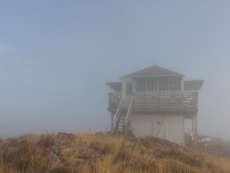
About
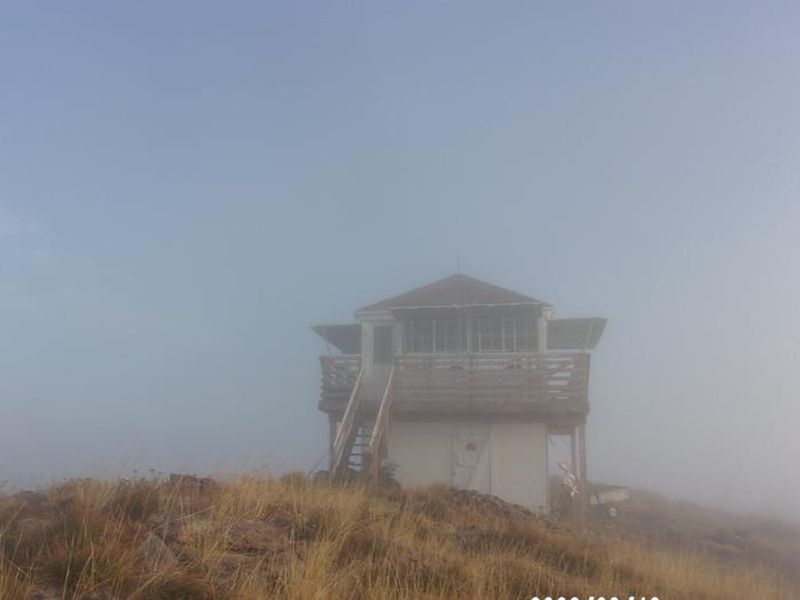
Scurvy Mountain Lookout sits atop a 6,600-foot peak in the Nez Perce-Clearwater National Forests, approximately 61 miles northeast of Pierce, Idaho. The original platform was built in 1917, with living quarters added in the 1920s and the current cab constructed in 1952. After a decade-long volunteer restoration, the lookout was added to the National Register of Historic Lookouts in 2004.
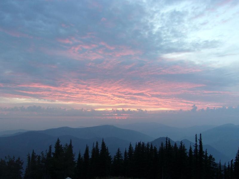
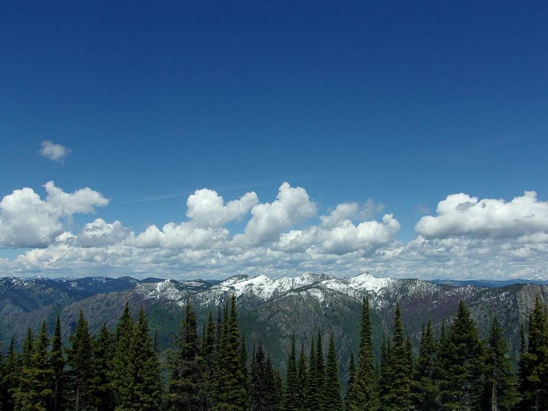
The lookout provides 360-degree panoramic views of the Cayuse Creek and Weitas Creek drainages, Cook Mountain, the Moose Creek Buttes, the Bitterroot Mountains, and Scurvy Lake. Wildlife sightings are common, including mule deer, elk, black bear, mountain lion, and various mountain birds. The remote location and unobstructed skyline make it exceptional for stargazing.
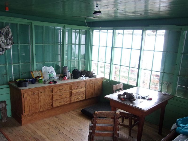
The cabin accommodates two people and includes a small modern woodstove, kerosene lantern, table with chairs, and countertops with cabinets. Guests must bring all supplies including bedding, food, water, and cleaning supplies. A vault toilet is located nearby. Pack-it-in, pack-it-out rules apply. Access requires driving 50 miles of single-lane gravel roads from Pierce, with the final 4 miles requiring a high-clearance 4x4 vehicle, followed by a 4-5 mile moderate hike or OHV ride (vehicles under 50 inches width only).
Directions
From Pierce, Idaho: Take French Mountain Road (FSR 250) east for approximately 45 miles, staying right after crossing the North Fork of the Clearwater River at the Historic Bungalow Ranger Station site. At Kelly Forks work center, take FSR 255 across the river for 11 miles to the FSR 255/FSR 581 junction. Follow FSR 581 across Kelly Creek for 4 miles to the Trail #524 trailhead at East Saddle. Hike or OHV the remaining 5 miles to the lookout. The last 4 miles of road require a high-clearance 4x4 vehicle. Alternatively, from Superior, MT via I-90: Take Diamond Match Road to Hoodoo Pass (typically impassable until mid-July due to snow), continue on FSR 250 to FSR 255, then FSR 581 to Trail #524.