Penitente Canyon Campground
Open year-round. Potable water is available May through October only; bring your own water supply outside this window. Reservations available through Recreation.gov. Maximum stay is 14 days.
About
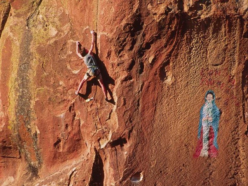
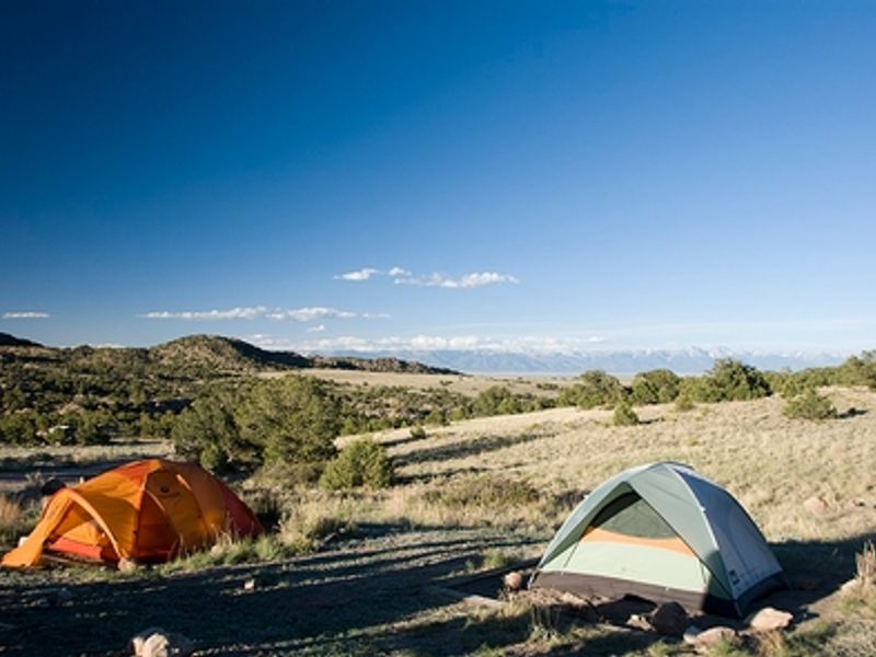
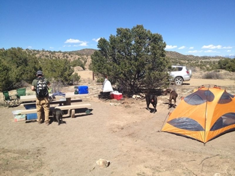
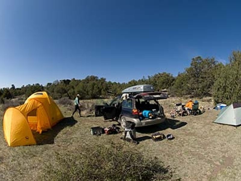
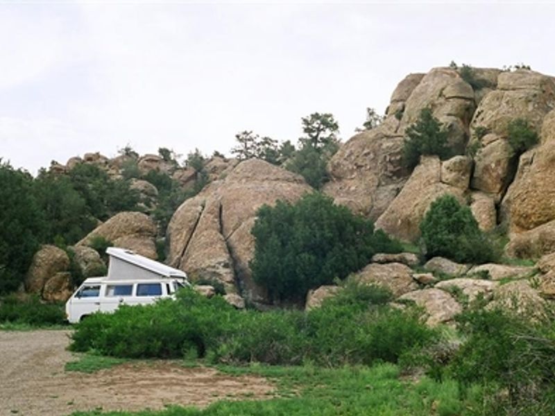
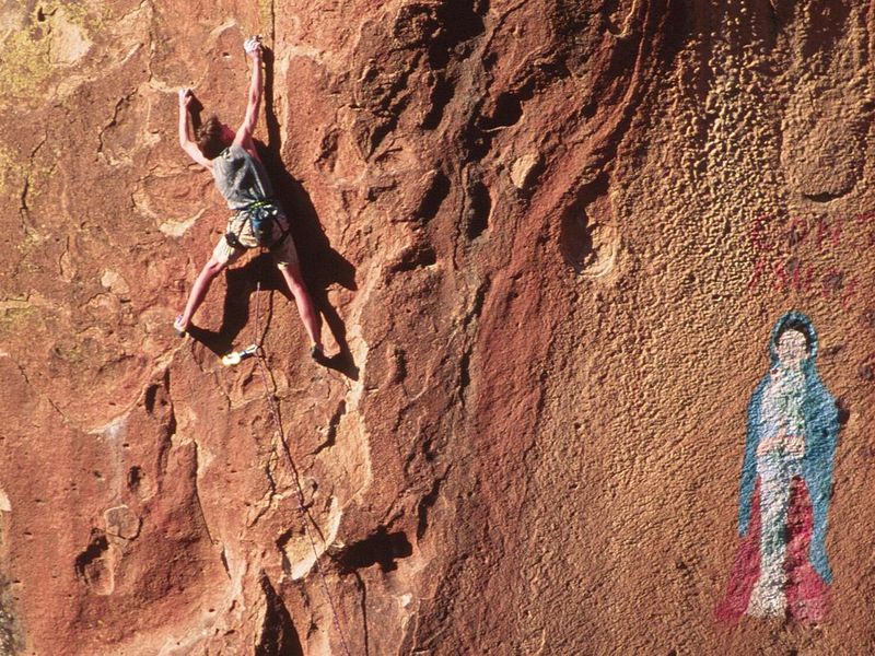
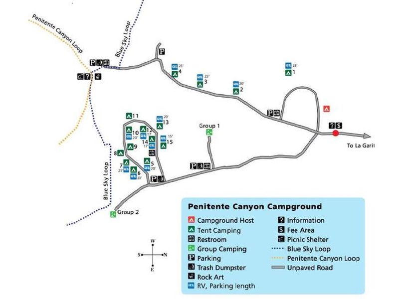
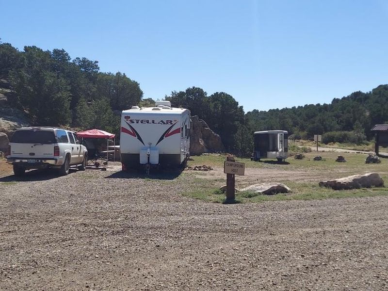
Penitente Canyon Campground provides a base camp for exploring one of Colorado's premier climbing destinations. The volcanic tuff walls of Penitente Canyon offer world-class sport climbing routes ranging from beginner to expert. Beyond climbing, the area features an extensive singletrack trail system popular with mountain bikers and hikers, plus opportunities for horseback riding and wildlife watching. The campground has 15 individual sites (3 tent-only and 12 RV/tent) plus 2 group tent sites. Each site includes a picnic table, tent pad, fire ring, food storage locker, and parking. Five vault toilets are distributed throughout the campground, and trash bins are provided. Potable water is available from a wellhouse from May through October; campers should bring backup water supplies. The rocks here are remnants of volcanic eruptions in the San Juan Volcanic Field 20-30 million years ago. Ancestors of the Utes, Jicarilla Apaches, and Puebloans left pictographs throughout these canyonlands, representing the largest concentration of rock art in the San Luis Valley. The area is also rich in history from Hispanic settlers and early American frontiersmen.
Directions
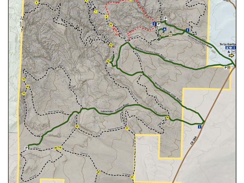
From U.S. 285, turn west onto Saguache County Road G. After 6 miles, pass La Garita Trading Post. Continue 0.5 miles to a Y intersection; take the left fork (County Road 38A). The recreation area entrance is another 0.5 miles on the right. Elevation 7,930 ft.
Amenities
| Water | Yes |
| Fires Allowed | Yes |
| Toilets | Yes |
| Dump Station | No |
| Wifi | No |
| Pets Allowed | Yes |
| Showers | No |
| Electric Hookups | — |
| Water Hookups | — |
| Sewer Hookups | — |
| Camp Store | No |
| Price | $11 - $20 |
Vehicle
| Max RV Length | — |
| Max Trailer Length | — |
| Big Rig Friendly | — |
| Pull Through Sites | No |
Contact
| Phone | +1 (719) 852-7074 |
Cell Service
| AT&T | None |
| Verizon | None |
| T-Mobile | None |
Availability
Photos

Community Posts
No posts yet. Be the first to share your experience!