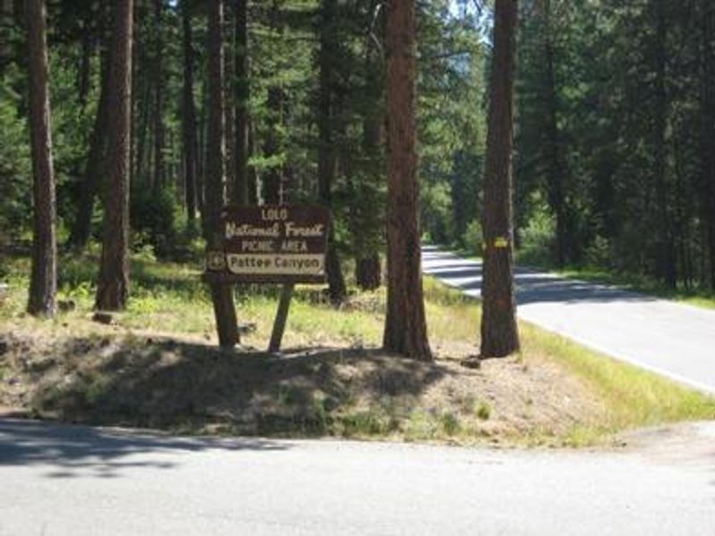
Pattee Canyon Picnic Area
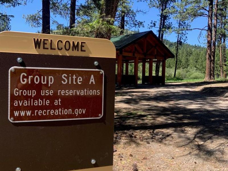
Day-use only with no overnight camping. The picnic area opens July 1 and operates through Labor Day. Group picnic reservations available June 15 through October 31 via Recreation.gov. From November 1 to June 14, access is limited to walk-in only. Daily hours are 6 a.m. to 9 p.m.
About
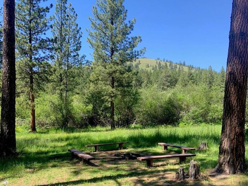
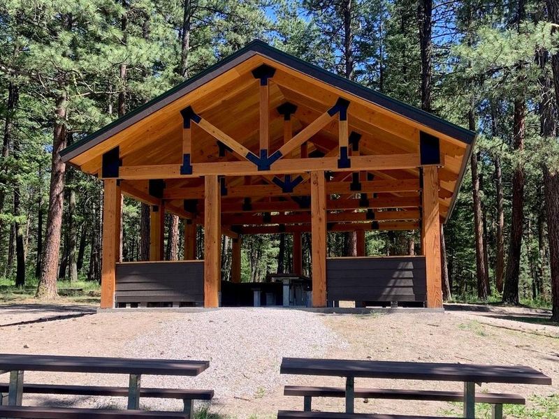
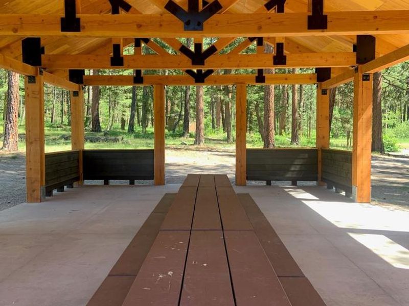
Pattee Canyon Picnic Area is a day-use facility within the 3,200-acre Pattee Canyon Recreation Area, located four miles southeast of Missoula in Lolo National Forest. Set at 4,100 feet elevation in a wooded canyon, the site provides shaded picnic spots beneath large ponderosa pine trees. The area is strictly day-use only with no overnight camping permitted. The facility offers 14 individual family picnic sites available free of charge, plus three group picnic sites (Site A at $100/day, Sites B and C at $50/day each) that require advance reservations through Recreation.gov during the primary season. Amenities include accessible vault toilets, trash collection receptacles, picnic tables, fire rings, and grills. Potable water is not available. The broader Pattee Canyon Recreation Area features 27 miles of trails open year-round to hikers, mountain bikers, joggers, cross-country skiers, and dog walkers. The area also includes a disc golf course.
Directions
From I-90 in Missoula, take the Orange Street exit #104 and travel south. Turn left onto West Front Street and go 0.2 miles to South Higgins Avenue, then turn right. Continue on South Higgins Avenue for about 2.7 miles to Pattee Canyon Road, then turn left. On Pattee Canyon Road, travel 4 miles east up the canyon to the Pattee Canyon Picnic Area entrance.
Amenities
| Water | No |
| Fires Allowed | Yes |
| Toilets | Yes |
| Dump Station | No |
| Wifi | — |
| Pets Allowed | Yes |
| Showers | No |
| Electric Hookups | — |
| Water Hookups | — |
| Sewer Hookups | — |
| Camp Store | No |
| Price | $100 |
Vehicle
| Max RV Length | — |
| Max Trailer Length | — |
| Big Rig Friendly | — |
| Pull Through Sites | No |
Contact
| Phone | +1 (406) 329-3814 |
Cell Service
| AT&T | Yes |
| Verizon | Yes |
| T-Mobile | Yes |
Availability
Photos
Community Posts
No posts yet. Be the first to share your experience!