Ninemile Lake Campground
The campground opens for the 2026 season on May 8 and operates through October 1. Due to lingering freezing temperatures, water is not available until May 15; campers should bring their own supply until then.
From Recreation.gov
Due to lingering freezing temperatures at Tofte Ranger District campgrounds, water will not be available until May 15th and visitors should plan to bring their own supply.
About
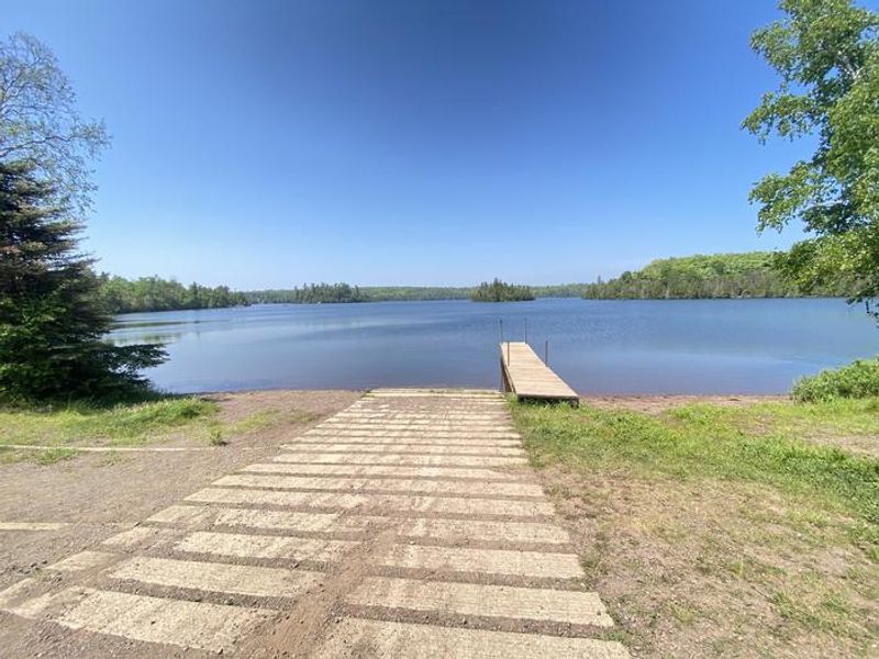
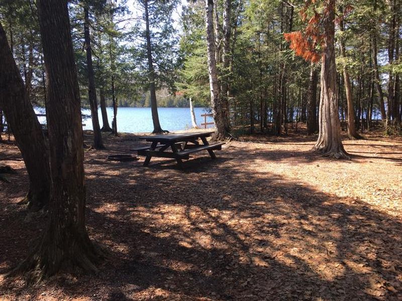
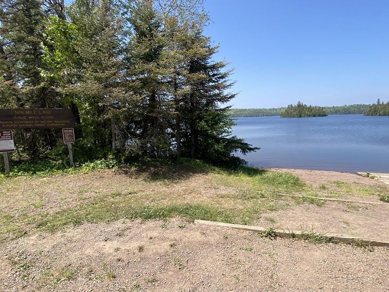
Ninemile Lake Campground sits along the shores of a 300-acre lake in Minnesota's Superior National Forest, offering a quintessential northwoods camping experience. The campground provides 26 sites split evenly between reservable and first-come, first-served options. All sites are back-in only and most accommodate small RVs under 24 feet. A concrete boat ramp provides direct access to Ninemile Lake, which features numerous islands and hidden bays to explore. The lake is a popular fishing destination for walleye, northern pike, largemouth bass, and panfish. For those seeking land-based recreation, a 0.5-mile maintained hiking trail through boreal hardwoods begins directly across the road from the campground entrance. Birding opportunities abound in this mixed forest habitat. North of the campground on County Road 7, there is also portage access to Echo Lake and Goldeneye Lake for extended paddling adventures. Facilities include vault toilets, a solar-powered drinking water pump, fire rings at each site, picnic tables, and trash collection. Pets are welcome but must be leashed at all times and kept in a tent or vehicle at night. Quiet hours are enforced from 10 p.m. to 6 a.m.
Directions
From MN 61 at Schroeder, turn onto County Road 1 (Cramer Road). Follow County Road 1 (which becomes County Road 8) about 10 miles to County Road 7. Turn right on County Road 7 and go 4 miles; the campground entrance is on the left. Alternatively, from MN 61 north of Silver Bay, take MN 1 to Finland, then take County Road 7 to Ninemile Lake on the left.
Nearby Campgrounds
Amenities
| Water | No |
| Fires Allowed | Yes |
| Toilets | Yes |
| Dump Station | — |
| Wifi | — |
| Pets Allowed | Yes |
| Showers | No |
| Electric Hookups | — |
| Water Hookups | — |
| Sewer Hookups | — |
| Camp Store | — |
| Price | $18 |
Vehicle
| Max RV Length | 24ft |
| Max Trailer Length | — |
| Big Rig Friendly | No |
| Pull Through Sites | No |
Contact
| Phone | +1 (218) 663-8063 |
Cell Service
| AT&T | None |
| Verizon | None |
| T-Mobile | None |
Useful Links
| View on Recreation.gov | |
| Superior NF Campground Info |
Availability
Photos

Community Posts
No posts yet. Be the first to share your experience!