Molino Basin Campground
Closed for the season. The campground operates November 1 through April 30 and reopens in fall when cooler temperatures return. Individual sites are first-come, first-served; the group site is reservable through Recreation.gov.
Wind Advisory issued October 9 at 9:19AM MST until October 11 at 11:00PM MST by NWS Tucson AZ
* WHAT...A strong weather disturbance along the West Coast will get re-inforced by a decaying tropical system this weekend resulting in strong sustained south to southwest winds 25 to 35 mph with gusts to around 45 mph. The strongest wind gusts will occur near showers and thunderstorms. * WHERE...Baboquivari Mountains, Catalina and Rincon Mountains, Southeast Pinal County, Tucson Metro Area, and Upper Santa Cruz River Valley/Altar Valley. * WHEN...From 7 AM to 11 PM MST Sunday. * IMPACTS...Gusty winds will blow around unsecured objects. Tree limbs could be blown down and a few power outages may result.
Border Barrier Construction Closure
Going into or being upon the Described Area.
About
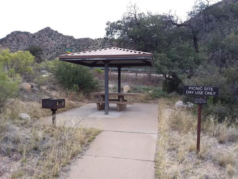
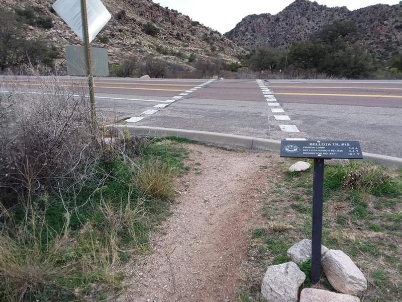
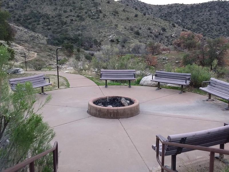
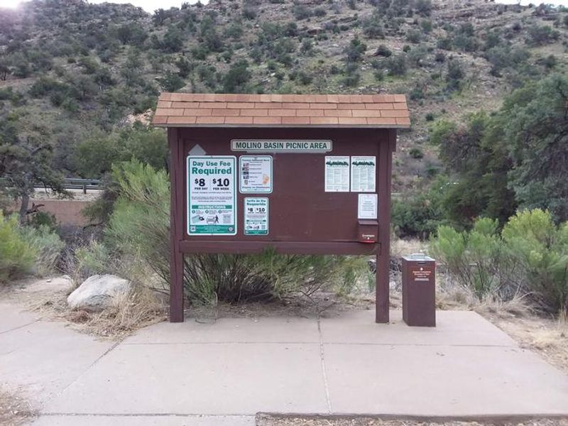
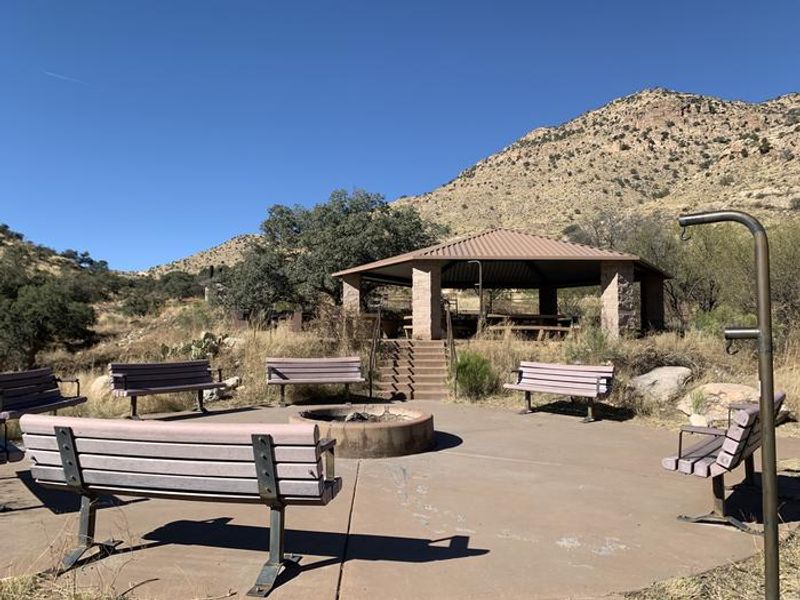
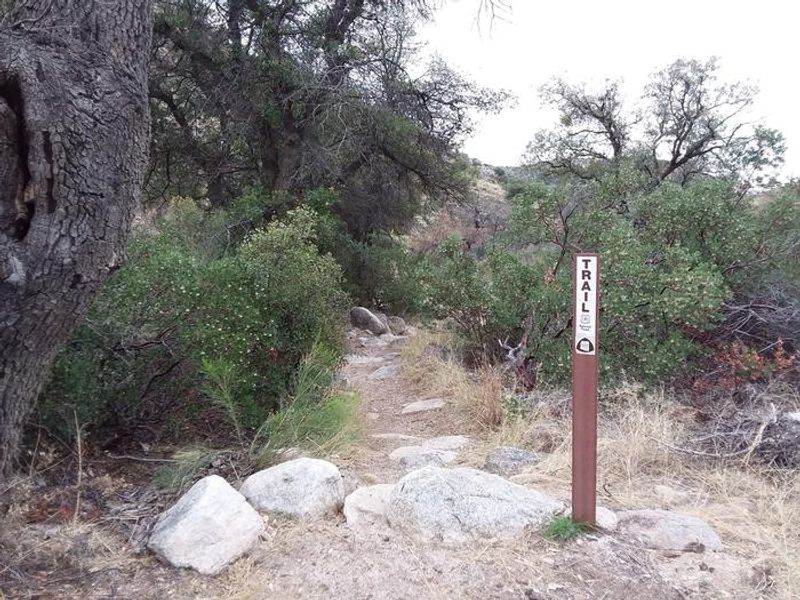
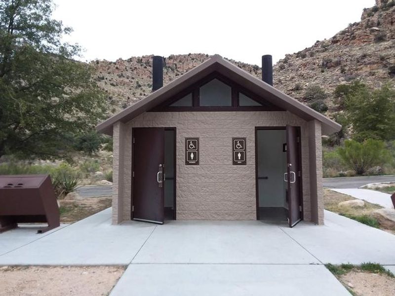
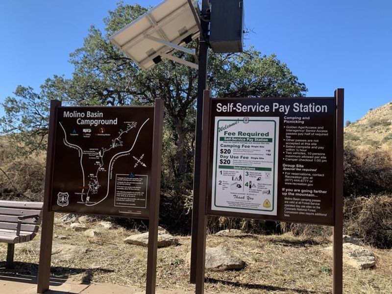
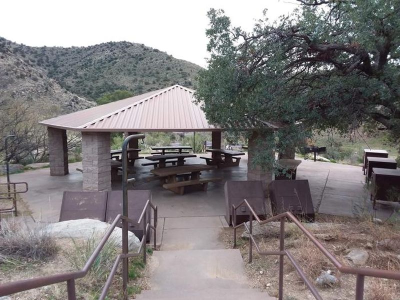
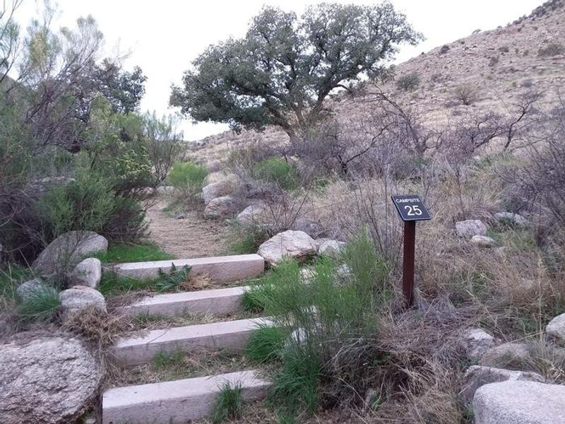
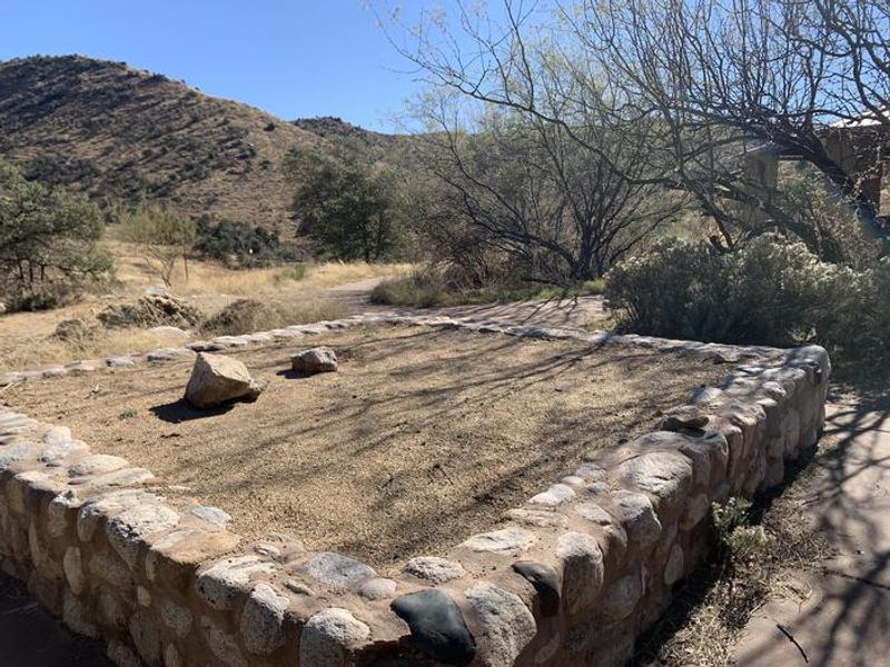
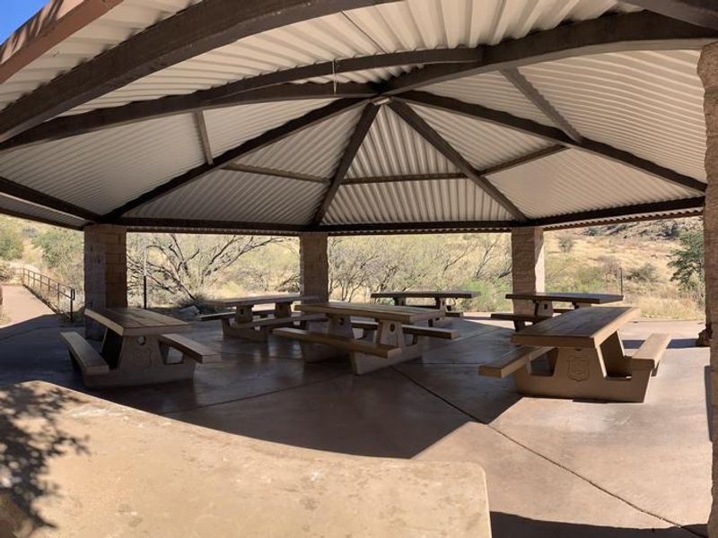
Molino Basin Campground occupies a unique niche in the Coronado National Forest recreation system, operating during the cooler months when higher-elevation Catalina campgrounds are closed. Located 5.5 miles up the Catalina Highway from the forest boundary, the campground sits at 4,500 feet in a savannah landscape of desert grassland punctuated by Arizona live oaks, mesquite, and cottonwoods along Molino Creek. The campground offers 37 individual sites on a first-come, first-served basis for $20 per night, plus a reservable group site accommodating up to 70 people for $100 per night plus $10 per vehicle. All roads are paved and accessible by two-wheel drive vehicles. RVs and trailers under 22 feet are permitted, though no hookups or dump station are available. The Arizona Trail passes through the campground, connecting hikers, bikers, and equestrians to routes extending from Mexico to Utah. The Molino Trail provides access to the Pusch Ridge Wilderness for hiking and horseback riding. Campers must bring their own water, as none is available on site. Vault toilets and trash service are provided. Fires are permitted in established fire rings when no restrictions are in effect.
Directions
From Tucson, take Catalina Highway (also called General Hitchcock Highway) northeast off Tanque Verde Road. Drive 4.2 miles to the Coronado National Forest boundary, then continue 5.7 miles to the campground entrance between mileposts 5 and 6. All campsite roads are paved and accessible by two-wheel drive vehicles.
Nearby Campgrounds
Amenities
| Water | No |
| Fires Allowed | Yes |
| Toilets | Yes |
| Dump Station | — |
| Wifi | No |
| Pets Allowed | Yes |
| Showers | No |
| Electric Hookups | — |
| Water Hookups | — |
| Sewer Hookups | — |
| Camp Store | No |
| Price | $100 |
Vehicle
| Max RV Length | 22ft |
| Max Trailer Length | 22ft |
| Big Rig Friendly | No |
| Pull Through Sites | No |
Contact
| Phone | +1 (520) 388-8300 |
Cell Service
| AT&T | None |
| Verizon | Yes |
| T-Mobile | None |
Availability
Photos
Community Posts
No posts yet. Be the first to share your experience!