Meyers Creek Cabin
Open for the 2026 season from May 1 through November 27. Reservations are required via Recreation.gov. DeCon poison is used in the cabin for mouse control; take hantavirus precautions.
Red Flag Warning issued October 9 at 12:48AM MDT until October 9 at 9:00PM MDT by NWS Billings MT
* IMPACTS: Low humidities, unseasonably warm temperatures, and strong gusty winds will create erratic fire behavior and rapid spread for new or existing fires. * AFFECTED AREA: In North Central WY Fire Zones...274...284. In South Central MT Fire Zones...123...124...126. * COUNTIES AFFECTED: In Central MT...Wheatland. In North Central WY...Big Horn...Johnson...Sheridan...Washakie. In South Central MT...Carbon...Park...Stillwater...Sweet Grass. In Southwest MT...Gallatin. * WIND: Southwest 15 to 30 mph with gusts up to 45 mph. * HUMIDITY: As low as 7 percent. * TEMPERATURES: 84 to 90 degrees, warmest over Zone WY274. * ADDITIONAL DETAILS: The worst conditions are expected across the lower to middle elevations in fine fuels. The strongest winds are expected in mountain locations and the foothills west of Billings. Zone WY274 will see lower wind gusts of 15 to 25 mph.
Winter Storm Watch issued October 9 at 12:39AM MDT until October 12 at 6:00AM MDT by NWS Billings MT
* WHAT...Heavy snow and blowing snow possible. Total snow accumulations greater than 12 inches possible. Winds could gust as high as 35 mph. * WHERE...Absaroka/Beartooth Mountains and Crazy Mountains. * WHEN...From Saturday evening through late Sunday night. * IMPACTS...Travel could be very difficult to impossible over the Beartooth Pass, and in and around Cooke City. Recreation in the back country will be impacted. * ADDITIONAL DETAILS...
About
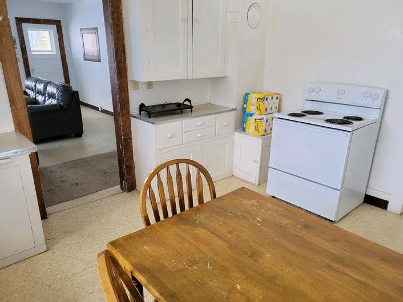
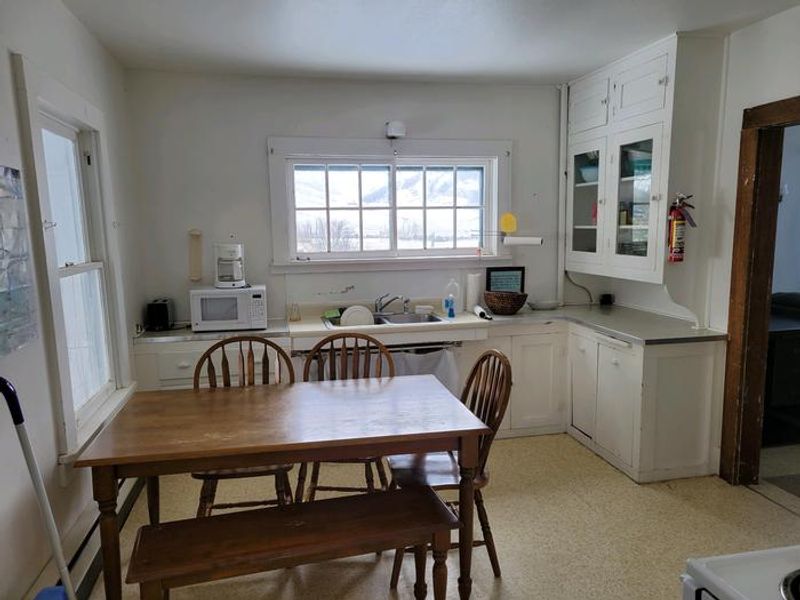
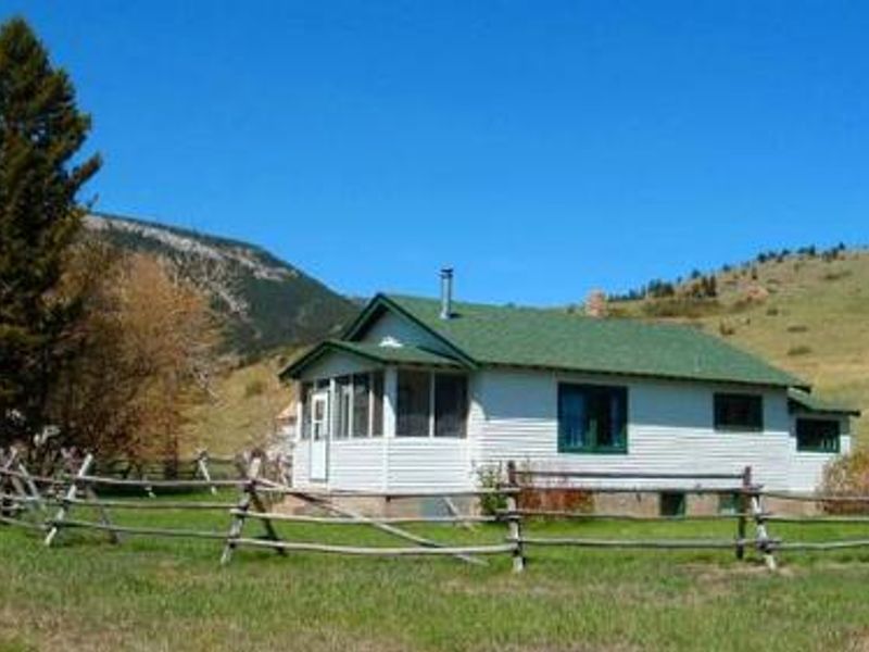
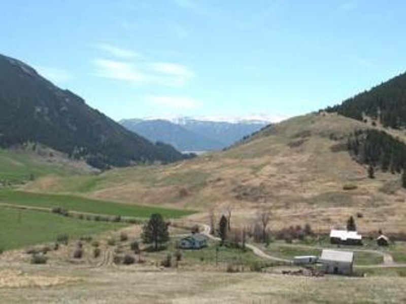
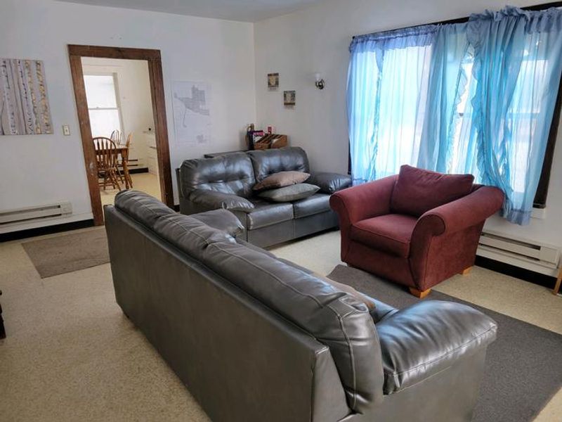
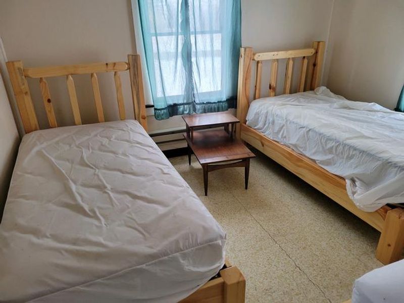
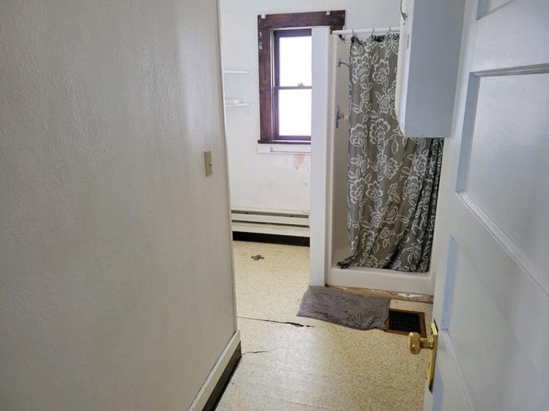
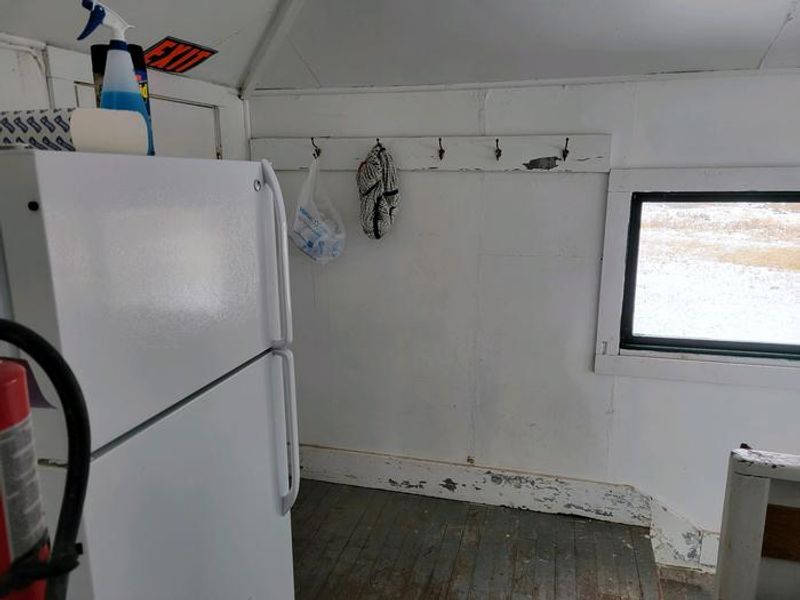
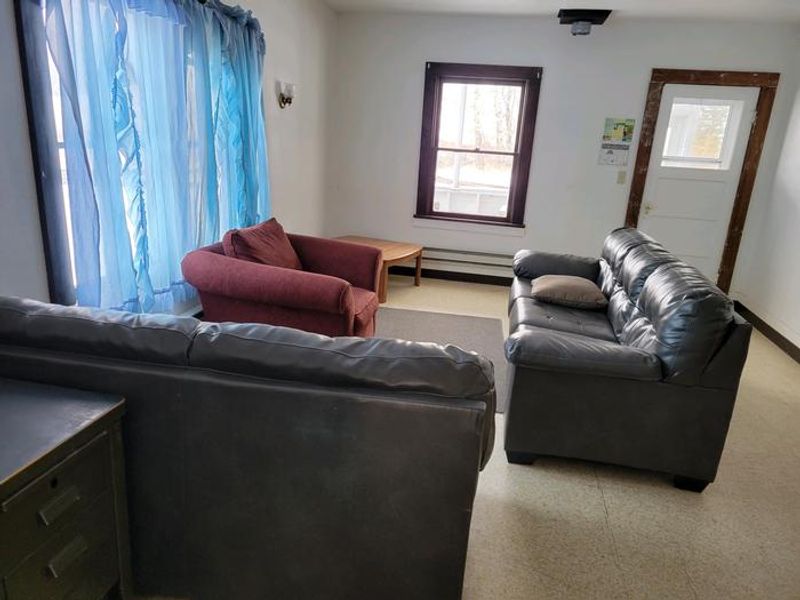
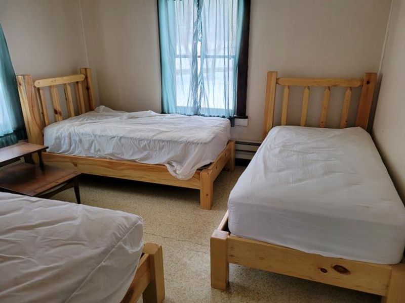
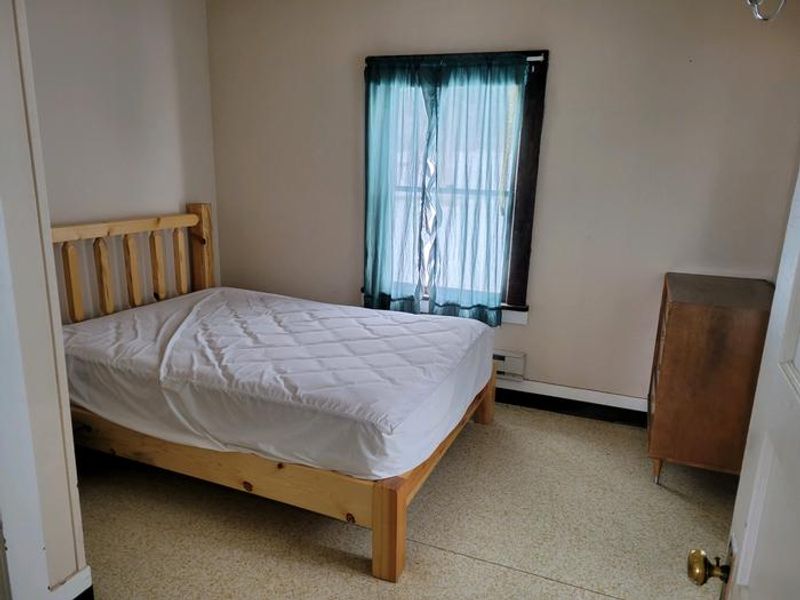
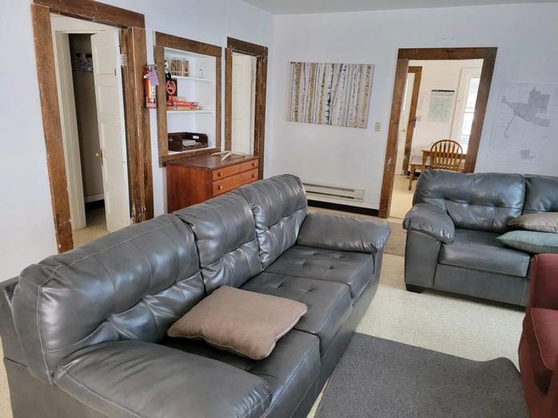
Meyers Creek Cabin is an historic ranger station that has served the Forest Service since 1906, now available for public rental. Located at 5,646 feet in the western Beartooth Mountains, the cabin sits within the Meyers Creek Work Center surrounded by pastures, pine, aspen, and sagebrush-covered slopes. Roses, irises, rhubarb, and lilacs grow around the dwelling, with wildflowers blooming through summer. The cabin sleeps 6 guests with 3 single mattresses and one double bed. Indoor amenities include a flush toilet, shower, electric heat, refrigerator, cook stove, and basic cookware, dishes, and utensils. Guests must bring their own bedding and towels. Outside, a campfire ring and picnic table are provided. Equestrians will appreciate the corral, watering tank, and hitching rails. Trails crisscross the surrounding area, including Meyers Creek and Lodgepole Creek Trails for hiking, mountain biking, and horseback riding. Rainbow and brown trout can be caught in nearby creeks. The Stillwater River Trailhead with access to the Absaroka-Beartooth Wilderness is 16 miles south. Bear activity is common; proper food storage is required.
Directions
From Absarokee, take State Highway 78 south 3 miles to the junction with State Highway 419. Turn west and follow Highway 419 for 21 miles to Nye. Turn north following directional signs for 1 mile. At the Y intersection, turn left (west) and travel approximately 5 miles. Turn north at the Meyers Creek/Picket Pin Road intersection and follow the road for 2 miles, then turn left into Meyers Creek Work Center.
Location
Amenities
| Water | Yes |
| Fires Allowed | Yes |
| Toilets | Yes |
| Dump Station | No |
| Wifi | No |
| Pets Allowed | No |
| Showers | Yes |
| Electric Hookups | — |
| Water Hookups | — |
| Sewer Hookups | — |
| Camp Store | No |
| Price | $90 |
Vehicle
| Max RV Length | — |
| Max Trailer Length | — |
| Big Rig Friendly | No |
| Pull Through Sites | No |
Contact
| gccampgrounds13@gmail.com | |
| Phone | +1 (406) 446-2103 |
Cell Service
| AT&T | Yes |
| Verizon | Yes |
| T-Mobile | None |
Availability
Photos
Community Posts
No posts yet. Be the first to share your experience!