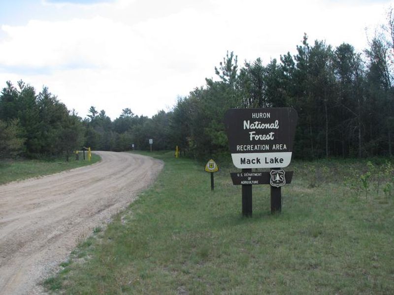
Mack Lake Orv Campground
Open for the season May 1 through November 30. Some sites are reservable via Recreation.gov; others are first-come, first-served. The campground is gated during the off-season.
About
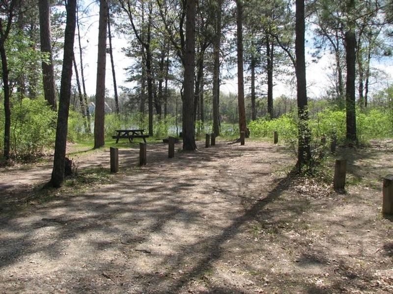
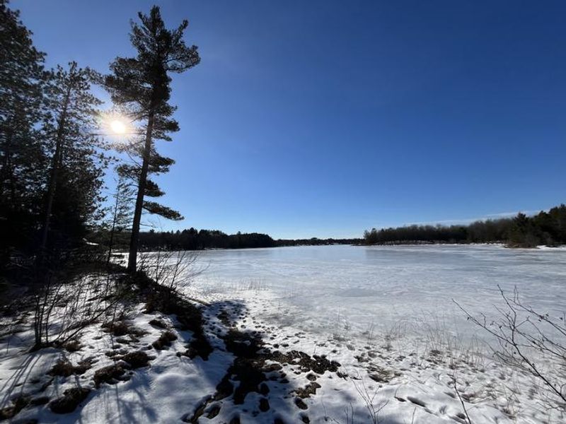
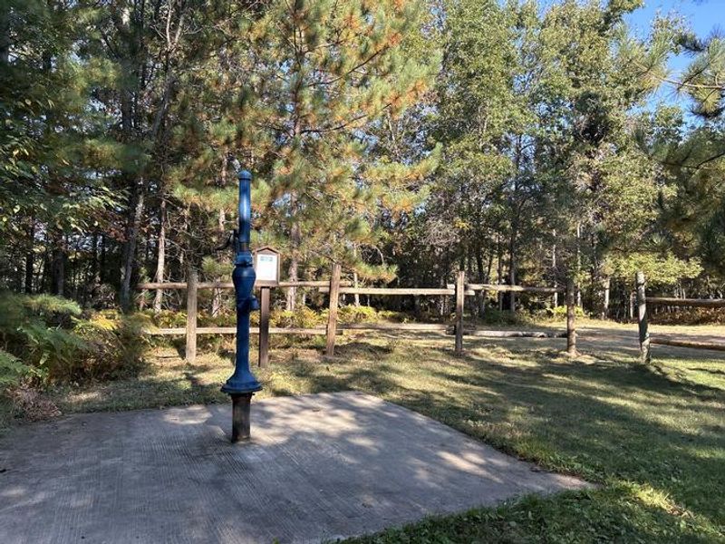
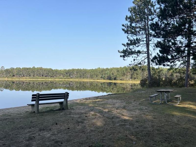
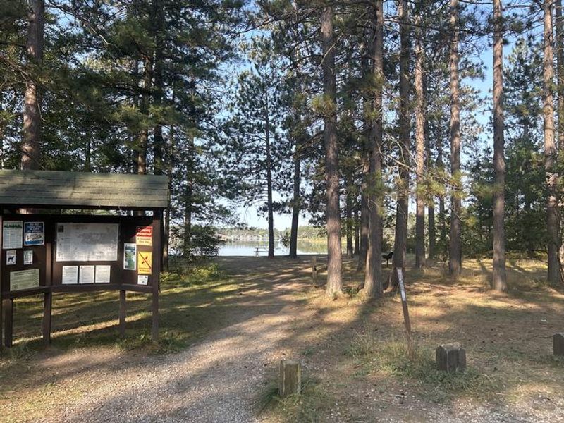
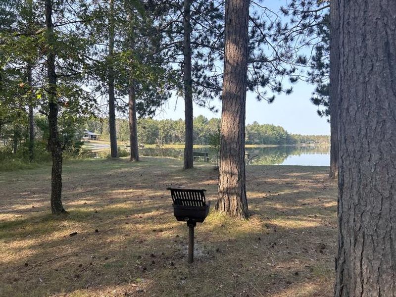
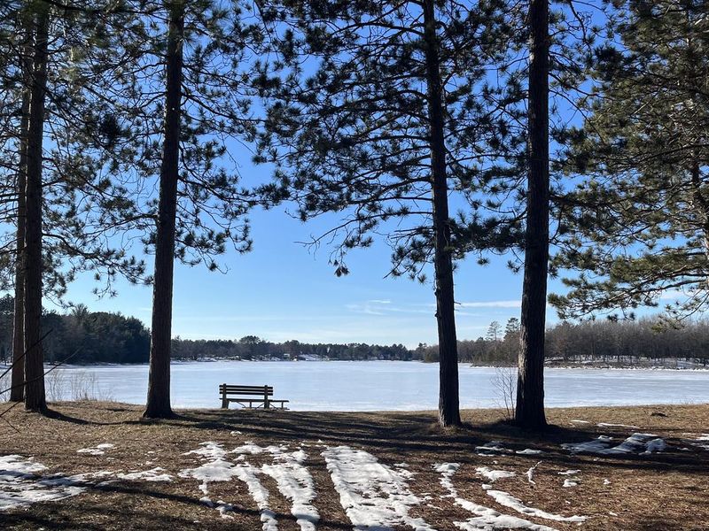
Mack Lake ORV Campground sits on the shores of 175-acre Mack Lake in Michigan's Huron National Forest, southeast of Mio. The 42-site campground is the largest on the Mio Ranger District and serves as a hub for ORV enthusiasts, with the Mack Lake Trail System trailhead located directly within the campground. Riders can explore easier terrain near Maltby Hills or challenge themselves at Bull Gap Hill Climb. Each campsite includes a picnic table, fire ring, and lantern post. Drinking water is available from hand pumps, and vault toilets are located throughout the campground. An embedded day-use area within the Beaver Loop provides a swimming beach marked with buoys, picnic facilities with grills, and carry-in boat access. Anglers can fish for sunfish, perch, and walleye. The campground is surrounded by rolling jack pine plains, offering good wildlife viewing opportunities. Sites accommodate RVs and trailers up to 65 feet on gravel driveways. All sites are non-electric back-in sites.
Directions
From Grayling: Travel east on M-72 for 30 miles. Turn right and travel south on M-33 for 6 miles. Turn left and travel east on County Rd. 604 for 4 miles. Turn left and travel north on FR 4460 for 1 mile. Turn left and travel west on County Rd. 489 for 1 mile.
Nearby Campgrounds
Amenities
| Water | Yes |
| Fires Allowed | Yes |
| Toilets | Yes |
| Dump Station | — |
| Wifi | No |
| Pets Allowed | — |
| Showers | No |
| Electric Hookups | — |
| Water Hookups | — |
| Sewer Hookups | — |
| Camp Store | No |
| Price | $15 |
Vehicle
| Max RV Length | 65ft |
| Max Trailer Length | 65ft |
| Big Rig Friendly | Yes |
| Pull Through Sites | No |
Contact
| sm.fs.hmnf@usda.gov | |
| Phone | +1 (989) 826-3252 |
Cell Service
| AT&T | None |
| Verizon | None |
| T-Mobile | None |
Useful Links
| View on Recreation.gov | |
| USFS Mack Lake ORV Campground |
Availability
Photos

Community Posts
No posts yet. Be the first to share your experience!