Open
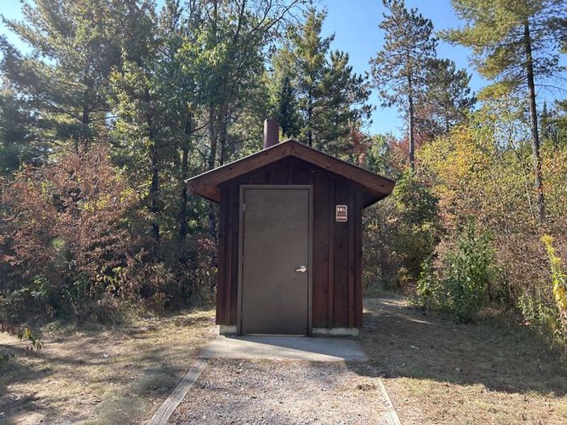
Open year-round. Not maintained December 1 through April 30 with no plowed access, no toilet facilities available, and water shut off for winter. Some sites are first-come, first-served while others are reservable through Recreation.gov.
About
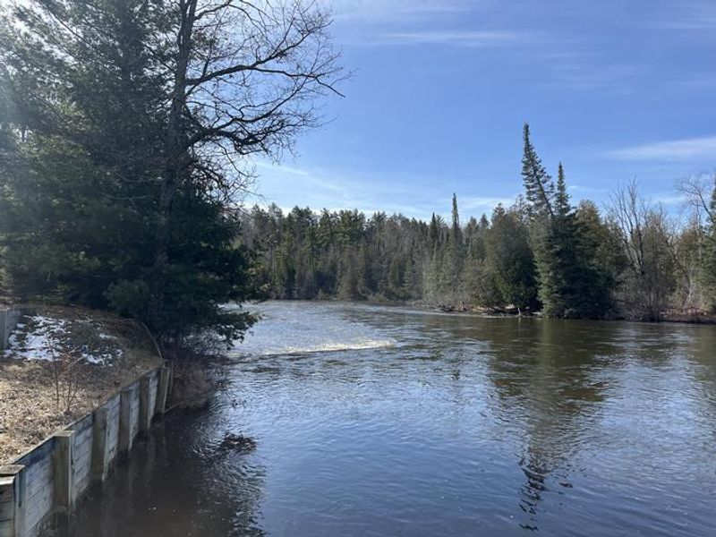
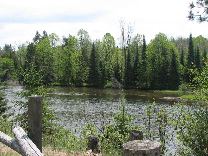
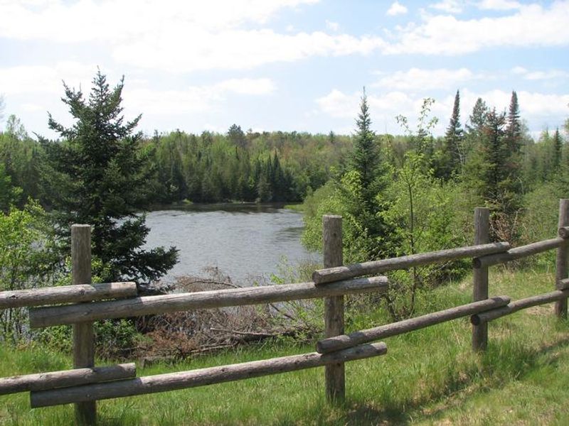
Located near the banks of the Au Sable National Scenic River, Au Sable Loop Campground is a haven for water-based recreation. This intimate 5-site campground sits amidst a mixed hardwood forest and offers visitors a panoramic vista of the National Scenic portion of the river. Access to the Au Sable River is provided by a short path from the campground, where anglers can fish for bass, pike, brown trout, walleye, perch, sunfish, steelhead, and salmon.
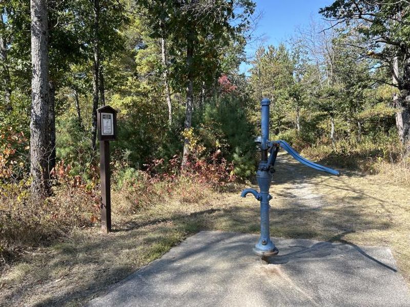
The campground provides basic amenities including vault toilets, potable water from a hand pump, and trash collection services. Each campsite features a picnic table, campfire ring, and lantern post. The area is excellent for wildlife viewing, with habitats supporting bald eagles, deer, bear, bobcat, porcupine, and various songbirds and waterfowl.
Nearby hiking options include the 0.5-mile Mio Nature Trail on the north side of the river and the 4.5-mile Wolf Creek Trail on the south side. Non-motorized watercraft such as canoes, kayaks, and rafts can be rented locally at Hinchman's Acres Resort in Mio or Alcona Canoe Rental in Glennie.
Directions
From Grayling: Travel east on M-72 for 30 miles. Turn left and go north on M-72/M-33 for 0.5 miles. Turn right and go east on McKinley Rd for 3 miles. Turn right and follow the signs to the site.