Lightning Point Group Campground
Closed until further notice. The National Forest Foundation is rehabilitating this campground. When operational, the campground typically opens the third weekend in April through October 31, weather permitting.
National Forest System Roads
Follow California Vehicle Code on National Forest System Roads
Fireworks and Explosives are always Prohibited
Fireworks and explosives (including explosive targets) are always prohibited on national forest lands. The prohibition of fireworks and exploding targets on national forest system lands is part of a set of permanent fire safety regulations in the Code of Federal Regulations (CFR), listed below.…
About
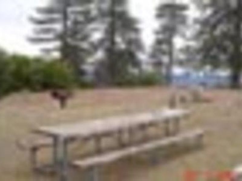
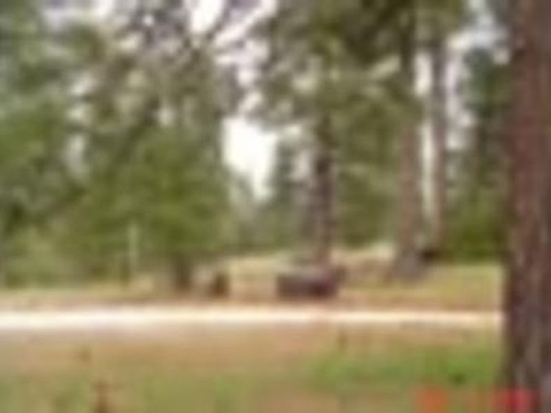
Lightning Point Group Campground is nestled in a forest of Jeffrey pine, scrub oaks, and manzanita in Angeles National Forest, within the San Gabriel Mountains National Monument. Located 25 miles southeast of Palmdale and 35 miles north of the San Fernando Valley, the campground offers six group sites with a combined capacity of approximately 240 campers. Sites 5 and 6 are designed for equestrian use, each featuring six horse corrals. The campground sits at 6,200 feet elevation, providing average summer temperatures in the low 80s with cool nights. Hiking on the nearby Pacific Crest National Scenic Trail is a favorite activity, with the trail stretching from Canada to Mexico and showcasing six of North America's seven ecozones. Bird watching and horseback riding are also popular pursuits. This is a primitive, pack-in/pack-out facility with no potable water or restrooms. Campers must bring their own drinking water, portable toilets, and garbage bags. The area is behind a locked gate and typically operates from the third weekend in April through October 31, weather permitting.
Directions
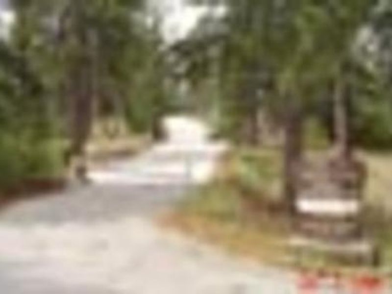
From Interstate 210 in La Canada, exit onto the Angeles Crest Highway (HWY 2) and drive northeast for approximately 10 miles to the intersection with the Angeles Forest Highway (County Road N3). Turn left (north) onto the Angeles Forest Highway and drive approximately 12 miles to the Santa Clara Divide Road at Mill Creek Summit. Turn left (west) onto the Santa Clara Divide and continue for about 11 miles to the campground.
Amenities
| Water | No |
| Fires Allowed | Yes |
| Toilets | No |
| Dump Station | No |
| Wifi | No |
| Pets Allowed | — |
| Showers | No |
| Electric Hookups | — |
| Water Hookups | — |
| Sewer Hookups | — |
| Camp Store | No |
| Price | $80 - $100 |
Vehicle
| Max RV Length | — |
| Max Trailer Length | — |
| Big Rig Friendly | No |
| Pull Through Sites | — |
Contact
| Phone | +1 (818) 899-1900 |
Cell Service
| AT&T | None |
| Verizon | Yes |
| T-Mobile | None |
Photos
Community Posts
No posts yet. Be the first to share your experience!