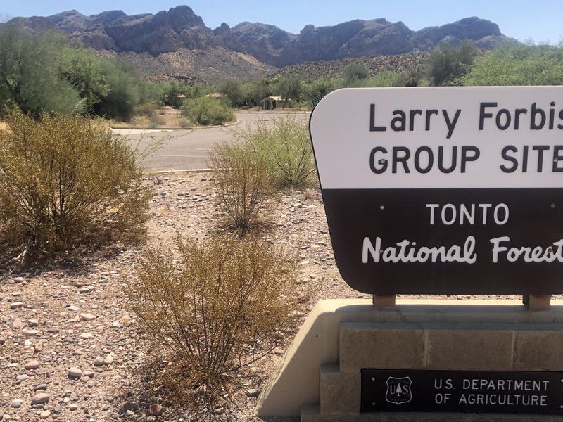
Larry Forbis Day Use Group Site
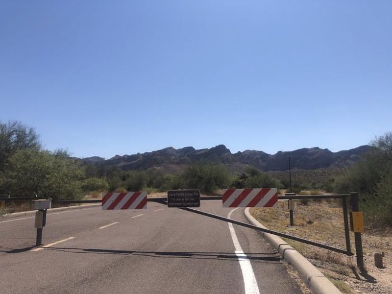
This is a day-use only facility with no overnight camping. The site typically operates April through September. Currently showing as closed; reservations are not available for the next 7 days.
Flood Warning issued November 17 at 8:21AM MST until November 24 at 11:00AM MST by NWS Phoenix AZ
* WHAT...Flooding caused by upstream dam release continues. * WHERE...Maricopa County in south central Arizona... Northeastern Yuma County in southwestern Arizona... * WHEN...Until 1100 AM MST Tuesday Nov 24. * IMPACTS...Flooding of rivers, creeks, streams, and other low-lying and flood-prone locations is expected. Low-water crossings are likely to become inundated with water and may not be passable. * ADDITIONAL DETAILS... - At 815 AM MST, water releases from Painted Rock Dam continue with flow peaking around 3000 cfs. A streamflow gauge immediately downstream also indicated a stage near 10 feet. - Flooding is expected along the Gila River. - Some locations that will experience flooding include... Farmlands and low-water crossings along the Gila River. - http://www.weather.gov/safety/flood
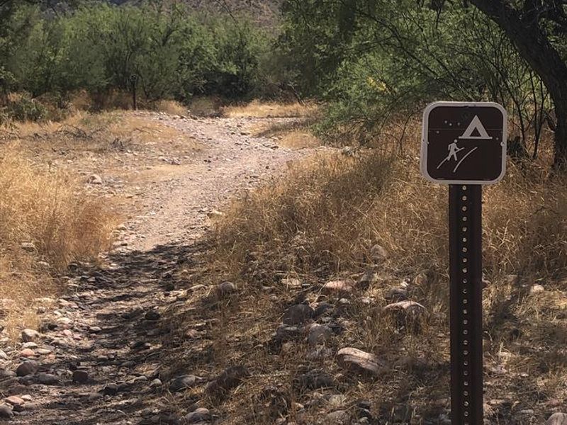
Telegraph Line Trail (NFST 42) and NFST 1069 Emergency Closure for Public Safety
Due to public safety the Telegraph Line Trail (NFST 42) and NFST 1069 are closed.
Rattlesnake Cove Developed Recreation Site - Post Flood Recovery and Public Safety Closure
Rattlesnake Cove Recreation Closure
About
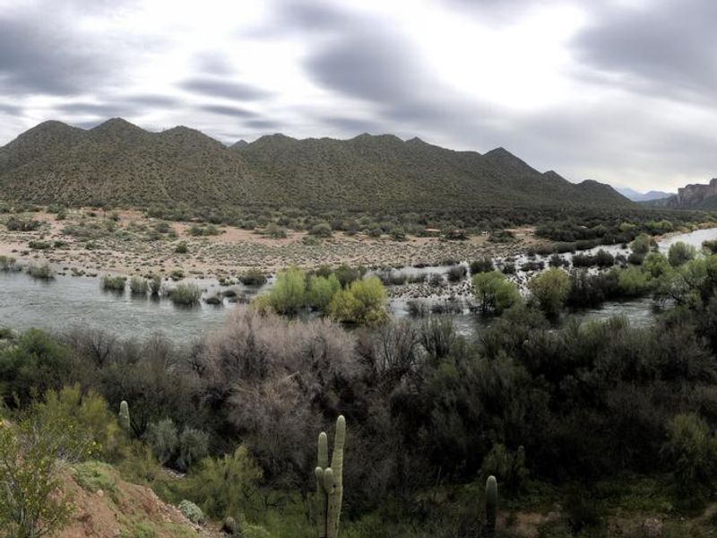
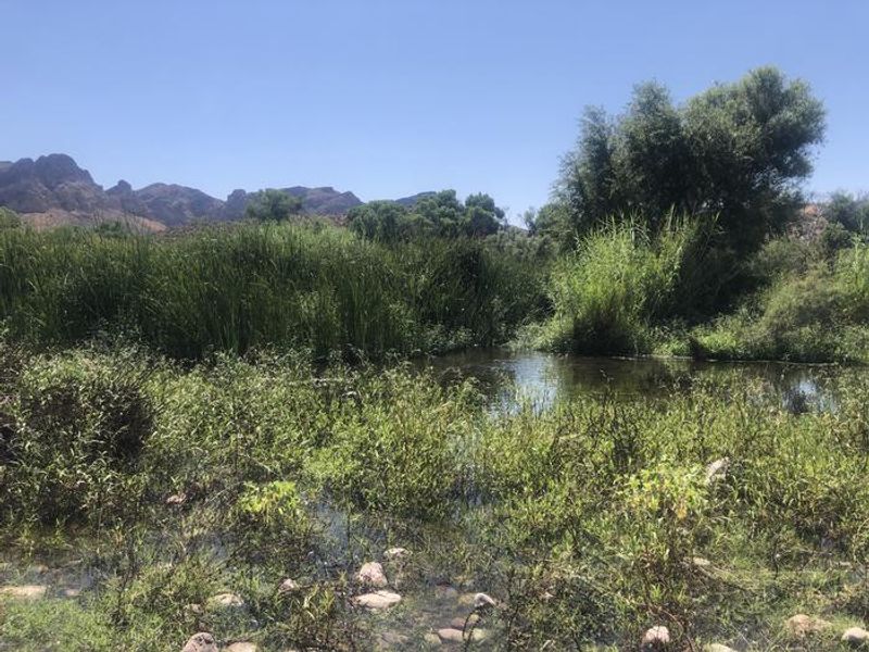
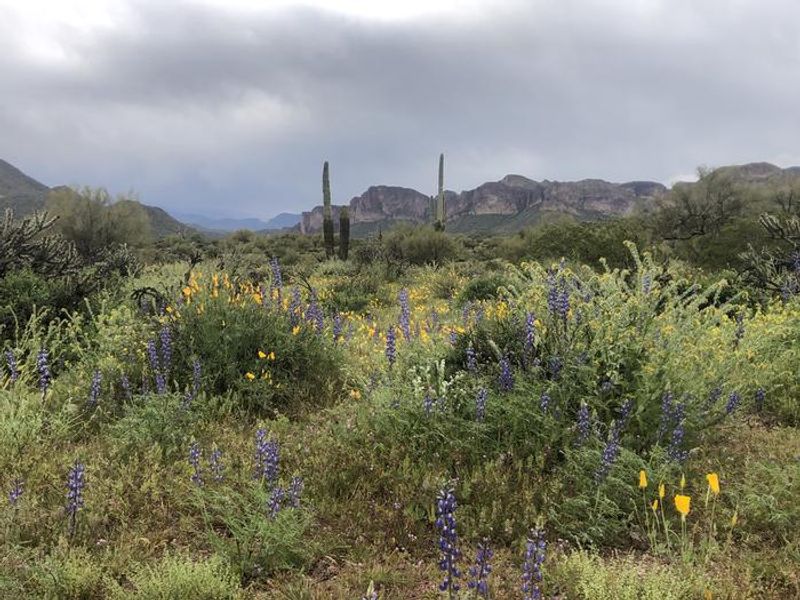
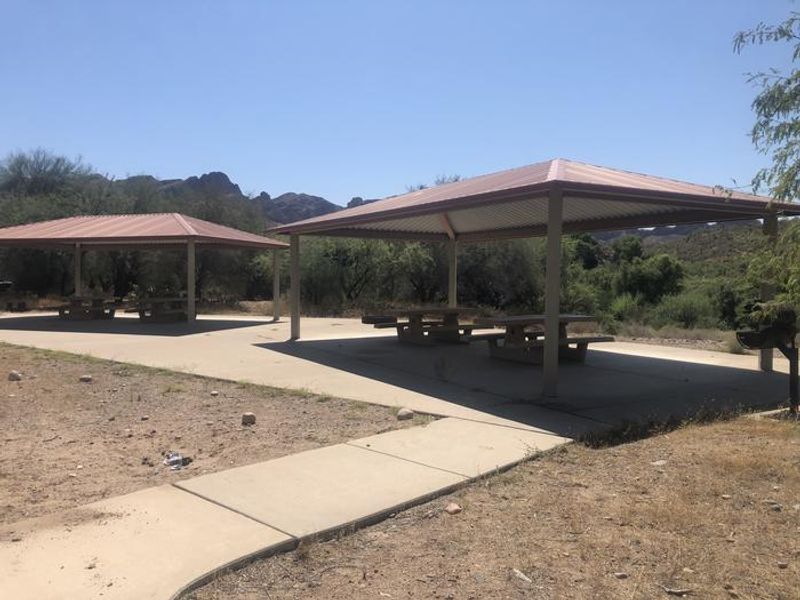
Larry Forbis Day Use Group Site is a reservable group day-use area in Tonto National Forest, located just outside the Phoenix metropolitan area on the Lower Salt River. The site sits among iconic saguaro and prickly pear cacti with dramatic views of the nearby Bulldog Cliffs. It is designed exclusively for daytime group use; overnight camping is not permitted at this facility. The site consists of three reservable units (A, B, and C), each equipped with 2 large ramadas, 4 picnic tables, 4 pedestal grills, 3 fire rings, and 10 designated parking stalls. Two vault toilets serve the site. Groups of up to 75 people and 10 vehicles can be accommodated. No potable water is available; visitors must bring their own drinking water. Access is through Pebble Beach Recreation Site via Bush Highway from Mesa. The adjacent Lower Salt River offers fishing, kayaking, paddleboarding, and wildlife viewing opportunities. The riparian corridor supports cottonwoods and habitat for great blue heron, bass, and various desert wildlife. Note: there is a separate Larry Forbis Overnight Group Site at this location that operates October through March for overnight camping.
Directions
From Mesa via Power Road: Take Power Road north until it becomes Bush Highway, continue approximately 9 miles. After crossing the bridge, enter Pebble Beach Recreation Site on the right. Follow the entry road south to a double-sided gate and use the combination provided in your reservation. From Highway 87 (Beeline Highway): Take the Bush Highway exit heading south, follow for approximately 7.5 miles, turn into Pebble Beach Recreation Site on the left just before the bridge.
Amenities
| Water | No |
| Fires Allowed | Yes |
| Toilets | Yes |
| Dump Station | No |
| Wifi | No |
| Pets Allowed | — |
| Showers | No |
| Electric Hookups | — |
| Water Hookups | — |
| Sewer Hookups | — |
| Camp Store | No |
| Price | $75 |
Vehicle
| Max RV Length | — |
| Max Trailer Length | — |
| Big Rig Friendly | — |
| Pull Through Sites | No |
Contact
| Phone | +1 (480) 610-3300 |
Cell Service
| AT&T | None |
| Verizon | Yes |
| T-Mobile | Yes |
Availability
Photos
Community Posts
No posts yet. Be the first to share your experience!