Cave Creek Group Site
Open year-round. Reservations required through Recreation.gov, bookable 1 day to 12 months in advance. Stage 1 Fire Restrictions are currently in effect. Use caution during rainy season as the area is prone to flash flooding.
Flood Warning issued November 17 at 8:21AM MST until November 24 at 11:00AM MST by NWS Phoenix AZ
* WHAT...Flooding caused by upstream dam release continues. * WHERE...Maricopa County in south central Arizona... Northeastern Yuma County in southwestern Arizona... * WHEN...Until 1100 AM MST Tuesday Nov 24. * IMPACTS...Flooding of rivers, creeks, streams, and other low-lying and flood-prone locations is expected. Low-water crossings are likely to become inundated with water and may not be passable. * ADDITIONAL DETAILS... - At 815 AM MST, water releases from Painted Rock Dam continue with flow peaking around 3000 cfs. A streamflow gauge immediately downstream also indicated a stage near 10 feet. - Flooding is expected along the Gila River. - Some locations that will experience flooding include... Farmlands and low-water crossings along the Gila River. - http://www.weather.gov/safety/flood
Telegraph Line Trail (NFST 42) and NFST 1069 Emergency Closure for Public Safety
Due to public safety the Telegraph Line Trail (NFST 42) and NFST 1069 are closed.
Rattlesnake Cove Developed Recreation Site - Post Flood Recovery and Public Safety Closure
Rattlesnake Cove Recreation Closure
About
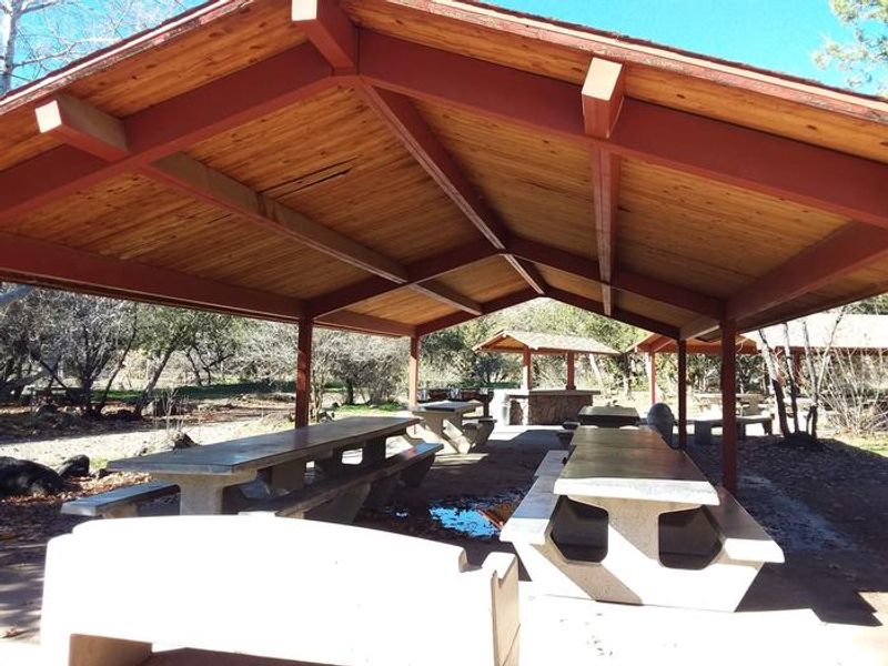
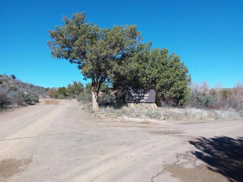
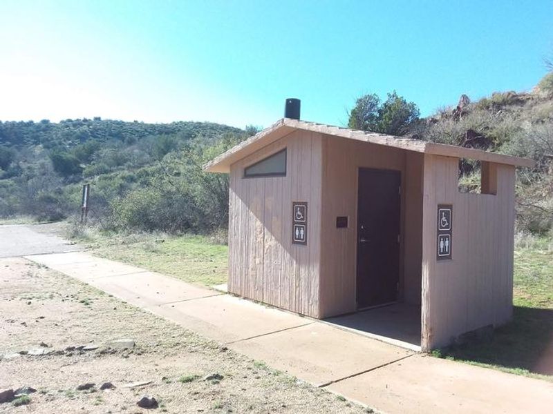
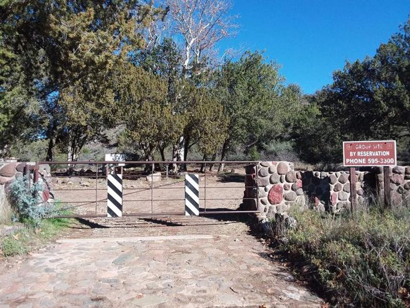
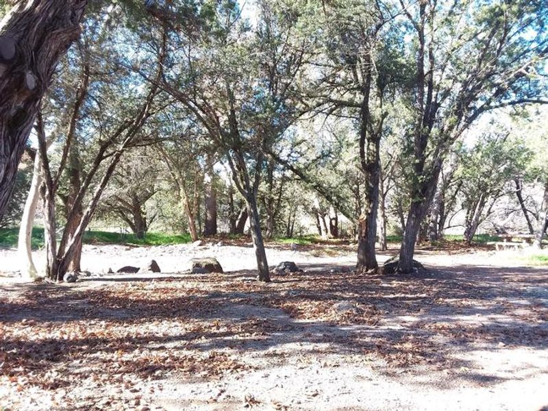
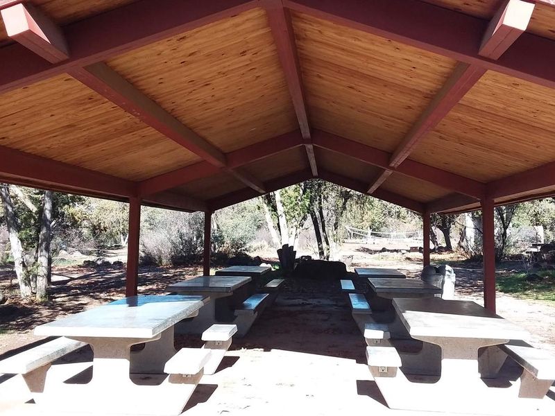
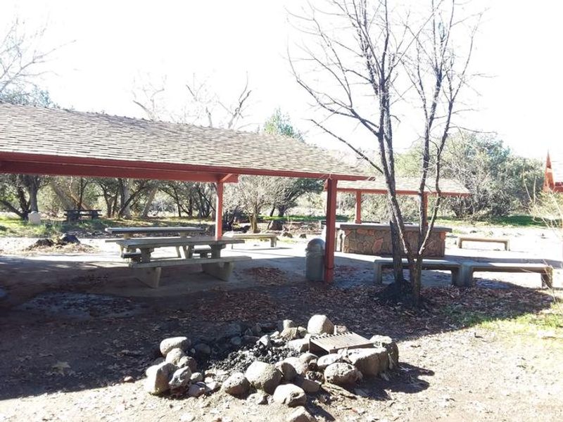
Cave Creek Group Site is a historic campground constructed in 1934 by the Civilian Conservation Corps, nestled in a narrow valley of juniper and sycamore trees in Tonto National Forest. Located 19 miles north of Carefree, Arizona, the site offers a cooler retreat from the Phoenix heat with abundant shade and proximity to Cave Creek. The group area accommodates up to 150 people with parking for 40 vehicles. Facilities include 12 stoneware picnic tables, three central grills, a covered food prep area with serving table, two large covered ramadas, and a central campfire area. A game area provides space for volleyball and horseshoes. Vault toilets and trash service are provided, but there is no potable water, so campers must bring their own supply. Across the road, Cave Creek Trailhead offers access to over 48 miles of hiking and mountain biking trails suitable for overnight backpacking. Seven miles south lies Sears-Kay Ruin, a National Register site featuring remains of an ancient Native American hilltop village. The last 9 miles of Forest Road 24 is a narrow, all-weather gravel road with blind curves; trailers over 16 feet are not recommended.
Directions
From Carefree, take Cave Creek Road (Forest Road 24) north for 19 miles to Seven Springs Day-use Area. Continue less than half a mile to the turn-off to the group site. The last 9 miles of FR 24 is an all-weather gravel road that is narrow with blind curves.
Amenities
| Water | No |
| Fires Allowed | Yes |
| Toilets | Yes |
| Dump Station | No |
| Wifi | — |
| Pets Allowed | Yes |
| Showers | No |
| Electric Hookups | — |
| Water Hookups | — |
| Sewer Hookups | — |
| Camp Store | — |
| Price | $75 |
Vehicle
| Max RV Length | — |
| Max Trailer Length | 16ft |
| Big Rig Friendly | No |
| Pull Through Sites | No |
Contact
| Phone | +1 (480) 595-3300 |
Cell Service
| AT&T | None |
| Verizon | Yes |
| T-Mobile | None |
Availability
Photos
Community Posts
No posts yet. Be the first to share your experience!