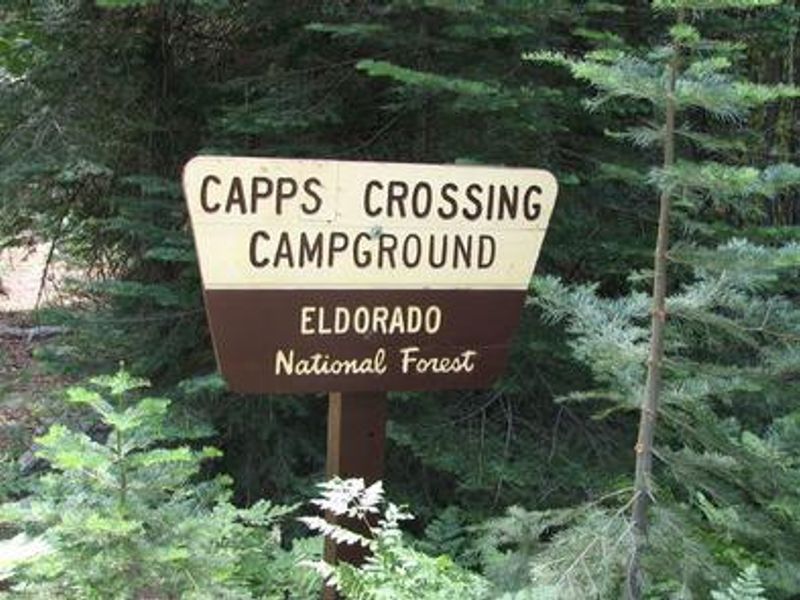
Capps Crossing
Closed indefinitely due to Caldor Fire damage under Forest Order 03-24-03. No reopening date has been announced.
National Forest System Roads
Follow California Vehicle Code on National Forest System Roads
Fireworks and Explosives are always Prohibited
Fireworks and explosives (including explosive targets) are always prohibited on national forest lands. The prohibition of fireworks and exploding targets on national forest system lands is part of a set of permanent fire safety regulations in the Code of Federal Regulations (CFR), listed below.…
Fire Restrictions are in Effect Forest Wide
Fire Restrictions are in effect forest wide. No campfires except in existing stoves, charcoal grills, or fire rings provided in the Recreation Sites listed in Exhibit A in the Forest Order and actively serviced by a camp host.No charcoal firesCamp stoves, lanterns and propane fire rings are…
About
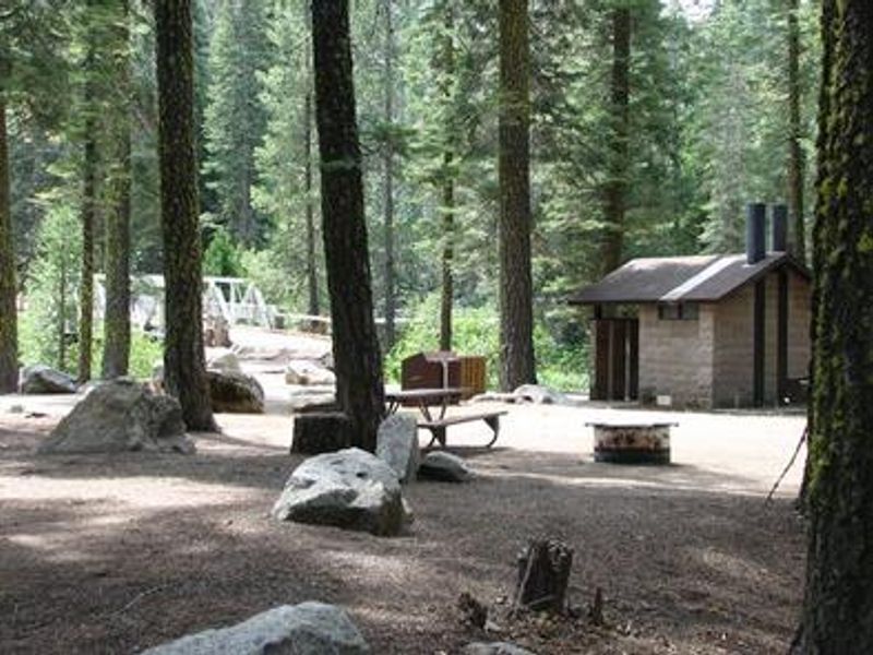
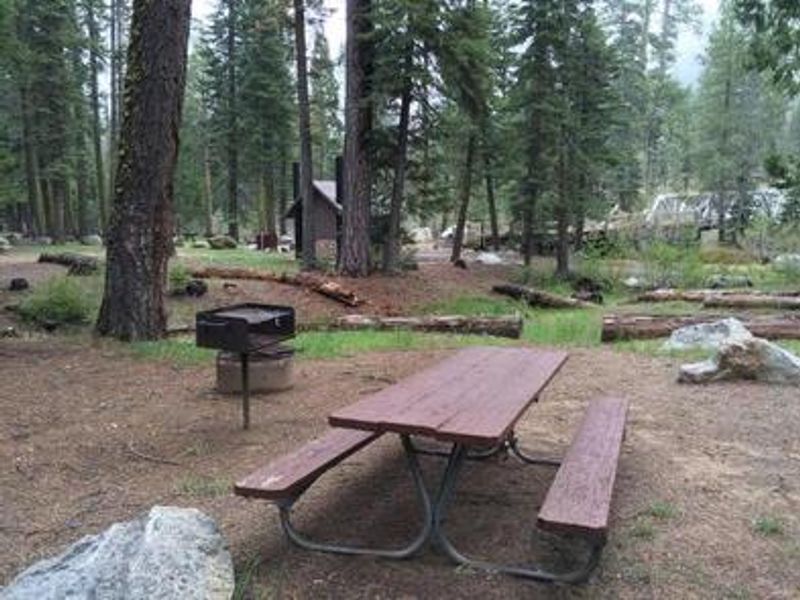
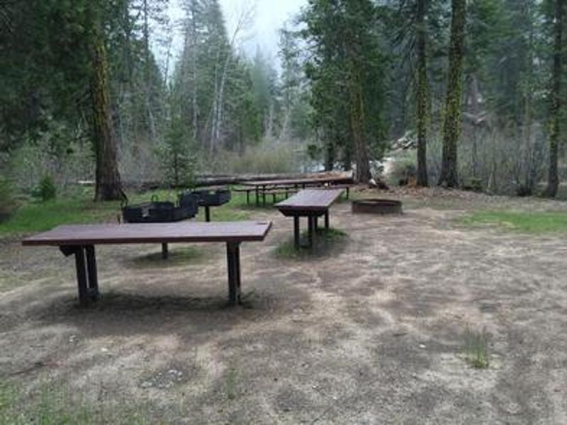
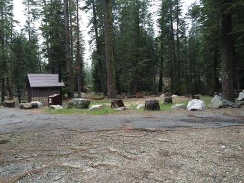
Capps Crossing is a shaded group campground located on the North Fork of the Cosumnes River within the Eldorado National Forest. Sitting at 5,100 feet elevation among cedar and fir trees, the campground offers a cool retreat during the warm, dry summers typical of the region's Mediterranean climate. The site features 9 individual campsites (some tent-only, some RV-capable) plus one group site that can accommodate up to 42 people. The river provides opportunities for wading, swimming, and fishing, and gold panning remains a popular activity in the area, continuing the excitement of California's historic gold mining era. Nearby attractions include hiking trails, rock climbing areas, scenic overlooks, and off-highway vehicle routes. Bears frequent the area, so all food must be stored in approved bear-resistant containers.
Directions
From Pollock Pines, take Sly Park Road (County E16) 4.3 miles south to Mormon Emigrant Trail. Turn left onto Mormon Emigrant Trail and drive 11.2 miles east to North-South Road. Turn right onto North-South Road and drive 7 miles south to the campground entrance on the left.
Amenities
| Water | No |
| Fires Allowed | — |
| Toilets | Yes |
| Dump Station | — |
| Wifi | No |
| Pets Allowed | Yes |
| Showers | No |
| Electric Hookups | — |
| Water Hookups | — |
| Sewer Hookups | — |
| Camp Store | No |
| Price | $165 |
Vehicle
| Max RV Length | 40ft |
| Max Trailer Length | 40ft |
| Big Rig Friendly | No |
| Pull Through Sites | No |
Contact
| Phone | +1 (530) 644-2324 |
Cell Service
| AT&T | None |
| Verizon | None |
| T-Mobile | None |
Availability
Photos

Community Posts
No posts yet. Be the first to share your experience!