Bridal Veil Group Area And Picnic Ground
Currently closed for the season. The campground operates mid-May through mid-October when a host is present. Reservations can be made via Recreation.gov 4 days to 6 months in advance. Gate closes at 8 PM and opens at 10 AM daily.
National Forest System Roads
Follow California Vehicle Code on National Forest System Roads
Fireworks and Explosives are always Prohibited
Fireworks and explosives (including explosive targets) are always prohibited on national forest lands. The prohibition of fireworks and exploding targets on national forest system lands is part of a set of permanent fire safety regulations in the Code of Federal Regulations (CFR), listed below.…
Fire Restrictions are in Effect Forest Wide
Fire Restrictions are in effect forest wide. No campfires except in existing stoves, charcoal grills, or fire rings provided in the Recreation Sites listed in Exhibit A in the Forest Order and actively serviced by a camp host.No charcoal firesCamp stoves, lanterns and propane fire rings are…
About
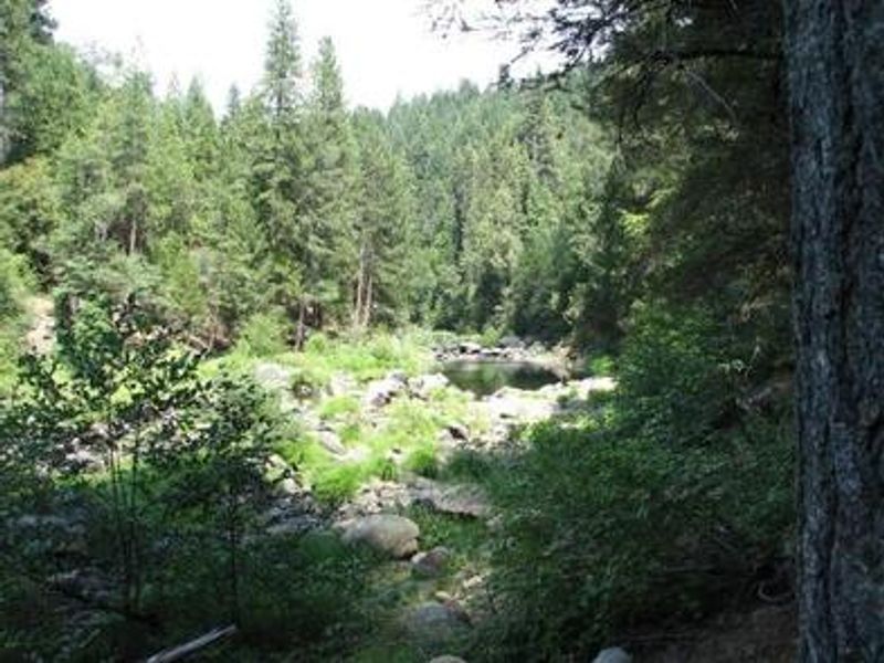
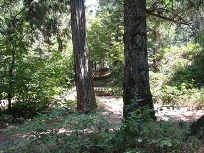
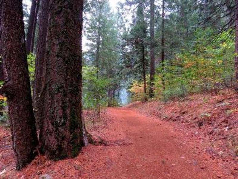
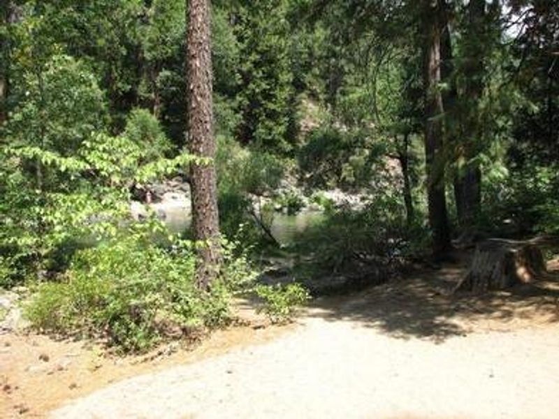
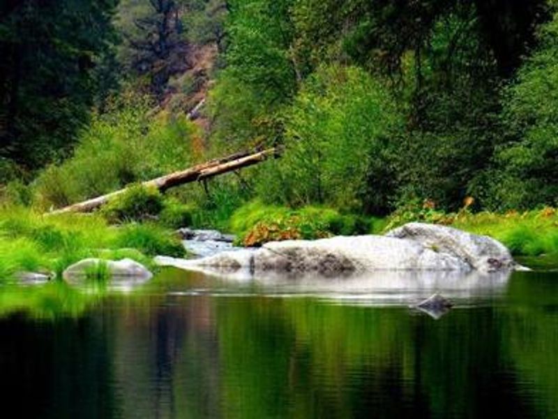
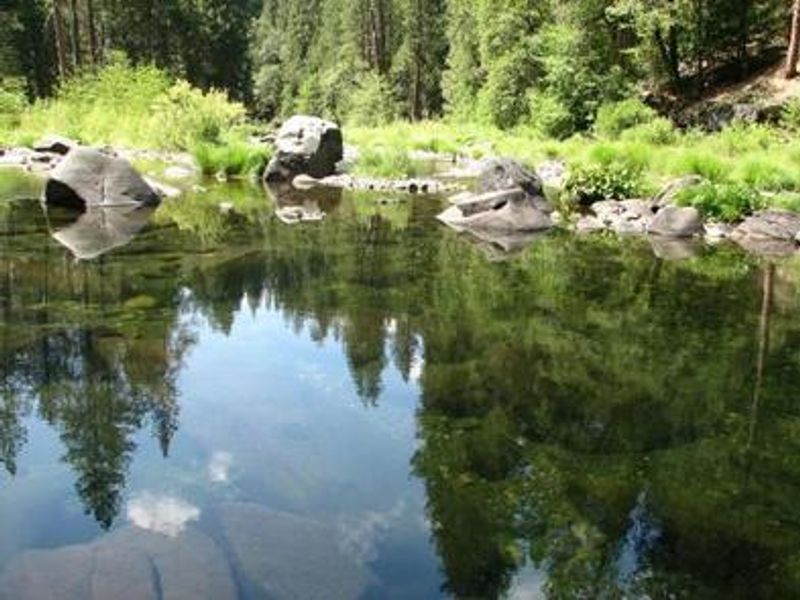
Bridal Veil Group Area and Picnic Ground sits at 3,200 feet elevation on a hill overlooking the South Fork of the American River, 17 miles east of Placerville along Highway 50. The group overnight area features 5 tent pads, 8 picnic tables, 6 serving tables, and a large group fire ring, with lot-style parking accommodating up to 7 vehicles. Two large swimming holes in the river below are popular with visitors, and fishing for rainbow and brown trout is available. The site operates seasonally with a host present from mid-May through mid-October. There is no potable water on site, so campers must bring their own supply. A vault toilet is available. The gate closes at 8 PM and does not open until 10 AM, so overnight guests must arrive before 8 PM. Bears frequent the area, so proper food storage in provided bear boxes is required. Nearby attractions include Bridal Veil Falls (5 minutes), stores and restaurants in Pollock Pines (10 minutes), and Jenkinson Lake and Crystal Basin (30-minute drive). South Lake Tahoe is about 45 minutes away.
Directions
From Placerville, take Highway 50 east for 17 miles. The site is on the South Fork of the American River, just north of Highway 50.
Amenities
| Water | No |
| Fires Allowed | Yes |
| Toilets | Yes |
| Dump Station | No |
| Wifi | No |
| Pets Allowed | Yes |
| Showers | No |
| Electric Hookups | — |
| Water Hookups | — |
| Sewer Hookups | — |
| Camp Store | No |
| Price | $105 |
Vehicle
| Max RV Length | — |
| Max Trailer Length | — |
| Big Rig Friendly | No |
| Pull Through Sites | No |
Contact
| Phone | +1 (530) 644-2324 |
Cell Service
| AT&T | Yes |
| Verizon | Yes |
| T-Mobile | Yes |
Availability
Photos
Community Posts
No posts yet. Be the first to share your experience!