Camp Rucker Group Site
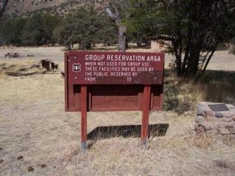
Open year-round for individual walk-in camping on a first-come, first-served basis. Group reservations are not available due to site redesign. No reservations accepted during Easter, Memorial Day, and Labor Day weekends when the area serves as overflow camping.
Border Barrier Construction Closure
Going into or being upon the Described Area.
John Long Canyon Road Closure Order
Prohibits the use of any motorized vehicle on the Described Road.
About
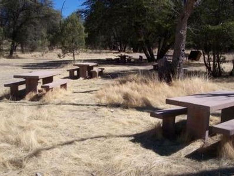
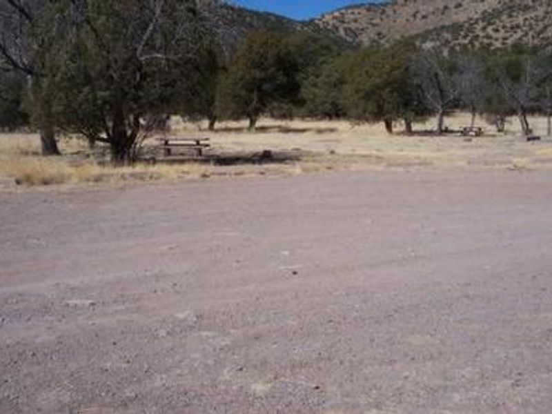
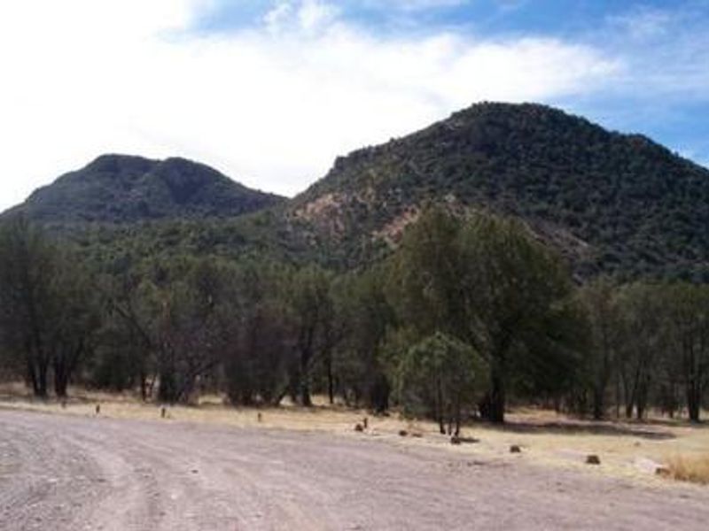
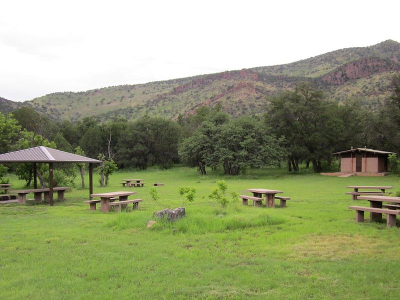
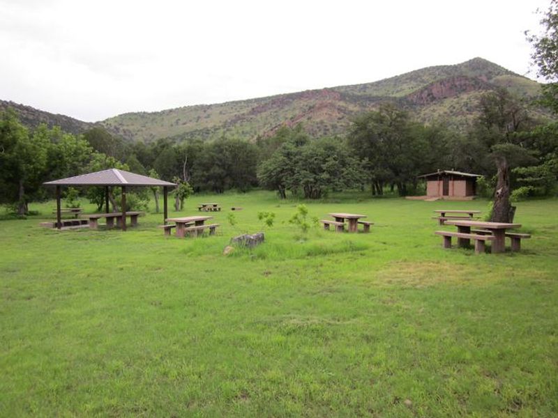
Walnut Grove Campground, formerly known as Camp Rucker Group Site, is located at 5,533 feet elevation in the remote Chiricahua Mountains of southeastern Arizona. The campground underwent redesign and now operates as a first-come, first-served facility with 10 individual camping sites in a grassy setting shaded by oak, juniper, and Arizona walnut trees. Rucker Creek flows intermittently nearby, and Monte Vista Peak provides a scenic backdrop. Each site includes a picnic table and fire pit with grill. Vault toilets and bear-proof trash containers are provided, but there is no potable water, so campers must bring their own supply. The area has no cell service and active bear presence requires proper food storage. Access roads (Rucker Canyon Road, FR 74, and FR 74E) can become impassable after rain or snow, and flash floods are a risk from distant storms. The campground lies along the Rucker and Tex Canyon scenic drive, which passes through beautiful canyon country and provides access to several trails into the Chiricahua Wilderness. History enthusiasts can visit the nearby Camp Rucker Historic Site, a remnant of conflicts between the U.S. Cavalry and Chiricahua Apaches. Chiricahua National Monument is a popular day trip destination.
Directions
From Douglas, Arizona, take Leslie Canyon Road north to Rucker Canyon. Stay on the main road, which becomes Forest Road 74. Turn left on Forest Road 74E and left again to reach the campground. From Tucson, take I-10 east for 72 miles to US 191, turn right and drive 29 miles to the Rucker Canyon turnoff, then continue 17 miles to the national forest boundary and follow FR 74 to FR 74E. Roads can become impassable after rain or snow.
Location
Amenities
| Water | No |
| Fires Allowed | Yes |
| Toilets | Yes |
| Dump Station | No |
| Wifi | No |
| Pets Allowed | Yes |
| Showers | No |
| Electric Hookups | — |
| Water Hookups | — |
| Sewer Hookups | — |
| Camp Store | No |
| Price | $15 |
Vehicle
| Max RV Length | — |
| Max Trailer Length | — |
| Big Rig Friendly | No |
| Pull Through Sites | — |
Contact
| Phone | +1 (520) 364-3468 |
Cell Service
| AT&T | None |
| Verizon | None |
| T-Mobile | None |
Photos
Community Posts
No posts yet. Be the first to share your experience!