Open for the 2026 season from May 2 through October 15. Approximately 40 sites are reservable through Recreation.gov; remaining sites are first-come, first-served. Firewood must originate within 25 miles or be certified heat-treated due to invasive species restrictions.
About
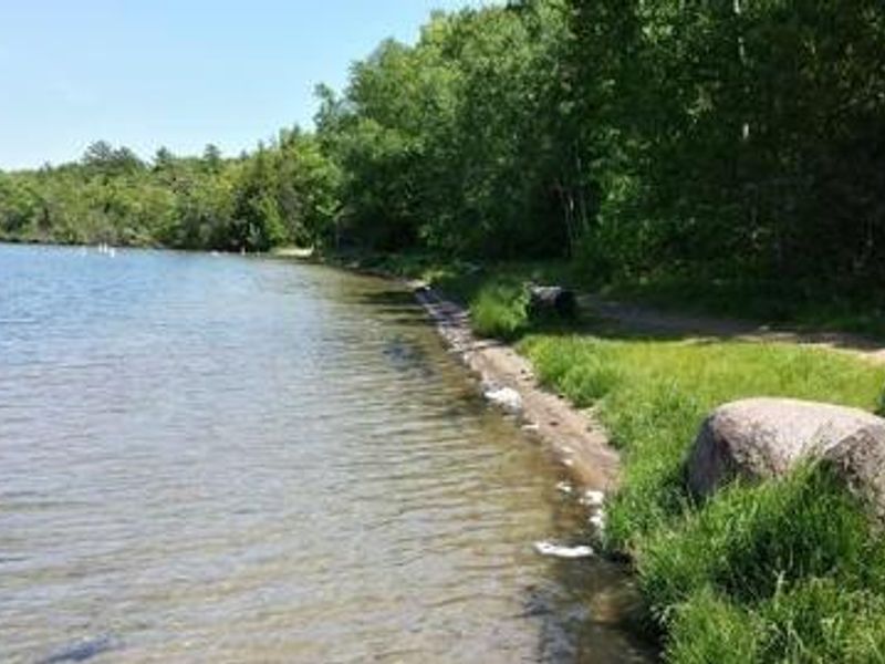
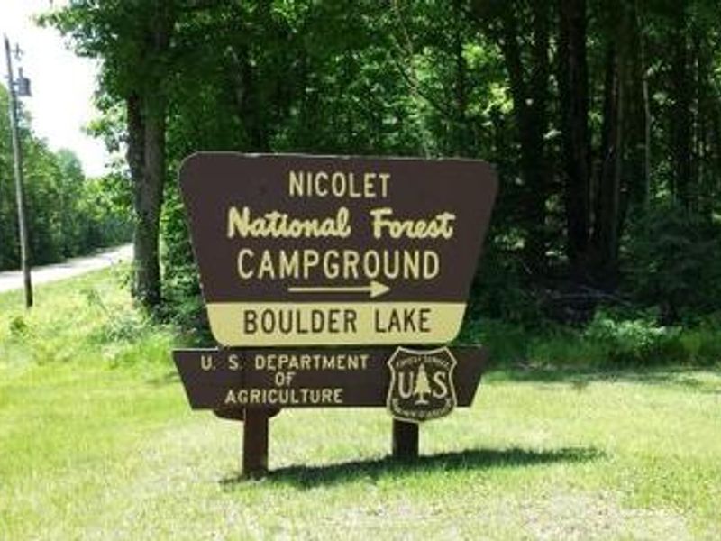
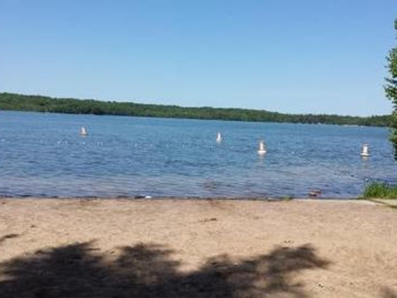
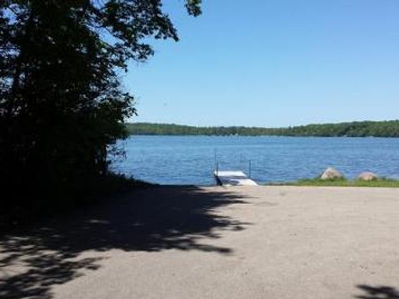
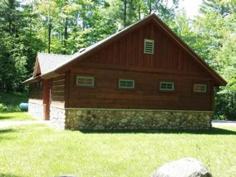
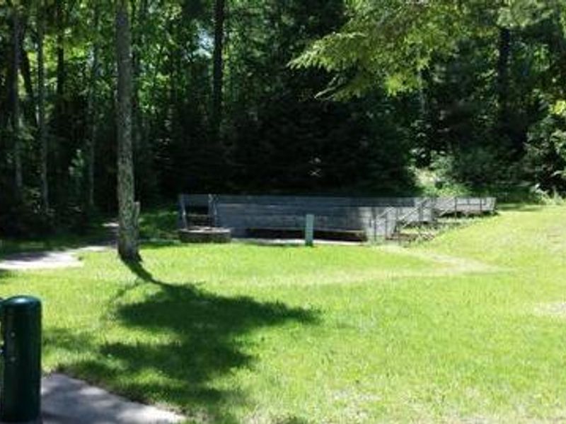
Boulder Lake Campground is the largest public campground in the Chequamegon-Nicolet National Forest, situated in a stand of young hardwoods overlooking 362-acre Boulder Lake. The 99 campsites include 89 single-family sites and 10 group sites accommodating 6-30 people. Some waterfront sites offer direct lake access while inland sites provide a quieter experience. Electric hookups are available at sites 9-16 and 40-54. The campground features flush toilets, vault toilets, hot showers, potable water from hand pumps, and an RV dump station. Each site includes a picnic table and fire ring with grill. Recreational amenities include a paved boat ramp with parking for 20 vehicles, an expanded swim beach, hiking trail with wooden boardwalk, and an amphitheater for occasional educational programs. Boulder Lake supports power boating, water skiing, and excellent fishing for walleye, northern pike, bass, and panfish. Ice fishing access is maintained in winter with plowed boat ramp and parking. The Wolf River nearby offers whitewater rafting and canoeing opportunities.
Directions
From Townsend, travel Highway T for about 17 miles to the intersection with Highway W. Turn onto Highway W and continue just over a mile to Forest Road 2116. Turn right and continue to the campground.
Location
Amenities
| Water | Yes |
| Fires Allowed | Yes |
| Toilets | Yes |
| Dump Station | Yes |
| Wifi | — |
| Pets Allowed | — |
| Showers | Yes |
| Electric Hookups | Yes |
| Water Hookups | No |
| Sewer Hookups | No |
| Camp Store | — |
| Price | $18 - $75 |
Vehicle
| Max RV Length | 255ft |
| Max Trailer Length | 255ft |
| Big Rig Friendly | No |
| Pull Through Sites | No |
Contact
| evan.miller@usda.gov | |
| Phone | +1 (715) 276-6333 |
Cell Service
| AT&T | Yes |
| Verizon | Yes |
| T-Mobile | None |
Availability
Photos
Community Posts
No posts yet. Be the first to share your experience!