Bear Basin Lookout And Cabin
Closed for the season. The lookout and cabin operate July 1 through September 30 only. The lookout closes October 1st annually to protect from wind damage and may close earlier if storms threaten. Access currently requires the longer South Fork Road route via Ship Mountain due to damage on Jawbone Road.
Fireworks and Explosives are always Prohibited
Fireworks and explosives (including explosive targets) are always prohibited on national forest lands. The prohibition of fireworks and exploding targets on national forest system lands is part of a set of permanent fire safety regulations in the Code of Federal Regulations (CFR), listed below.…
Forest Fire Restrictions
Due to dry conditions and increasing fire danger, the Six Rivers National Forest is implementing fire restrictions, beginning July 3, 2026. These restrictions apply to all of the Six Rivers National Forest (SRF) and land administered by the SRF which includes the Ukonom Ranger District of the…
Trinity Wilderness Area Restrictions
To provide for public safety and protect natural resources, group-size limitations, wood-fire prohibition, access permits, and more restrictions are in place to preserve the Trinity Alps wilderness.
About
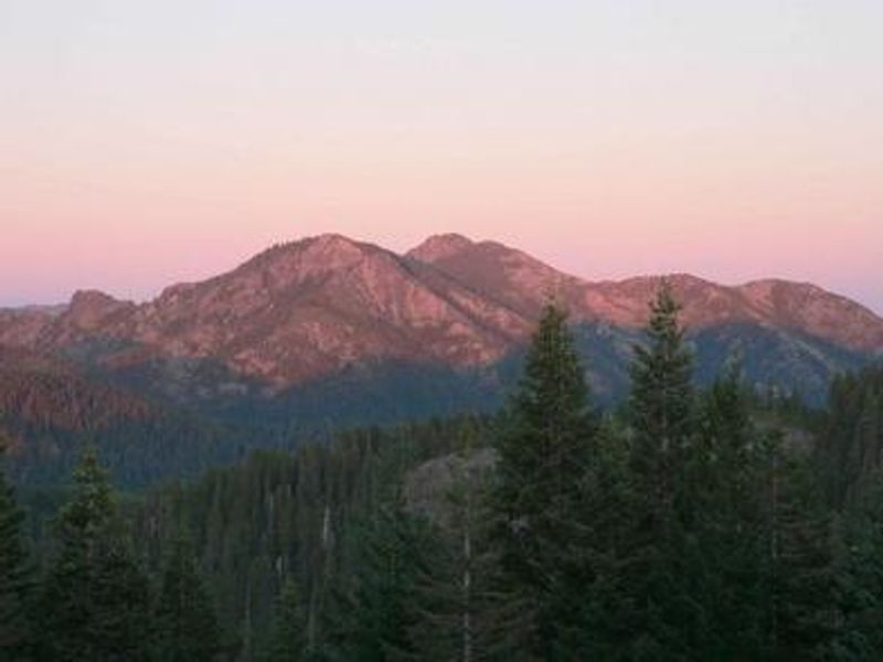
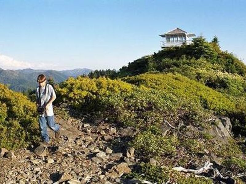
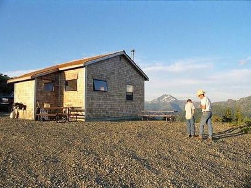
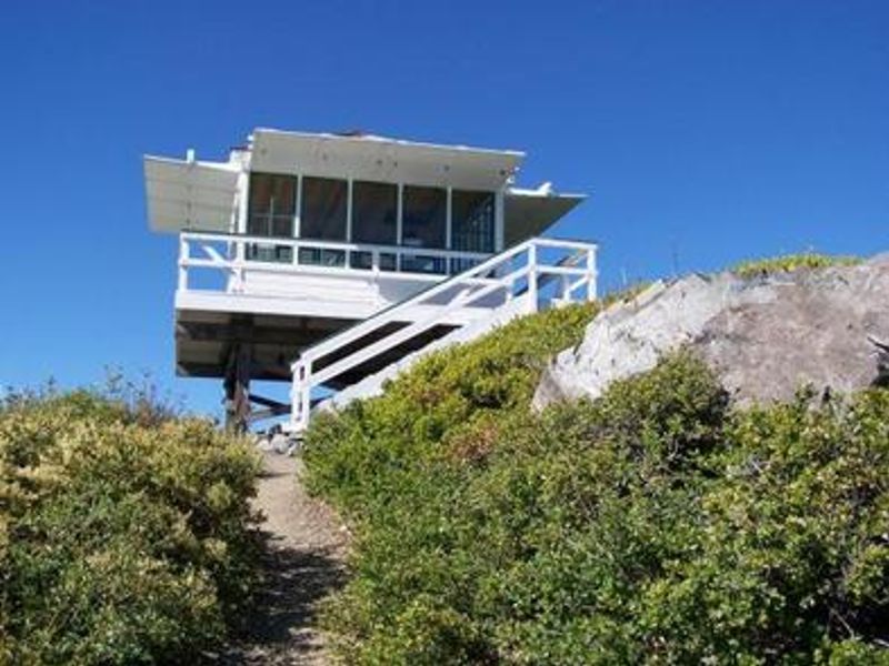
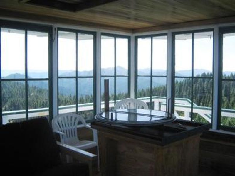
Bear Basin Lookout and Pierson Cabin offer a unique opportunity to experience life as a fire spotter from a remote mountain ridge in California's Six Rivers National Forest. Perched at 5,280 feet, the site provides 360-degree views spanning the Siskiyou Wilderness to the east and the Pacific Ocean to the west. The current lookout was originally stationed at Camp Six and relocated to Bear Basin Butte in 1996. The rental includes both the historic lookout tower and a modern cabin built in the 1990s in period-appropriate 1930s style. The cabin features three double beds (one bunk), a futon, dining table, chairs, bookcase, and a wood-burning stove with firewood provided. A vault toilet and picnic area with campfire ring are available outside. No water or electricity is available on-site. Access requires a high-clearance four-wheel drive vehicle. The final half-mile is steep gravel, and the paved South Fork Road frequently has rocks and debris. Guests should carry tire chains and a shovel. The Doe Flat and Island Lake trailheads providing access to the Siskiyou Wilderness are within three miles.
Directions
From Smith River NRA Visitor Center in Gasquet: Due to Jawbone Road closure, access is via South Fork Road and 16N02 over Ship Mountain (approximately 40 miles, 2 hours one-way). About 18 miles of this route is unpaved with areas of washout. High-clearance 4WD advised. Standard route when open: Highway 199 to milepost 24.85, turn onto Little Jones Creek Road/Jawbone Road, follow paved road 9.7 miles, turn left on 16N02 for 0.5 miles to locked gate.
Amenities
| Water | No |
| Fires Allowed | Yes |
| Toilets | Yes |
| Dump Station | No |
| Wifi | No |
| Pets Allowed | No |
| Showers | No |
| Electric Hookups | — |
| Water Hookups | — |
| Sewer Hookups | — |
| Camp Store | No |
| Price | $75 |
Vehicle
| Max RV Length | — |
| Max Trailer Length | — |
| Big Rig Friendly | No |
| Pull Through Sites | No |
Contact
| Phone | +1 (707) 457-3131 |
Cell Service
| AT&T | None |
| Verizon | Yes |
| T-Mobile | None |
Availability
Photos
Community Posts
No posts yet. Be the first to share your experience!