Mark Twain National Forest
Paddy Creek Recreation Area, National Forest System Road 211, Big Piney Trailhead Spur Trail (03-016-D), Paddy Creek Trail Loop (Trail 03-016-C), and a section of the Big Piney Trail (03-016-A) will be closed from December 1, 2026 until December 31, 2027 while a bank on the creek is restabilized…
Mark Twain National Forest
The closure of Trail 119 of the Chadwick Motorized Trail System has been extended due to delays with the culvert replacement. This order supersedes the previous order. The closure of Trail 119 begins on Trail 101 about halfway between KC Pavilion Trailhead and Cobb Ridge Campground and extends…
Mark Twain National Forest
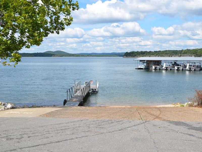
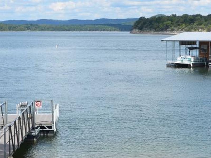
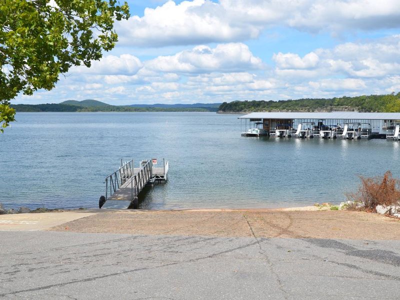
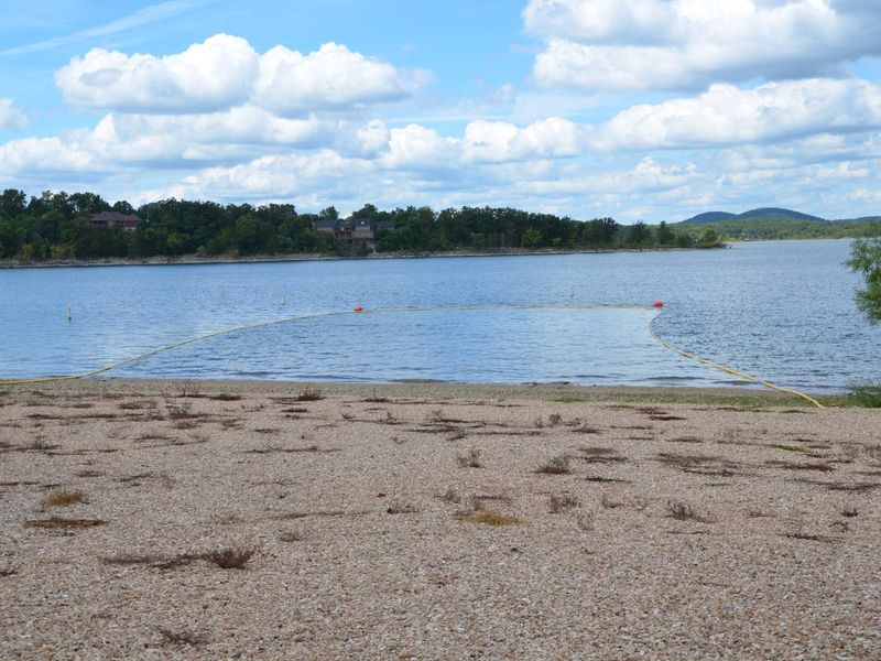
Beaver Lake, located within the Poplar Bluff Ranger District, will be temporarily closed to facilitate dam repair work.
Mark Twain National Forest
Due to activity from the Tabor Fire, a portion of the Ridge Runner National Recreation Trail has been temporarily closed. This is an Emergency Trail closure for fire activity on and near the trail systemClosed TrailheadsNorth ForkHay Hollow (Braddock Lake)CC WranglerClosed Trail SectionsHeading…
Mark Twain National Forest
The closure of Forest Trail 119 in the Chadwick Motorized Trail System will serve to ensure the protection of people who visit the Mark Twain National Forest by preventing access to the trail during the removal of a culvert. The Closure Order and Map can be accessed in the green links below.
Mark Twain National Forest
This is a temporary closure for FS Road 566 up to Coy Bald Trailhead to avoid risk of entrapment from flooding waters during the peak rain season. Access to the Coy Bald Trailhead requires crossing U.S. Army Corps of Engineers land—and traversing the Cane Creek low‑water crossing, a…
Mark Twain National Forest
Please check weather conditions prior to visiting. Forecasts can be found:National Weather Service - Springfield, MO Severe Weather Potential National Weather Service - Springfield, MO (Facebook) Safety Tips are available: Brave the Elements Ready.gov - Floods Severe Weather Tornadoes
Mark Twain National Forest
Visitors to McCormack Lake, Beaver Lake, and Markham Springs mill pond may notice lower water levels than normal. Be aware that lowering of water levels can leave slick mud or other trip hazards that aren’t normally encountered. Please be extra careful walking around the edge of the lakes during…
Mark Twain National Forest
Missouri Department of Transportation and Christian County have closed Red Bridge, on Red Bridge Road, in Christian County. Barriers are in place to block access to the bridge.Red Bridge Road is a county road that goes through the Ava/Cassville/Willow Springs Ranger District, east of Highway 65 and…
Mark Twain National Forest
Mark Twain National Forest has put in place Forest Order 09-05-25-02 for the Eleven Point Ranger District, Ozark Trail - Current River Section Closure. This closure is to promote public safety for this section of trail while work continues to clear out the areas with so many trees knocked down by…
Mark Twain National Forest
For public safety, during recovery efforts from previous storm damage, Mark Twain National Forest has put in place Forest Order 09-05-25-01, Eleven Point Ranger District, Blue Ridge Horse Trail Closure.
Mark Twain National Forest
Water system at Wild Boar Ridge Campground is out-of-service. Water and showers are available at the nearby Chapen Hill beach.
Mark Twain National Forest
Hunting feral swine is prohibited on the Mark Twain National Forest. For more information visit the Feral Swine page.
Mark Twain National Forest
In 2012, The Mark Twain National Forest completed soil sampling in many areas of Southeast Missouri lead mining area. A few recreation sites were found to have elevated concentrations of lead, but there was not a clear trend indicating where we would find lead.In Fall 2014, we partnered with the…
Mark Twain National Forest
Occupancy and prohibitions for camping in developed areas, forest quiet hours, parking, trash removal, glass beverage and food containers, alcohol use (must be over 21), cannabis, spark arrestors, and a few other items.
Mark Twain National Forest
Operation and use of motorized vehicles and watercraft on National Forest System lands, rivers/lakes, roads, and trails.
Mark Twain National Forest
Entering or being in the Palmer Lead Smelter Closure Area. The boundary of the Palmer Lead Smelter Closure Area is defined by the marked and signed area surrounding the Palmer smelter site located north of Forest Service road 2392 at Hazel Creek Campground
Mark Twain National Forest
The area located north of the east gate road, T35N, R10 W, Section 8 and 17, south of the Piney River was used for military purposes in the past. For your safety, do not disturb unknown objects. Please use caution in this area and practice the 3Rs if you encounter any suspicious objects:Recognize-…
Mark Twain National Forest
THE FOLLOWING ACTS ARE PROHIBITED IN THE AREA WITHIN 150 YARDS OF THE GREER SPRING PARKING AREA, TRAIL OR SPRING BRANCH
Mark Twain National Forest
All non-administrative, non-recreation buildings and structures are closed for protection of public health and safety.
Mark Twain National Forest
The following restrictions are prohibited to protect those parts of the National Forest System which were designated units of the National Wilderness Preservation System by the Wilderness Act of September 3, 1964, and such other areas of the National Forest System as are added to the Wilderness…
Mark Twain National Forest
Operation and use of motorized watercraft within the Eleven Point Wild and Scenic River zone to preserve the river.
Mark Twain National Forest
Prohibiting entering any cave or mine on National Forest System lands within the Mark Twain National Forest.