Mill Creek
Open for the 2026 season. The campground operates from April 1 through October 30. Reservations are available through Recreation.gov. Maximum stay is 14 days within any 30-day period.
Forest Closure - Bridge Replacement at Paddy Creek
Paddy Creek Recreation Area, National Forest System Road 211, Big Piney Trailhead Spur Trail (03-016-D), Paddy Creek Trail Loop (Trail 03-016-C), and a section of the Big Piney Trail (03-016-A) will be closed from December 1, 2026 until December 31, 2027 while a bank on the creek is restabilized…
Forest Order - Trail 119 Closure Extended (Chadwick Motorized Trail System)
The closure of Trail 119 of the Chadwick Motorized Trail System has been extended due to delays with the culvert replacement. This order supersedes the previous order. The closure of Trail 119 begins on Trail 101 about halfway between KC Pavilion Trailhead and Cobb Ridge Campground and extends…
Beaver Lake Temporary Closure
Beaver Lake, located within the Poplar Bluff Ranger District, will be temporarily closed to facilitate dam repair work.
About
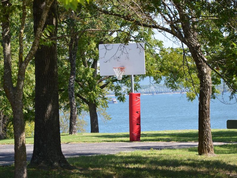
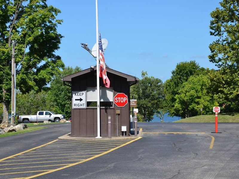
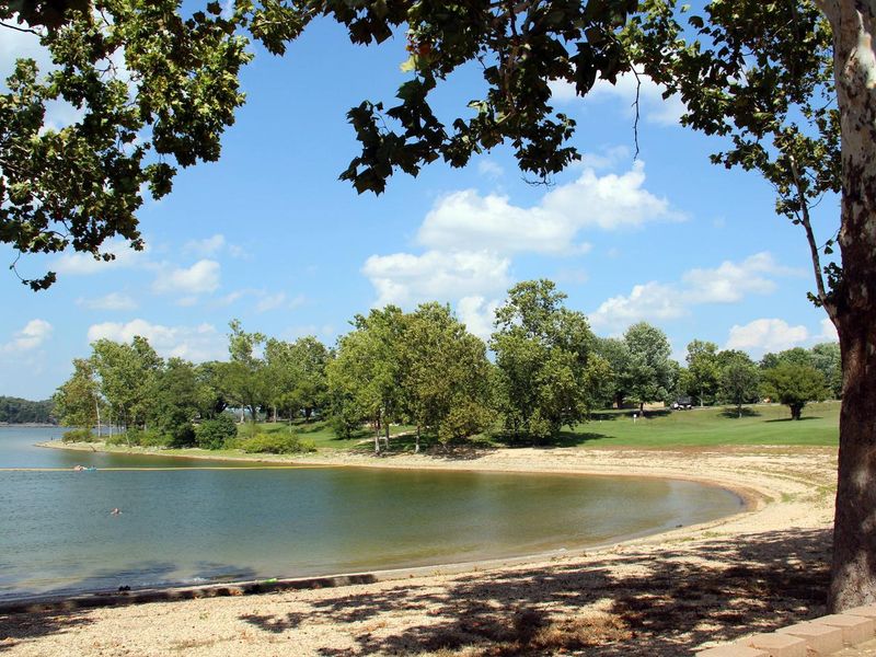
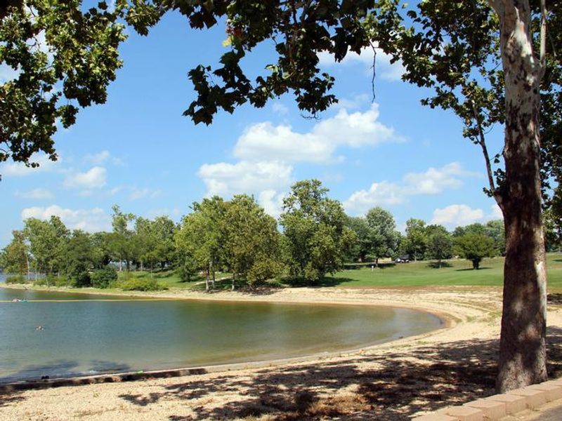
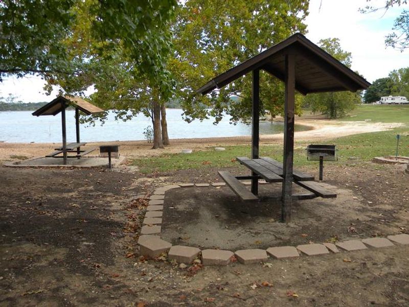
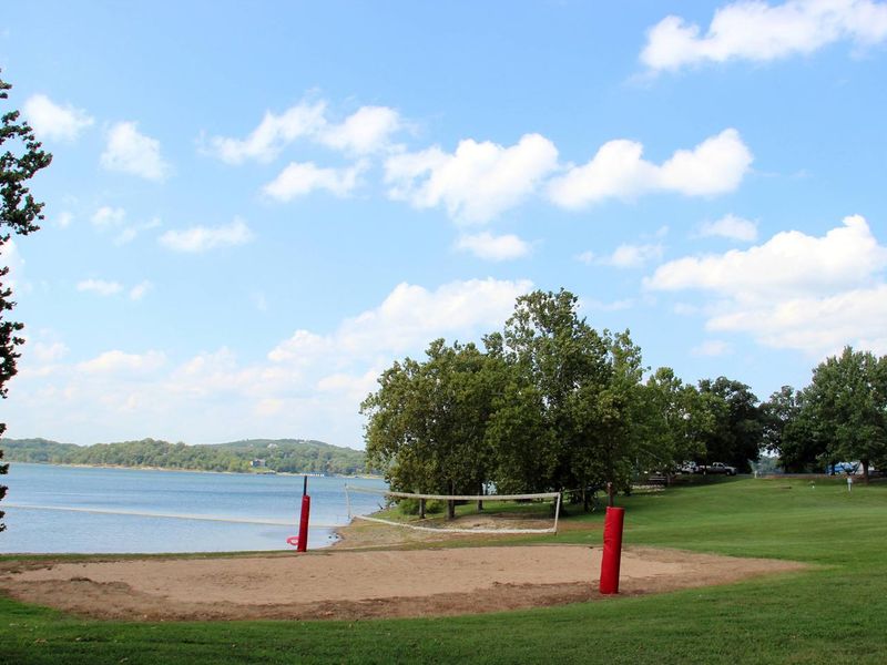
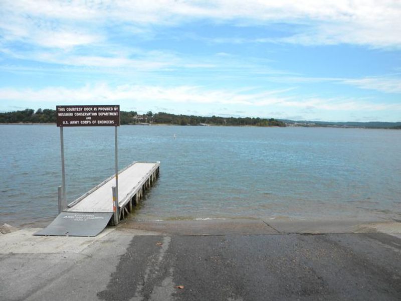
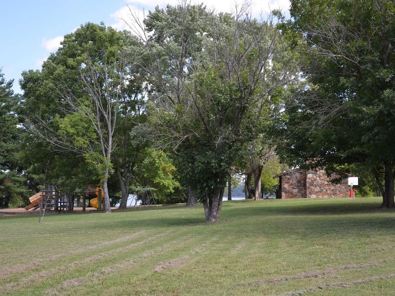
Mill Creek Campground is a spacious and sunny Corps of Engineers campground on the White River Arm of Table Rock Lake in the Missouri Ozarks. The campground occupies a peninsula surrounded by water on three sides, giving many of its 67 sites direct waterfront access or lake views just a short walk away. Sites feature 50-amp electric hookups, water connections, picnic tables, fire rings, and grills on paved pads accommodating RVs up to 70 feet at some sites. The campground is well-equipped for extended stays with hot showers, flush restrooms, drinking water, and a dump station. Recreation options include a swimming beach, boat ramp with courtesy dock, basketball and volleyball courts, and a playground. Table Rock Lake is renowned as one of the best bass fishing lakes in the country, and opportunities for scuba diving, wildlife viewing, and hunting are also nearby. The Mark Twain National Forest surrounds the campground, offering additional hiking and mountain biking trails. The Dewey Short Visitor Center at Table Rock Dam features exhibits on local natural history and educational films. Branson is just 18 miles away for groceries, fuel, and entertainment.
Directions
From Branson, Missouri, travel west on Highway 76, then take Highway 13 south for 12 miles. Turn west onto Highway RB and follow signs to the campground.
Amenities
| Water | Yes |
| Fires Allowed | Yes |
| Toilets | Yes |
| Dump Station | Yes |
| Wifi | — |
| Pets Allowed | Yes |
| Showers | Yes |
| Electric Hookups | Yes |
| Water Hookups | Yes |
| Sewer Hookups | No |
| Camp Store | — |
| Price | $38 - $50 |
Vehicle
| Max RV Length | 70ft |
| Max Trailer Length | 70ft |
| Big Rig Friendly | Yes |
| Pull Through Sites | No |
Contact
| Phone | +1 (417) 779-5378 |
Cell Service
| AT&T | Yes |
| Verizon | Yes |
| T-Mobile | Yes |
Availability
Photos

Community Posts
No posts yet. Be the first to share your experience!