Bandy Creek
Open year-round on the reservation system. Black bears are active in the area; proper food storage is required. All food, coolers, and food items must be kept in hard-sided vehicles or trailers except while preparing or eating.
Wind Advisory issued October 10 at 9:38AM EDT until October 11 at 8:00AM EDT by NWS Morristown TN
* WHAT...East winds 20 to 30 mph with gusts up to 45 mph expected. * WHERE...Portions of east Tennessee and southwest Virginia. * WHEN...Until 8 AM EDT /7 AM CDT/ Sunday. * IMPACTS...Gusty winds will blow around unsecured objects. Tree limbs could be blown down and a few power outages may result. * ADDITIONAL DETAILS...Localized gusts up to 50 mph possible.
About
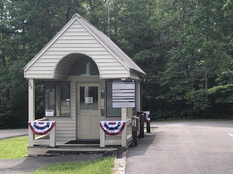
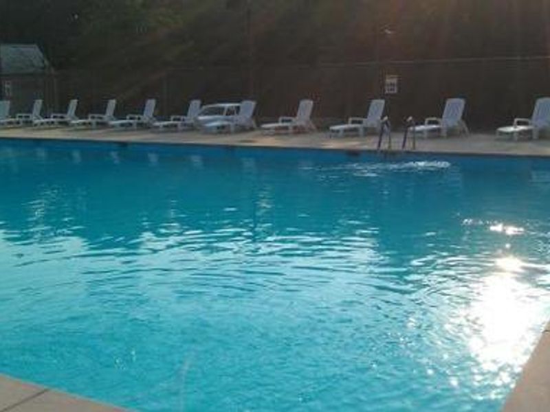
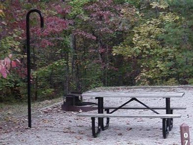
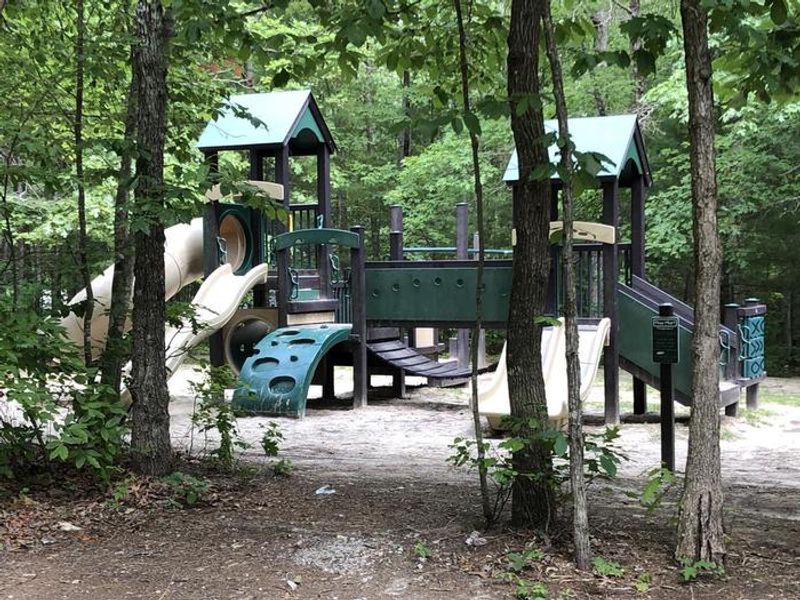
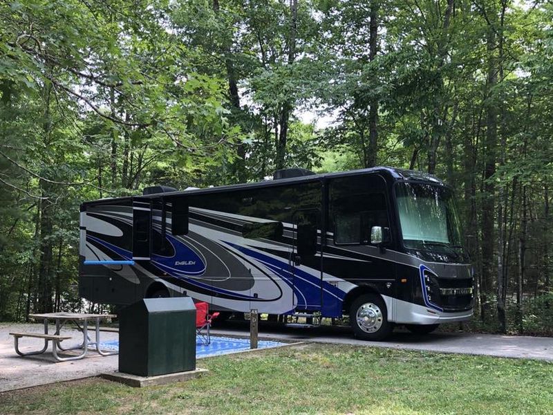
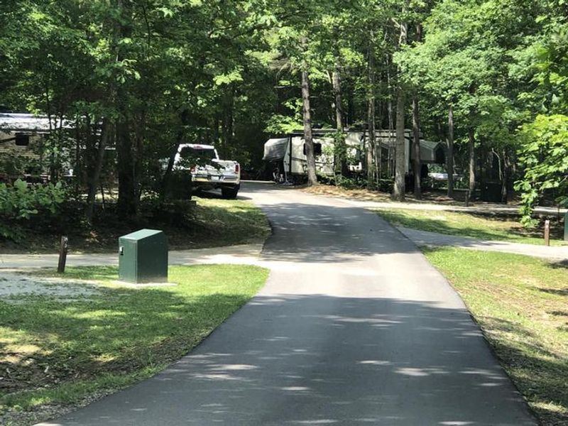
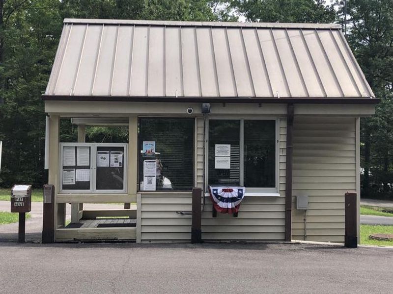
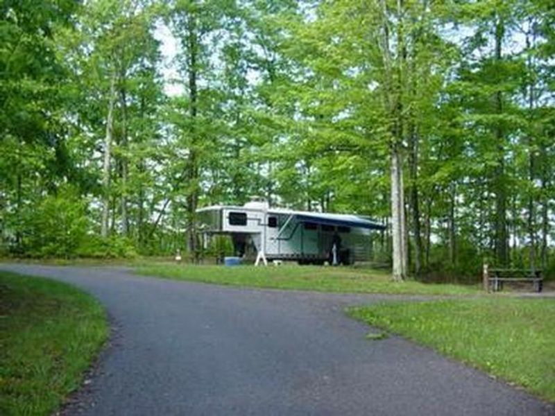
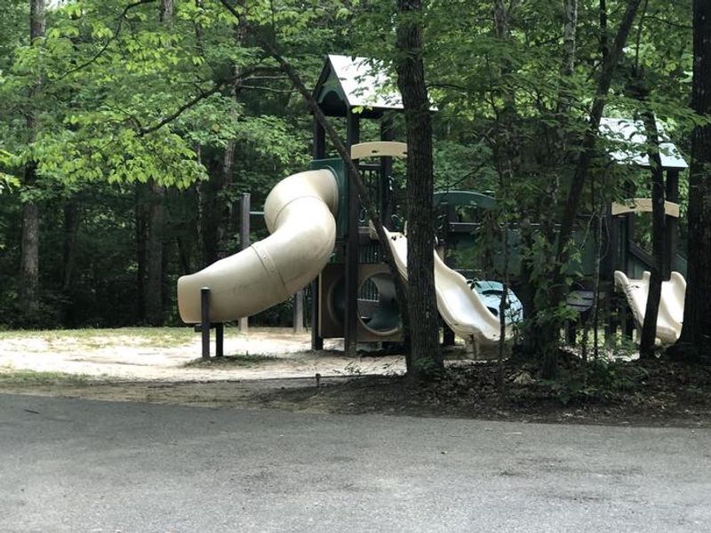
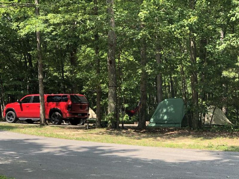
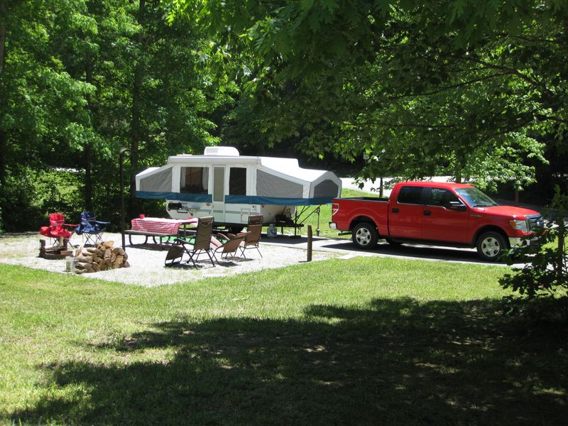
Bandy Creek Campground sits within the 125,000-acre Big South Fork National River and Recreation Area on Tennessee's Cumberland Plateau. The campground combines traditional woods camping with modern conveniences, making it popular with families and groups. Loop A offers 49 non-electric tent sites, while Loops B, C, and D provide 96 trailer sites with water and 20/30/50-amp electric hookups. Two group camping loops (E) accommodate larger parties with cook shelters and campfire circles. Facilities include flush restrooms with hot showers throughout the campground, a dump station near the registration kiosk, and a seasonal camp store with stables nearby. A swimming pool operates from Memorial Day weekend through Labor Day on Fridays, Saturdays, Sundays, and holidays. Recreation options include volleyball courts, playgrounds, ball fields, and an amphitheater. The surrounding area features the rugged terrain of the Cumberland Plateau with sandstone cliffs, natural arches, and rock formations carved by the Big South Fork of the Cumberland River. Miles of trails provide access to hiking, mountain biking, and equestrian routes. The Blue Heron Mine outdoor museum is about 20 miles away.
Directions
From Oneida, TN, take Highway 297 west to Bandy Creek. Note: Highway 297 has a 13% downhill grade with winding curves that can be challenging for large RVs and trailers. Alternate route via Route 154 is recommended for large vehicles. The campground address is 145 Campground Road, Oneida, TN 37841.
Amenities
| Water | Yes |
| Fires Allowed | Yes |
| Toilets | Yes |
| Dump Station | Yes |
| Wifi | — |
| Pets Allowed | Yes |
| Showers | Yes |
| Electric Hookups | Yes |
| Water Hookups | Yes |
| Sewer Hookups | No |
| Camp Store | Yes |
| Price | $20 - $140 |
Vehicle
| Max RV Length | 73ft |
| Max Trailer Length | 73ft |
| Big Rig Friendly | No |
| Pull Through Sites | No |
Contact
| Tish_Neal@nps.gov | |
| Phone | +1 (423) 286-7275 |
Cell Service
| AT&T | Yes |
| Verizon | Yes |
| T-Mobile | None |
Availability
Photos
Community Posts
No posts yet. Be the first to share your experience!