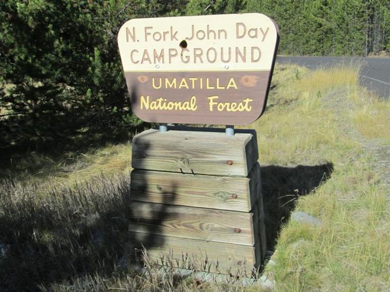
North Fork John Day Campground
Open for the 2026 season. The campground is maintained from Memorial Day through mid-November, with fees charged through November 15. Road conditions may affect access earlier in spring or later in fall. Reservations available through Recreation.gov; some sites are first-come, first-served.
Red Flag Warning issued August 1 at 2:46AM PDT until August 1 at 11:00PM PDT by NWS Pendleton OR
...PARTICULARLY DANGEROUS SITUATION (PDS) RED FLAG IN EFFECT 2PM UNTIL 8PM TODAY FOR THE FOLLOWING AREAS: KITTITAS VALLEY (ZONE 690) - LOWER COLUMBIA BASIN OF OREGON AND WASHINGTON (ZONE 691) - NORTHERN BLUE MOUNTAINS OF OREGON AND WASHINGTON (ZONE 692) - CANYON GRASSLANDS OF WALLOWA COUNTY AND SOUTHEAST WASHINGTON GRANDE RONDE VALLEY (ZONE 693) - GRANDE RONDE VALLEY OF OREGON (ZONE 694) - EAGLE CAP WILDERNESS (ZONE 695) - JOHN DAY VALLEY (ZONE 696) - AND CENTRAL MOUNTAINS OF OREGON (ZONE 700)... .A strong cold front will pass through the region today. Very warm, dry, and windy conditions will result, leading to extreme fire weather concerns and the potential for rapid fire spread for any new or ongoing fires. * AFFECTED AREA...Fire Weather Zones 697 Central Blue Mountains, 698 Southern Blue Mountains, 699 Western Forested Blue Mountains, 701 Eastern Columbia River Gorge of Oregon, 702 East Slopes of the Mt. Hood National Forest, 703 Warm Springs Reservation and 704 Northern Deschutes National Forest. * TIMING...From 11 AM this morning to 11 PM PDT this evening. * WINDS...Northwest 10 to 20 mph with gusts up to 30 mph. * RELATIVE HUMIDITY...As low as 9 percent. * IMPACTS...Any fire that develops will catch and spread quickly. Outdoor burning is not recommended.
Air Quality Alert issued July 31 at 12:34PM PDT by NWS Pendleton OR
Oregon Department of Environmental Quality has issued an Air Quality Advisory until 2 PM PDT Monday. For the Smoke Air Quality Advisory, wildfires burning in the region combined with forecasted conditions will cause air quality to reach unhealthy levels. Pollutants in smoke can cause burning eyes, runny nose, aggravate heart and lung diseases, and aggravate other serious health problems. Limit outdoor activities and keep children indoors if it is smoky. Please follow medical advice if you have a heart or lung condition. For additional information...please visit the Web site at http://www.oregon.gov/DEQ
Alcohol Prohibitions
This Order describes acts that are prohibited upon lands, roads and trails within the National Forest System administered by the Forest Service Pacific Northwest Region in regards to alcoholic beverages.
About
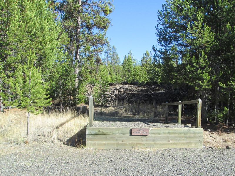
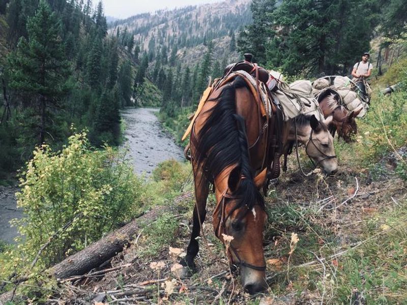
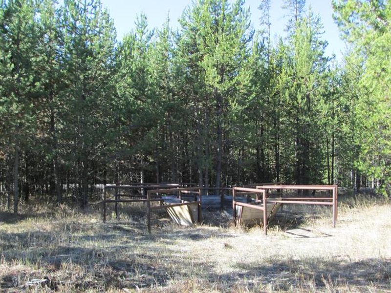
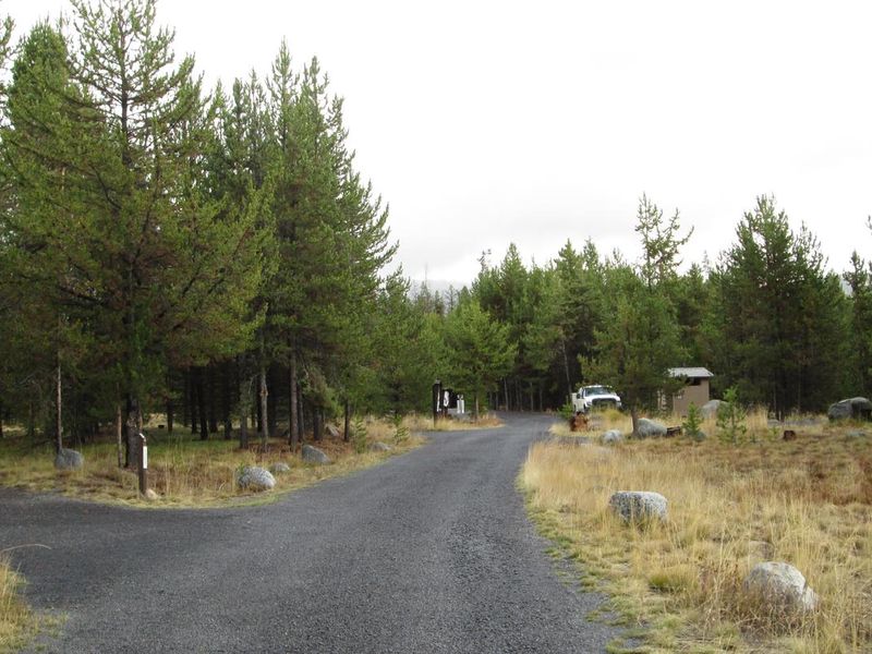
North Fork John Day Campground sits at the junction of the Blue Mountain and Elkhorn Scenic Byways in Umatilla National Forest. The 20-site campground features 14 tent/RV sites, 5 tent-only sites, and one group site, all set within a lodgepole pine forest with over half the sites shaded. The perennial North Fork John Day River runs adjacent to the campground where spawning steelhead and chinook salmon can be observed in spring and fall. The campground serves as the eastern portal into the North Fork John Day Wilderness via Trail #3022. Stock animals are permitted in the north half of the campground (sites 10-16), with corrals, mangers, hitching posts, and an unloading ramp available. Hunting, fishing, hiking, horseback riding, berry picking, and wildlife photography are popular activities. Special state fishing regulations apply. There is no potable water or garbage service, so campers must bring their own water and pack out all trash. The historic mining town of Granite is 9 miles south, and the restored dredge at Sumpter is 22 miles south. Olive Lake, offering fishing and swimming, is 21 miles southwest.
Directions
From Ukiah, OR head southeast on Forest Service Road 52 approximately 40 miles to the North Fork John Day Campground and trailhead. The campground is located at the junction of the Blue Mountain and Elkhorn Scenic Byways.
Amenities
| Water | No |
| Fires Allowed | — |
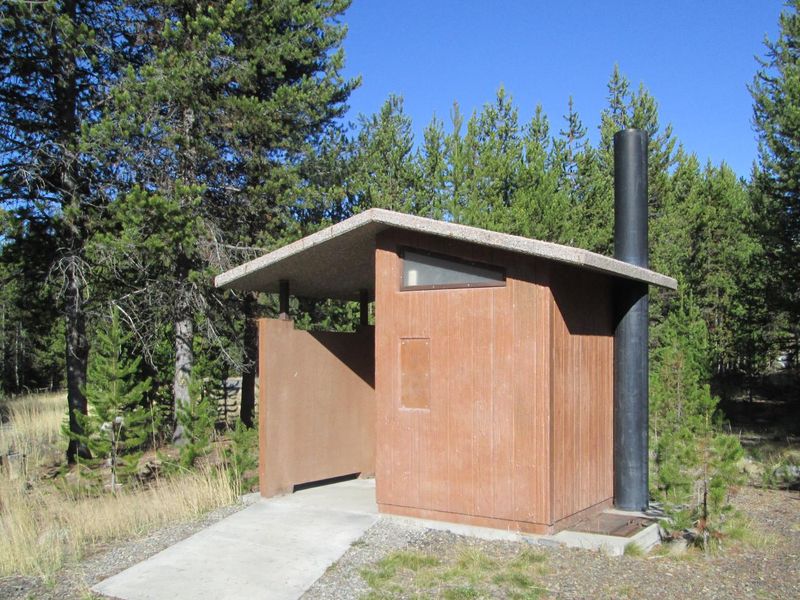
| Toilets | Yes |
| Dump Station | No |
| Wifi | No |
| Pets Allowed | Yes |
| Showers | No |
| Electric Hookups | — |
| Water Hookups | — |
| Sewer Hookups | — |
| Camp Store | No |
| Price | $8 - $25 |
Vehicle
| Max RV Length | 40ft |
| Max Trailer Length | — |
| Big Rig Friendly | — |
| Pull Through Sites | No |
Contact
| r6_umatilla_public_inquiries@usda.gov | |
| Phone | +1 (541) 427-3231 |
Cell Service
| AT&T | None |
| Verizon | None |
| T-Mobile | None |
Availability
Photos

Community Posts
No posts yet. Be the first to share your experience!