Skillman
The campground is currently closed for the season. Tentative opening is May 23, 2026. Regular season runs late May through mid-October, typically Memorial Day to Labor Day weekend, weather dependent.
National Forest System Roads
Follow California Vehicle Code on National Forest System Roads
Fireworks and Explosives are always Prohibited
Fireworks and explosives (including explosive targets) are always prohibited on national forest lands. The prohibition of fireworks and exploding targets on national forest system lands is part of a set of permanent fire safety regulations in the Code of Federal Regulations (CFR), listed below.…
Downieville Downhill Closure Order
Closure of identified forest roads and trails for Downieville Downhill.
About
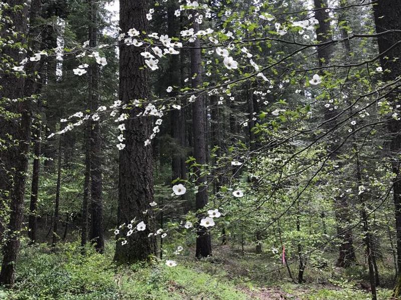
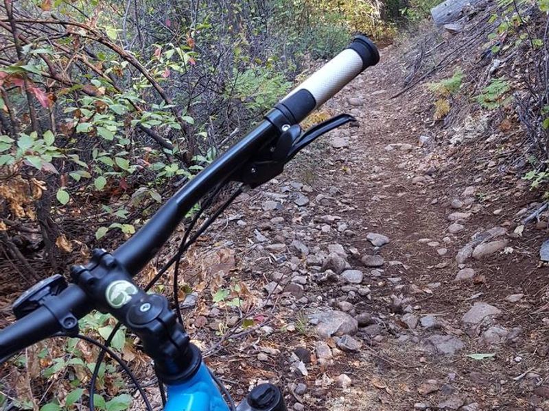
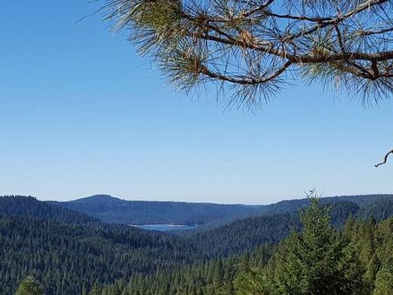
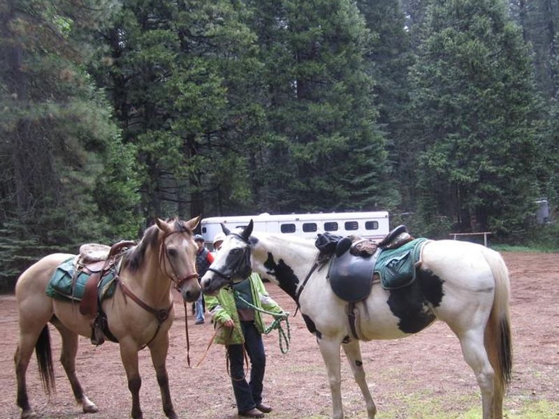
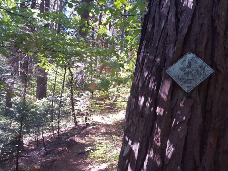
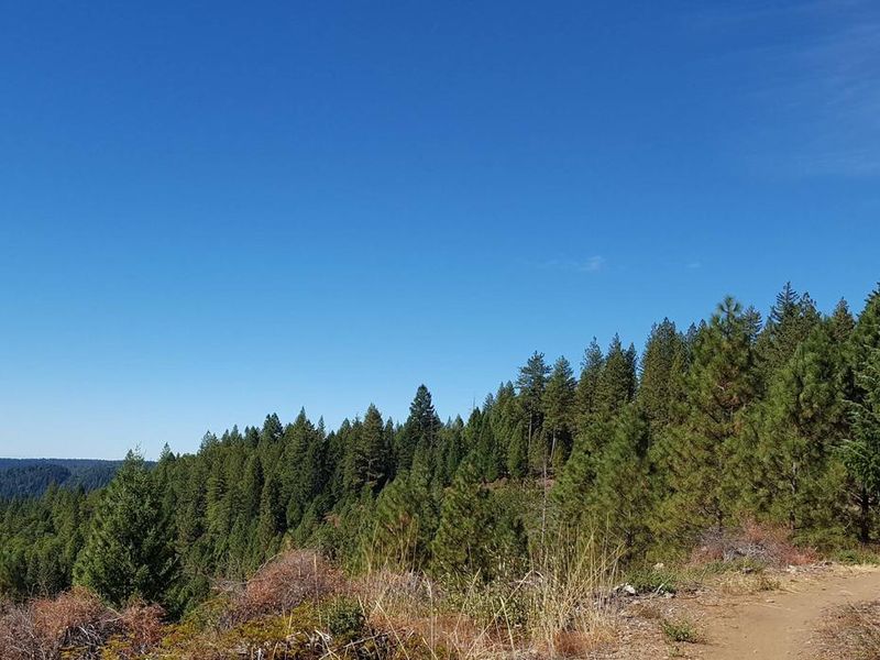
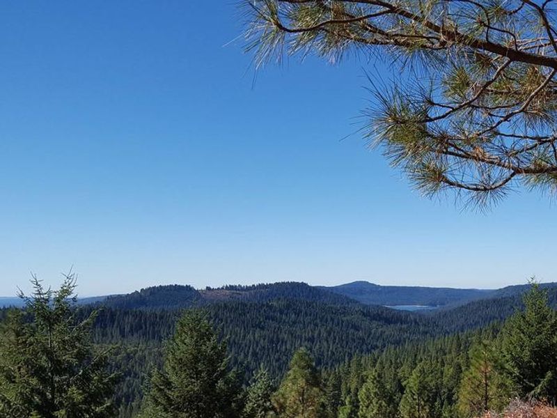
Skillman Campground occupies a lightly used site in a forest of dogwood, cedar, and Douglas fir trees at 3,700 feet elevation in the Tahoe National Forest. The campground has 17 sites including 13 standard nonelectric sites and 4 equestrian sites with horse pens. Sites 3, 7, 9, 11, 13, and 15 feature corrals, hitching posts, and water troughs for stock. The facility accommodates both tent and RV camping with a maximum vehicle length of 35 feet, though no hookups or amenities are available. The campground provides direct access to the Pioneer Trail, a 25-mile National Recreation Trail designated in 2003 that supports horseback riding, hiking, mountain biking, and cross-country skiing. The Burlington OHV trail system is also nearby. Recreation in the area includes boating, off-highway vehicle trails, and exploring gold rush era historical sites in nearby Nevada City and Washington. Vault toilets are provided but water is not potable and is available only for horses and stock. Campers must bring their own drinking water. The campground is unstaffed and fire restrictions may be imposed during hot, dry conditions.
Directions
From Nevada City: Drive 14 miles east on Highway 20 toward Truckee. Turn right at the Skillman Campground sign, then left at the first road intersection into the campground. From Interstate 80: Take exit 161 onto Highway 20 toward Nevada City and drive 13 miles west. Turn left at the Skillman Campground sign, then left at the first road intersection.
Amenities
| Water | No |
| Fires Allowed | Yes |
| Toilets | Yes |
| Dump Station | — |
| Wifi | No |
| Pets Allowed | — |
| Showers | No |
| Electric Hookups | — |
| Water Hookups | — |
| Sewer Hookups | — |
| Camp Store | No |
| Price | $18 - $36 |
Vehicle
| Max RV Length | 35ft |
| Max Trailer Length | 35ft |
| Big Rig Friendly | No |
| Pull Through Sites | No |
Contact
| Phone | +1 (530) 478-6253 |
Cell Service
| AT&T | None |
| Verizon | None |
| T-Mobile | None |
Availability
Photos
Community Posts
No posts yet. Be the first to share your experience!