Slide Group Area
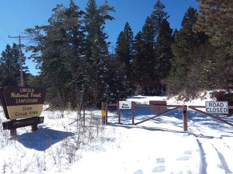
Closed for winter. Opens May 15, 2026. Reservations required via Recreation.gov. Campers must call 575-682-1518 prior to arrival to get the gate lock combination.
Flash Flood Warning issued September 24 at 4:11PM MDT until September 24 at 5:45PM MDT by NWS El Paso Tx/Santa Teresa NM
FFWEPZ The National Weather Service in El Paso Tx/Santa Teresa has extended the * Flash Flood Warning for... Southwestern Otero County in south central New Mexico... * Until 545 PM MDT. * At 411 PM MDT, Doppler radar indicated thunderstorms producing heavy rain across the warned area. Between 2 and 3 inches of rain have fallen. Flash flooding is ongoing or expected to begin shortly. HAZARD...Flash flooding caused by thunderstorms. SOURCE...Radar indicated. IMPACT...Flash flooding of small creeks and streams, urban areas, highways, streets and underpasses as well as other poor drainage and low-lying areas. * Some locations that will experience flash flooding include... Mainly rural areas of Southwestern Otero County.
Flash Flood Warning issued September 24 at 4:08PM MDT until September 24 at 6:15PM MDT by NWS El Paso Tx/Santa Teresa NM
FFWEPZ The National Weather Service in El Paso Tx/Santa Teresa has issued a * Flash Flood Warning for... Southwestern Otero County in south central New Mexico... * Until 615 PM MDT. * At 408 PM MDT, Doppler radar indicated thunderstorms producing heavy rain across the warned area. Between 1.5 and 2 inches of rain have fallen. Flash flooding is ongoing or expected to begin shortly. HAZARD...Flash flooding caused by thunderstorms. SOURCE...Radar indicated. IMPACT...Flash flooding of small creeks and streams, urban areas, highways, streets and underpasses as well as other poor drainage and low-lying areas. * Some locations that will experience flash flooding include... Mainly rural areas of Southwestern Otero County.
Flood Watch issued September 24 at 12:18PM MDT until September 25 at 6:00AM MDT by NWS El Paso Tx/Santa Teresa NM
* WHAT...Flooding caused by excessive rainfall continues to be possible. * WHERE...All of Dona Ana and Otero Counties in south-central New Mexico, as well as the far northern Tularosa Basin in far eastern Sierra County, New Mexico. * WHEN...Through late tonight. * IMPACTS...Excessive runoff may result in flooding of rivers, creeks, streams, and other low-lying and flood-prone locations. Creeks and streams may rise out of their banks. Low-water crossings may be flooded. * ADDITIONAL DETAILS... - Deep moisture will remain in place through at least Friday morning, with weak disturbances producing periods of showers and thunderstorms. These storms will be far more localized than the rain we have already seen, and confidence in precise timing is low. But given the saturated conditions in the area, even brief storms could lead to localized flooding. - http://www.weather.gov/safety/flood
About
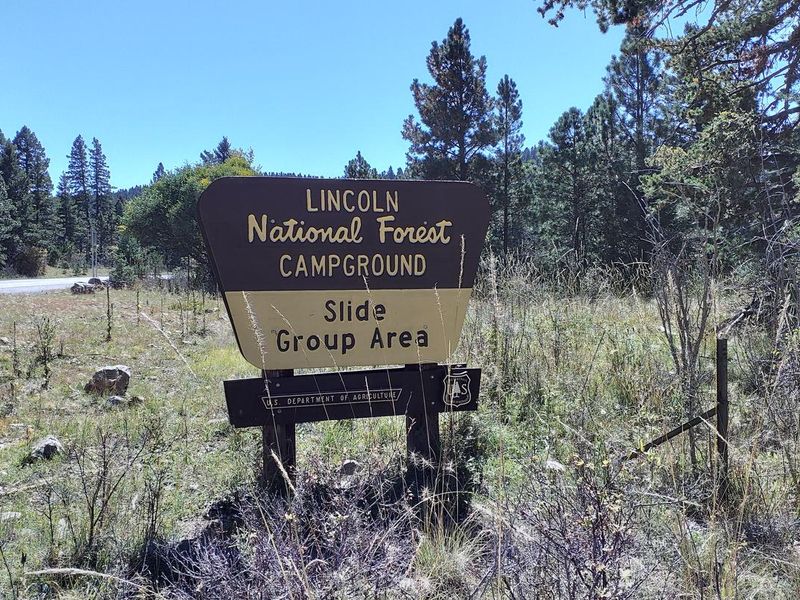
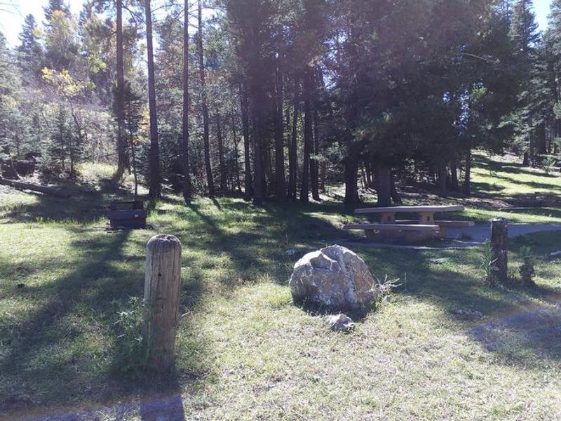
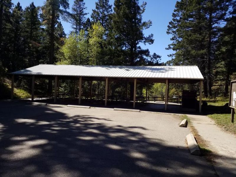
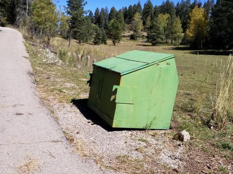
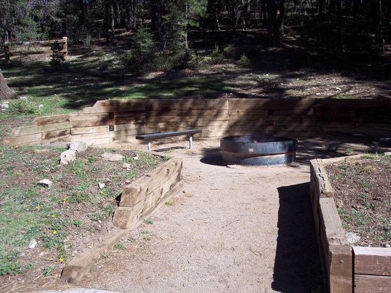
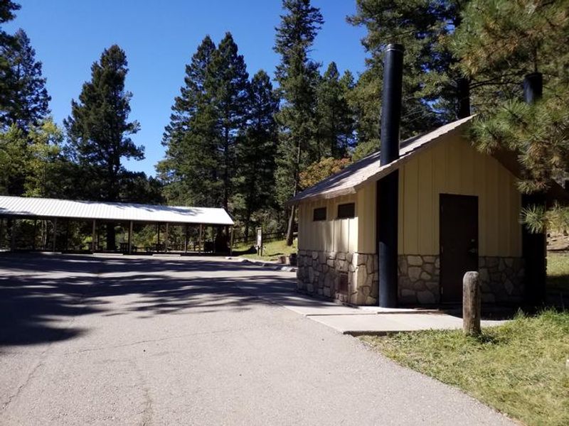
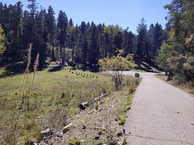
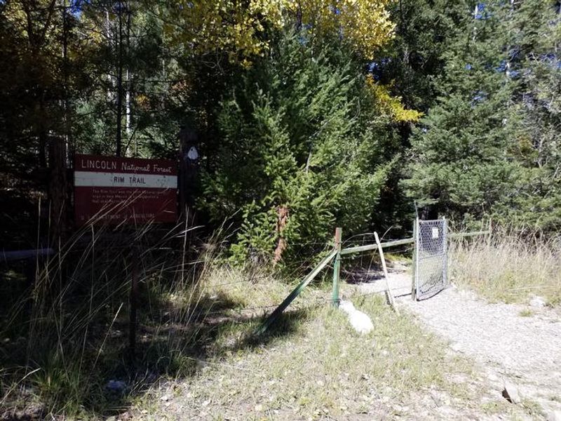
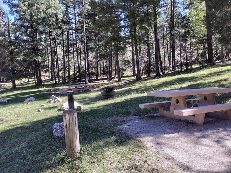
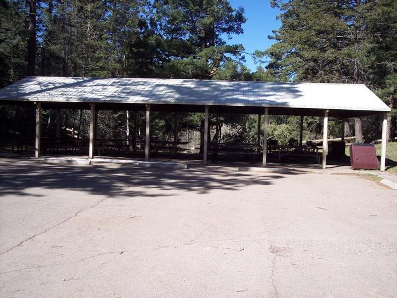
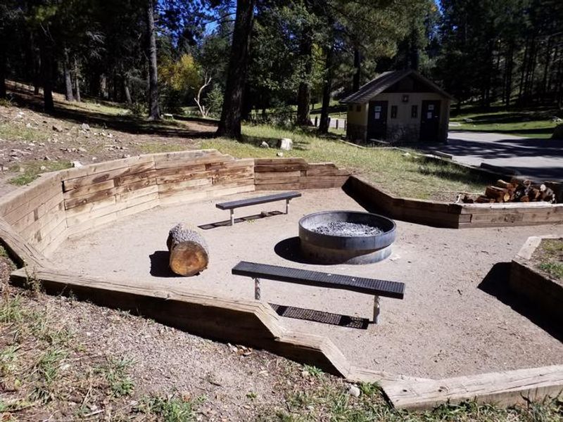
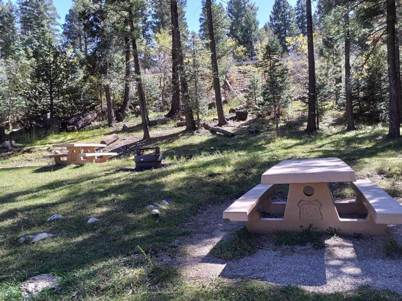
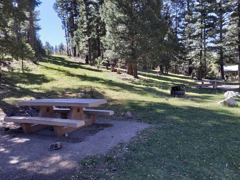
Slide Group Area is an idyllic group campground situated on the rim of the Sacramento Mountains within Lincoln National Forest. At 9,000 feet elevation, the site is surrounded by mixed evergreen and aspen forest, offering sweeping views of the Tularosa Basin below. The campground can accommodate groups of up to 90 visitors and includes a pavilion with tables, an open meadow perfect for group activities like volleyball or football, and parking for approximately 12 trailers or 50 automobiles. The campground backs into the Rim Trail (T105), providing direct access to epic views, rocky hills, and switchbacks. Head north on the trail for mountain biking, hiking, and horseback riding, or head south for the motorcycle-accessible section. Nearby attractions include White Sands National Monument, Oliver Lee Memorial State Park, and the Sunspot Solar Observatory along the scenic Sunspot Byway. Reservations are required through Recreation.gov. Campers must call the ranger station prior to arrival to obtain the gate lock combination. The site offers vault toilets, potable water, fire rings, picnic tables, and trash service. RVs are limited to 35 feet maximum.
Directions
From Alamogordo, take Highway 82 east 16 miles. Just before Cloudcroft, turn right (south) on Highway 130, go approximately 2 miles. Turn right (west) on NM 6563 (Sunspot Highway). Go approximately 1/4 mile; Slide Group Area is on the right.
Amenities
| Water | Yes |
| Fires Allowed | Yes |
| Toilets | Yes |
| Dump Station | — |
| Wifi | No |
| Pets Allowed | — |
| Showers | No |
| Electric Hookups | — |
| Water Hookups | — |
| Sewer Hookups | — |
| Camp Store | No |
| Price | $123 - $154 |
Vehicle
| Max RV Length | 35ft |
| Max Trailer Length | 35ft |
| Big Rig Friendly | No |
| Pull Through Sites | No |
Contact
| Phone | +1 (575) 682-1518 |
Cell Service
| AT&T | Yes |
| Verizon | Yes |
| T-Mobile | None |
Availability
Photos
Community Posts
No posts yet. Be the first to share your experience!