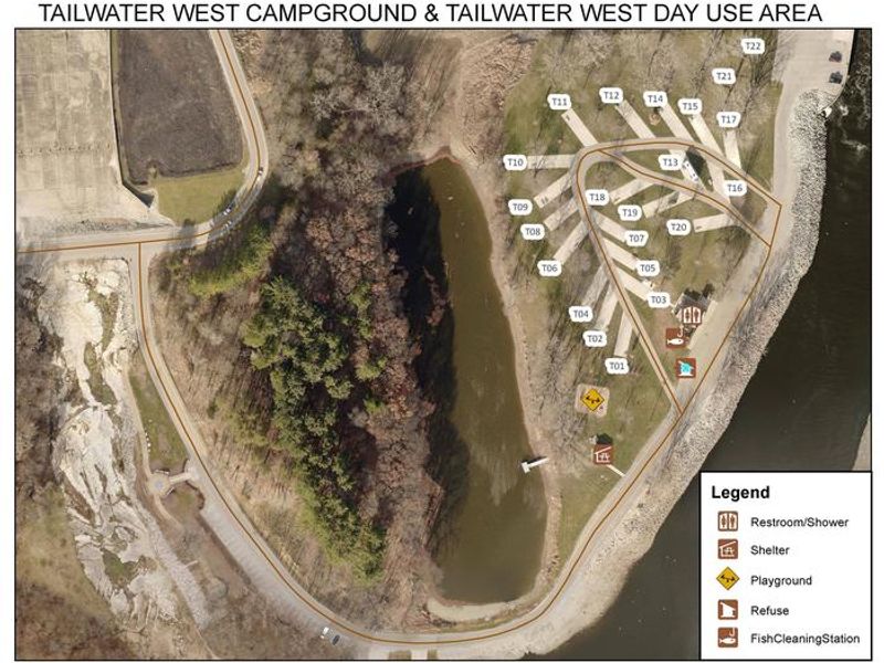
Tailwater West Day Use Area
This is a day-use only area with no overnight camping. The group shelter is available for reservation or free first-come, first-served use when not reserved. All visitors must vacate by sunset.
About
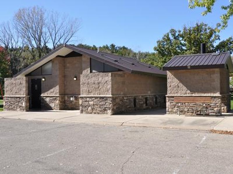
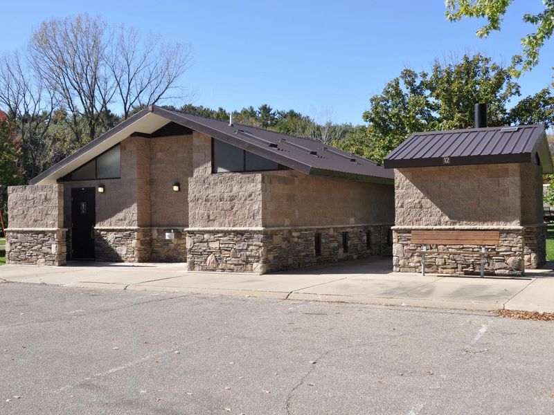
Tailwater West Day Use Area sits in a heavily wooded forest of mixed hardwood species on the west side of Coralville Lake Dam. The facility caters to day visitors seeking picnic and fishing opportunities along the Iowa River tailwaters. The centerpiece is a group shelter with electric service and drinking water that can be reserved through Recreation.gov or used free of charge on a first-come, first-served basis when not reserved. Coralville Lake offers excellent fishing for largemouth and smallmouth bass, crappie, walleye, and catfish. The area includes an accessible fishing pier and connects to several trails within the Dam Complex, including Squire Point, Woodpecker Trail, Tailwater Riverwalk, and the barrier-free Veterans Trail. The nearby Devonian Fossil Gorge provides a unique opportunity to explore a 375-million-year-old sea floor with fossil remains of ancient marine life. This is strictly a day-use area with no overnight camping. All visitors must clean up and vacate the shelters and surrounding grounds by sunset.
Directions
From Interstate 80 (Iowa City), take Exit 244 towards Dubuque St./North Liberty. Travel north on Dubuque St. for 3 miles and turn right onto West Overlook Rd. NE. Travel 1.1 miles, then at the second stop sign turn right onto Prairie Du Chien Rd. NE. Travel east 0.2 miles; entrance is on the right.
Amenities
| Water | Yes |
| Fires Allowed | — |
| Toilets | Yes |
| Dump Station | — |
| Wifi | — |
| Pets Allowed | — |
| Showers | — |
| Electric Hookups | — |
| Water Hookups | — |
| Sewer Hookups | — |
| Camp Store | — |
| Price | $50 |
Vehicle
| Max RV Length | — |
| Max Trailer Length | — |
| Big Rig Friendly | — |
| Pull Through Sites | No |
Contact
| Phone | +1 (319) 338-3543 |
Cell Service
| AT&T | Yes |
| Verizon | Yes |
| T-Mobile | Yes |
Availability
Photos


Community Posts
No posts yet. Be the first to share your experience!