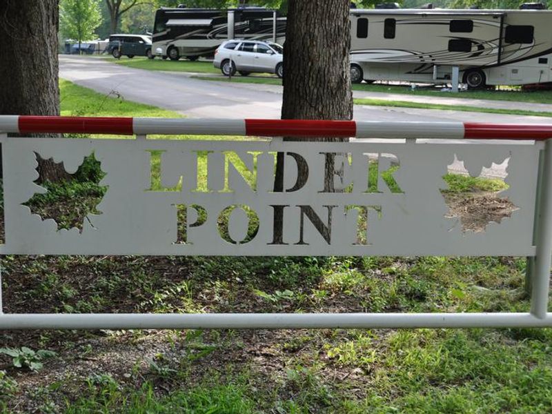
Linder Point Campground
Open for the 2026 season from May 1 through October 31. Reservations available through Recreation.gov up to 6 months in advance. Check-in is 2:00 PM, check-out is 12:00 PM. Maximum 14-day stay limit.
About
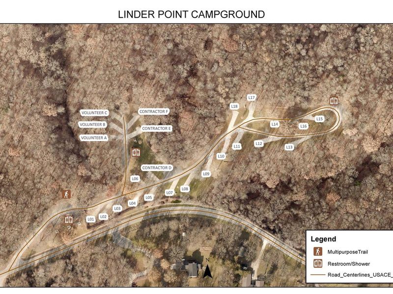
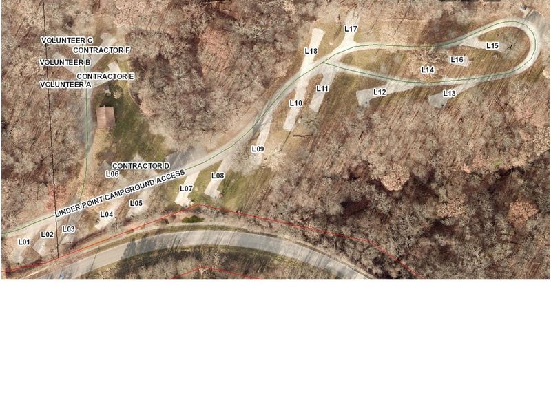
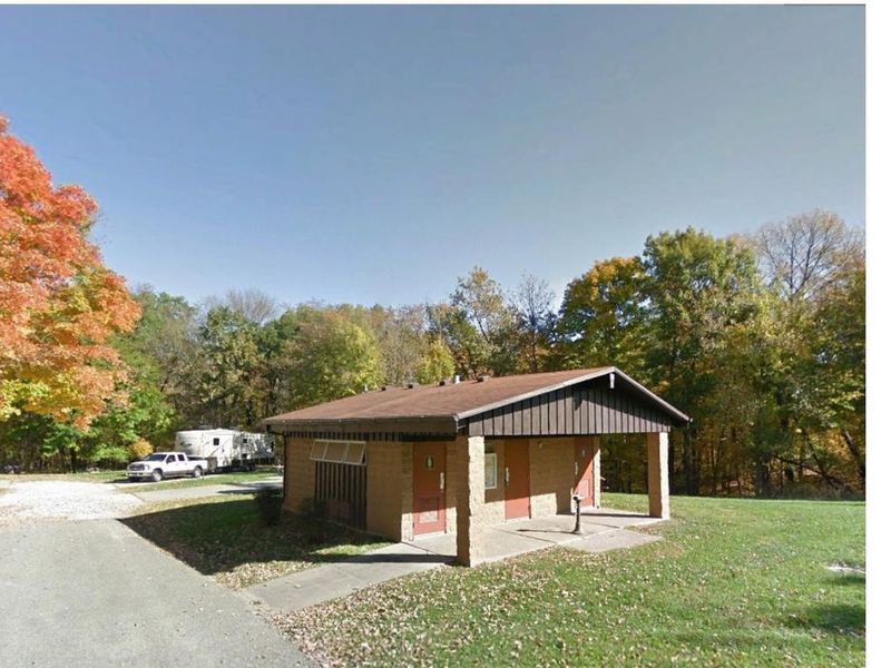
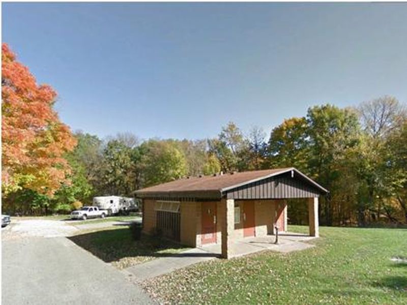
Linder Point Campground is located within the Dam Complex at Coralville Lake, a U.S. Army Corps of Engineers multi-purpose reservoir on the Iowa River just north of Iowa City. The campground occupies a shaded setting among mixed hardwood forest on the west side of the dam, offering 18 campsites ranging from primitive non-electric to full hookup with electric, water, and sewer connections. The campground features modern restroom and shower facilities, with each site equipped with a fire pit and picnic table on paved driveways. Sites accommodate RVs up to 60-64 feet with 20/30/50 amp electrical service available. A dump station and potable water fill station are located just outside the nearby West Overlook Campground. Trash and recycling receptacles are provided throughout. Recreational opportunities abound, including access to the Woodpecker Nature Trail from the adjacent Linder Point Day Use Area, the Turkey Creek Disc Golf Course, and the unique Devonian Fossil Gorge below the dam where visitors can explore a 375-million-year-old sea floor. Coralville Lake offers excellent fishing for largemouth and smallmouth bass, crappie, walleye, and catfish.
Directions
From Interstate 80 (Iowa City), take Exit 244 towards Dubuque St./North Liberty. Travel north on Dubuque St. for 3 miles and turn right onto West Overlook Rd. NE. Travel 0.7 miles; the entrance is on the left. From Interstate 380 (North Liberty), take Exit 4 towards North Liberty. Travel east on W. Penn St. for 2 miles, turn right onto N. Dubuque St. Travel south 1.9 miles, continue straight at the traffic circle onto Dubuque St. NE for another 1.9 miles. Turn left onto West Overlook Rd. NE and travel east 0.7 miles; entrance is on the left.
Nearby Campgrounds
Amenities
| Water | Yes |
| Fires Allowed | Yes |
| Toilets | Yes |
| Dump Station | Yes |
| Wifi | — |
| Pets Allowed | Yes |
| Showers | Yes |
| Electric Hookups | Yes |
| Water Hookups | Yes |
| Sewer Hookups | Yes |
| Camp Store | — |
| Price | $26 |
Vehicle
| Max RV Length | 64ft |
| Max Trailer Length | 64ft |
| Big Rig Friendly | Yes |
| Pull Through Sites | No |
Contact
| coralville.lake@usace.army.mil | |
| Phone | +1 (319) 338-3685 |
Cell Service
| AT&T | Yes |
| Verizon | Yes |
| T-Mobile | Yes |
Availability
Photos


Community Posts
No posts yet. Be the first to share your experience!