Nantahala National Forest
Due to Hurricane Florence the following areas will remain closed on the Croatan National Forest: The Neusiok Trail from Pinecliff Recreation Area Trailhead to Pinecliff Equestrian Trail Detour Fishers Landing Recreation Area Pinecliff Recreation Area Siddie Fields Neuse River Recreation Sites…
Nantahala National Forest
The Appalachian Ranger District Office is closed until further notice for HVAC repairs. The office is available for phone calls, however, in-person sales and services are currently closed.
Nantahala National Forest
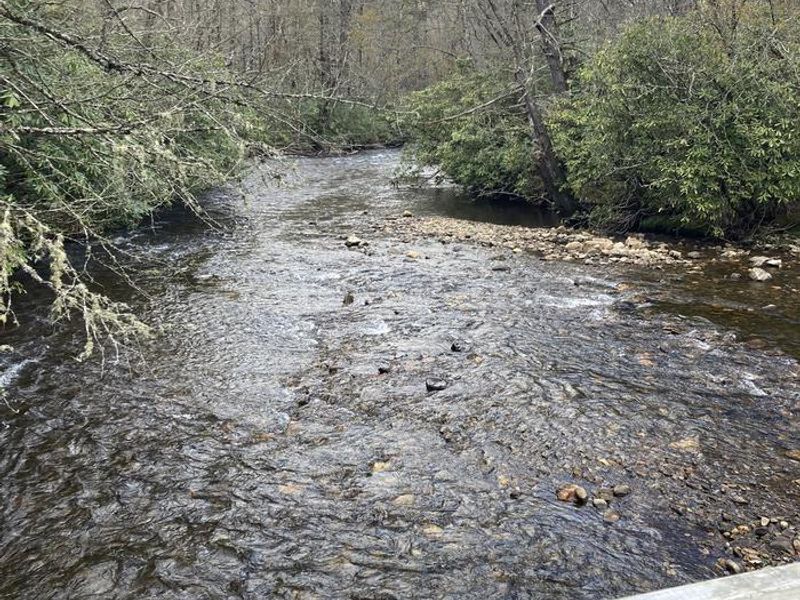
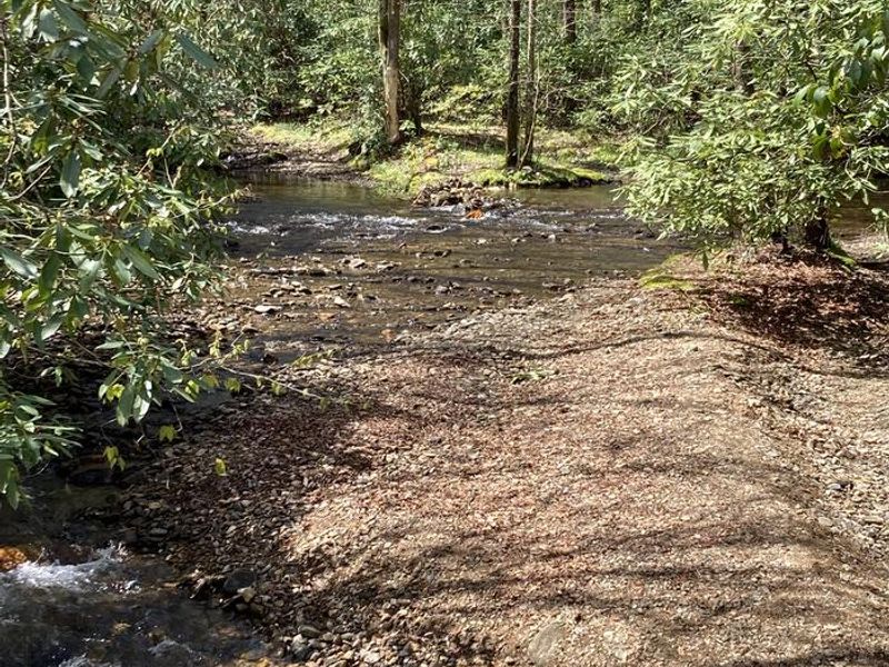
The Pisgah Ranger District on Pisgah National Forest is conducting stream improvements for fish passage due to Helene storm damage on Forest Service Road #225B. Improvements include removing culverts to create a natural bottom ford. For public safety the road is temporarily closed to all traffic,…
Nantahala National Forest
The Pisgah Ranger District of the Pisgah National Forest has partnered with The Pisgah Conservancy and the Blue Ridge Parkway on a project to create the Upper Falls Connector Trail— a new 0.9-mile trail originating at the John Rock Overlook parking area to access Graveyard Fields. Graveyard…
Nantahala National Forest
For the protection of public health and following tropical storm Helene, the following acts are prohibited in the Shope Creek area on the Appalachian Ranger District of the Pisgah National Forest:Going into or being in the described closure area. (Prohibition under 36 CFR § 261.53(e))Use by…
Nantahala National Forest
Connely Creek Road (NFSR 86) on the Nantahala Ranger District will be closed until October 2026 for road improvements. The closure will extend from the intersection of Cowee Bald Road (NFSR 70) to the intersection of Barkers Creek (NFSR 7062). Access to Cowee Bald will only be available from Macon…
Nantahala National Forest
Hurricane Helene left a significant amount of woody debris across much of Western North Carolina, leaving higher-than-usual levels of fuels on the ground. This creates a heightened risk of wildfire. The public can help mitigate this risk by collecting downed wood to warm their homes during the…
Nantahala National Forest
For the protection of public health and safety regarding Interstate 40 reconstruction and associated traffic control near Buzzard Roost, the following acts are prohibited in the Buzzard Roost area:Entry into the closure area. (Prohibited under 36 CFR § 261.53(e))Use of roads within the…
Nantahala National Forest
The following acts are prohibited on and within the Roan Mountain area as shown on the attached map, which is part of this Order:Building, maintaining, attending, or using a fire, campfire, or stove fire. (Prohibition per 36 C.F.R. § 261.52(a))Fire restrictions apply to all National Forest…
Nantahala National Forest
For the protection of public health and safety following Tropical Storm Helene, the following act is prohibited:Being on a National Forest System trail listed below (36 CFR § 261.55(a)):TRI 08 Appalachian Trail, milepost 360.6 through 365.9 in Mitchell County. Signs and detour routes will be…
Nantahala National Forest
For the protection of public health and safety following Tropical Storm Helene, the following acts are prohibited in the Ray Mine Area on the Appalachian Ranger District of the Pisgah National Forest:Going into or being in the described closure area. Prohibited under…
Nantahala National Forest
Please use caution as you travel in and around the Forest. We have a lot of heavy equipment and repair crews in the area working on roads damaged during Hurricane Helene. Up to 2,000 tons of gravel are being placed EVERY DAY on our Forest Service roads through the summer and fall. That's around 60…
Nantahala National Forest
The following acts are prohibited on all National Forest System lands in the Paint Rock area:Entering or being upon the specified closure area — This includes all forms of presence, whether traveling by foot, vehicle, or any other means.This Order is issued to protect the cultural and natural…
Nantahala National Forest
The Iron Mountain Gap detour is now in place to route hikers around the final remaining 6 miles of closed section of the Appalachian Trail from about a mile south of the destroyed Cherry Gap Shelter to about a mile north of Iron Mountain Gap (approx. NOBO mile 360.6 to 365.9). The detour is mapped…
Nantahala National Forest
The following cliff faces and associated climbing routes will close from January 15 to August 15 to climber and drones:Site NameArea ClosedRanger DistrictPickens Nose (East Face)All climbing routs on the East Face are closed.Nantahala Ranger DistrictWhiteside MountainAll climbing routes between and…
Nantahala National Forest
The following act is prohibited within 1000 feet of a road open to public vehicle travel on the Pisgah Ranger District in Buncombe, Haywood, Henderson, and Transylvania Counties in North Carolina.Camping is prohibited in any area not designated as a campsite depicted on the attached map. This…
Nantahala National Forest
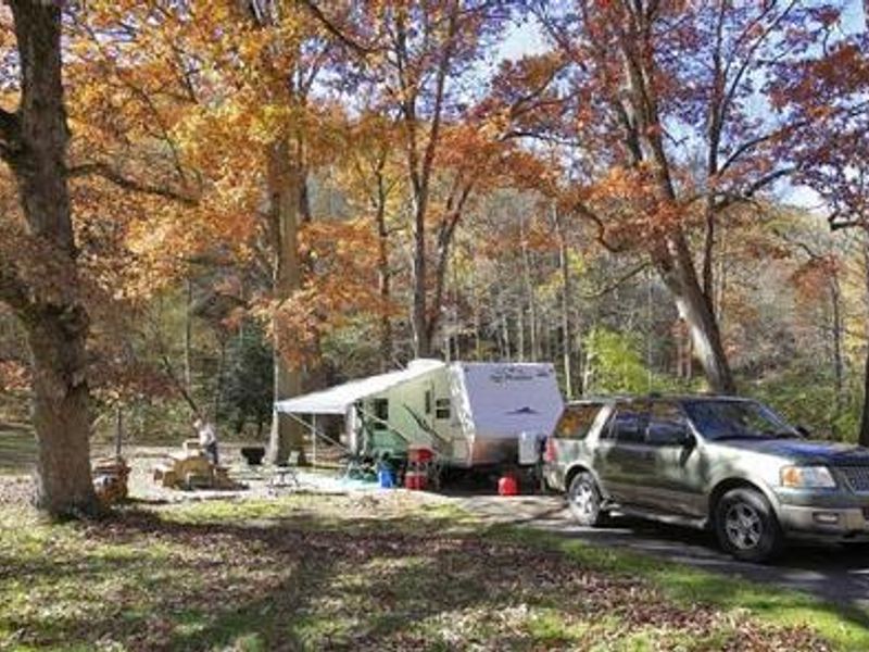
Camping is not permitted within 1,000 feet of a road open to public vehicle traffic On the Pisgah Ranger District. Camping is only allowed in areas depicted as a campsite on this map. Other areas on the map would be within 1,000 feet of a roadway on the Pisgah Ranger District, and therefore not…
Nantahala National Forest
The following acts or omission is prohibited within the Elk Falls Recreation Area as depicted on attached map in Avery County, North Carolina on the Appalachian Ranger District, Pisgah National Forest.Camping, unless specifically posted as being authorized. 36 CFR 261.58(¢) Possessing a beverage…
Nantahala National Forest
The following acts are prohibited in the following areas on the Grandfather Ranger District of the Pisgah National Forest:Possessing a beverage which is defined as an alcoholic beverage by state law. 36 CFR 261.58(BB). This order is for the following areas of the Grandfather Ranger…
Nantahala National Forest
The following acts are prohibited for the protection of public health or safety on the Pisgah Ranger District of the Pisgah National Forest: Possessing a beverage which is defined as an alcoholic beverage by state law. 36 CFR 261.58 (bb) Closure Areas Sycamore Flats Day Use Horsepasture…
Nantahala National Forest
The following acts are prohibited in the Finger Lake Area on the Nantahala Ranger District of the Nantahala National Forest:Possessing a beverage, which is defined as an alcholic beverage by State law. 36 CFR 261.58(bb) Being in the area after sundown or before sunrise. 36 CFR 261.58(1)
Nantahala National Forest
The following acts are prohibited within the Chattooga National Wild and Scenic River Corridor. This order applies to that portion of the Chattooga: National Wild and Scenic River Corridor within the Nantahala National Forest. Entering or being on the waters within the boundaries of the Chattooga…
Nantahala National Forest
Alcohol is prohibited in the following areas on Uwharrie National Forest:Arrow Head CampgroundBadin Lake CampgroundBadin Lake Group CampCanebrake Horse CampBadin Horse CampOverflow Horse CampUwharrie Hunt CampFlintlock Valley Shooting RangeKings Mountain Point Day Use SiteRobbins Branch Wilderness…
Nantahala National Forest
Alcohol is prohibited within the Fishers Landing Recreation Area, specifically 1,500 feet from the shoreline of the Neuse River
Nantahala National Forest
The following restrictions apply to shooting ranges on the National Forests in North Carolina listed below: Atoah Shooting Range Moss Knob Shooting Range Dirty John Shooting Range Panther Top Shooting Range Possessing a beverage that is defined as an alcoholic beverage by state law within…
Nantahala National Forest
The following orders apply to the Pisgah, Nantahala, Uwharrie and Croatan National Forests in North Carolina. This order applies to all motorcycles being driven off of designated roads and all-terrain vehicles (ATVs). For the purpose of this order, ATVs are defined as having a seat to be straddled…
Nantahala National Forest
The following acts are prohibited in the Balsam Lake Day Use Area, Jackson County, Nantahala National Forest. Camping within and around the Balsam Lake Day Use Area, the Tom nMalonee Fishing Trail and Wolf Creek Fishing Trail. Building and or maintaining a fire or campfire. Being in the area…
Nantahala National Forest
The following acts are prohibited in the Whiteside Recreation Area Falls Recreation Area:Camping or establishing a campsite. Building and or maintaining a campfire.
Nantahala National Forest
The following acts are prohibited in the Whitewater Falls Recreation Area, Jackson County, Nantahala National Forest. Camping or establishing a campsite within the Whitewater Falls Recreation Area, the Foothills Trail, Whitewater River Corridor from NC Hwy 281 to the South Carolina State Line as…
Nantahala National Forest
The following act is prohibited in the Arrowood Glade Picnic Area, on the Nantahala Ranger District, Nantahala National Forest: Possessing a beverage which is defined as an alcoholic beverage by State law.
Nantahala National Forest
The following acts are prohibited on the Coweeta Hydrologic Laboratory within the Nantahala Ranger District of the Nantahala National Forest: Building, maintaining, attending or using a fire or campstove. 36 CFR 261.52(a) Camping. 36 CFR 261.58(c)
Nantahala National Forest
The following acts are prohibited on the Nantahala River within the boundaries of the Nantahala National Forest:For public health and safety it is prohibited to enter, ride or float the river without properly wearing a United States Coast Guard approved personal flotation device 36 CFR…
Nantahala National Forest
The following acts are prohibited on the Upper Nantahala River Area on the Nantahala Ranger District of the Nantahala National Forest: Camping in posted and/or maintained wildlife fields. 36 CFR 261.58(c)
Nantahala National Forest
The following acts are prohibited at the Wilson Lick Ranger Station on the Nantahala Ranger District of the Nantahala National Forest:Building, maintaining, attending or using a fire or camp stove. 36 CFR 261.52(a) Camping. 36 CFR 261.58(e)
Nantahala National Forest
The following acts are prohibited on the Wayah Bald Observation Area and the Wayah Bald Picnic Area on the Nantahala Ranger District of the Nantahala National Forest:Building, maintaining, attending or using a fire or campstove. 36 CFR 261.52(a) Camping. 36 CFR 261.58(c)
Nantahala National Forest
The following act is prohibited on the Nantahala River Launch Site on the Nantahala Ranger District of the Nantahala National Forest: Building, maintaining, attending or using a fire, campfire or stove fire. 36 CFR 261.52 (a)
Nantahala National Forest
The following acts are prohibited in the Wayehutta ORV Parking Area, Jackson County, Nantahala National Forest. Camping or establishing a campsite within 500 feet of the Wayehutta ORV Parking Area. Building and or maintaining a campfire.Possession of an alcoholic beverage as defined by state…
Nantahala National Forest
Discharging a firearm within the Croatan National Forest is prohibited expect in the lawful taking of wildlife.
Nantahala National Forest
The following acts are prohibited on designated off-highway vehicle (QHV) trails in the Badin Lake Off-highway Vehicle Recreation Area from December 15 through March 31:Possession or use of a motorized vehicle. 36 CFR 261.53 {(b). Riding, hitching, tethering, or hobbling a horse or other saddle or…
Nantahala National Forest
The following act is prohibited in the Linville Gorge Wilderness on the Grandfather Ranger District of the Pisgah National Forest:Camping October 3 In weekends and Federal Holidays during the period of May 1** through * without a permit. Remaining in the Linville Gorge Wilderness for more than…
Nantahala National Forest
The following acts are prohibited in the Brown Mountain OHV (off Highway vehicle) area on the Grandfather Ranger District of the Pisgah National Forest, and further described on the attached map:Possessing a beverage which is defined as an alcoholic beverage by state law. 36 CFR 261.58(bb).
Nantahala National Forest
The following acts are prohibited in the Wiseman View Recreation Area beginning at the Kistler Memorial Highway on the Grandfather Ranger District of the Pisgah National Forest, and further described on the attached map: Use of vehicles, non- motorized vehicles or wheeled conveyances (bicycles,…
Nantahala National Forest
The following act is prohibited on the Grandfather Ranger District of the Pisgah National Forest, at the following trail heads, along the boundary of the Linville Gorge Wilderness Area and Further described on the attached map:Pine Gap Bynum Bluff Cabin Babel Tower Conley Cave Pinch…
Nantahala National Forest
It is prohibited to go into or be upon the listed areas for the protection of a threatened, endangered, rare, unique or vanishing species of plants in the following areas: Table Rock Mountain The Chimneys Woods Mountain
Nantahala National Forest
The following acts are prohibited on the 2.2 mile section of Wilson Creek on the Grandfather Ranger District of the Pisgah National Forest: Possessing a beverage which is defined as an alcoholic beverage by State Law. 36C 261.58(bb). Camping within 500 feet of Wilson Creek. 36 CFR…
Nantahala National Forest
Alcohol is restricted on the following locations on the Nantahala National Forest:Wayah Bald Tower and Picnic Area Fire’s Creek Picnic AreaBig Choga Dispersed Camping Sites Fire’s Creek Hunter’s Camp Dry Falls Recreational Area Jackrabbit Recreation Area Whiteside Mountain Recreation…
Nantahala National Forest
Metal detecting is only allowed on the sand area of certain designated locations:King's Mountain Point in Uwharrie National ForestLake Powhatan Recreation Area on the Pisgah Ranger District, Pisgah National Forest Ray Mines on the Appalachian Ranger District, Pisgah National Forest Jackrabbit…
Nantahala National Forest
Emergency Requirement to Use Bear Resistant Canisters in: Graveyard Fields Vicinity Shining Rock Wilderness Black Balsam Vicinity Sam’s Knob/Flat Laurel Creek Vicinity All persons camping overnight must use bear-resistant canisters for the storage of all food, refuse, and toiletries in…
Nantahala National Forest
The following acts are prohibited on the Pisgah, Nantahala, Uwharrie and Croatan National Forests: Camping or maintaining a campsite in excess of 14 days within any 30 day time period, unless the campsite has been posted with different stay limits by the Forest Service. 36 CFR…
Nantahala National Forest
The following acts are prohibited in the areas described in this Order within the following National Forests: Chattahoochee, Nantahala, Pisgah, Cherokee, George Washington, and Jefferson.Staying more than 3 days within a 30-day period at any single Appalachian National Scenic Trail shelters within…
Nantahala National Forest
Flintrock Valley Shooting Range rules: It is prohibited to be in the Flintlock Valley Shooting Range Area when the gates on access road 576 are closed and when a Forest Service Range Safety Officer is not present. It is prohibited to be in the Safety Zone at any time, for any purpose. The Safety…
Nantahala National Forest
The following act is prohibited in the North Mills River Campground, roadside campsites 1-6 on Yellow Gap Road FDR 1206, roadside campsites 1-9 on Wash Creek Road FDR 5000 and roadside campsites 1-6 on Hendersonville Reservoir Road FDR 142 in the Pisgah National Forest as shown on the attached map…